A View into the History of the Cape Fear Region–Tens of Thousands of Years into the Past
By Cmdr. William Winner
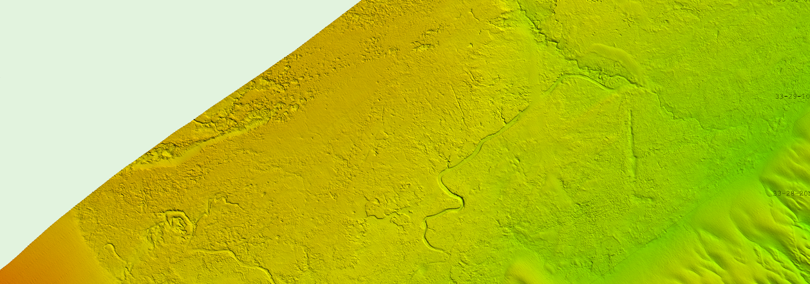
Over the spring and summer of 2024, NOAA Ship Ferdinand R. Hassler surveyed an area southeast of Cape Fear, North Carolina. This area is unique to the East Coast of the United States—whereas most of the East Coast’s seabed is sandy and has large areas of sand waves, this area does not have as much deep sand cover and instead features exposed underlying bedrock.
Continue reading “Ancient river systems, glacial grooves, and steep cliffs discovered near Cape Fear, North Carolina”