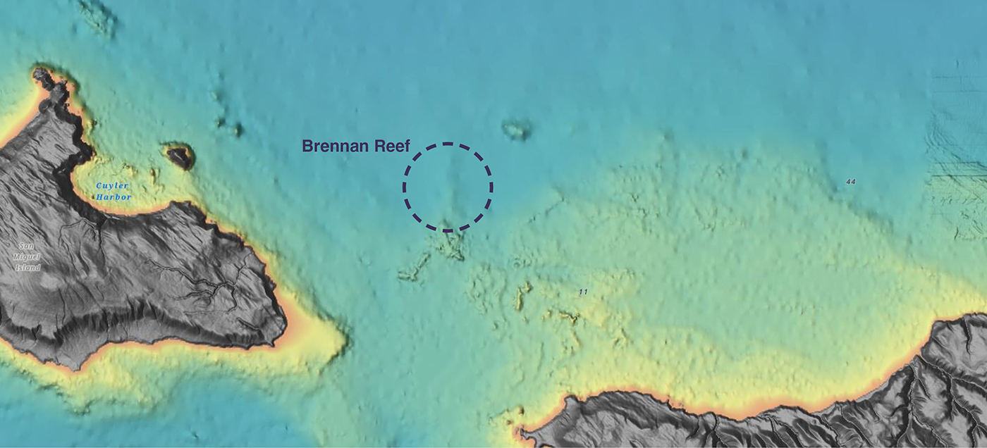
NOAA Corps Rear Adm. Richard T. “Rick” Brennan, recent director of NOAA’s Office of Coast Survey, was deeply dedicated to NOAA’s mission and was an integral part of building connections across NOAA programs to benefit coastal communities around the United States. One example of Rick’s leadership was the Southern California Seafloor Mapping Initiative, a partnership between Coast Survey, Office of National Marine Sanctuaries (ONMS), National Centers for Coastal Ocean Science (NCCOS) and National Marine Fisheries Service (NMFS). Among many important accomplishments of this coordinated mapping effort was the survey of a previously uncharted reef in Channel Islands National Marine Sanctuary. Through legislative action led by U.S. Congressman Salud Carbajal of California’s 24th District, this reef has been officially designated as “Brennan Reef.”
Continue reading “Naming Brennan Reef, a previously uncharted pinnacle in Channel Islands National Marine Sanctuary”Captain Benjamin Evans selected as next Coast Survey Director
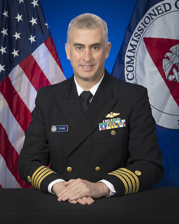
We are pleased to announce that Capt. Benjamin Evans has been selected to serve as the next Director of the Office of Coast Survey. In this capacity, Capt. Evans will lead NOAA’s ocean mapping and nautical charting program, continuing the transformation of the agency’s navigation services to meet the needs of twenty first century mariners and apply Coast Survey’s technical expertise to meet a broad range of requirements for authoritative ocean mapping data. The Director of the Office of Coast Survey also represents NOAA and the United States as the “National Hydrographer” on interagency and international engagements.
Make your voice heard: Provide input on ocean mapping, exploration, and characterization efforts in the U.S. EEZ
The National Ocean Mapping, Exploration, and Characterization Council (NOMEC Council), a group of federal agencies established to carry out the National Strategy for Mapping, Exploring, and Characterizing the United States Exclusive Economic Zone, requests your input on developing an Implementation Plan and setting strategic priorities for the effort to map the entire U.S. Exclusive Economic Zone (EEZ) by 2040 and explore and characterize strategic areas.
Continue reading “Make your voice heard: Provide input on ocean mapping, exploration, and characterization efforts in the U.S. EEZ”NOAA wants to hear from you on ocean and coastal mapping topics
There are three opportunities in the coming month to provide input to NOAA on its navigation services and the future implementation of national ocean and coastal mapping strategies, development of standard ocean mapping protocols, and precision marine navigation.
Continue reading “NOAA wants to hear from you on ocean and coastal mapping topics”NOAA Coast Survey’s new strategy supports charting mandates and broader seafloor mapping
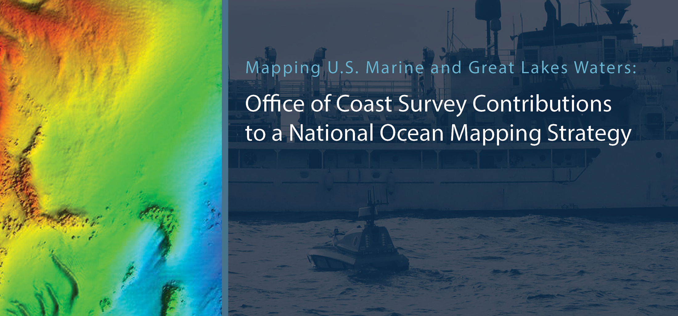
This week, NOAA’s Office of Coast Survey released the Mapping U.S. Marine and Great Lakes Waters: Office of Coast Survey Contributions to a National Ocean Mapping Strategy. This report is part of NOAA’s ongoing commitment to meet core surveying and nautical charting mandates while supporting broader needs to fill gaps in seafloor mapping and environmental sciences.
Continue reading “NOAA Coast Survey’s new strategy supports charting mandates and broader seafloor mapping”Change of command for NOAA Ship Rainier
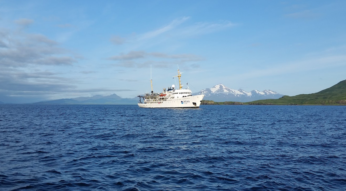
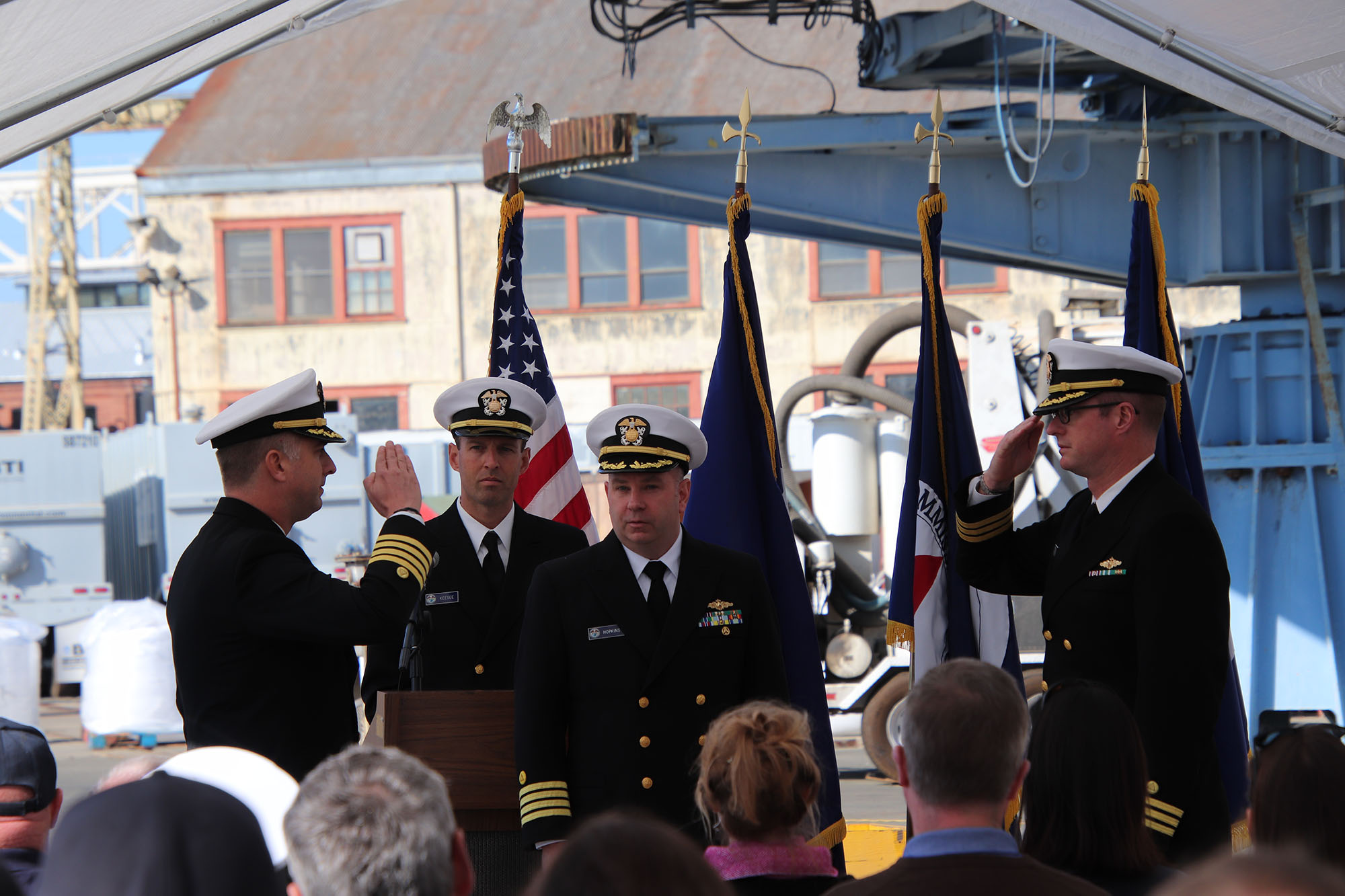
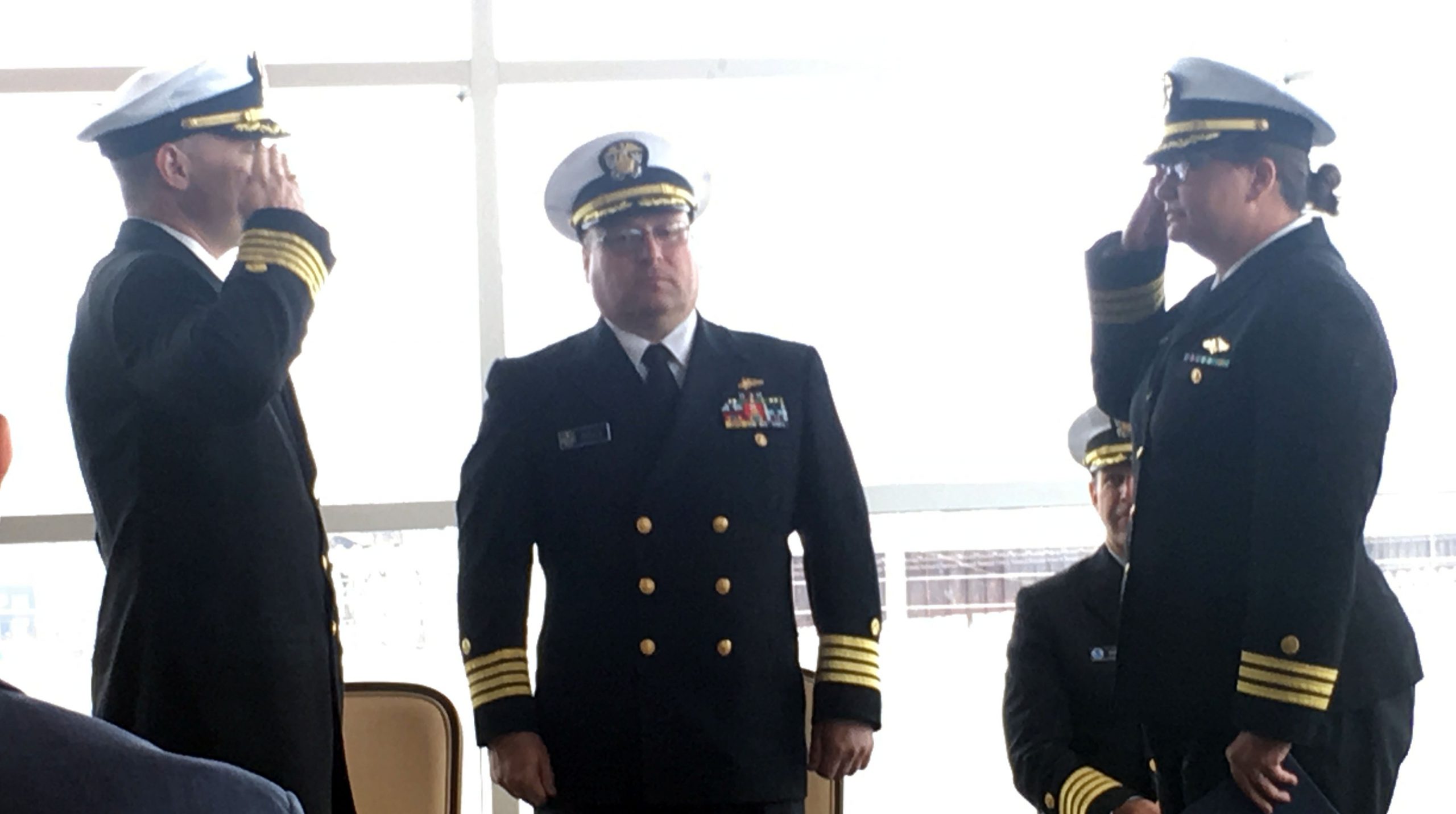
On November 15, 2019, the crew of NOAA Ship Rainier hosted a change of command in Valejo, California. Cmdr. Sam Greenaway accepted command of Rainier, relieving Capt. Ben Evans in a ceremony led by Capt. Michael Hopkins, commanding officer of NOAA’s Office of Marine and Aviation Operations (OMAO) Marine Operations Center-Pacific.
Continue reading “Change of command for NOAA Ship Rainier”S-100 sea trials: working toward harmonized navigation products
By Julia Powell, deputy division chief of the Coast Survey Development Lab
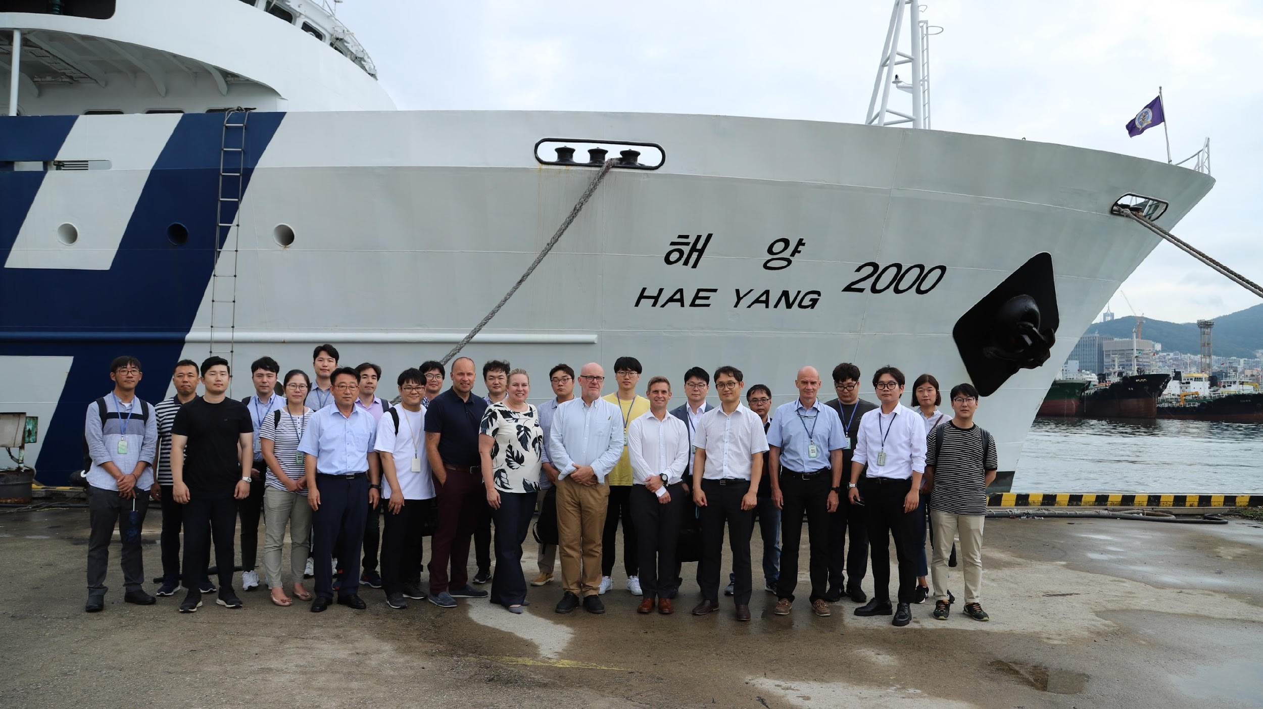
On August 27, an international contingent from the United States (NOAA), the United Kingdom Hydrographic Office, and the Canadian Hydrographic Service participated in the S-100 sea trial in Busan, Republic of Korea.
S-100 is the International Hydrographic Organization’s (IHO) Universal Hydrographic Data Model’s framework standard from which a variety of product specifications can be developed for use within navigation systems and marine spatial data infrastructure. For many years, NOAA and the Ministry of Fisheries of the Republic of Korea have had a Joint Project Agreement and one of the projects is to develop and promote and S-100 test bed. This test bed is designed to help further the development of S-100 infrastructure used to develop S-100 related products and further the testing of S-100 interoperability within navigation systems.
Continue reading “S-100 sea trials: working toward harmonized navigation products”NOAA hosts 2019 Nautical Cartography Open House and Chart Adequacy Workshop
Last week, NOAA’s Office of Coast Survey held its third annual Nautical Cartography Open House welcoming over 250 attendees from the U.S. and abroad. Government agencies, industry and academic partners, and members of the public attended. The open house featured posters, presentations, tours, and exhibits centered around four themes: Bathymetric Databases, Custom Charting, Innovative Cartography, and Precision Navigation. Dr. Shachak Pe’eri, organizer of the event and chief of the Cartographic Support Branch in the Marine Chart Division, welcomed attendees in the morning and John Nyberg, chief of the Marine Chart Division, gave the keynote speech.
Continue reading “NOAA hosts 2019 Nautical Cartography Open House and Chart Adequacy Workshop”Change of command for NOAA Ship Thomas Jefferson
On April 12, 2019, the crew of NOAA Ship Thomas Jefferson hosted a change of command in Brooklyn, NY. Cmdr. Briana Welton Hillstrom accepted command of Thomas Jefferson, relieving Capt. Christiaan van Westendorp in a ceremony led by Capt. David Zezula, commanding officer of NOAA’s Office of Marine and Aviation Operations (OMAO) Marine Operations Center-Atlantic.
Continue reading “Change of command for NOAA Ship Thomas Jefferson”
Everyday actions keep mariners safe aboard NOAA hydrographic survey vessels
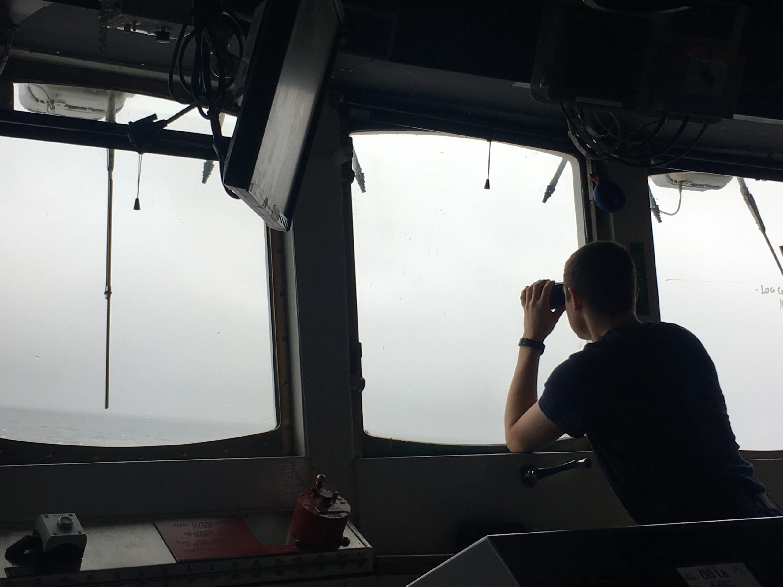
Collecting bathymetric data for our nation’s nautical charts requires skilled work on the water. Whether survey data is actively being collected or the ship is transiting to its next destination, NOAA crews perform a number of ancillary tasks as they operate NOAA hydrographic ships 24 hours a day, 7 days a week. Atmospheric and ecological observations provide context for the crew so they can avoid dangerous situations, while also supporting NOAA environmental databases and records. Drills and training are necessary to keep people and property safe. The following are some of the actions the mariners take while they are aboard the vessel.
Continue reading “Everyday actions keep mariners safe aboard NOAA hydrographic survey vessels”

