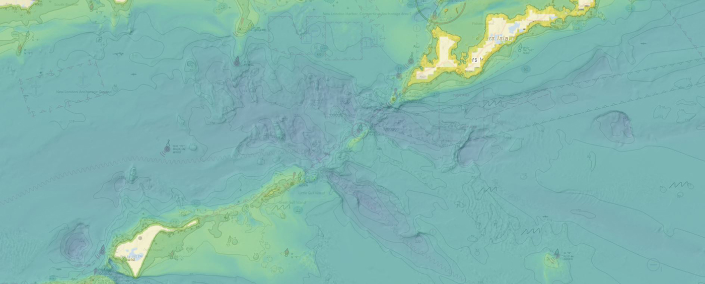
NOAA’s Office of Coast Survey produces and maintains several types of data models and products, from operational forecast systems to nautical charts. One of these models comes from the office’s National Bathymetric Source, or NBS, program which creates and maintains high-resolution bathymetry composed of the best available data. Bathymetry is a term that refers to the depths and shapes of underwater terrain and is a visualization of the “beds” or “floors” of water bodies, including the ocean, rivers, streams, and lakes. This data model is available to the public in a product called BlueTopo.
NOAA announces plans to survey Port Valdez and solicits proposals for 2026 funding opportunity
The National Oceanic and Atmospheric Administration is pleased to announce a partnership with the City of Valdez for a hydrographic surveying project in Port Valdez. This project was selected for the Brennan Matching Fund from last year’s round of applicants and is slated to occur in 2025. The project will provide high resolution bathymetry and backscatter data over approximately 32.5 square nautical miles, and supply a contemporary baseline to help city emergency managers understand and prepare for potential impacts of submarine landslides.
NOAA’s 2024 hydrographic survey season is underway
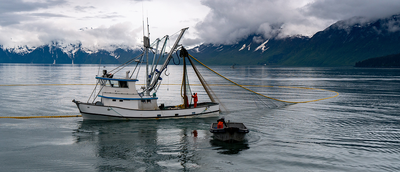
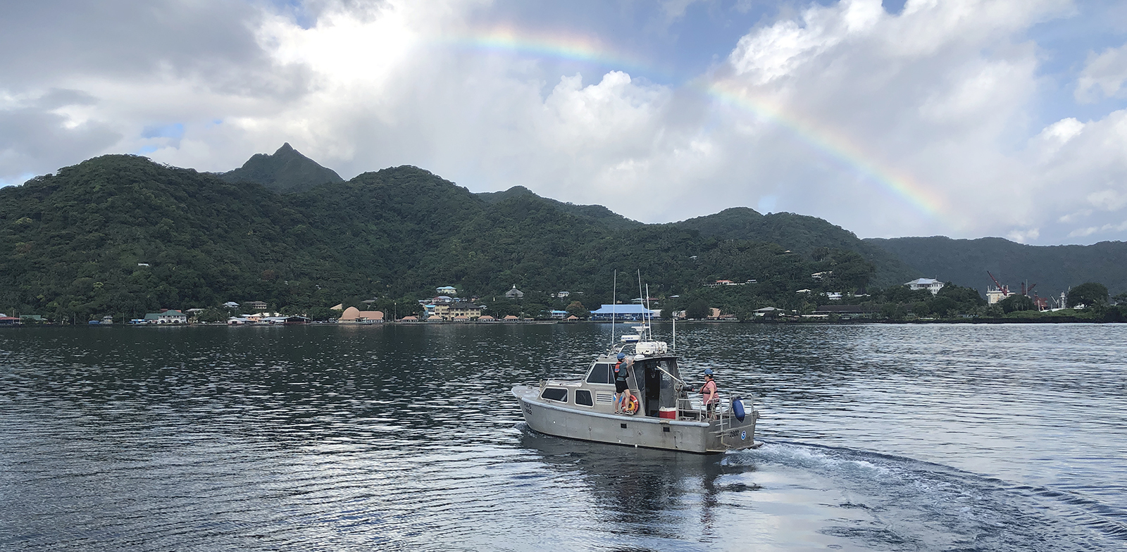
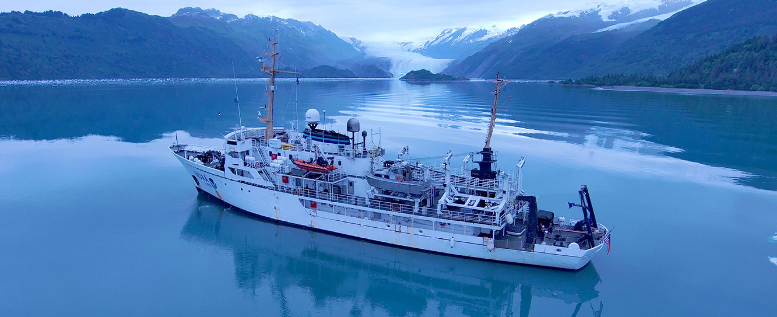
The National Oceanic and Atmospheric Administration’s 2024 hydrographic survey season is ramping up and will be in full swing before too long. For the past few months, NOAA hydrographic survey ships, navigation response teams, and contractors have been diligently preparing for the upcoming field season. The ships and survey vessels collect bathymetric data to support nautical charting, modeling, and research, but also collect other environmental data to support a variety of ecosystem sciences. NOAA considers hydrographic survey requests from stakeholders such as marine pilots, local port authorities, the Coast Guard, and the boating community, and also considers other hydrographic and NOAA science priorities in determining where to survey and when. Visit our “living” ArcGIS StoryMap to find out more about our mapping projects and if a hydrographic vessel will be in your area this year!
Continue reading “NOAA’s 2024 hydrographic survey season is underway”NOAA Announces 2024 Brennan Matching Fund Selection and Webinar for 2025 Funding Opportunity
Meet our FY2024 Brennan Matching Fund partner at the upcoming August 10 webinar for the 2025 Rear Admiral Richard T. Brennan Ocean Mapping Fund program! The National Oceanic and Atmospheric Administration (NOAA) is pleased to announce our partnership with the State of Connecticut’s Department of Energy and Environmental Protection (CTDEEP) on behalf of the Steering Committee for the Long Island Sound Cable Fund (LISCF) for a hydrographic surveying project in Long Island Sound. The LISCF Steering Committee project was selected for the Brennan Matching Fund from last year’s round of applicants. Register for the August 10 informational webinar to learn about the new 2025 funding opportunity and to hear from a CTDEEP representative about their experience with the mapping matching fund process!
Continue reading “NOAA Announces 2024 Brennan Matching Fund Selection and Webinar for 2025 Funding Opportunity”NOAA releases 2023 hydrographic survey season plans
NOAA hydrographic survey ships, navigation response teams, and contractors are preparing for the 2023 hydrographic survey season. The ships and survey vessels collect bathymetric data (i.e. map the seafloor) to support nautical charting, modeling, and research, but also collect other environmental data to support a variety of ecosystem sciences. NOAA considers hydrographic survey requests from stakeholders such as marine pilots, local port authorities, the Coast Guard, and the boating community, and also considers other hydrographic and NOAA science priorities in determining where to survey and when. Visit our “living” ArcGIS StoryMap to find out more about our mapping projects and if a hydrographic vessel will be in your area this year!
Continue reading “NOAA releases 2023 hydrographic survey season plans”Ocean and coastal mapping matching fund opportunity
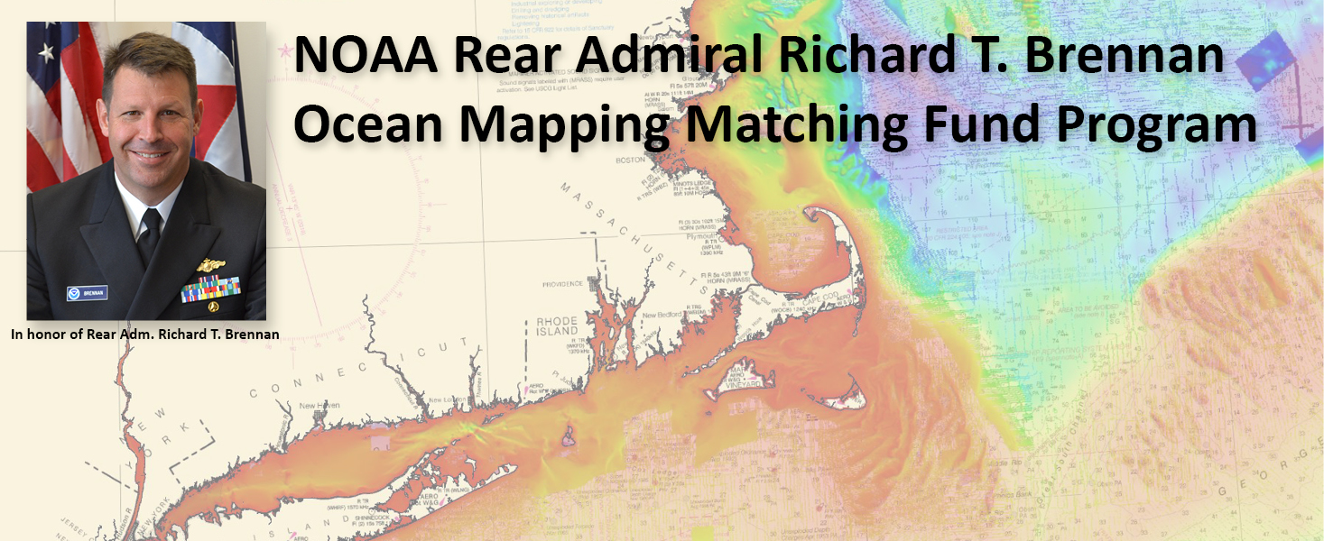
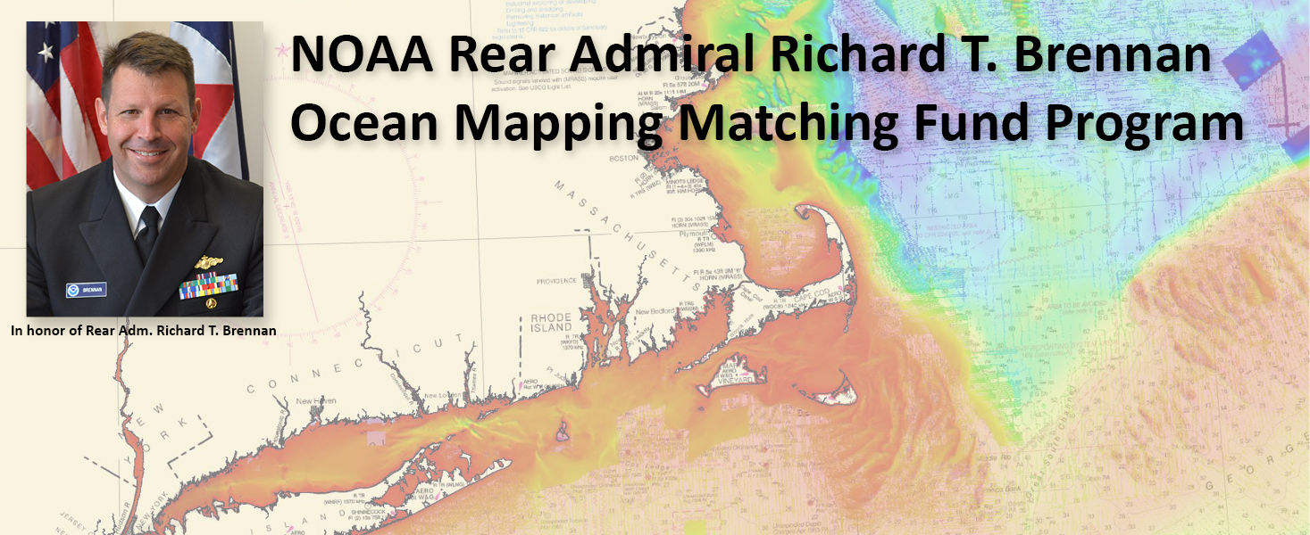
The Office of Coast Survey invites non-federal entities to partner with NOAA National Ocean Service’s ocean and coastal mapping programs on jointly funded projects of mutual interest using NOAA’s geospatial contracting vehicles. Known as the Brennan Matching Fund, the opportunity relies on NOAA’s mapping, charting, and geodesy expertise, appropriated funds, and its authority to receive and expend matching funds contributed by partners to conduct surveying and mapping activities. Partners benefit from this opportunity by leveraging NOAA’s contracting expertise, including its pool of pre-qualified technical experts in surveying and mapping as well as data management to ensure that the mapping data are fit for purpose and are usable for a broad set of purposes, including, for example, safe navigation, integrated ocean and coastal mapping, coastal zone management, renewable energy development, coastal and ocean science, climate preparedness, infrastructure investments, and other activities.
Continue reading “Ocean and coastal mapping matching fund opportunity”NOAA releases 2022 hydrographic survey season plans
NOAA hydrographic survey ships and contractors are preparing for the 2022 hydrographic survey season in U.S. coastal waters and beyond. The ships collect bathymetric data (i.e. map the seafloor) to support nautical charting, modeling, and research, but also collect other environmental data to support a variety of ecosystem sciences. NOAA considers hydrographic survey requests from stakeholders such as marine pilots, local port authorities, the Coast Guard, and the boating community, and also considers other hydrographic and NOAA science priorities in determining where to survey and when. Visit our “living” story map to find out more about our mapping projects and if a hydrographic vessel will be in your area this year!
Continue reading “NOAA releases 2022 hydrographic survey season plans”New hydrographic surveying matching fund announced
Update (2/19/21) – Notes and slides from the January 28, 2021, webinar on the NOAA Coast Survey Matching Fund Opportunity are now available.
NOAA’s Office of Coast Survey recently announced a new pilot program for a Hydrographic Surveying Matching Fund opportunity through a Federal Register Notice. The purpose of this notice is to encourage non-federal entities to partner with NOAA on jointly-funded hydrographic surveying, mapping, and related activities of mutual interest. The pilot program relates directly to Coast Survey’s Ocean Mapping Plan and a goal to expand U.S. EEZ mapping by also expanding use of Coast Survey’s hydrographic services contract vehicle.
Continue reading “New hydrographic surveying matching fund announced”By the Numbers: Coast Survey’s 2020 Atlantic Hurricane Season
As the 2020 Atlantic hurricane season came to a close on November 30, NOAA’s Office of Coast Survey tallied a few numbers to see what the combined response effort of the navigation response teams, NOAA Ship Thomas Jefferson, and hydrographic survey contractor David Evans & Associates, Inc., looked like.
Continue reading “By the Numbers: Coast Survey’s 2020 Atlantic Hurricane Season”Autonomous vessel operations in the Arctic: Lessons learned from the Summer 2020 Mapping Mission
On May 28, 2020, four uncrewed vessels departed Alameda, California, to begin their transit across the Pacific Ocean, through Unimak Pass, across the Bering Sea, and into the Arctic. These small, uncrewed vessels, powered only by wind and sun, arrived at Point Hope, Alaska, in early August to start an ambitious project acquiring new depth data along the 20 and 50 meter depth contours from Point Hope to the Canadian border. This was the start of a challenging Arctic project that would contend with weather, sea ice, and equipment failures, all while avoiding potential conflicts with indigenous subsistence hunting.
Continue reading “Autonomous vessel operations in the Arctic: Lessons learned from the Summer 2020 Mapping Mission”