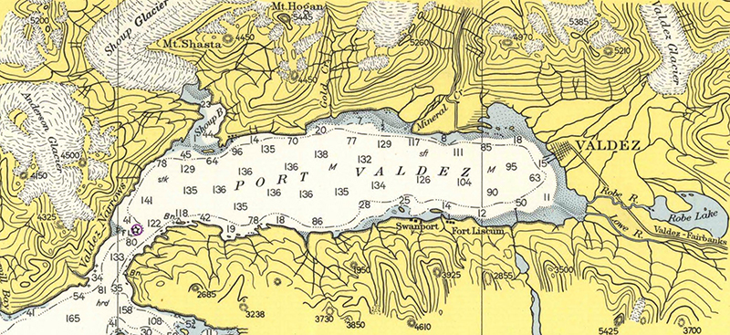
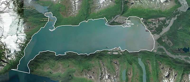
The National Oceanic and Atmospheric Administration is pleased to announce a partnership with the City of Valdez for a hydrographic surveying project in Port Valdez. This project was selected for the Brennan Matching Fund from last year’s round of applicants and is slated to occur in 2025. The project will provide high resolution bathymetry and backscatter data over approximately 32.5 square nautical miles, and supply a contemporary baseline to help city emergency managers understand and prepare for potential impacts of submarine landslides.

The town of Valdez, Alaska is on the north shore of Port Valdez, the designation given the body of water extending from Valdez Narrows to the head of the bay. The town was formerly at the head of Port Valdez but was relocated to its present site due to the March 1964 earthquake which decimated the Old Town of Valdez through a series of submarine landslides causing inundating tsunamis that swept away infrastructure and contributed to loss of life. To this day, large amounts of unconsolidated sediment are routinely deposited in Port Valdez, however, the amount, size, or location of these deposits is unknown.
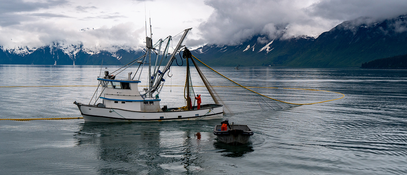
Valdez is an important gateway to interior Alaska and is the northernmost ice-free port in the Western Hemisphere. It serves as the southern terminus for the Trans-Alaska Pipeline System, has a commercial fishing fleet, and is popular for tour and excursion boats. The last hydrographic surveys were conducted over twenty years ago. Given the important oil transportation infrastructure and population in Valdez, a new hydrographic survey of the fjord would have substantial impact on mitigating risk and increasing local understanding of the tsunami hazard and submarine landslide processes.

The Brennan Matching Fund commemorates the vision of former Coast Survey Director Rear Adm. Richard T. Brennan, who passed away in 2021. Admiral Brennan was a champion of Coast Survey’s hydrographic knowledge and expertise to fulfill many coastal and ocean mapping needs under the Integrated Ocean and Coastal Mapping banner to “Map Once, Use Many Times.” He understood that knowledge of the seafloor’s depth, shape, and composition has far-reaching benefits, including safer navigation, hazard mitigation for coastal climate resilience, preservation of marine habitats and heritage, and a deeper understanding of natural resources for sustainable ocean economies. He also knew that mapping the full extent of U.S. coastal, ocean, and Great Lakes waters would mean relying on partnerships to combine resources and expertise.

NOAA and the City of Valdez signed a memorandum of agreement in 2024 which will transfer City of Valdez funds to NOAA in order to contract for the surveying and mapping activities in 2025. The City of Valdez project, and the Brennan Matching Fund as a whole, expand our collaborative partnerships and mapping efforts to fill modern data gaps in our ocean, coastal and Great Lakes waters. Results of this project will contribute to the Seascape Alaska regional mapping campaign.
Interested in partnering on a 2026 Brennan Matching Fund project?
NOAA’s ocean and coastal mapping programs invite non-federal entities to partner on jointly-funded mapping projects of mutual interest under the Brennan Matching Fund program. NOAA will match up to five selected non-federal partners at a ratio of 70-to-30 for contract mapping projects totaling up to $1 million for surveying ocean, coastal, and/or Great Lakes waters. Selected non-federal partners benefit from this opportunity by leveraging NOAA’s contracting pool of pre-qualified technical experts in surveying and mapping, and data management expertise. This funding opportunity relies on NOAA’s mapping, charting, and geodesy expertise, appropriated funds, and its authority to receive and expend matching funds contributed by partners to conduct contract surveying and mapping activities.
More information on this opportunity can be found in the Federal Register Notice. Project proposals for the 2026 opportunity must be received by 5:00 p.m. (EDT) on October 11, 2024. Additional information can be found at the Integrated Ocean and Coastal Mapping website. Questions may be directed to iwgocm.staff@noaa.gov.

