NOAA releases Long Island Sound survey data to support electric power cable planning

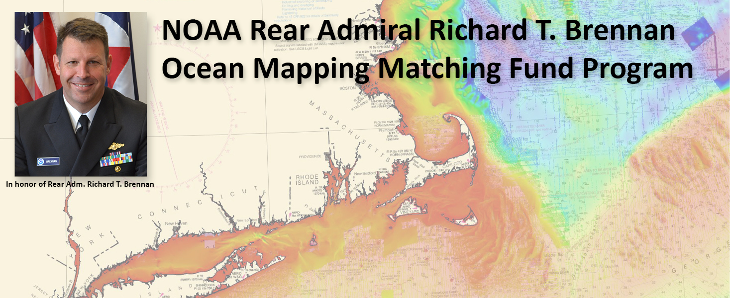
We are pleased to announce the availability of new seafloor mapping data to support energy infrastructure planning in the Long Island Sound!

This survey is the result of a Coast Survey partnership with the Connecticut Department of Energy and Environmental Protection (CTDEEP) through NOAA’s Brennan Ocean Mapping Fund opportunity, a program that allows non-federal organizations to co-fund projects of mutual interest utilizing NOAA’s contracting and data management expertise. NOAA selected this project in the FY2024 round of the matching fund opportunity.

Continue reading “NOAA releases Long Island Sound survey data to support electric power cable planning”

The Interagency Working Group on Ocean and Coastal Mapping announces progress on mapping U.S. ocean, coastal, and Great Lakes waters

The federal Interagency Working Group on Ocean and Coastal Mapping recently released the sixth annual report on progress made in mapping U.S. ocean, coastal, and Great Lakes waters. To safeguard our national security and economic prosperity, ocean mapping, exploration, and characterization is foundational to maritime commerce, domestic energy and seafood production, tourism and recreation, and understanding of our natural resources, among other interests. The 2020 National Strategy for Mapping, Exploring, and Characterizing the United States Exclusive Economic Zone (NOMEC) makes comprehensive ocean mapping a priority for the coming decade. The Unmapped U.S. Waters report tracks progress toward these important goals.

Continue reading “The Interagency Working Group on Ocean and Coastal Mapping announces progress on mapping U.S. ocean, coastal, and Great Lakes waters”

Office of Coast Survey 2024 Year in Review

A group of images showing various activities undertaken by the Office of Coast Survey throughout the course of 2024.

As we look ahead to continued progress in 2025, NOAA’s Office of Coast Survey is proud to share some highlights of the past year with you. We mounted successful emergency responses to reopen ports quickly and safely after hurricanes and a bridge collapse; completed a five-year process to transition to fully electronic navigational chart production; provided hands-on learning experiences for students aboard NOAA Ship Nancy Foster; and much more, all in service of delivering authoritative ocean and lakebed mapping information as the nation’s chartmaker.

Continue reading “Office of Coast Survey 2024 Year in Review”

NOAA announces plans to survey Port Valdez and solicits proposals for 2026 funding opportunity

An image of a fishing boat with deployed fish net in calm water with mountains in the background.

The National Oceanic and Atmospheric Administration is pleased to announce a partnership with the City of Valdez for a hydrographic surveying project in Port Valdez. This project was selected for the Brennan Matching Fund from last year’s round of applicants and is slated to occur in 2025. The project will provide high resolution bathymetry and backscatter data over approximately 32.5 square nautical miles, and supply a contemporary baseline to help city emergency managers understand and prepare for potential impacts of submarine landslides.

Continue reading “NOAA announces plans to survey Port Valdez and solicits proposals for 2026 funding opportunity”

The Interagency Working Group on Ocean and Coastal Mapping announces the release of the Standard Ocean Mapping Protocol

A decorative banner image showing a colorful digital terrain model, remotely operated vehicle and corals.

The members of the federal Interagency Working Group on Ocean and Coastal Mapping (IWG-OCM) are thrilled to announce the release of the first Standard Ocean Mapping Protocol (SOMP)! The SOMP is a standardized technical protocol for acquisition, processing, and archiving of ocean and coastal mapping data. It was developed in support of National Strategy for Ocean Mapping, Exploring, and Characterizing the United States Exclusive Economic Zone (NOMEC) goals and is built from existing standards and best practices developed by the ocean and coastal mapping community.

Continue reading “The Interagency Working Group on Ocean and Coastal Mapping announces the release of the Standard Ocean Mapping Protocol”

The Interagency Working Group on Ocean and Coastal Mapping announces progress on mapping U.S. ocean, coastal, and Great Lakes waters

An image of high resolution bathymetry using various colors to represent seafloor elevation.

The federal Interagency Working Group on Ocean and Coastal Mapping recently released the fifth annual report on progress made in mapping U.S. ocean, coastal, and Great Lakes waters. Knowledge of the depth, shape, and composition of the seafloor has far-reaching benefits, including safer navigation, hazard mitigation for coastal resilience, preservation of marine habitats and heritage, and a deeper understanding of natural resources for sustainable ocean economies. The 2020 National Strategy for Mapping, Exploring, and Characterizing the United States Exclusive Economic Zone (NOMEC) makes comprehensive ocean mapping a priority for the coming decade. The Unmapped U.S. Waters report tracks progress toward these important goals.

Continue reading “The Interagency Working Group on Ocean and Coastal Mapping announces progress on mapping U.S. ocean, coastal, and Great Lakes waters”

A look back at 2023 and the Office of Coast Survey’s significant activities throughout the year

An image of a rocky coastline and low clouds with the title Coast Survey Year in Review, superimposed over it.

NOAA’s Office of Coast Survey is reflecting on a successful and remarkable 2023! We completed many significant activities with meaningful impacts. As we look ahead to more progress in 2024, we are proud to share some highlights of the past year in our Coast Survey Year in Review ArcGIS StoryMap.

Continue reading “A look back at 2023 and the Office of Coast Survey’s significant activities throughout the year”

NOAA Announces 2024 Brennan Matching Fund Selection and Webinar for 2025 Funding Opportunity

A decorative banner advertising the Brennan Matching Fund.

Meet our FY2024 Brennan Matching Fund partner at the upcoming August 10 webinar for the 2025 Rear Admiral Richard T. Brennan Ocean Mapping Fund program! The National Oceanic and Atmospheric Administration (NOAA) is pleased to announce our partnership with the State of Connecticut’s Department of Energy and Environmental Protection (CTDEEP) on behalf of the Steering Committee for the Long Island Sound Cable Fund (LISCF) for a hydrographic surveying project in Long Island Sound. The LISCF Steering Committee project was selected for the Brennan Matching Fund from last year’s round of applicants. Register for the August 10 informational webinar to learn about the new 2025 funding opportunity and to hear from a CTDEEP representative about their experience with the mapping matching fund process!

Continue reading “NOAA Announces 2024 Brennan Matching Fund Selection and Webinar for 2025 Funding Opportunity”

NOAA helps develop undergraduate course in lakebed mapping

Grand Traverse Light aerial of Northport Michigan.

As the New Blue Economy grows along with demands for a climate-ready workforce, NOAA is connecting the dots between climate resilience and the need for a workforce skilled in science and technology supporting ocean and coastal mapping. Exposure to key disciplines, from geodesy, oceanography, and science data management to modeling, hydrography and GIS-based cartography, is critical to building robust interest, opportunities and expertise in the government and industry geospatial careers supporting climate resilience. NOAA works with a variety of partners to advance workforce development in these foundational geospatial areas. In particular, hydrography – measuring water depths, locating hazards, and describing the seafloor – is a challenging but exciting field dependent on skilled technicians, surveyors, and scientists to acquire mapping data using state-of-the-art technologies. With only 50% of U.S. coastal, ocean and Great Lakes waters mapped, there is a lot of work to do! Read on to learn about a hydrographic surveying project NOAA is supporting with Northwestern Michigan College in the Great Lakes.

Continue reading “NOAA helps develop undergraduate course in lakebed mapping”

3D Nation Study Hub Site now available!

The 3D Nation Elevation Requirements and Benefits Study focuses on 3D elevation data on land and underwater.

A new ArcGIS Hub Site sharing the results of the 3D Nation Elevation Requirements and Benefits Study, which was published in September 2022, is now available. The site currently features a tool which allows users to filter business use ranks by each state. The site will be updated with more immersive dashboards as they become available.  This study was sponsored by the National Oceanic and Atmospheric Administration (NOAA) and the U.S. Geological Survey (USGS), and conducted by Dewberry.  The study documents nationwide requirements and benefits of 3D elevation data both on land and underwater. The study also estimates the costs associated with meeting these requirements and evaluates multiple scenarios for enhancing national elevation mapping programs.

Continue reading “3D Nation Study Hub Site now available!”