
Sandy shoals in certain near shore areas shift continuously and present a danger to navigation. It is logistically impossible to keep nautical charts current using the traditional survey methods when the bottom contours change so rapidly. NOAA’s Office of Coast Survey leverages remote sensing data in new ways to derive bathymetry for the purposes of updating nautical charts in dynamic coastal areas. An exciting new method Coast Survey is exploring is X-band radar wave imaging. Marine radar is not a new technology, however, there are advantages to exploring old technology for new purposes. Many NOAA vessels and other coastal installations are already equipped with the hardware to facilitate this type of data acquisition.
Continue reading “Teaming up with small business to expand hydrographic technology”A small hydro research vessel delivers big results
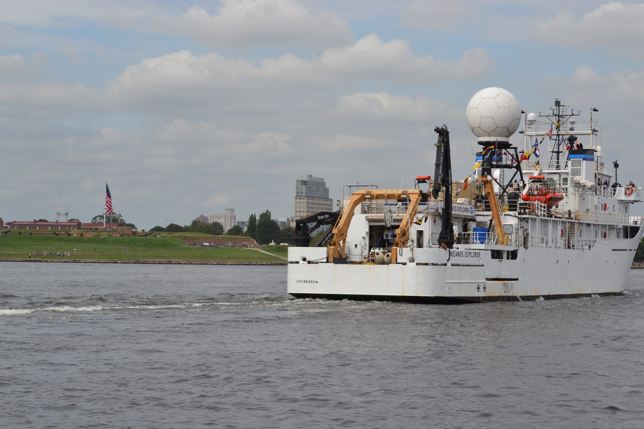
by Dawn Forsythe, Coast Survey communications
Remember when your mom told you, “The best things come in small packages”? It turns out that is true for more than diamonds, puppies, and kids who think they are too short.
Today it was my privilege to ride with the 57-foot Bay Hydro II, one of NOAA’s smallest research vessels, as she came into Baltimore Harbor for the Star Spangled Spectacular, a festival that celebrates the 200th anniversary of our National Anthem. As we sailed alongside the impressive NOAA Ship Okeanos Explorer, past historic Fort McHenry, a 19th century cannon boomed ‒ probably sounding much as it did 200 years ago during the War of 1812, when the British attack was turned back at Baltimore. With that historic reminder, I was struck by how the Bay Hydro II represents Coast Survey’s two-century commitment to the Chesapeake Bay, starting with our surveys in 1843.
Continue reading “A small hydro research vessel delivers big results”
Bathymetric AUV shows promise for NOAA surveying
In a step towards greater efficiency in NOAA’s hydrographic surveying, experts onboard the NOAA Ship Ferdinand R. Hassler just wrapped up the first extended testing of Coast Survey’s new bathymetric mapping autonomous underwater vehicle (AUV). From Sept 3 to 13, the vehicle completed ten missions lasting up to 16 hours during day and night, while the ship continued with its assigned hydrographic surveys in the approaches to Portsmouth, New Hampshire.
This AUV is equipped with high resolution seabed mapping equipment similar to the ship’s, including a high accuracy positioning system and multibeam echosounder capable of producing seamless maps of the seafloor.
Continue reading “Bathymetric AUV shows promise for NOAA surveying”