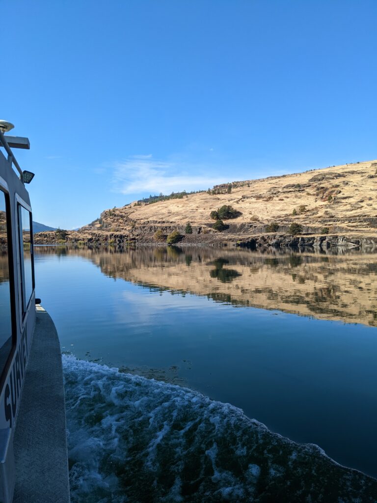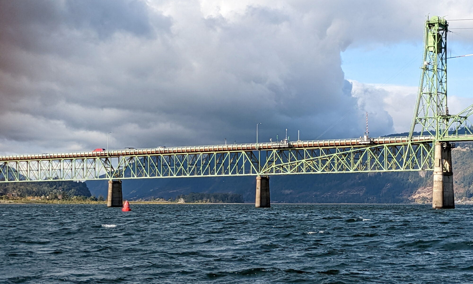
The Columbia River and its tributaries comprise one of the largest river systems in North America, flowing from British Columbia, Canada and through the United States to its final destination, the Pacific Ocean. The river is used extensively for transporting various cargoes into and out of the United States including forest products, grain, containerized cargo and bulk products like salt and cement. Upstream of Portland, barge and recreational traffic navigate the river to Kennewick, Washington or Lewiston, Idaho on the Snake River. For the people that use this river for its resources, this traffic almost assuredly has some type of ecological impact.
The ecological conditions of the Columbia River and its tributaries are constantly monitored by the region’s native people who have fished here for thousands of years as a central part of their culture. This monitoring is carried out by the Columbia River Intertribal Fish Commission (CRITFC), a coalition composed of the Confederated Tribes and Bands of the Yakama Nation, the Confederated Tribes of the Umatilla Indian Reservation, the Confederated Tribes of the Warm Springs Reservation of Oregon, and the Nez Perce Tribe.
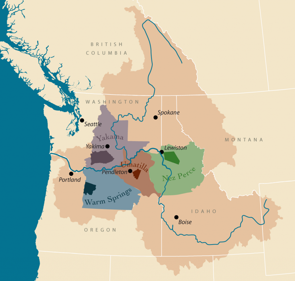
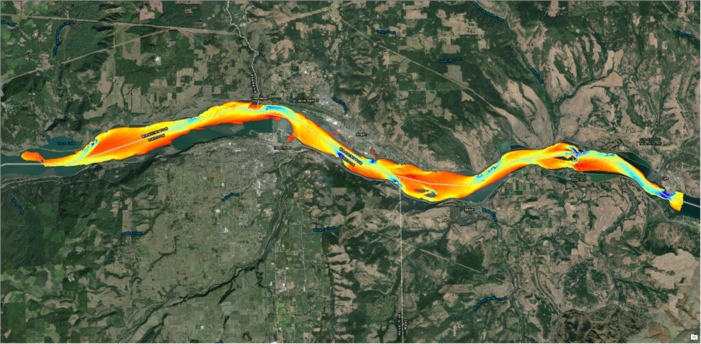
The monitoring area includes a 147-mile stretch between the Cascade Locks and The Dalles Dam where the tribes have exclusive commercial fishing rights. The majority of this area hasn’t been surveyed to modern standards since the 1950s. Having accurate survey data is important for the navigational safety of the commercial and sustenance fishing fleet of the tribes.
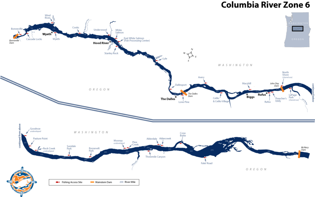
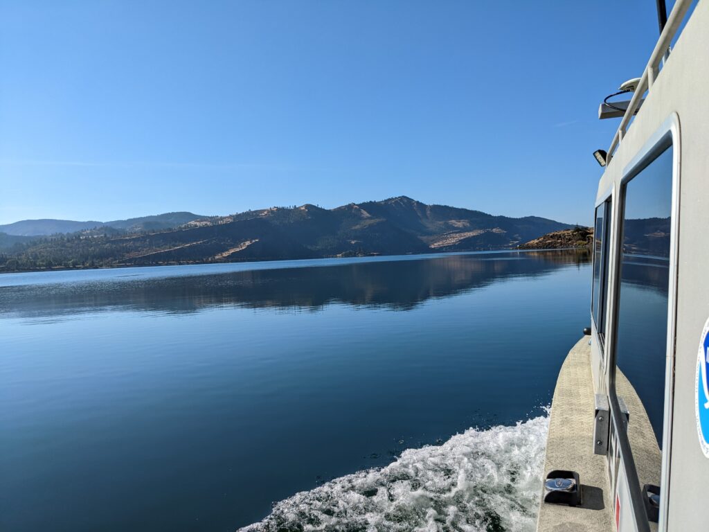
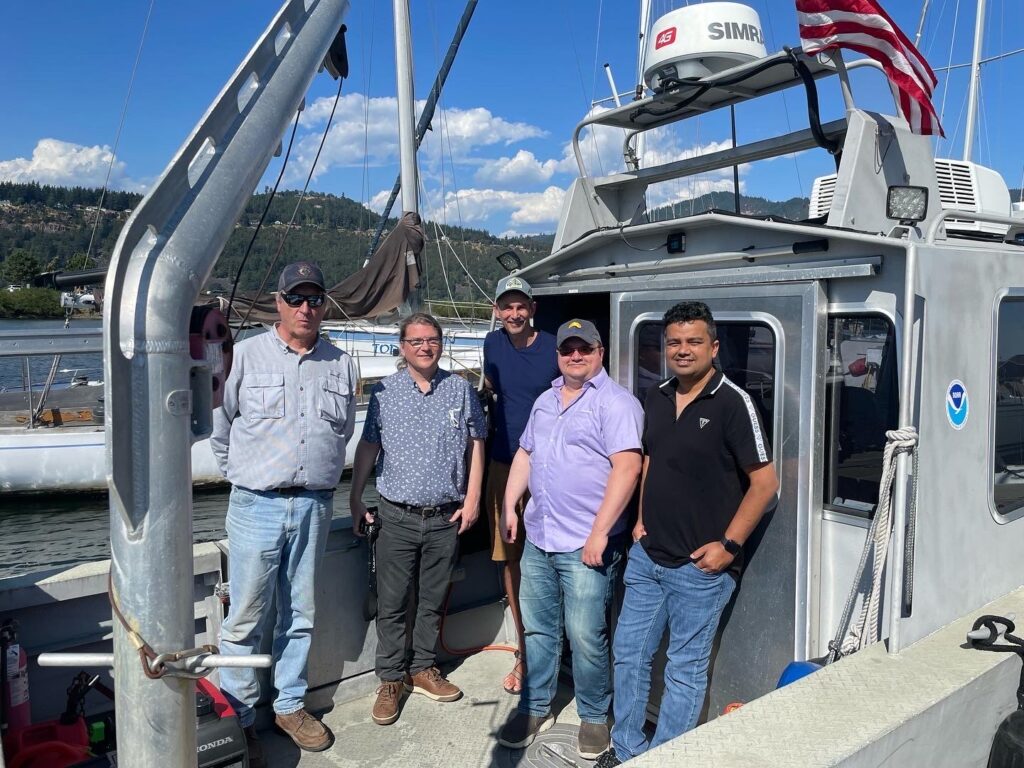
In August 2022, NOAA’s navigation response team based in Seattle, Washington responded to a survey request from the commission and charting authority of the Office of Coast Survey. The team arrived in Hood River, Oregon to begin surveying the Columbia River between the Cascade Locks and Dalles Dam. The response team mobile hydrographic survey platforms are typically operated by three people who transport the 30-foot survey vessel to any location and respond to urgent survey requests such as reopening a port following a major storm or locating wreckage after a maritime incident. While on this project, the team acquired data over a total area of approximately nine square nautical miles composed of 620 linear nautical miles of survey. This project included areas of high interest, where frequent or rapid sediment accumulation is known to occur, such as at tributary outflows.
During this survey period, the response team met and communicated with key commission members on the technology used to survey the river, the survey standards and how they serve the charting requirements, and timelines for when the data would become available.
The data will be used to serve local applications, such as identifying and mapping fish habitats, monitoring shoaling and sedimentation trends, and improving water flow models through the river and from tributaries. These efforts will aid the Columbia River Intertribal Fish Commission in managing the river’s fishery resource. The data will also be available to the public and will be used to update local nautical charts of the river.
The navigation response team was excited to partner with the Columbia River Intertribal Fish Commission on this project and for the opportunity to work on the Columbia River. The commission staff were equally excited to have access to this new data with modeling Program Coordinator Charles Seaton stating, “These new navigational charts will provide critical information to the tribal fishing fleets and enhance their safety, along with that of other Columbia River navigators.” With an additional 130 miles of river still to be surveyed, much work remains to be done on this crucial waterway.