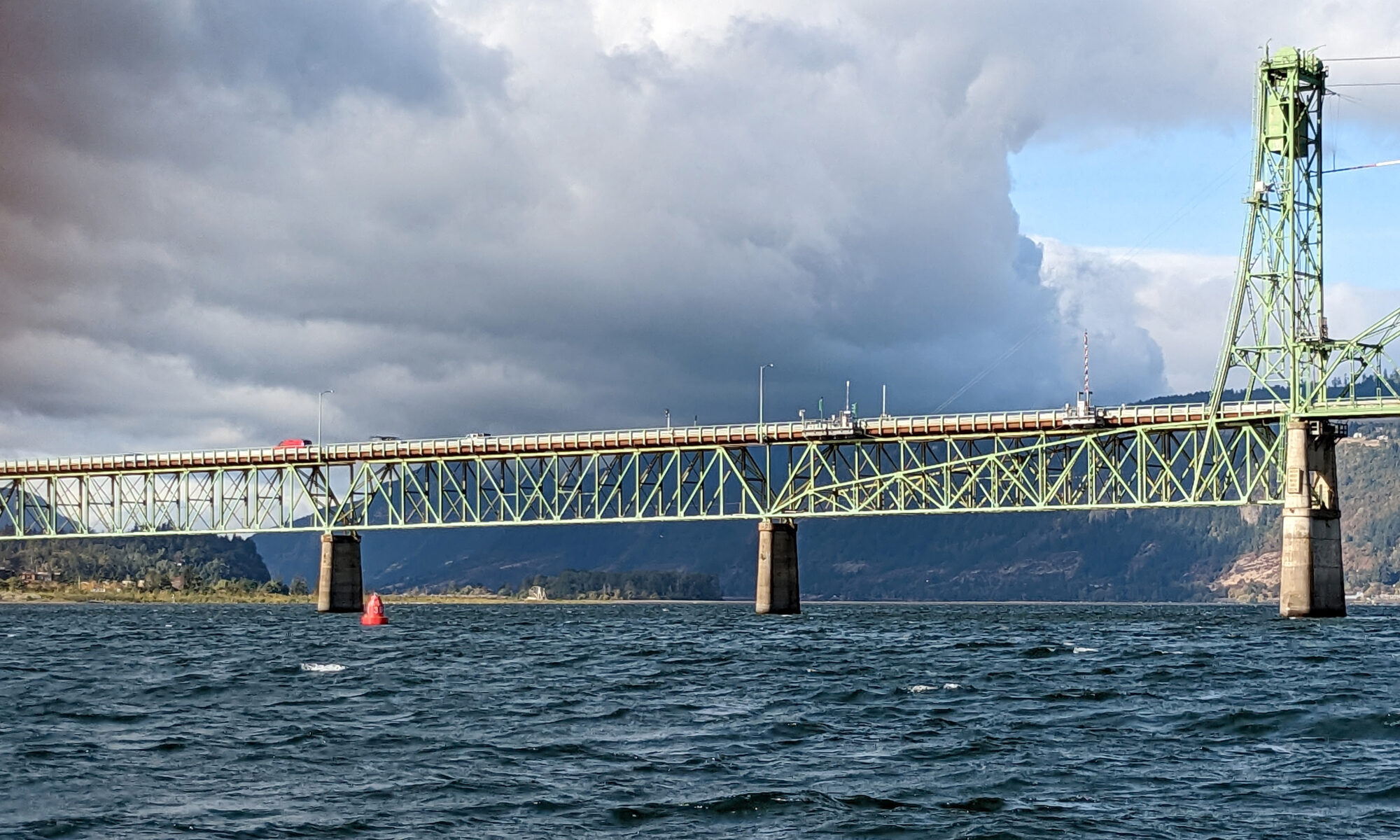
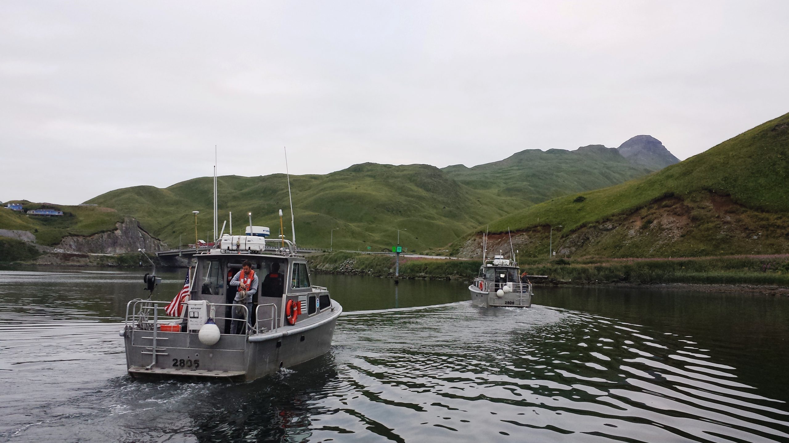
The Columbia River and its tributaries comprise one of the largest river systems in North America, flowing from British Columbia, Canada and through the United States to its final destination, the Pacific Ocean. The river is used extensively for transporting various cargoes into and out of the United States including forest products, grain, containerized cargo and bulk products like salt and cement. Upstream of Portland, barge and recreational traffic navigate the river to Kennewick, Washington or Lewiston, Idaho on the Snake River. For the people that use this river for its resources, this traffic almost assuredly has some type of ecological impact.
Continue reading “Supporting the mighty Columbia River through strong partnerships”NOAA Ship Fairweather begins multi-mission projects in Alaska
In a unique deployment of resources, last week NOAA Ship Fairweather split its scientific team and vessels to tackle two distinct projects in Alaska. Coast Survey physical scientist Katrina Wyllie and Lt.j.g. Bart Buesseler report on the multi-mission projects.
***
On August 9, NOAA Ship Fairweather departed Dutch Harbor, Alaska, for a FISHPAC project, led by Dr. Bob McConnaughey from NOAA’s Alaska Fisheries Science Center. This project’s primary mission is to statistically associate acoustic backscatter returns with the abundances of fish and crabs that frequent the Bering Sea seafloor. The science team accomplishes this with acoustic data from multibeam, single beam, and side scan sonars. Understanding the value of acoustic backscatter as a habitat-defining character will help scientists understand where fish live and the importance of different habitats. The acoustic data will also be used to correct for differences in the performance of research bottom trawls on different seafloor types, so that stock assessments and fishery management can be improved. To make sure the scientists understand what the acoustic data are showing, each day the ship will stop and collect physical bottom samples of the seafloor to see, touch, and interpret their findings. Further increasing the effectiveness of this mission, all of the multibeam bathymetry data acquired will directly support NOAA’s Office of Coast Survey as the data will be used to update soundings on the nautical charts for the eastern Bering Sea where the ship will be operating.
Continue reading “NOAA Ship Fairweather begins multi-mission projects in Alaska”
Combining expertise makes for better nautical charts and better understanding of fish habitats in Alaska
Today’s post is written by a guest blogger, Dr. Bob McConnaughey. Bob is the FISHPAC project chief scientist, with NOAA’s Alaska Fisheries Science Center.
Fishery biologists and hydrographers in NOAA are working together to solve two very important problems in the eastern Bering Sea. This area is one of the richest and most productive fishing grounds in the world. Careful management of harvest levels is one part of the effort to sustain these populations into the future. However, it is also important to understand the habitat requirements of the managed species so we can protect the foundation for these high levels of production.
To this end, a team of scientists at the Alaska Fisheries Science Center (AFSC) is developing mathematical models to explain the distribution and abundance of groundfish, such as pollock and cod, and benthic invertebrates, such as red king crab, in order to determine their essential habitats. The research team gathers new environmental data at locations where other AFSC scientists sample fish populations during annual bottom-trawl surveys. In many cases, existing habitat information is very limited, but studies will identify useful variables and the best tools for measuring them over large areas of the continental shelf. Continue reading “Combining expertise makes for better nautical charts and better understanding of fish habitats in Alaska”
Fairweather in the Arctic – Log Entries, August 2 and August 5
Before we get to the Fairweather logs, we need to update the last post, NOAA Ship Fairweather zigzags her way to accurate and precised depth soundings. Cmdr. Crocker reports that the “normal” zigzagging won’t start until they head further north, starting near Point Hope. It was not planned for the trip to Kotzebue, and he would have run a straight course if he could have. This log by Ensign Hadley Owen explains why they zigzagged earlier than planned, as well as what they are doing for their first scientific project. We apologize for the error in the last post. -DF
Fairweather Log Entries, August 2 and August 5
by Ensign Hadley Owen, NOAA, Junior Officer, NOAA Ship Fairweather (S-220)
Continue reading “Fairweather in the Arctic – Log Entries, August 2 and August 5”


