On February 14, 2023, NOAA’s Office of Coast Survey released NOAA Custom Chart version 2.0, a dynamic map application, which enables users to create their own paper and PDF nautical charts derived from the official NOAA electronic navigational chart (NOAA ENC®), NOAA’s premier nautical chart product.
Continue reading “NOAA Custom Chart version 2.0 now available to the public“Geospatial information in the Southwestern Pacific
By Dr. John Nyberg

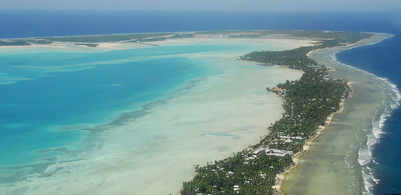
NOAA’s Office of Coast Survey Deputy Hydrographer Dr. John Nyberg participated in a State Department Science Fellowship through the U.S. Embassy in Suva, Fiji this past summer. The fellowship’s main goal for the region is to assist in accelerating the use of coastal and marine spatial planning for marine conservation and to deliver a curriculum to support it. Dr. Nyberg was asked to pay particular attention to engaging Kiribati (pronounced Kiribas), home to the Phoenix Islands Protected Area, one of the world’s largest and most important protected areas. The government of Kiribati is in the process of re-evaluating their approach toward managing the area, and one of the primary goals is to encourage the use of marine spatial planning in that process.


