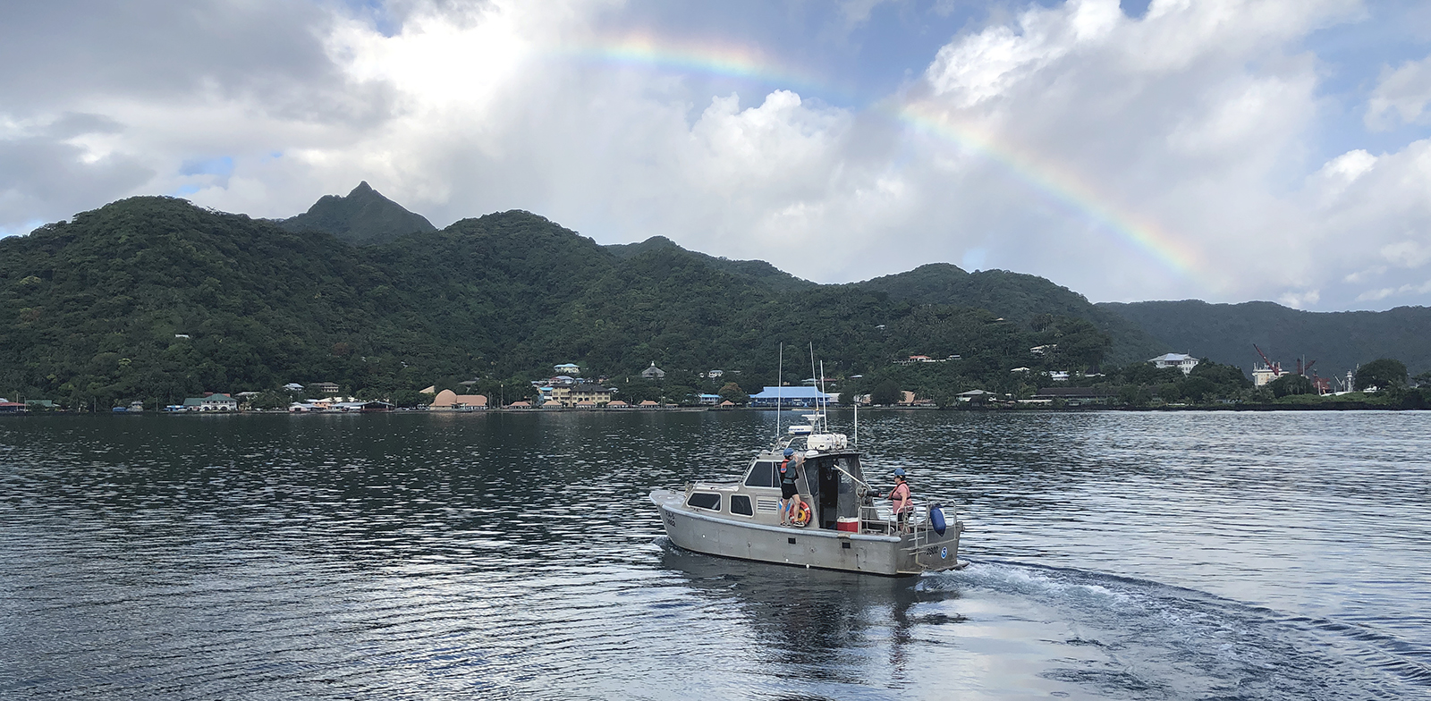
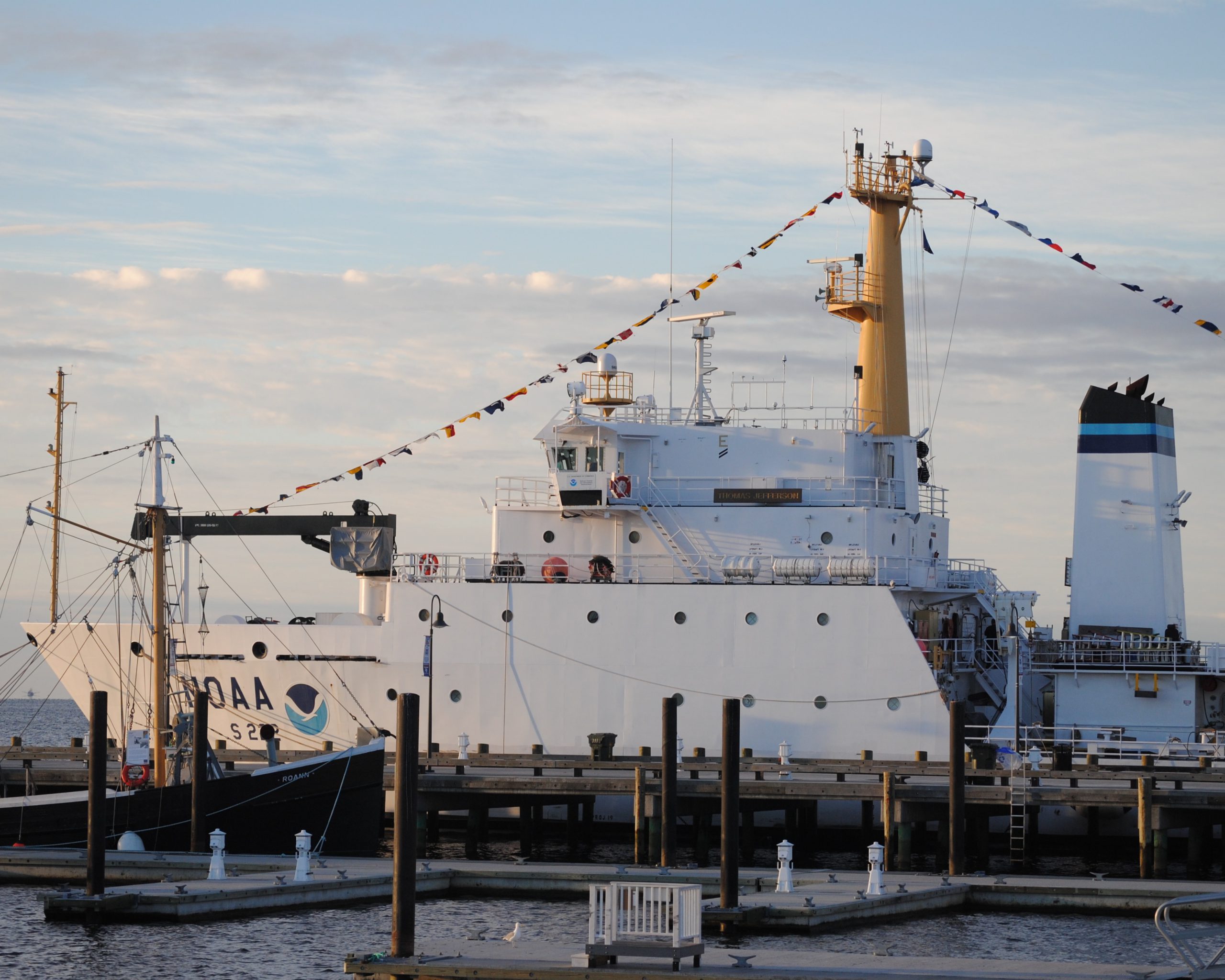
The winter months represent an end to NOAA’s active survey season. During this period, hydrographic survey ships, navigation response team survey vessels, and contractor teams and vessels undergo maintenance and repair in anticipation of the upcoming survey season. NOAA’s 2025 survey season will begin soon as planned survey projects go through the planning and development process and begin to filter to the forefront of each field party’s focus. The ships and survey vessels collect bathymetric data (i.e. map the seafloor) to support nautical charting, modeling, and research, but also collect other environmental data to support a variety of ecosystem sciences. NOAA considers hydrographic survey requests from stakeholders such as marine pilots, local port authorities, the Coast Guard, and the boating community, and also considers other hydrographic and NOAA science priorities in determining where to survey and when. Visit our “living” ArcGIS StoryMap to find out more about our mapping projects and if a hydrographic vessel will be in your area this year!
Continue reading “NOAA’s 2025 hydrographic survey season is gearing up and will be underway soon”Technical specifications for submitting hydrographic survey data get an overhaul
The Hydrographic Survey Specifications and Deliverables document contains the technical specifications for hydrographic survey data submitted to the Office of Coast Survey. It represents NOAA’s implementation of the International Hydrographic Organization standards for hydrographic survey and product specifications. Coast Survey is proud to announce the launch of the new Hydrographic Survey Specifications and Deliverables for 2024, the largest overhaul of the document in more than 20 years.
Continue reading “Technical specifications for submitting hydrographic survey data get an overhaul”NOAA’s 2024 hydrographic survey season is underway
The National Oceanic and Atmospheric Administration’s 2024 hydrographic survey season is ramping up and will be in full swing before too long. For the past few months, NOAA hydrographic survey ships, navigation response teams, and contractors have been diligently preparing for the upcoming field season. The ships and survey vessels collect bathymetric data to support nautical charting, modeling, and research, but also collect other environmental data to support a variety of ecosystem sciences. NOAA considers hydrographic survey requests from stakeholders such as marine pilots, local port authorities, the Coast Guard, and the boating community, and also considers other hydrographic and NOAA science priorities in determining where to survey and when. Visit our “living” ArcGIS StoryMap to find out more about our mapping projects and if a hydrographic vessel will be in your area this year!
Continue reading “NOAA’s 2024 hydrographic survey season is underway”NOAA’s updated hydrographic survey specifications now available for public comment
A draft of the new Hydrographic Survey Specifications and Deliverables document from NOAA’s Office of Coast Survey is now posted to the Federal Register, where it will be available for public comment until October 12, 2023. All interested parties are encouraged to review the draft and provide feedback via the instructions provided in the Federal Register Notice.
Continue reading “NOAA’s updated hydrographic survey specifications now available for public comment”Learning the ropes aboard a NOAA hydrographic survey vessel
By Natalie Cook
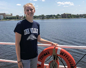
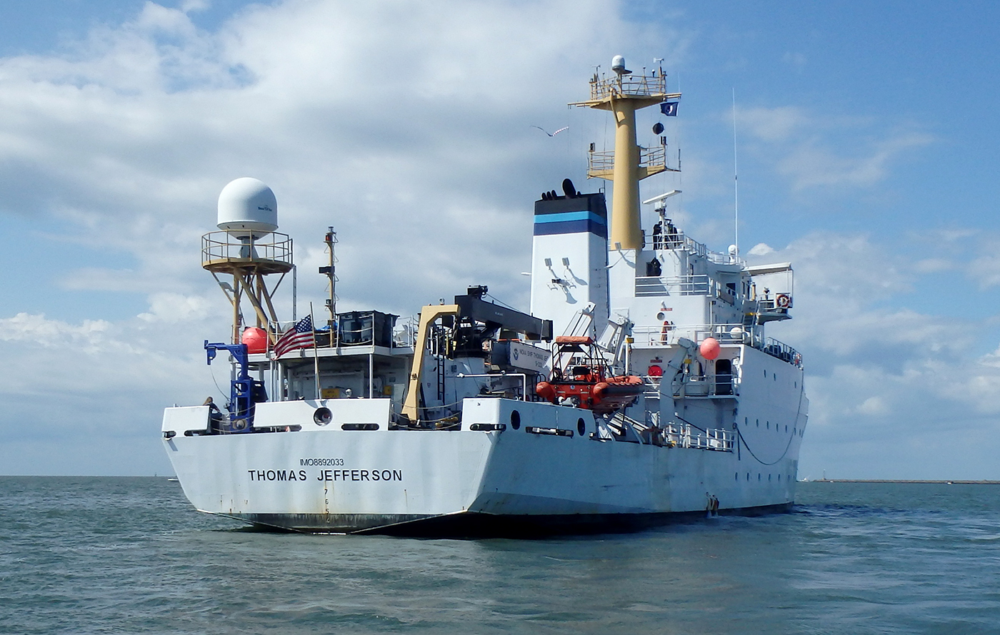
University of New Hampshire’s Center for Coastal and Ocean Mapping and NOAA are giving undergraduate students the opportunity to participate in seafloor mapping and associated exercises aboard a survey vessel this summer. Natalie Cook, a junior in the Ocean Engineering program, is spending eight weeks aboard NOAA Ship Thomas Jefferson, a 208-foot hydrographic survey vessel, experiencing all aspects of hydrography. Natalie is standing survey watch, processing data, working on survey launches, and serving as an active member of the hydrographic survey team.
Studying the use of satellite-derived bathymetry as a new survey tool
by Ensign Kaitlyn Seberger, onboard NOAA Ship Thomas Jefferson
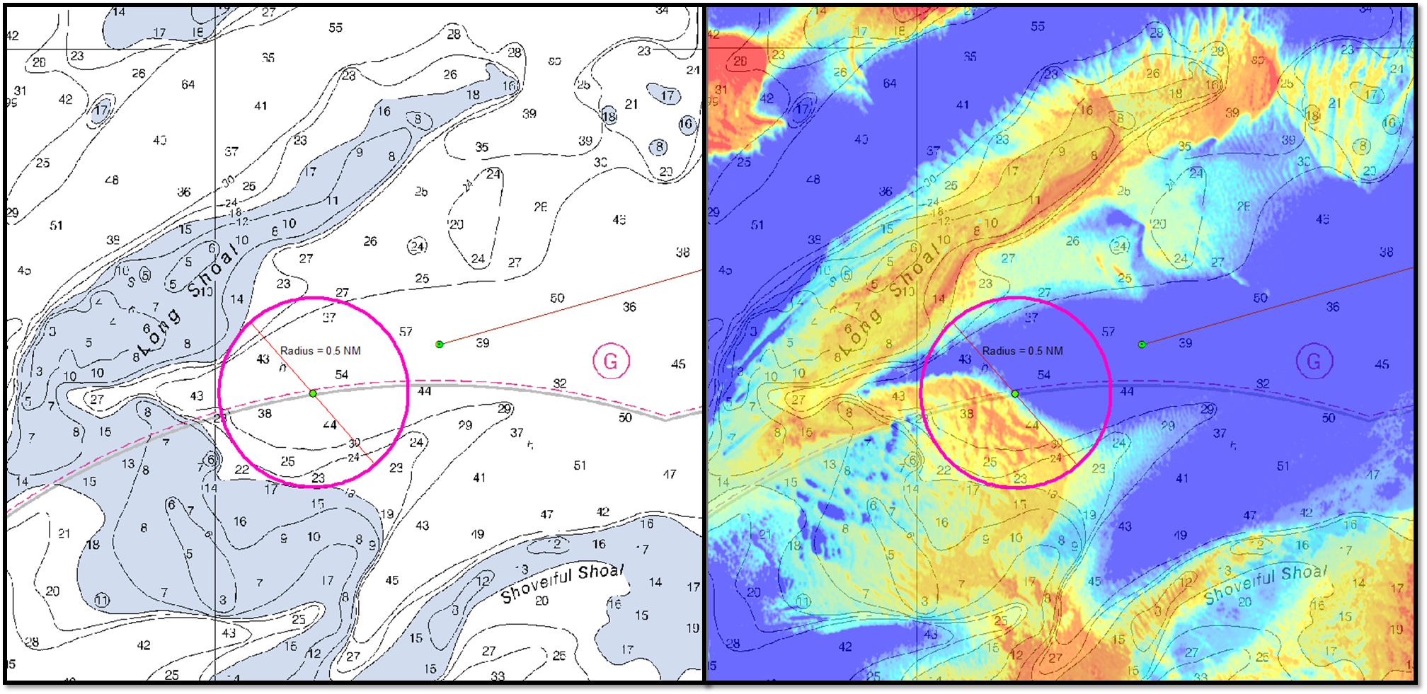
Nautical charts are an important tool in navigating safely in coastal waters, and Coast Survey’s mission is to keep these charts up to date. However, maintaining accurate charts can be a challenge in locations where sandy shoals may shift seasonally and present a danger to navigation. These areas differ from the current nautical charts, and bottom contours change so rapidly that it may seem an impossible task to keep up using the traditional survey methods. Office of Coast Survey and NOAA Ship Thomas Jefferson are seeking a solution to this ongoing problem and may have an answer with satellite-derived bathymetry.
Satellite-derived bathymetry (SDB) begins with using multi-spectral satellite imagery, obtained by satellites such as Landsat and WorldView2, which compares green and blue color bands.
Continue reading “Studying the use of satellite-derived bathymetry as a new survey tool”
New unmanned surface vehicles to deliver shoaler depth measurements for NOAA nautical charts
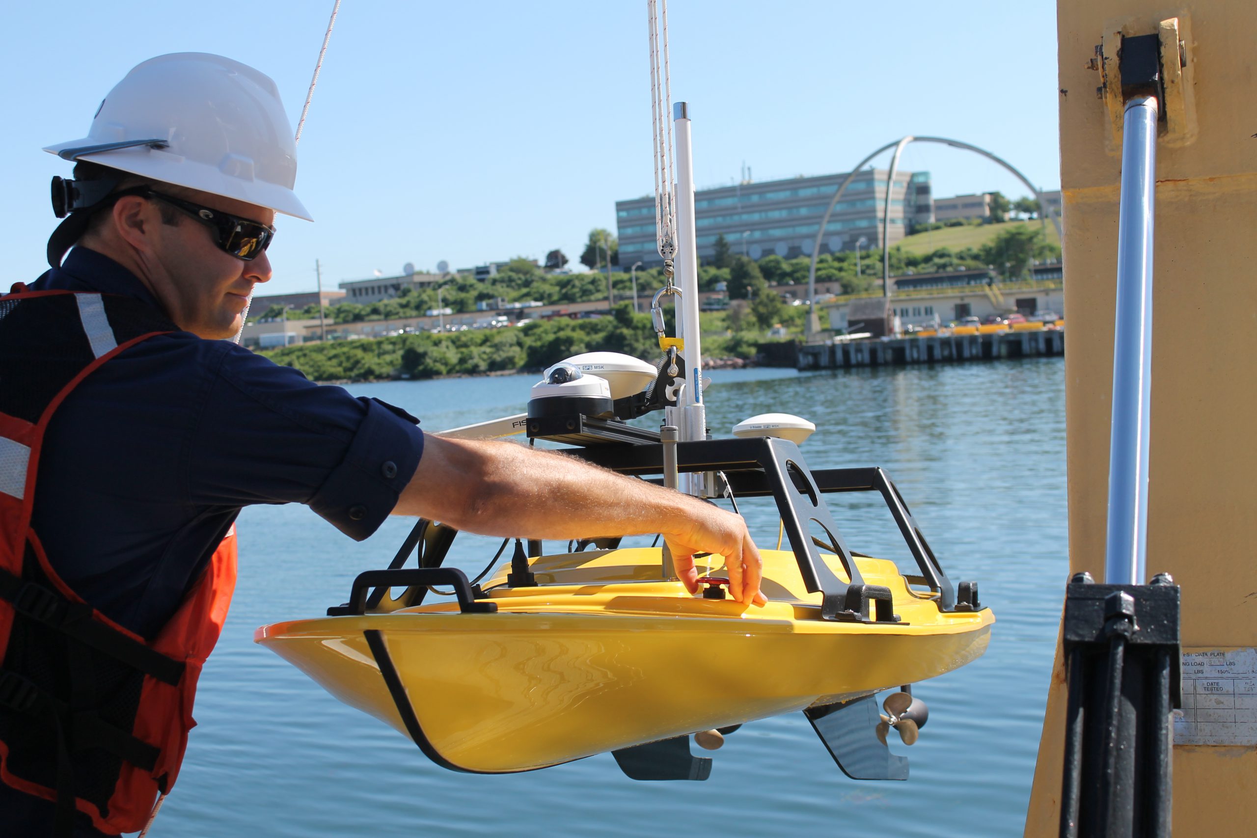
If you look closely at any U.S. coastal nautical chart, you’ll likely find that the areas closest to the shore, shoals, and rocks do not have updated depth measurements. In many areas, safety concerns prohibit the use of NOAA ships or launches to survey the shoalest depths. In many areas, the water is too murky to be mapped with the airborne lidar systems used in clear waters. Now, however, charting those shallow areas is about to get safer, thanks to recent purchases of small, commercial off-the-shelf, unmanned surface vehicles.
This summer, NOAA Ship Thomas Jefferson will deploy a “Z-Boat,” offered by Teledyne Oceanscience out of Carlsbad, California.
Continue reading “New unmanned surface vehicles to deliver shoaler depth measurements for NOAA nautical charts”
NOAA Ship Thomas Jefferson celebrates survey success with maritime community
by Ensign Diane Perry, onboard NOAA Ship Thomas Jefferson
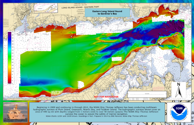
From 2005 through today, NOAA Ship Thomas Jefferson has been surveying Long Island Sound, one project area at a time. Some of the area was last surveyed between the late 1800s and 1939. For the 2014 field season, Thomas Jefferson was assigned her final Long Island Sound project, 89 square nautical miles of Eastern Long Island Sound, Fisher Island Sound, and Western Block Island Sound. When this project is complete, we will have resurveyed over 95% of Long Island Sound and all of Block Island Sound with modern survey technology that allows for a complete picture of the seafloor and highly accurate soundings.
Continue reading “NOAA Ship Thomas Jefferson celebrates survey success with maritime community”
NOAA Ship Thomas Jefferson prepared for 2013 survey season
By Ensign Brittany Anderson, Junior Officer, NOAA Ship Thomas Jefferson
After a quiet winter at home port, the NOAA Ship Thomas Jefferson completed her sea trials this week in preparation for the 2013 field season.
Each year, prior to departing for working grounds, the Thomas Jefferson transits to the Chesapeake Bay to perform tests on the ship’s and launches’ systems and hydrographic survey equipment. Crews conduct numerous tests to check the accuracy and precision of multibeam echosounders, side scan sonar, and the sophisticated suite of programs that process all the data. Additionally, this is an opportunity to ensure the safety of the vessel and her crew by performing numerous safety drills and readdressing safety standards and operating procedures.

Continue reading “NOAA Ship Thomas Jefferson prepared for 2013 survey season”


