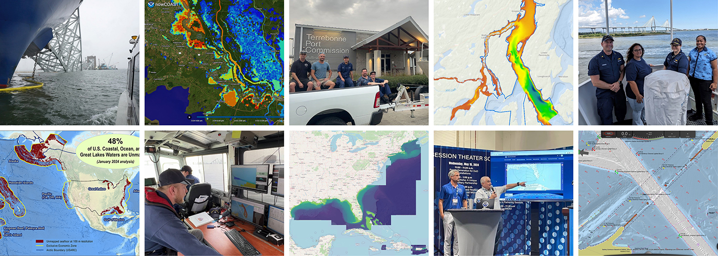
As we look ahead to continued progress in 2025, NOAA’s Office of Coast Survey is proud to share some highlights of the past year with you. We mounted successful emergency responses to reopen ports quickly and safely after hurricanes and a bridge collapse; completed a five-year process to transition to fully electronic navigational chart production; provided hands-on learning experiences for students aboard NOAA Ship Nancy Foster; and much more, all in service of delivering authoritative ocean and lakebed mapping information as the nation’s chartmaker.
Continue reading “Office of Coast Survey 2024 Year in Review”The Interagency Working Group on Ocean and Coastal Mapping announces the release of the Standard Ocean Mapping Protocol
The members of the federal Interagency Working Group on Ocean and Coastal Mapping (IWG-OCM) are thrilled to announce the release of the first Standard Ocean Mapping Protocol (SOMP)! The SOMP is a standardized technical protocol for acquisition, processing, and archiving of ocean and coastal mapping data. It was developed in support of National Strategy for Ocean Mapping, Exploring, and Characterizing the United States Exclusive Economic Zone (NOMEC) goals and is built from existing standards and best practices developed by the ocean and coastal mapping community.
Technical specifications for submitting hydrographic survey data get an overhaul
The Hydrographic Survey Specifications and Deliverables document contains the technical specifications for hydrographic survey data submitted to the Office of Coast Survey. It represents NOAA’s implementation of the International Hydrographic Organization standards for hydrographic survey and product specifications. Coast Survey is proud to announce the launch of the new Hydrographic Survey Specifications and Deliverables for 2024, the largest overhaul of the document in more than 20 years.
Continue reading “Technical specifications for submitting hydrographic survey data get an overhaul”A look back at 2023 and the Office of Coast Survey’s significant activities throughout the year
NOAA’s Office of Coast Survey is reflecting on a successful and remarkable 2023! We completed many significant activities with meaningful impacts. As we look ahead to more progress in 2024, we are proud to share some highlights of the past year in our Coast Survey Year in Review ArcGIS StoryMap.
Continue reading “A look back at 2023 and the Office of Coast Survey’s significant activities throughout the year”Historical Hydrography on the St. Mary’s River
By Riley O’Connor
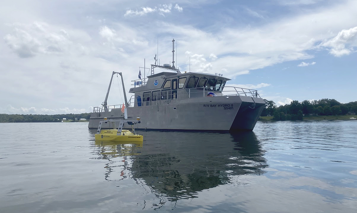
In November 1633, the Ark and the Dove set sail from the Isle of Wight—an island off the south coast of England—carrying English and Irish settlers bound for the new colony of Maryland. By January 1634, both vessels arrived at the Island of Barbados and began heading for the colony of Maryland. These settlers sailed into the Chesapeake Bay, the Potomac River, and eventually, the St. Mary’s River. They stopped roughly 12 miles (19 km) northwest from Point Lookout, where the Potomac River enters the Chesapeake Bay. This group of settlers would go on to found Maryland’s first European settlement and future provincial capital, St. Mary’s City.
Continue reading “Historical Hydrography on the St. Mary’s River”NOAA represented at the International Hydrographic Organization Assembly in Monaco
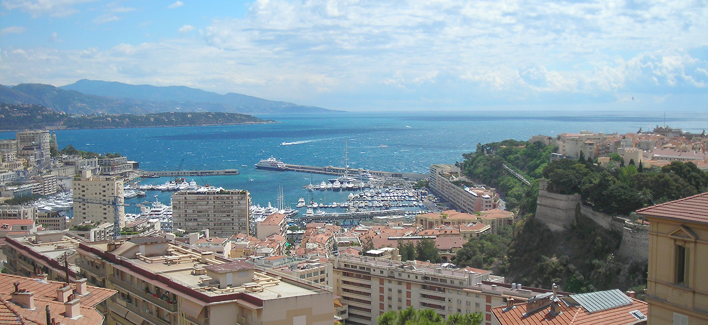
In early May, NOAA’s Office of Coast Survey Deputy Hydrographer John Nyberg, Ph.D., was elected as a director of the International Hydrographic Organization (IHO) during its Third Assembly. The six-year term begins in September and promises to be a critical time for the evolution of digital navigation infrastructure and capacity worldwide, with the implementation of the S-100 hydrographic model. John was nominated by the secretaries of commerce, defense, and state. His role will be to serve as part of the directing committee which is composed of a Secretary General and two directors to manage the day-to-day operations of the organization in order to advance the goals of the Member States.
Continue reading “NOAA represented at the International Hydrographic Organization Assembly in Monaco”
