
February 24, 2021
Hello Coast Survey,
Last week I had the honor of representing you at a few international and interagency meetings, and as usual, I was really proud of what you have accomplished in recent years, and the direction we are going. I was particularly struck by how much Coast Surveyors have contributed to an impressively active and forward-leaning period in international work.
I know that few of you follow this closely, and some don't see the direct link between these activities and the core work of Coast Survey, and mostly hear a bewildering alphabet soup of acronyms. I will leave them out of this summary.
- The navigation risk assessment we conducted for the Arctic laid the groundwork for hydro health, and has become a key talking point within the broader Arctic policy discussion. (M. Gonsalves, S. Greenaway, C. Allen)
- The standards we have designed and implemented not only for charting, but for a broad range of services, are the basis for the future of navigation, through our Precision Navigation program and similar services around the world. (J. Powell, R. Brennan)
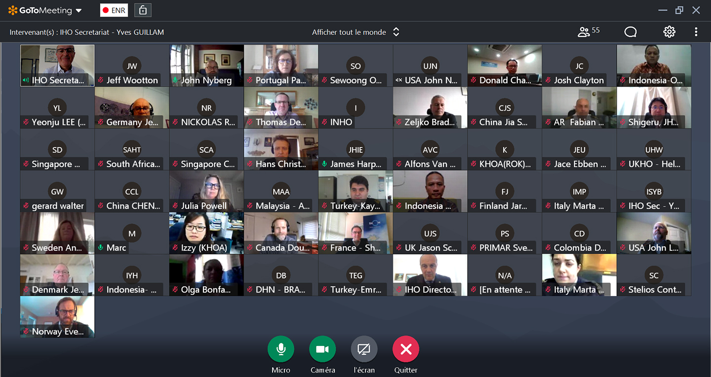
- The International Hydrographic Organization (IHO) stood up a new council to accelerate the pace of decisions and to modernize its strategic direction. Under NOAA leadership, the council developed a broad new strategic plan for the IHO that is also a blueprint for the world's hydrographic offices. This mirrors our own work to develop next generation navigation services, to make our data available and usable for other ocean and coastal stakeholders, and to engage more broadly in ocean policy, governance and science forums. (S. Smith, J. Justi, J. Nyberg)
- The regional hydrographic commission for the Caribbean region is leading the world in development of a regional roadmap for Seabed 2030, using our own programs as reference. (K. Ries, E. Frey, P. Pacheco, A. Maxwell)
- We have led the development of a global framework for service coordination and delivery for next generation navigation services. (J. Nyberg)
- We contributed to the rapid development and approval of the next generation of specifications for hydrographic surveys, which our own hydro specifications and deliverables reference. (M. Greenaway, N. Weston)
- While a global consensus has yet to develop, our own priority shift toward electronic navigational charts and away from paper has led to a global reckoning on the issue, and several large hydrographic offices are following our lead. The U.S. Defense community is building their transition under NOAA guidance and training in our offices.
- Our unique global chart distribution agreement not only increases the reach of our electronic navigational charts, but has also improved thier quality, and pays for two of our employees to conduct quality assessments. (J. Nyberg, S. Legeer, MCD)
- Coast Survey modeling goes global! With the launch of the Global Extratropical Storm Surge and Tide Operational Forecast System at the end of last year, we now have global modeling services for water levels and storm surge. This model is useful on both sides of the coast – for water levels in navigation and inundation on land. (G. Seroka, S. Pe’eri, N. Weston)
Director, Office of Coast Survey


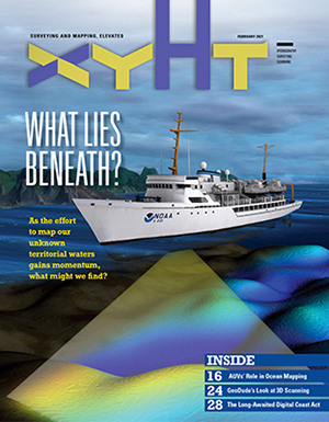
The February 2021 edition of xyHt Magazine features our very own CAPT Rick Brennan, director-select, NOAA's Office of Coast Survey. In the article, "All Hands on Deck" (page 10), Brennan stresses the importance of both coordination and modern technology as the key to mapping our nation's seafloor.
3/1 - Application deadline for the Coast Survey Marine Cartography Graduate Program
3/1-3/5 - Great Lakes Week
3/3 - Great Lakes Day
3/3-3/4 - Hydrographic Services Review Panel virtual public meeting, 12:45 p.m. - 5:30 p.m. EST
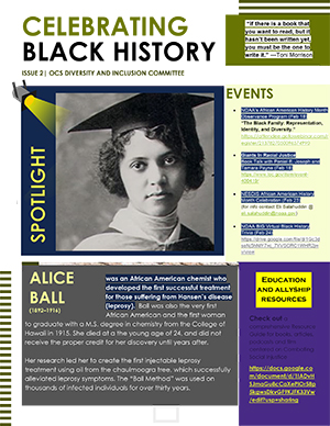
The OCS Diversity and Inclusion Committee introduces the new Spotlight series, where, during the month of February, you can find a short biography on an individual who has made waves through Black History. There are links to events happening to celebrate and educate our community on Black History as well. You will also find a link to a running document with reading, listening, and viewing resources on combating social injustices.
NOAA BIG virtual Black History Trivia.
Date: Wednesday, February 24, 2021
Time: 1:00 p.m. to 2:30 p.m. (EST)
To attend or participate email Neavaly.Touray@noaa.gov
Ring in upcoming Women's Month in March with Women's ERG Meet and Greet.
Date: Thursday, February 25, 2021
Time: 2:00 p.m. to 3:00 p.m. (EST)
Join with Google Meet.
Phone 617-675-4444
PIN 483 990 482 3473#
NOAA Pride February Virtual Happy Hour.
Date: Thursday, February 25, 2021
Time: 6:00 p.m. (EST)
Join with Google Meet.
Phone 240-257-2750
PIN 707 913 376#
For more information contact Kenneth.Walker@noaa.gov

