January 27, 2021
Hello Coast Survey,
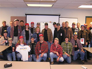
Last week we learned about the passing of our beloved colleague, Kenny O’Dell. Kenny’s tenure in Coast Survey goes back to 1981 when he worked as a cartographic technician in high school. He most recently worked in the Marine Chart Division’s Product Branch D. Kenny is remembered for his steadfast work ethic, immense cartographic knowledge, kindness to his colleagues, and signature style with his plaid flannel shirts and caps. Kenny will be greatly missed.
The second quarter of our fiscal year marks a significant time of transition for the Office of Coast Survey. Not only is our nation transitioning to a new administration, our office is transitioning leadership as well. Over the next month I will be working with Capt. Rick Brennan, our director select, while he shadows many of my responsibilities. I will also be taking some intermittent time off on a weekly basis as indicated on my calendar.
Thanks to Ryan Wartick for handling communications with the Coast Guard, to the Hydrographic Surveys Division and navigation response teams for their early planning efforts, to Lori Powdrell and Chris Libeau of the Nautical Data Branch for prioritizing release of USACE data, and to Thad Ellerbe and Brian Martinez from Product Branch E for applying and publishing updates ahead of the inauguration. For more information contact Daniel.Morrow@noaa.gov.
Thank you to Chris Hare for serving as acting chief of NRB these past few months!
2/15 - President's Day
3/3-3/4 - Hydrographic Services Review Panel virtual public meeting, 12:45 p.m. - 5:30 p.m. EST

