hosted its biannual meeting via webinar. NOAA Administrator Dr. Neil Jacobs, and National Ocean Service Assistant Administrator (acting) Nicole LeBeouf, and the navigation services office directors provided information on the Presidential Memorandum on Ocean Mapping of the United States Exclusive Economic Zone and the Shoreline and Nearshore of Alaska, operational impacts of COVID-19, and updates including modernization of the National Spatial Reference System, expansion of the Physical Oceanographic Real Time System (PORTS®), the rescheming of NOAA electronic navigational charts (NOAA ENC®), and the five-year plan for sunsetting of traditional NOAA paper charts. We look forward to seeing everyone in person for the Hawaii meeting in September. For more information contact
Staff Updates

PS Clint Marcus
Physical Scientist
Clint Marcus, from the Atlantic Hydrographic Branch (AHB) was recently selected for the University of New Hampshire Ocean Mapping graduate program for the 2020-2021 academic year. This program provides a Coast Survey employee the opportunity to expand their skills in hydrographic and ocean mapping expertise. Congratulations Clint!
The Hydrographic Surveys Division (HSD) would like to welcome two new people to the Operations Branch!
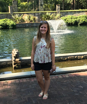
Angelina Ponella
Angelina Ponella transitioned from a contract position to a federal position in HSD’s Operations Branch. Previously, Angie worked as an ERT contractor at AHB for a year and a half, primarily focusing on survey acceptance reviews, GeoPDF creation, and backscatter processing. She received her bachelor's degree in biology from the College of Charleston with minors in math and geology and participated in the Benthic Acoustic Mapping and Survey (BEAMS) Program. In her spare time, she enjoys hiking, spending time outdoors, painting, and traveling.

Surafel Abebe
HSD also welcomes
Surafel Abebe to the Operations Branch. Surafel received a bachelor’s degree in geography from Alemaya University, Ethiopia, and then a double master’s degree in environmental science and environmental engineering from Addis Ababa University, Ethiopia, and Technical University of Hamburg-Harburg (TUHH), Germany, respectively. As part of post graduate thesis work, he worked in modelling climate change impact on coastal environment using Intergovernmental Panel on Climate Change (IPCC) scenarios. Surafel worked at the Center for Operational Oceanographic Product and Services (CO-OPS) for more than four years as a data specialist as a Lynker Technology and ARTI contract employee. Before federal contract work, he also worked as a GIS analyst for the Center for Advanced Transportation Technology Laboratory at College park, University of Maryland. In his free time, Surafel likes to work out at the gym. Swimming is his favorite sport and he also plays and watches soccer over the weekend.
The Coast Survey Development Lab (CSDL) welcomes
Scott Sherman and
Tara Wallace into new roles and thanks
Thanh Pham who stepped in as acting chief for the Information Technology Services Branch (ITSB) for the past eighteen months!

Scott Sherman
On April 13, 2020, Scott Sherman assumed the role of acting chief for ITSB in CSDL. Previously, Scott served as the Coast Survey project portfolio manager and is currently helping to coordinate Coast Survey cloud migration efforts and the data center move to Ashburn.
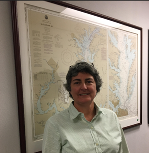
Tara Wallace
On May 15, 2020, Tara Wallace will assume the role of acting deputy chief for CSDL for four months. Tara comes to CSDL from the Marine Chart Division where she serves as the chief of the Nautical Data Branch.
Opportunities
Coast Survey is seeking a qualified candidate to fill a temporary detail opportunity as the supervisory administrative officer (Resource Management Staff chief/business manager), ZA-0341-05. This is a critical position that sits on the Coast Survey Executive Leadership Board (senior management team) and thus is responsible for helping set the overall strategic direction of Coast Survey business services. This position is located in Silver Spring, Maryland, and reports directly to the Coast Survey deputy director. The detail would be for a duration of 120 days with a start date in mid-May or early June. Please send a resume and statement of interest to Kathryn Ries, Coast Survey deputy director, by no later than
May 1, 2020 at
OCS.Detail@noaa.gov.

Left to Right: Ash, Pacha, Freya, and Lucky are thrilled to finally be part of the Coast Survey team.