September 2, 2020
Hi everyone,
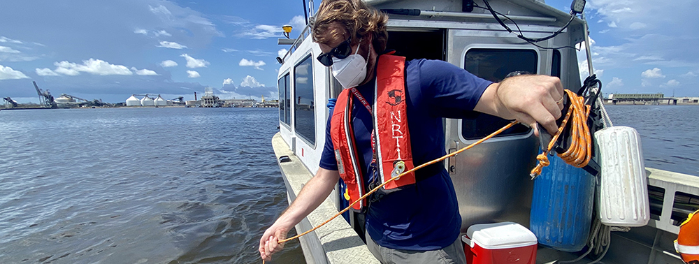
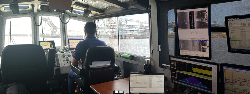
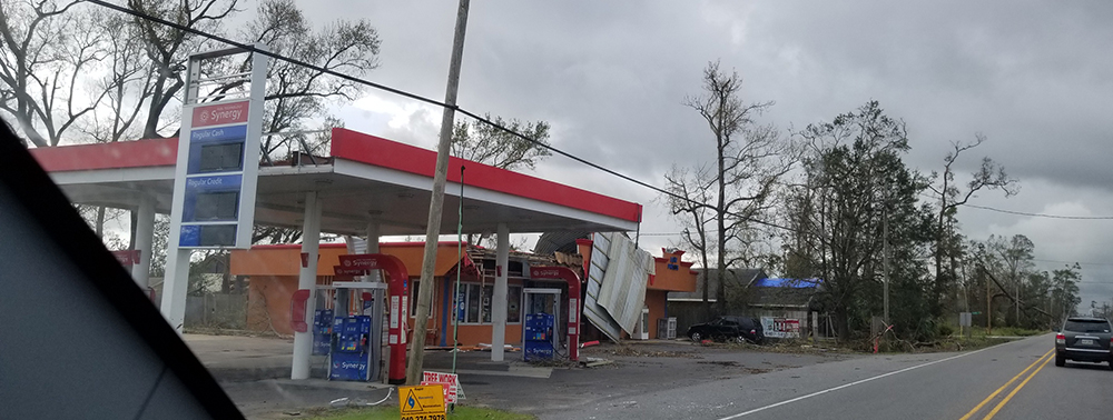
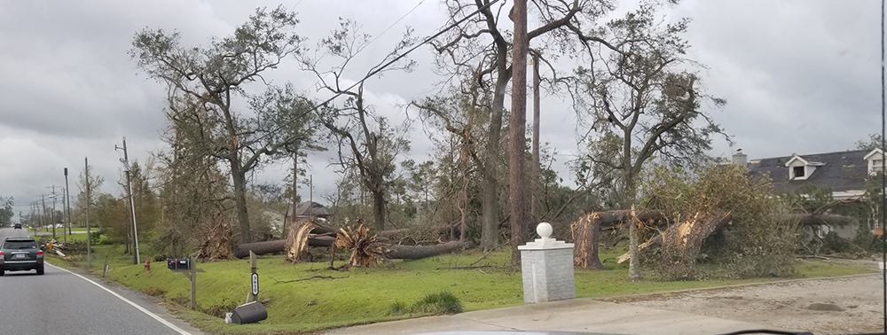
This week marked our first survey response effort of the hurricane season. Hurricane Laura made landfall over Louisiana in the early morning hours of Thursday, August 27, as a Category 4 storm. Although each storm is different with unique challenges, our navigation managers, response teams, and HQ personnel are well versed in planning for and responding to these storms. What makes this season different, however, is accounting for COVID-19 and ensuring our team members are safe in this regard.
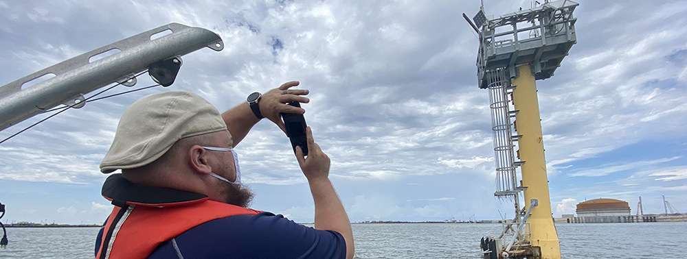
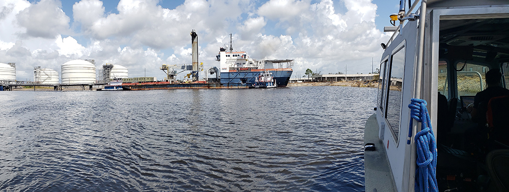
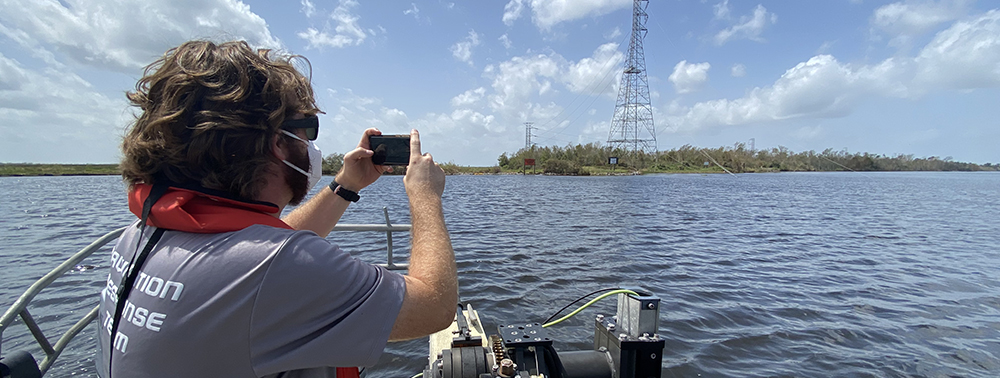
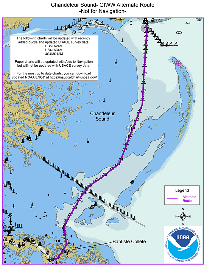
We received requests from the U.S. Coast Guard (USCG) and U.S. Army Corps of Engineers (USACE) to survey in several areas including Galveston Bay, Calcasieu Ship Channel, and the Gulf Intracoastal Waterway near the Louisiana-Texas border. The combined efforts of NRT-Galveston, NRT-Stennis, NRT-Fernandina Beach, and our hydrographic survey contractor David Evans and Associates have resulted in efficient surveys and timely deliverables to our partners. They even had the opportunity to check in on some CO-OPS assets.
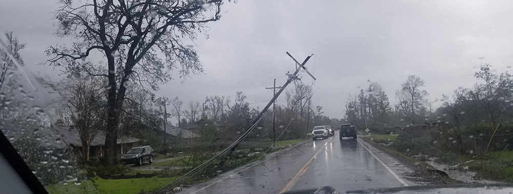
Thank you to our headquarters team, Cmdr. Jay Lomnicky, Mike Annis, Mike Davidson, and Chris Hare for providing coordination support. And thank you to our navigation managers, Quentin Stubbs, PhD and Tim Osborn, and our navigation response team members - Lt. John Kidd, Josh Bergeron, Alex Ligon, Dan Jacobs, Lt. j.g. Collin Walker, James Kirkpatrick, Howie Meyers and Justin Collett - for being our boots on the ground, sawing through felled trees, avoiding downed power lines, and driving for hours to reach gasoline and lodging...all to help keep our waterways safe and commerce moving in and out of our nation’s ports. Additionally, I would like to recognize the Hydrographic Surveys Division Operations Branch. Martha Herzog, Christy Fandel, Alex Dawson, Dan Garatea and Nicole Lawson (Aquisition and Grants Office) worked through the weekend to quickly initiate negotiations and put in place project instructions for David Evans and Associates.
Lastly, this was the first response oversight by new Navigation Services Division Chief, Julia Powell. Congratulations on a great start, Julia.
Bravo Zulu,
Shep
Director, Office of Coast Survey

The front office thanks both Terence Lynch and Lorraine Robidoux for serving as acting business manager over the past several months. Their commitment to this position and Coast Survey is truly appreciated.
MCD would like to welcome Delmy Pinto, the new administrative support specialist. She will be assisting in different office administrative duties, travel, and special projects. Delmy has been with NOAA for going on five years now (previously with OAR) and she loves this environment. She strives to assist others, and if she doesn’t know the answer to a question, she just has to find out! Delmy comes to MCD with eight years of teaching background, with her main focus on pre-school and elementary age children. Now with a two year old daughter at home, she doesn’t get much "free" time, but when she does Delmy usually loves dancing.
9/7- Labor Day Holiday
9/23 and 9/24 - HSRP Public Meeting
9/30 and 10/1 - Precision Marine Navigation Industry Workshop
10/6 and 10/7 - Standard Ocean Mapping Protocol Symposium
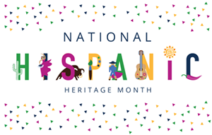
September 15 - October 15 is National Hispanic Heritage Month
Hispanic Heritage Month recognizes and celebrates the contributions Americans tracing their roots to Spain, Mexico, Central America, South American and the Spanish-speaking nations of the Caribbean have made to American society and culture.
Did you know? The Hispanic population of the United States as of July 1, 2019, is 60.6 million, making people of Hispanic origin the nation’s largest ethnic or racial minority. Hispanics constituted 18.5% of the nation’s total population. Learn more about National Hispanic Heritage Month.
NOAA's Diversity and Inclusion Strategic Plan (FY2020-FY2024) has been released. In addition to this strategic plan, NOAA is currently developing a D&I Action Plan by the end of September.
Coast Survey Summer/Fall Diversity and Inclusion Training Sheet

