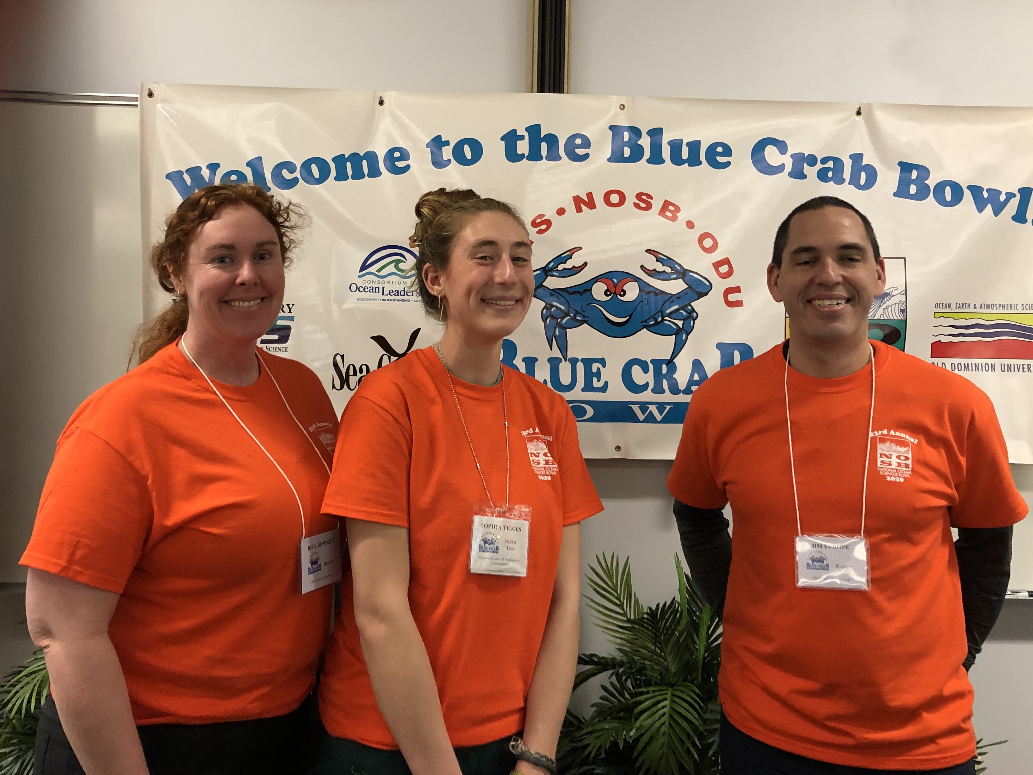
Coast Survey participates in the Blue Crab Bowl

PS Rita Bowker, HAST Sophia Tigges, and Lt. Jim Europe
ready to welcome the students.
Personnel from the Atlantic Hydrographic Branch (AHB), NOAA Ship
Thomas Jefferson (
TJ), and Marine Operations Center-Atlantic (MOC-A) supported Old Dominion University’s 19th annual
Blue Crab Bowl in Norfolk, Virginia. The NOAA team hosted 80 high school students from 15 schools around the Commonwealth for a tour of the NOAA facility on February 7. Activities continued on Saturday, February 8, with a round robin, double-elimination style tournament to determine Virginia’s representation at the
National Ocean Science Bowl. Thank you to
PS Rita Bowker (AHB),
PS Julia Wallace (AHB),
Ens. Taylor Krabiel (Hydrographic Systems and Techology Branch),
HAST Sophia Tigges (
TJ), and
Lt. Jim Europe (MOC-A). For more information contact Lt. Jim Europe at
James.R.Europe@noaa.gov.
Coast Survey's Marine Cartography Graduate Program students explore the Library of Congress Geography and Map Division
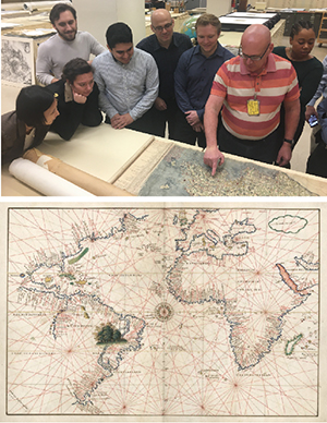
Top image: Students in Coast Survey's Marine Cartography
Graduate Program tour the Library of Congress Geography
and Map Division. Bottom image: One of the maps
found the in 1544 Portolan atlas.
Little do most people know that in the basement of the Library of Congress lies a treasure trove of historic maps and charts, the largest and most comprehensive cartographic collection in the world. Last week, students in Coast Survey's Marine Cartography Graduate Program toured the
Library of Congress Geography and Map Division to learn about these collections. Some of the items on display included the
1941 Japanese Pearl Harbor Damage Assessment Map and the
1544 Portolan atlas of nine charts and a world map. In total, the collection includes more than 5.2 million maps, including 80,000 atlases, 25,000 geospatial datasets, 6,000 reference works, including numerous globes and three-dimensional plastic relief models, and cartographic materials in other formats. For more information contact
Colby.Harmon@noaa.gov.
Boating community engaged on the raster sunset and NOAA Custom Chart tool
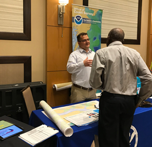
Kyle Ward discusses raster sunset efforts with a boater from
the U.S. Virgin Islands.
During the week of February 12,
Kyle Ward (Southeast navigation manager) attended the United States Power Squadrons (USPS) Annual meeting in Ponte Vedra, Florida. The USPS, also known as
Americas Boating Club, brings all types of boaters together to promote education, safety, and simply as an opportunity to meet other boaters. There were hundreds of attendees from all over the U.S and its territories. It was a great opportunity to inform this community about the
raster sunset effort and introduce them to the
NOAA Custom Chart tool. For more information contact
Kyle.Ward@noaa.gov
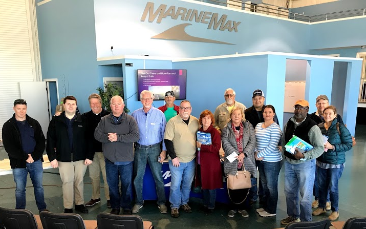
Navigation manager connects with commercial and recreational boating community
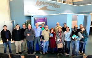
Tim Osborn at the Marine Max Marina seminar
On February 10 and 11, Central Gulf of Mexico Navigation Manager
Tim Osborn attended the Mississippi Valley Trade and Transport Conference in New Orleans, Louisiana, where he participated on a panel discussion about charting and navigation issues. The conference promotes commerce and cargo shipping throughout the Mississippi River system by bringing together the broad spectrum of river users, including those that are involved in the production, consumption, handling, sales and distribution of millions of tons of commerce including aggregates, cement, coal, coke, fertilizers, grain, liquid bulk, industrial minerals, raw materials, iron and steel commodities and general cargo.
Tim then travelled to Panama City, Florida, and teamed up with National Weather Service, Weather Forecast Office- Tallahassee to present at an annual seminar on "Coastal Waters, Weather and Navigation" for recreational boaters and fishermen at the Marine Max marina. While in Panama City, Tim met with stakeholders from the Port of Panama City, the Panama City Pilots, and Tyndall Air Force Base, where he fielded requests for updates to the nautical chart and
Coast Pilot®. For more information contact
Tim.Osborn@noaa.gov.
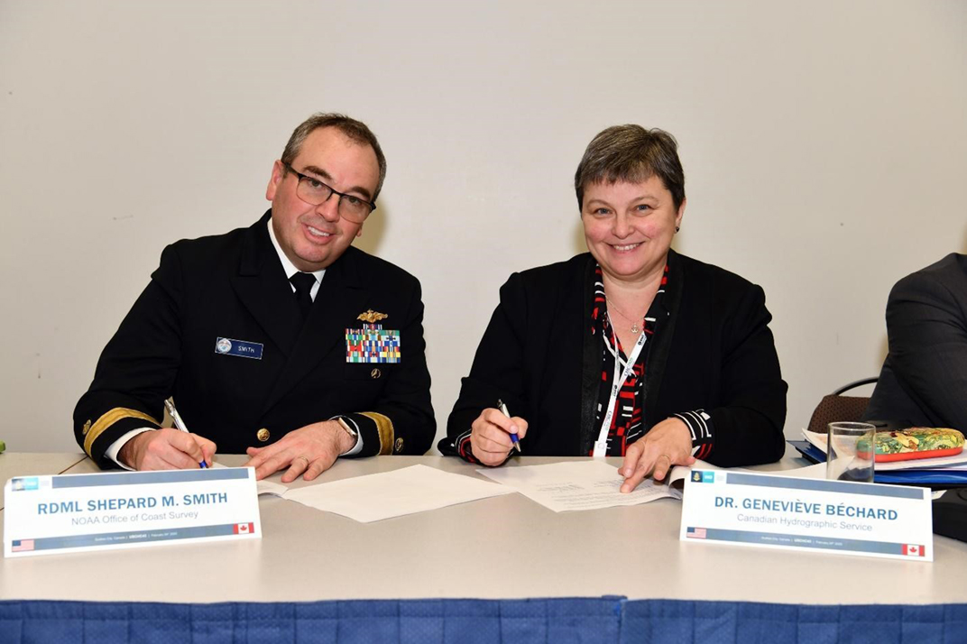
U.S.- Canada Hydrographic Committee identifies areas for bi-national collaboration

Rear Adm. Smith with co-chair Dr. Béchard
On February 24, more than 30 hydrographic scientists and managers met to convene the 43rd U.S.-Canada Hydrographic Committee (USCHC). The USCHC is one of 15 Regional Hydrographic Commissions composed of hydrographic offices who are members of the International Hydrographic Organization (IHO).
Rear Adm. Smith and Dr. Béchard of the Canadian Hydrographic Service, co-chaired the meeting. The commission identified several collaborative efforts with which the two nations are involved, such as sharing of data for improving nautical charts and personnel exchanges for hydrographic surveys and other operational activities. Both countries are actively testing new survey platforms and sharing of reports of success, lessons learned, and progress made. Specifically, the U.S. and Canadian signed an agreement for the collection and sharing of coastline data for the improvement of nautical charts in and around Detroit, Michigan and Windsor, Ontario. The commission tasked itself to develop a vision for the upcoming decade oriented around a tentative theme of providing the user a seamless experience navigating or utilizing maritime data in transboundary areas. For more information contact
Jonathan.Jussti@noaa.gov.
Coast Survey attends a NOAA prepardness workshop
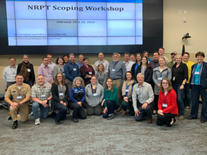
Workshop participants.
During the week of February 17,
Kyle Ward represented Coast Survey's Navigation Services Division (NSD) leadership at the NOAA Regional Preparedness and Training scoping workshop held at the
Disaster Response Center in Mobile, Alabama. The purpose of this workshop was to bring a broad group of NOAA employees together to scope out gaps in NOAA preparedness and identity training to meet those needs. The three main topics covered at the workshp were: Managing Long-term Response and Recovery, Managing Communications, and Improving Coordination.The Disaster Preparedness Program in the Office of Response and Restoration hosted the workshop, and the University of New Hampshire Coastal Response Research Center facilitated the meeting. All the materials from this workshop can be found at the
event webpage. For more information contact
Kyle.Ward@noaa.gov

Staff Updates

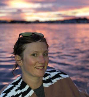
Amber Butler
Amber Dawn Butler joined the Interagency Working Group - Ocean and Coastal Mapping (IWG-OCM) as the executive secretariat. She loves warm weather and was thrilled to find out that her first project was on the coldest state in the country, Alaska. She lived in Miami for her undergraduate and graduate studies in marine affairs & policy/aquaculture at the University of Miami. She won the title of Miss Florida and the national interview award after informing the judges she was the only contestant that smelled like fish every day of her graduate work. Her hobbies include comedy, golf, her Responsible & Educated Drivers program, covering her car in fish decals, and taking care of her mangrove tree and two sugar gliders.
Hilina Tarekegn
Hilina Tarekegn recently joined the Hydrographic Survey Division as a contractor from Lynker Technologies. She is working as a software developer for the Operations Branch. She graduated with her master's degree in GIS from the University of Maryland in 2019 while working for NOAA's Remote Sensing Division as an ERT contractor, mainly tasked with reviewing lidar data and compiling shoreline. Hilina is a Silver Spring native that enjoys outdoor activities, traveling, and spending time with family and friends.
Annie Raymond
NSD welcomes
Annie Raymond to the navigation response team in Seattle. Annie started with Coast Survey as an ECO intern with the Coast Survey Development Lab (CSDL) back in 2001 after graduating with a degree in geography from Western Washington University. Since then, she has worked as a cartographer in the Marine Chart Division, and a physical scientist at both HSD in Silver Spring and the Pacific Hydrographic Branch in Seattle where she's been since 2007. In her new role, Annie is looking forward to spending more time in the field mapping and learning the waters of the Pacific Northwest, building relationships with our customers and stakeholders, and promoting our world-class navigation services and products. In her spare time, she enjoys spending time outdoors hiking, biking and boating.
Opportunities
Navigation Services Division extended the deadline for applications for the acting Mid-Atlantic Navigation Manager detail. This six-month position is located in either Norfolk, Virginia, or Silver Spring, Maryland, and will start near the end of March 2020. The announcement is open until COB on March 6, 2020. If you have any questions, please email Lucy.Hick@noaa.gov, chief, Customer Affairs Branch.
CSDL is pleased to announce that the IT Branch chief position is posted to USA Jobs and will remain open until March 16, 2020. This vacancy is being advertised as both a MAP and DE and can be found here:
(MAP) NOS-OCS-2020-0007
(DE) NOS-OCS-2020-0008
.