New exhibit highlights National Weather Service support of 1980 Winter Olympic Games
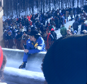
Meteorologist Jack May taking the ice temperature of the
bobsled/luge track prior to the start of competition.
On December 18th, as part of the 40th anniversary of the XIII Olympic Winter Games in 1980, the Lake Placid Olympic Museum launched the exhibit,
Foretelling the Future – The National Weather Service at the 1980 Olympic Winter Games. From their small forecast office in the Olympic arena, the National Weather Services Olympic Support Unit with meteorologists Jack May, Steve Harned, Gordon Tait, Doc Taylor, and intern
John Kelley, took weather observations before and after each outdoor competition and issued winter weather forecasts, watches, and warnings for Lake Placid and its nine outdoor Olympic venues. Their efforts impacted everyone at the games, athletes and spectators alike. From issuing critical forecasts for Olympic venue managers who were making snow and trucking it to cross country ski trails, to emergency medical staff worrying about spectators getting frostbite while waiting hours for shuttle buses, the support unit’s actions ensured a safe and successful Olympic Games. The special exhibit at the museum will be on display for one year, from December 2019 to November 2020.
For more information visit the
blog or contact
John.Kelley@noaa.gov.
The US-Japan Natural Resources Cooperation meets in Silver Spring
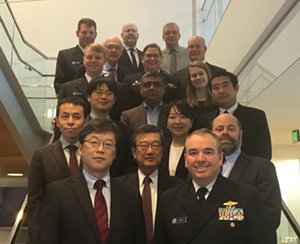
Participants of the UJNR meeting.
Rear Adm. Shep Smith chaired the 47th annual meeting of the Seabed Surveys Panel of US-Japan Cooperative Program in Natural Resources (UJNR) in Silver Spring, MD from December 17-19. The panel, led on the US side by the Office of Coast Survey promotes the exchange of marine geophysical and bathymetric technology and seafloor survey information. This year the panel focused on applications of multibeam surveying, ocean modeling, spatial reference systems, autonomous systems and electronic charting. In addition to Coast Survey, the US delegation included representatives from the National Geodetic Survey, the National Centers for Environmental Information, NOAA Oceanic and Atmospheric Research, and the National Geospatial-Intelligence Agency. Representatives from Japan include the Hydrographic and Oceanographic Department of Japan Coast Guard, Japan Hydrographic Association, the National Ocean Policy Secretariat, and the Embassy of Japan. For more information contact
Andy.Armstrong@noaa.gov.
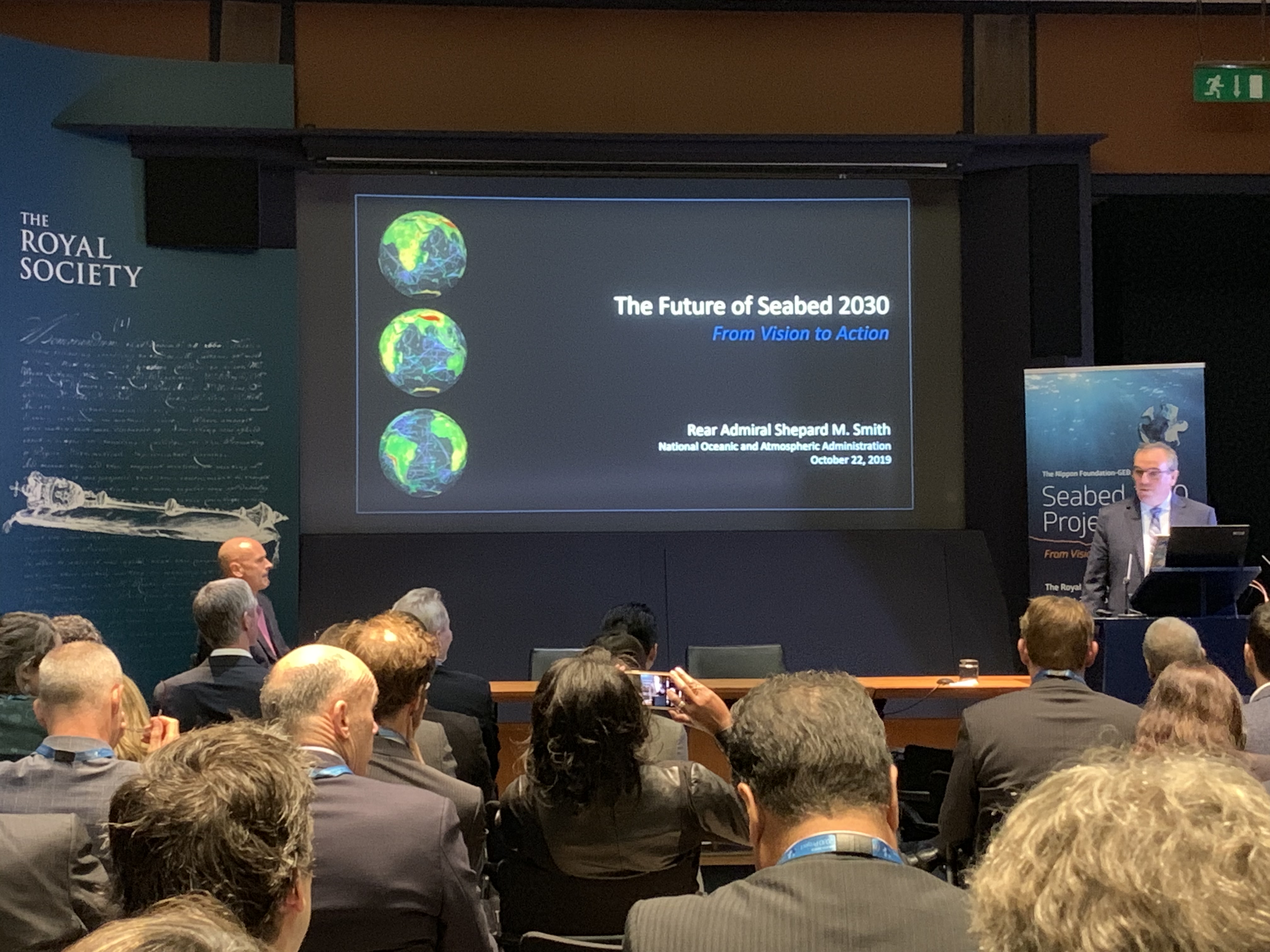
You can view Rear Adm. Smith's keynote speech on the Future of Seabed 2030
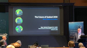
Rear Adm. Smith presenting at The Royal Society in London.
Last October,
Rear Adm. Smith gave keynote address titled
The Future of Seabed 2030: From Vision to Action at the
Seabed 2030 Summit at the Royal Society in London. You can find a video and transcript of his presentation on our
blog.
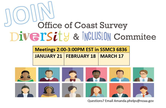
You're Invited to join the Office of Coast Survey Diversity and Inclusions Committee
Creating and fostering a diverse and inclusive workforce is a top priority for Coast Survey. We strongly support NOAA's diversity and inclusion (D&I) goals of recruiting a diverse, highly capable workforce, building an inclusive work environment, and ensuring continued progress and commitment. Each and every employee has the ability to make a difference each day in making Coast Survey a place where we all want to work. Participating in our D&I committee is a great place to start! Read more about the committee and our activities on our webpage on Navigator. For more information contact
Amanda.Phelps@noaa.gov.
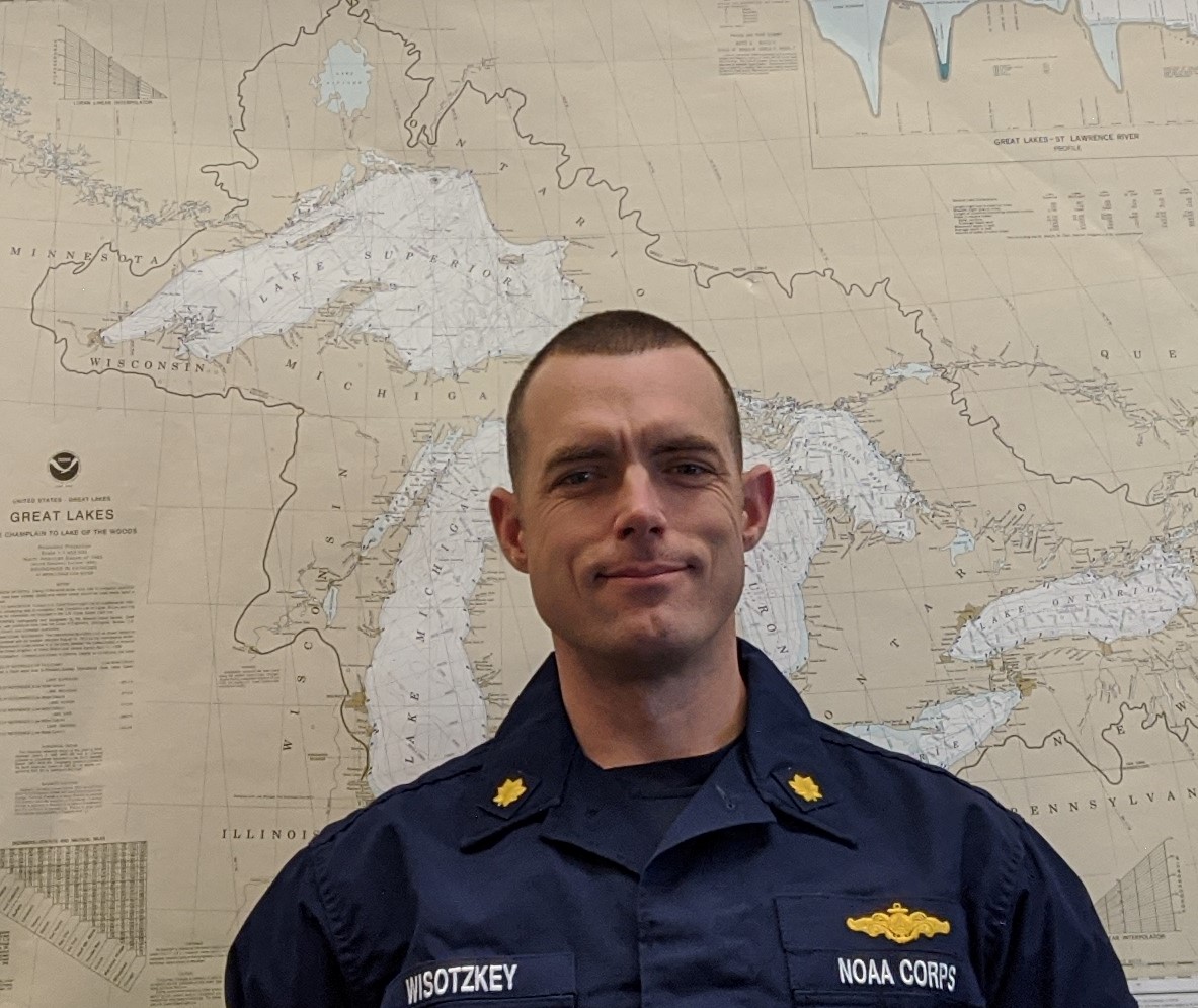
The Navigations Services Division's Customer Affairs Branch welcomes
Lt. Cmdr. Charles Wisotzkey who has re-joined Coast Survey to assume duty as the navigation manager for the Great Lakes region. Lt. Cmdr. Wisotzkey's hydrographic field experience includes two sea tours aboard the NOAA Ship
Thomas Jefferson, an assignment as the Hydrographic Systems and Technology Branch field support liaison for the Pacific, extensive augmentation with the NOAA Ships
Fairweather and
Rainer, and work with various other NOAA and federal hydrographic field units. Lt. Cmdr. Wisotzkey is excited to learn about a new region of the U.S. and to support Coast Survey efforts in the Great Lakes.