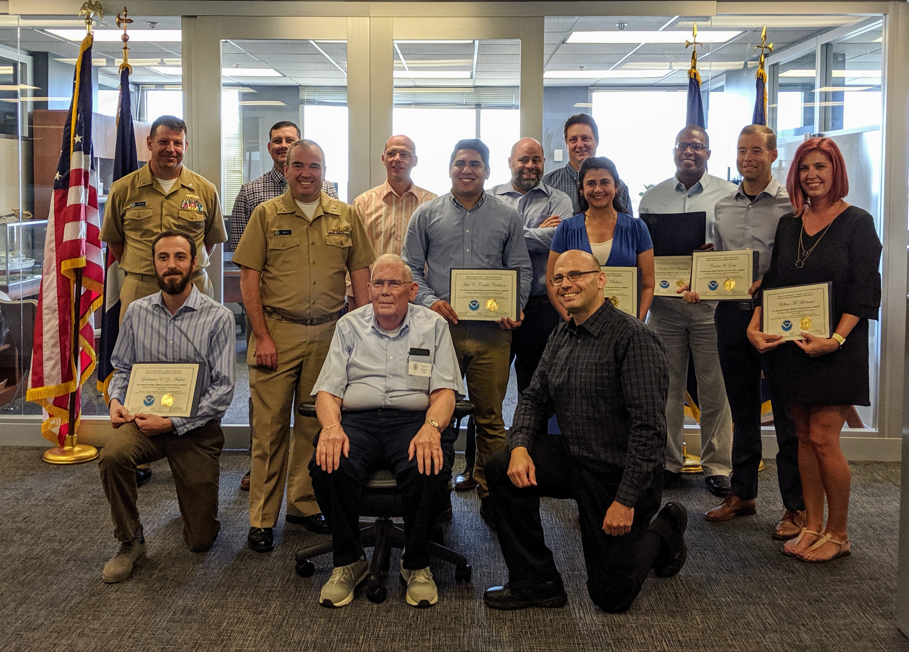
Second class of NOAA’s certification program in nautical cartography graduates

Left to right: (Back row) Capt. Rick Brennan, Brian Akers,
Patrick Chauvet, John Nyberg, Steve Soherr, Darien Watkins.
(Middle row) Rear Adm. Smith, Julio Castillo, Christina
Belton, Carson Gray, Kolleen Mortimer. (Front row) Guillaume
Auclert, Rear Adm. Chris Andreasen (retired), Shachak Peeri.
The second class of NOAA’s certification program in nautical cartography received their completion certificates from Rear Adm. Smith on September 27, 2019. Students took six courses over 51 weeks and completed work details within the Office of Coast Survey, all while maintaining their full-time jobs. This year’s class consisted of ten students:
Brian Akers, Marine Chart Division (MCD)
Guillaume Auclert, MCD
Christina Belton, Hydrographic Surveys Division (HSD)
Julio Castillo, MCD
Patrick Chauvet, MCD
Carson Gray, MCD
Kolleen Mortimer, HSD
Steve Soherr, Navigation Services Division (on detail to MCD)
Darien Watkins, MCD
Lt Max Andersen (Nation Geodetic Survey, Remote Sensing Division)
Lt. Uchechukwu Kelechi Erege (Nigerian Navy)
For more information contact
Shachak.Peeri@noaa.gov.
Royal Canadian Navy trainees visit NOAA
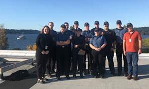
Royal Canadian Navy trainees with Crescent Moegling on the
far left and Kirby Cook on the far right. Visible in the
background is their training vessel, Wolf.
On September 20,
Crescent Moegling, acting Customer Affairs Branch chief and Northwest and Pacific Islands navigation manager, hosted a group of trainees from the Venture Naval Officers Training Center based in Esquimalt, British Columbia, for a tour of NOAA offices at the Western Regional Center in Seattle. Trainees arrived aboard their
Orca Class Patrol Craft Training Vessel Wolf and included 10 Royal Canadian trainees and a Royal New Zealand Navy Hydrographic Survey officer. The Royal Canadian Navy (RCN) is Canada’s naval force consisting of approximately 8,300 regular force and 3,600 reserve sailors, supported by around 3,800 civilian employees. The mission of the RCN is to generate combat-capable, multipurpose maritime forces that support Canada’s efforts to participate in security operations anywhere in the world, as part of an integrated Canadian Armed Forces. The trainees were briefed on NOAA’s mission as it relates to safe navigation including nautical charting, tsunami hazards, marine weather, and hydrographic surveys.
Cmdr. Olivia Hauser, chief of the Pacific Hydrographic Branch, spoke on Coast Survey’s charting mission while
Lt. j.g. Michelle Levano, of Coast Survey's Navigation Response Branch, provided an overview and tour of the navigation response team's vessel. For more information contact
Crescent.Moegling@noaa.gov.
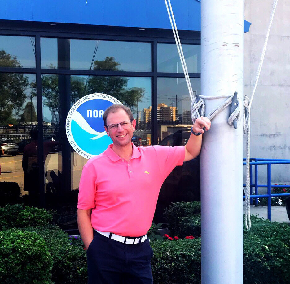
Nautical Data Branch chief named chair of U.S. Board on Geographic Names
Tara Wallace.
Tara Wallace, MCD’s Nautical Data Branch chief, was recently elected as chair of the
United States Board on Geographic Names (BGN). She will serve as chair for a two-year term (October 2019 - September 2021). Tara will still serve as the Department of Commerce member with Thaddeus Ellerbe, of MCD's Production Branch E, as deputy member within NOAA. The BGN is a federal body created in 1890 comprised of representatives from ten federal agencies established to maintain uniform geographic name usage throughout the federal government. The BGN does not create names for geographic features, but approves or rejects names proposed by others, based on the board's principles, policies, and procedures. BGN decisions involve names for domestic, foreign, Antarctic and undersea features. For more information contact
Tara.Wallace@noaa.gov.
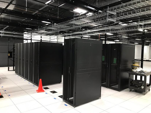
Coast Survey's IT data centers will be moving to Ashburn, Virginia

New equipment racks in the new NOAA Enterprise Data
Center in Ashburn, Virginia.
Starting in January 2020, the NOAA CIO’s Service Delivery Division (SDD) will provide an Enterprise Data Center Service. This service is a cost effective solution for data center hosting and colocation, meeting the needs of both the CIO’s office and line office customers. The new data center will provide redundant and reliable power and cooling systems for our IT resources. The vacated data center space at SSMC will be reclaimed to support NOAA’s restacking efforts to renovate and consolidate office space. NOAA plans to consolidate and relocate IT Data Centers from the following locations into the new Enterprise Data Center facility in Ashburn, Virginia.
Information Technology Center - Largo, MD
Silver Spring Main Campus - Silver Spring, MD
Financial Services Division - Germantown, MD
Corpserv and Acquisition and Grants Office - Norfolk, VA
Since March 2019, Coast Survey's IT along with IT teams from NOS program offices have been meeting regularly and planning for this major transition in order to meet NOS’ target deadline of March 2020. For more information contact
Thanh.Pham@noaa.gov.
Coast Survey provides comments on the U.S. Coast Guard’s Maritime Commerce Strategic Outlook
On board the USCGC Henry Blake, Capt. Linda Sturgis,
commanding officer, Coast Guard Sector Puget Sound; Lt. j.g.
Michelle Levano, officer in charge, NRT-Seattle; Adm. Karl
Schultz, 26th Commandant, U.S. Coast Guard; Cmdr. Olivia
Hauser, chief, Pacific Hydrographic Branch; Capt. Megan
Dean, chief of staff, District 13.
On September 18,
Lt. j.g. Michelle Levano and
Cmdr. Olivia Hauser met with Adm. Karl L. Schultz and Rear Adm. Jack J. Vogt as part of a round table discussion on the U.S. Coast Guard’s (USCG) Maritime Commerce Strategic Outlook. Schultz emphasized three critical elements of maritime commerce focusing on the environment, security, and commerce. Hauser and Levano provided comments on the joint relations and missions of the USCG and NOAA and how NOAA’s operations directly support the blue economy. Also in attendance were representatives from Congresswoman Pramila Jayapal’s office, Northwest Seaport Alliance, Sound Transit, Port of Seattle, maritime publications, KOMO 5 news, and other local maritime constituents. For more information contact
Michelle.levano@noaa.gov.
Environmental compliance training held at Coast Survey headquarters
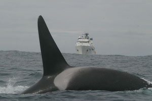
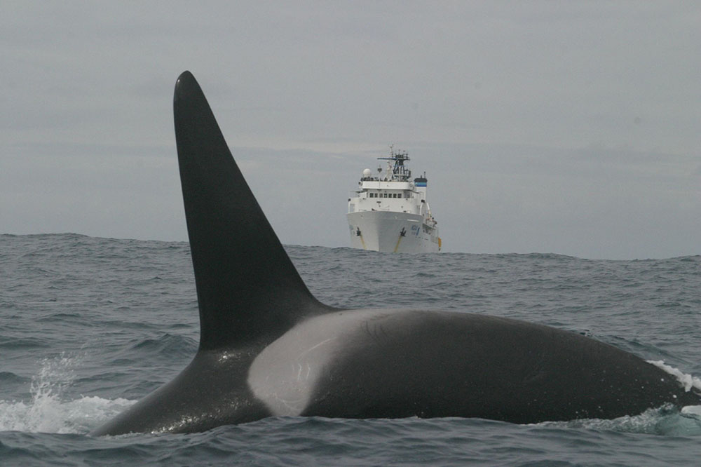
Bow whale with NOAA vessel in the background.
Coast Survey is currently holding the third annual set of Environmental Compliance Training sessions. This training is for staff and management directly involved in the planning of Coast Survey field operations, such as hydrographic surveys (including contractor projects), grants, and other field work such as unmanned aerial system testing and operation. If you were unable to attend the first session on October 2, a second session is planned for October 30, 9:00 a.m. - 4:00 p.m. in SSMC3 Rm 6836.
If you need this training and have not received an invitation (or if you simply want to attend), please contact
Jay Nunenkamp at ocs.ecc@noaa.gov. CLP credits are available for those who request them. In-person attendance is encouraged, but remote access will also be available via teleconference and Google hangouts.
U.S. Hydrographic Planning Committee prepares for annual IHO Council meeting
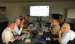
September 2019 U.S. Hydrographic Planning Committee
meeting.
The U.S. Hydrographic Planning Committee (USHPC) is a monthly interagency coordination venue for NOAA, Navy, National Geospatial-Intelligence Agency, State Departement, and USCG to develop U.S. positions on international hydrographic matters mostly in connection with U.S. membership in the International Hydrographic Organization (IHO). NOAA’s Rear Adm. Smith chairs the committee. Coast Survey hosted the September 2019 meeting attended by senior maritime officials including John Lowell, Senior GEOINT Authority – Maritime, NGA; Capt. Richard Kennedy, director of the Maritime Safety Office, NGA; Matthew Borbash, deputy hydrographer of the Naval Meteorology and Oceanography Command; Rodney Ladner, director of the Hydrographic Department, Naval Oceanographic Office; Rear Adm. Christian Andreasen (retired), senior government special employee (former IHO president and former NOAA chief hydrographer).
For more information contact
Jonathan.justi@noaa.gov.
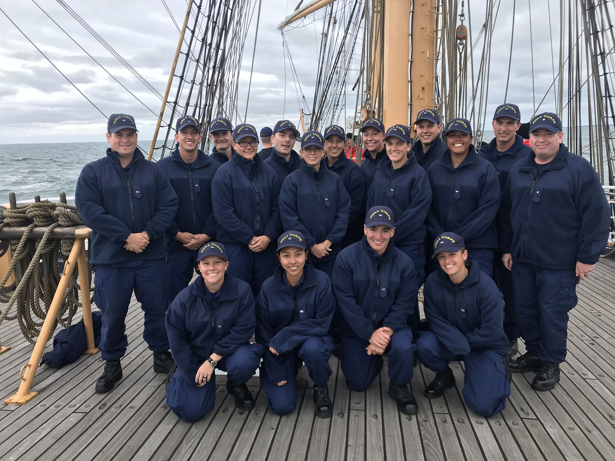
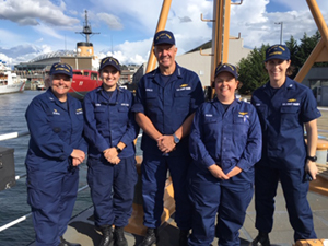
Coast Survey leadership sails with NOAA Corps officers in training

NOAA Corps officer candidates with Rear Adm. Smith (far
right) on U.S. Coast Guard Cutter Barque Eagle.
Last week, Rear Adm. Smith sailed on the U.S. Coast Guard Cutter
Barque Eagle for the last leg of the joint USCG Officer Candidate School / NOAA Corps Officer Training program long cruise. As a sponsor of the program, Smith provides mentoring and guidance to the incoming NOAA Corps officer candidates. The
Eagle cruise allows officer candidates to apply knowledge from numerous academic classes, build teamwork, practice organizational skills as they manage watch sections and personnel in evolutions on deck, and interact with the enlisted workforce and wardroom. For more information contact
Elizabeth.Kretovic@noaa.gov.

Staff Updates
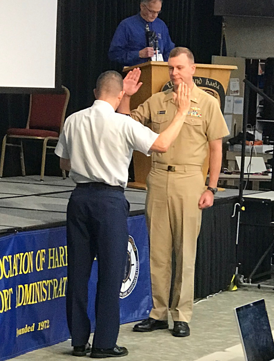
Rear Adm. Matthew T. Bell and Lt. Cmdr. Bart Buesseler.
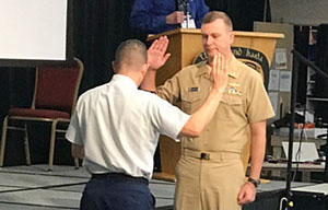
Bart Buesseler was recently promoted to lieutenant commander. While Lt. Cmdr. Buesseler was in Juneau for the Alaska Association of Harbormasters & Port Administrators conference, a small promotion ceremony was conducted by Rear Adm. Matthew T. Bell, commander of the USCG District 17.
Mike Lewis.
Michael (Mike) Lewis joined HSD's Operations Branch in October as part of a three-month detail to work on the Hydrographic Health Model. Mike joins the team from NOAA Fisheries Office of Science and Technology, where he manages the commercial landings database. As part of his detail, Mike will be working on the FY20 re-computation of the Hydrographic Health Model. His work will focus on incorporating updated data sources into the model and developing a standardized, annual reporting metric to communicate the hydrographic health of our nation's waters.
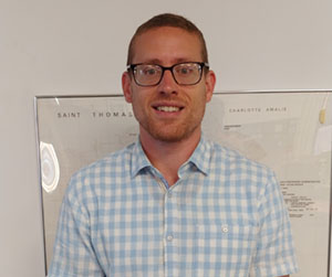
Jonathan Haines.
Jonathan Haines recently joined HSD's Atlantic Hydrographic Branch (AHB). He completed by master’s degree in physics from Old Dominion University in 2016. After graduation, he moved to Mississippi for a job with the Naval Oceanographic Office (NAVO) at Stennis Space Center. While at NAVO, Jonathan traveled on six surveys, processed bathymetry data, worked with autonomous underwater vehicles, and processed lidar data. His hobbies include taking walks with his dog, spending time with his wife, and training for races with his running buddies.
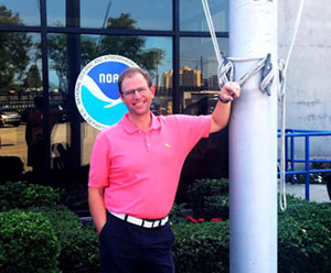
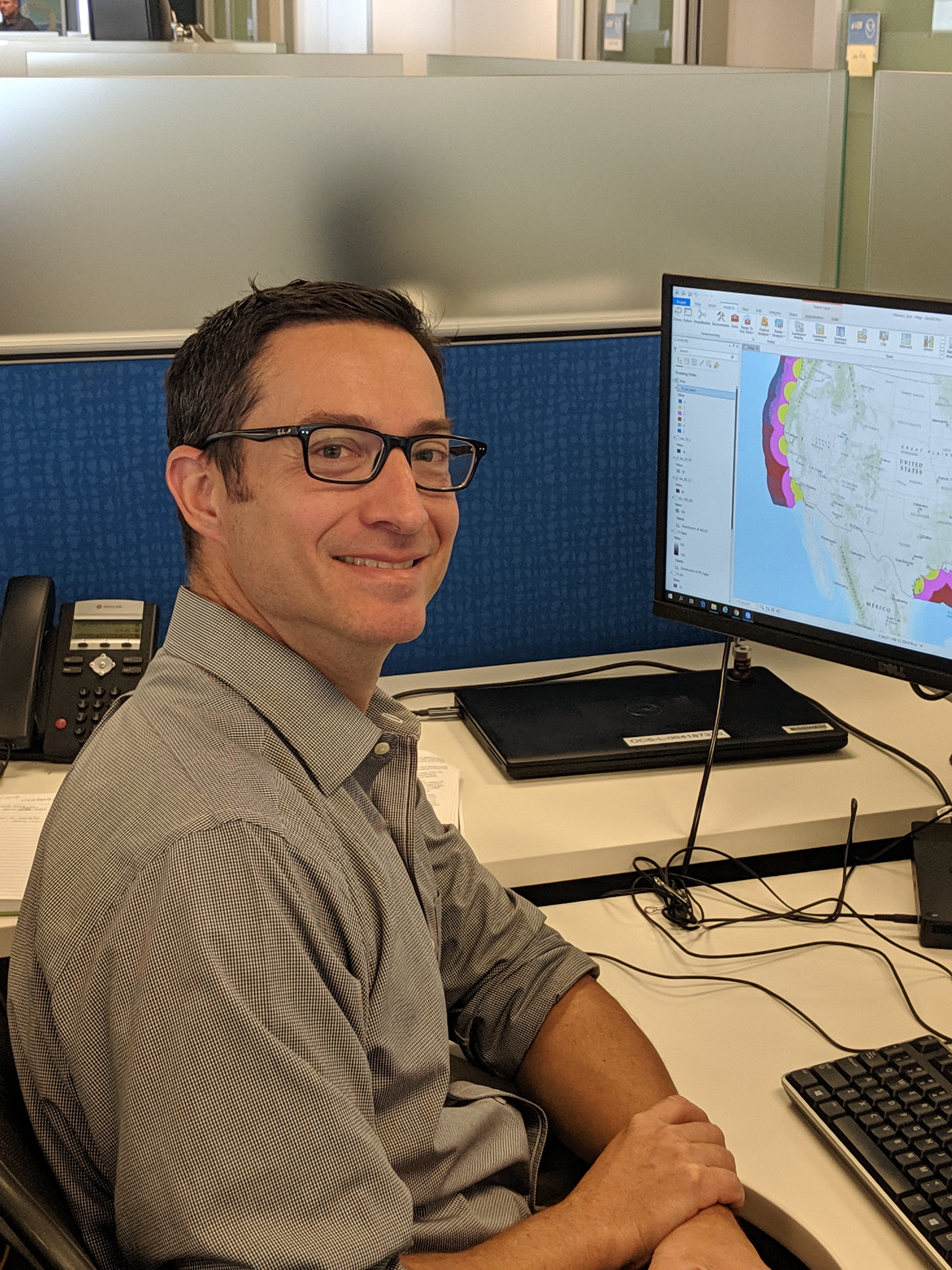
Clint Marcus.
Clint Marcus is currently on detail as the product team lead at AHB. Clint's career with NOAA started in 2007, where he served as a general vessel assistant on the NOAA Ship
Rude, while attending the Maine Maritime Academy. He sailed for six years as a survey technician on the NOAA Ship
Fairweather before joining AHB in 2017 as a physical scientist. Prior to working at NOAA, Clint served as a sonar technician on submarines in the Navy. Clint is looking forward to working with all the various people to help bring external source data and the National Bathymetric Source projects to the forefront.
Opportunities
Coast Survey Budget Analyst NRAP Announcement closes October 25. Internal Coast Survey candidates are very much encouraged to apply with supervisor permission. The start date under the NRAP program cannot be sooner than January 1, 2020.
Contact Kathleen Jamison (Kathleen.Jamison@noaa.gov) with questions about the assignment.