by Thomas Loeper, Coast Survey navigation manager for the Great Lakes
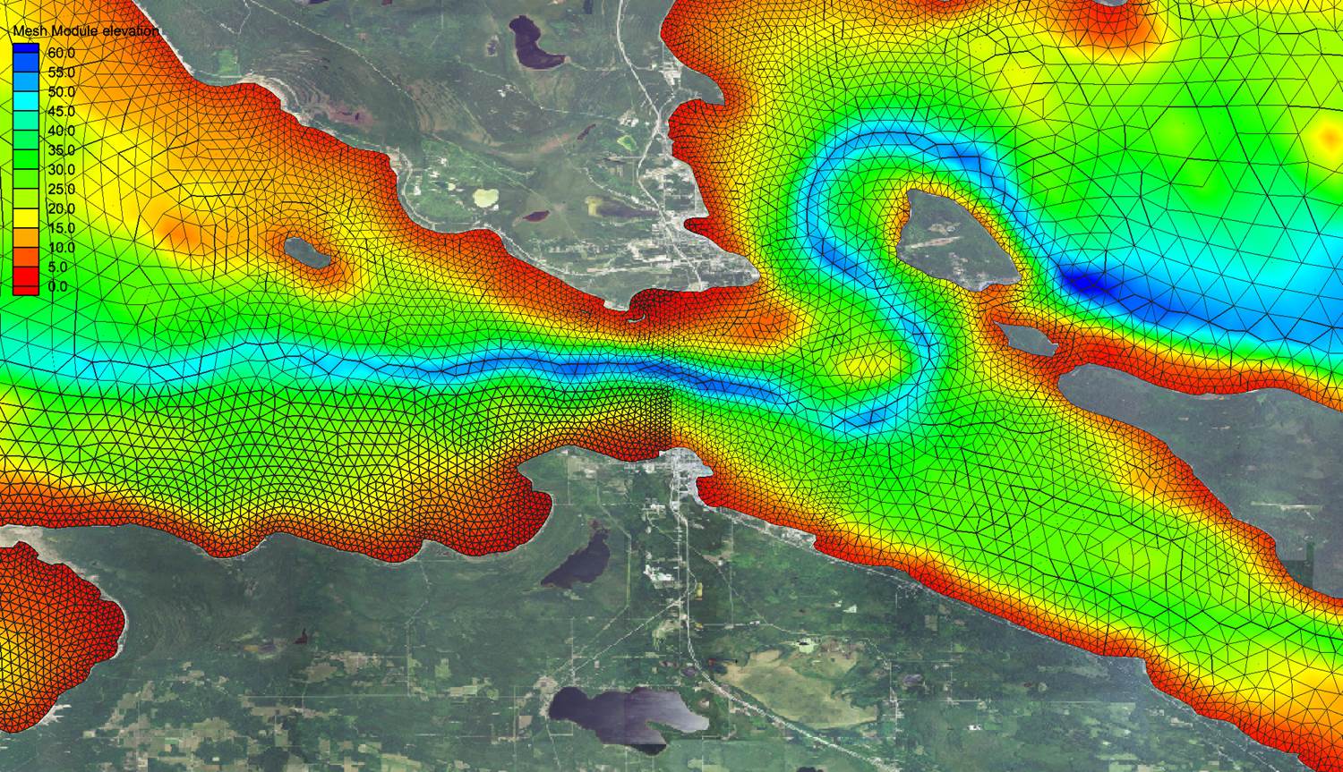
Have you ever wondered how scientists make short-term forecast water levels, currents, and water temperature for the Great Lakes? They use the National Ocean Service’s operational forecast systems. There are now five different computer forecast modeling systems running for the Great Lakes — one for each lake. The forecast guidance from these forecast systems supports a variety of activities, including environmental management, emergency response for incidents like hazardous materials spills, homeland security, and search and rescue, as well as safe and efficient navigation of recreational and commercial vessels along the entire Great Lakes system.
The current operational forecast systems have been operational since 2005/2006, and Coast Survey is planning upgrades in the coming years. The original forecast systems were developed in the early 1990s as a collaborative effort between NOAA’s National Ocean Service, the Great Lakes Environmental Research Laboratory, the National Weather Service, and the Ohio State University. They were the first civilian coastal ocean systems to produce regularly scheduled predictions for the U.S.
Continue reading “Upgrading Great Lakes operational forecast systems”