NOAA Open House to share scientific awesomeness

Explore your world and learn how NOAA — the National Oceanic and Atmospheric Administration — takes the pulse of the planet every day and protects and manages ocean and coastal resources. 2015 NOAA Open House Ad

Join us on NOAA’s Silver Spring, Maryland, campus for a day of discovery. Listen to engaging talks by NOAA experts, explore interactive exhibits, take special tours, and have fun with hands-on activities for ages 5 and up. Meet and talk with scientists, weather forecasters, hurricane hunters, cartographers, and others who work to understand our environment, protect life and property, and conserve and protect natural resources.
Continue reading “NOAA Open House to share scientific awesomeness”

NOAA Coast Survey 2015 leadership team

NOAA’s Office of Coast Survey enters 2015 with a leadership team that is ready to transform the nation’s hydrographic data acquisition and maintenance program, making coastal data more easily accessible for digital applications that include navigation and coastal planning. We thought you might like to know who those leaders are…
Director, Coast Survey: Rear Admiral Gerd F. Glang
RDML Gerd Glang formal2
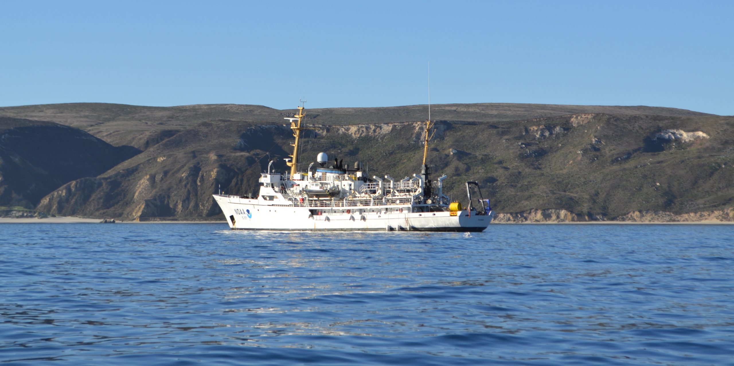
Rear Adm. Glang was appointed as director of Coast Survey in August 2012. A NOAA Corps officer since 1989, Glang is a professional mariner, specializing in hydrographic surveying and seafloor mapping sciences. He has served aboard four NOAA ships, working in the waters of all U.S. coasts, from the largely uncharted coastal waters of Alaska’s southwest peninsula to the South Pacific. He was commanding officer of NOAA Ship Whiting in 1999, when the ship responded to the seafloor search for John F. Kennedy, Jr.’s, downed aircraft. Just three months later, he led Whiting to the first discovery of the seafloor debris fields from Egypt Air Flight 990. Ashore, Glang has led NOAA work in hydrography, cartography, and planning. A 1984 graduate of the State University of New York Maritime College with a bachelor’s degree in engineering, Glang also received a graduate certificate in ocean mapping from the University of New Hampshire Center for Coastal and Ocean Mapping, and is a graduate of the Harvard Kennedy School Senior Executive Fellows program.
Continue reading “NOAA Coast Survey 2015 leadership team”

Coast Survey wants your thoughts about chart catalogs

Regular blog readers are aware of NOAA chart transformations over the last year, as we transition our nautical products to a wide range of paper and digital formats, print-on-demand services, and web mapping ‒ providing updated information that is easy to access. Next up for consideration is the traditional chart catalog. In a Federal Register Notice published on November 28, we ask for your opinion.
Until April 2014, the Federal Aviation Administration had printed NOAA’s nautical chart catalogs on oversized paper sheets (up to 35 inches by 55 inches), folded them, and made them available to the public for free. Since the printing was done in bulk, and stored prior to distribution, the information on the reverse side of the catalogs was often out of date by the time catalogs reached customers. When the FAA ceased printing NOAA nautical charts in April, they also stopped printing the catalogs.
Continue reading “Coast Survey wants your thoughts about chart catalogs”

Public has new web access to NOAA hydro survey plans

With over 3.4 million square nautical miles of U.S. waters to chart, NOAA’s Office of Coast Survey is constantly evaluating long-term hydrographic survey priorities. Now, for the first time, Coast Survey is posting its three-year survey plans and making them publicly available at the Planned NOAA Hydrographic Survey Areas (2015-2017) in ArcGIS Online. In addition to seeing the outlines of planned survey areas for the next three years, users can obtain additional metadata (project name, calendar year, and area in square nautical miles) for each survey by simply clicking on the outlines. Other features display the survey area information in a tabular format, and can filter the information using metadata fields.

The new Planned NOAA Hydro Survey map color codes project areas by year. Clicking on the outline gives additional information.
The new Planned NOAA Hydro Survey Area map color codes project areas by year. Clicking on the outline gives additional information.

Continue reading “Public has new web access to NOAA hydro survey plans”

Coast Survey’s little known role in the case of the Amistad

Coast Survey Brig Washington

Lt. Thomas R. Gedney, a U.S. Navy officer commanding the U.S. Coast Survey Brig Washington on August 20, 1839, was surveying the area between New York’s Montauk Point and Gardiner’s Island. He “discovered a strange and suspicious looking vessel off Culloden Point, near said Montauk Point,” according to his statement to Connecticut District Court Judge Andrew T. Judson. Gedney and his officers took possession of the vessel. The ship captured by the Washington proved to be the Spanish schooner called L’Amistad – the ship carrying Africans who revolted against their captors and tried to sail back to Africa… Thus began a little known piece of U.S. Coast Survey history. (It is so little known, in fact, that the 1997 movie Amistad did not mention Coast Survey.)
Continue reading “Coast Survey’s little known role in the case of the Amistad”

NOAA Ship Rainier surveying the waters off Washington

NOAA Ship Rainier anchored in Cuyler Harbor adjacent to San Miguel Island, California.

A NOAA ship plying the waters off the coast often inspires public curiosity. This is especially true when boaters and others see the ship or her launches just go back and forth, back and forth, all day. It’s not a surprise, then, that NOAA Ship Rainier’s latest project is generating questions from the areas around Protection Island and Lopez Island, Washington.
Don’t worry, there is no problem! NOAA’s Office of Coast Survey is collecting bathymetric data to update nautical charts that are currently displaying depth measurements acquired from surveys conducted from 1940 to 1969. Survey vessels go back and forth, in a maneuver that is similar to mowing the lawn, as they use multibeam echo sounders to measure the depths and to “see” the ocean floor. If any of the vessels discover a danger to navigation – an uncharted wreck or other obstruction, for instance – Coast Survey will immediately inform the U.S. Coast Guard and the information will be relayed to ships and boaters through a Local Notice to Mariners.
Continue reading “NOAA Ship Rainier surveying the waters off Washington”

New private hydro vessel adds to nation’s capabilities

Under beautiful blue skies yesterday in Gulfport, Mississippi, David Evans and Associates, Inc. commissioned its new 82-foot hydrographic survey and scientific vessel Blake. Rear Admiral Gerd Glang, Coast Survey’s director, welcomed the addition to the nation’s hydrographic surveying assets. DEA is under contract to NOAA to provide critical hydrographic data for updating the nation’s nautical charts.
Continue reading “New private hydro vessel adds to nation’s capabilities”

Survey helps ensure safe “parking” for deep-draft vessel in SF

In preparation for the M/V TERN’s anticipated arrival this week in San Francisco Bay, the Coast Guard and Port of San Francisco asked Coast Survey for a bathymetric survey of the proposed anchorage site. TERN is a semi-submersible vessel with a 60-foot draft, and the proposed anchorage site has charted depths of 62 feet and 63 feet ‒ leaving no room for error, to say the least. The question was whether there are any spots shoaler than 62 feet.
This isn’t your everyday anchorage.
Continue reading “Survey helps ensure safe “parking” for deep-draft vessel in SF”

NOAA is open for business with navigation industry

At the first NOAA Navigation Industry Day, held October 10 in conjunction with the Annapolis Boat Show, over two dozen of the world’s top maritime app and navigation system developers met with NOAA experts to learn more about the vast amounts of NOAA data that is available for free access and use.

IT charting specialist Pete Gomez explains how Coast Survey is developing a new chart tile service, to be unveiled this winter.

Continue reading “NOAA is open for business with navigation industry”