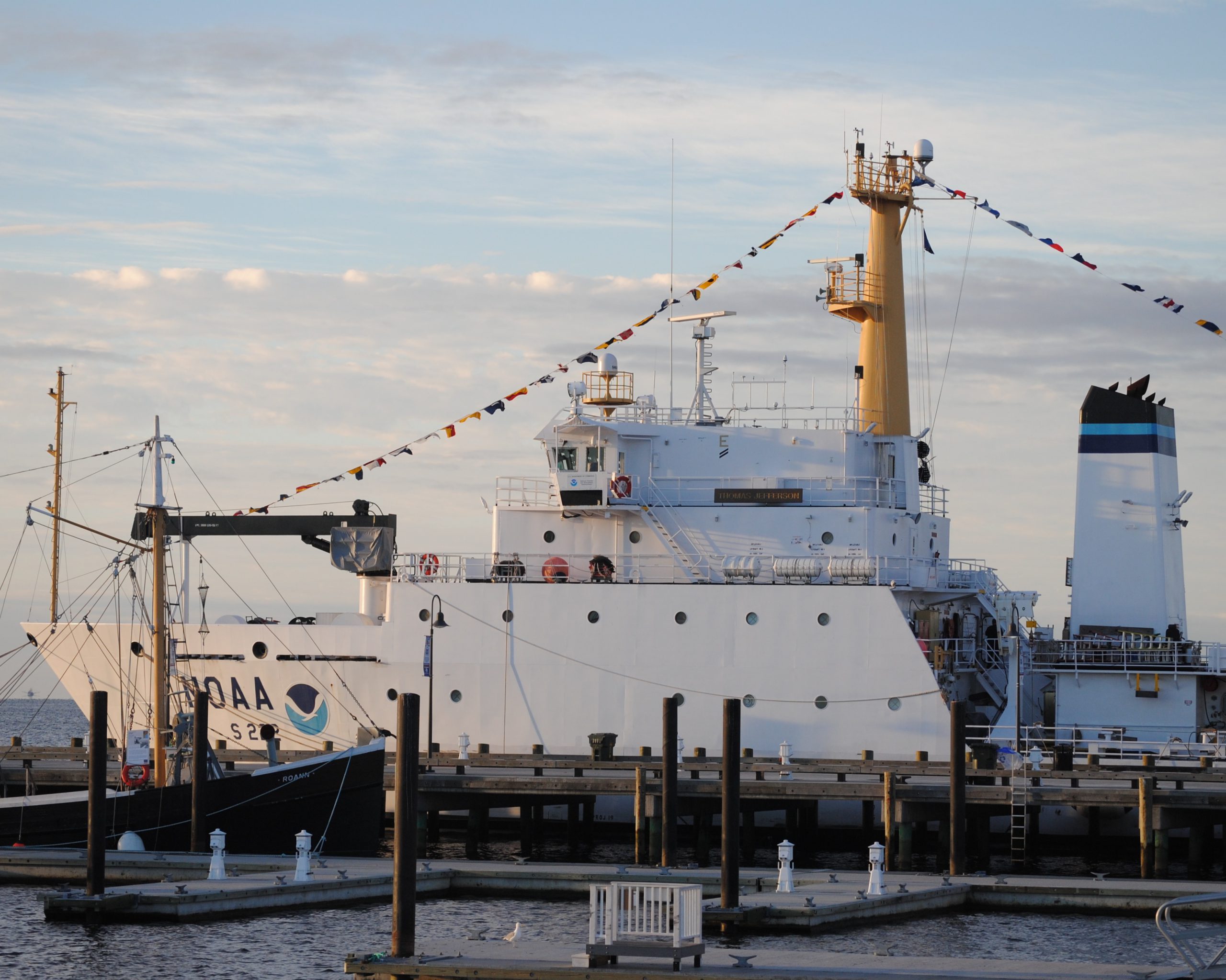
NOAA hydro field season underway

The 2014 hydrographic survey season is underway, with the NOAA fleet beginning its projects for this year.
Have you ever wondered how Coast Survey goes about determining where to survey and when? Several considerations go into prioritizing survey plans, which are laid out several years in advance. Coast Survey asks specific questions about each potential survey area.

  • Is it considered a critical area? If so, how old are the most current survey data?
  • Have local pilots or port authorities submitted reports of shoaling, obstructions or other concerns?
  • Does the U.S. Coast Guard or other stakeholders from the maritime community (e.g., fisheries, energy, pipelines) need surveys for economic development or ecological protection?

Coast Survey’s 2014 projects reflect these priorities.
Continue reading “NOAA hydro field season underway”

Navigation Response Team 1 finds vehicle during survey of Intracoastal Waterway, assists sheriff’s office

While surveying the approaches to Panama City (FL), St Andrews Bay, and West Bay, Coast Survey’s Navigation Response Team 1 recently made an unexpected find. When team members Mark McMann and Aurel Piantanida reviewed hydrographic data collected with their side scan sonar and multibeam echo sounder, they discovered an upside-down vehicle in Panama City’s West Bay Creek, part of the Intracoastal Waterway (see chart 11385).

NRT 1's multibeam echo sounder captures the submerged car's image.
NRT1’s multibeam echo sounder captures the submerged car’s image.

Continue reading “Navigation Response Team 1 finds vehicle during survey of Intracoastal Waterway, assists sheriff’s office”

NOAA’s paper nautical charts are here to stay

New certified printing agents bring buying options

It won’t be long before mariners and the boating public will have a wider choice of options and special services when they purchase NOAA paper nautical charts, thanks to NOAA’s expanded “print-on-demand” chart production and distribution system, Coast Survey officials announced on April 4. Coast Survey recently certified new print-on-demand chart printing agents, and gave them the flexibility to offer different color palettes, various papers, a cleaner margin, and a range of services.
Continue reading “NOAA’s paper nautical charts are here to stay”

Coast Survey unveils NOAA ENC Online enhancements

In November 2013, we introduced NOAA ENC Online – a continuous viewer for our electronic navigational charts. You can click on the web map and zoom to selected features or locations, to see the information contained in over a thousand electronic charts of NOAA-charted waters. Each zoom moves you through an ENC depiction that takes into account the ENC scale and other attributes that are encoded in the ENC, allowing features to become visible or invisible as you seamlessly zoom in and out of the data.
Continue reading “Coast Survey unveils NOAA ENC Online enhancements”

Geographic names disappear from charts, but not from history — #Data4Coasts

by Meredith Westington, Coast Survey geographer
Good, informed decisions are often based on analyses of historic and present conditions. Researchers, decision-makers, and amateur history buffs find detailed documentation of past conditions in the thousands of Coast Survey charts, dating back to the mid-1800s, in our Historical Map and Chart Collection.
Just like present day nautical charts, historic charts contain a wealth of information about geographic features — including their names, shape, and condition. Geographic names are important locational references for today’s emergency responders, but current and historic names also convey important aspects of local people and culture, which may persist through time.
Continue reading “Geographic names disappear from charts, but not from history — #Data4Coasts”

Catch the digital wave in NOAA navigation products #Data4Coasts

Navigation manager Kyle Ward explains some of Coast Survey's new products at the Savannah Boat Show.
Navigation manager Kyle Ward explains some of Coast Survey’s new products at the Savannah Boat Show.

This week, NOAA’s National Ocean Service is inviting you to explore #Data4Coasts that NOS provides to the public, to researchers and decision makers, and to the many industries involved in coastal resilience and maritime commerce. Much of Coast Survey’s data for the coasts is easily accessible by downloading or by using a web map. Other products, like our beautiful printed nautical charts, are available for purchase – as they have been since the mid-1800s – from chart agents.
We’ve been making charts for a long time – and we’ve never been more excited about it! A quickly evolving (r)evolution is transforming the way we plan voyages and navigate, and Coast Survey is reconstructing our nautical product line for the millions of boaters and commercial pilots who are catching the new digital wave.
Continue reading “Catch the digital wave in NOAA navigation products #Data4Coasts”

Rainier beauty X 3

NOAA Ship Rainier had the wonderful fortune of cool, clear weather on March 13 as they fueled at the Navy Fuel Depot in Manchester, WA.  This provided a clear view of Mount Rainier.  However, it is even more rare that you would have three “Rainiers” all in view at once!  At the pier you can see USNS RAINIER (on the left side of the pier), NOAA Ship Rainier (on the right side of the pier), and the iconic Mount Rainier in the background. Absolutely beautiful.

USNS Rainer and NOAA Ship Rainer, with Mount Rainier in the background. Photo compliments of NAVSUP-FLC Puget Sound.
USNS RAINIER and NOAA Ship Rainier, with Mount Rainier in the background. March 13, 2014, photo courtesy of NAVSUP-FLC Puget Sound.

Beyond the charts: geological highlights from NOAA’s 2013 hydrographic field season in Alaska

–By Christy Fandel, Coast Survey physical scientist
Have you ever wondered what lies beneath the charted soundings on a nautical chart? While surveying Alaskan waters during the 2013 hydrographic field season, collecting bathymetry to update NOAA’s nautical charts, hydrographers revealed many interesting geologic features on the seafloor.
NOAA focuses a significant portion of our ocean mapping effort along the Alaskan coast. The Alaskan coastline represents over 50% of the United States coastline and dated nautical charts are inadequate for the increasing vessel traffic in this region. NOAA surveys are essential for providing reliable charts to the area’s commercial shippers, passenger vessels, and fishing fleets.
This past season, NOAA-funded hydrographic surveys in Alaska revealed many interesting geological features on the seafloor. Three surveys, in particular, took place in southeastern Alaska in the Behm Canal, along the Aleutian Chain within the coastal waters surrounding Akutan Island, and around Chirikof Island.

These three areas were surveyed by the NOAA Ship Rainier and surveying contractor Fugro-Pelagos during the 2013 field season.
These three areas were among the areas surveyed by the NOAA Ship Rainier and surveying contractor Fugro-Pelagos during the 2013 field season.

Continue reading “Beyond the charts: geological highlights from NOAA’s 2013 hydrographic field season in Alaska”

NOAA navigation response teams improve charts for ships transiting Miami and San Francisco

Coast Survey’s navigation response teams, which are 3-person hydrographic survey teams on small boats, have made a fast start on this year’s survey season.
In Florida, where Coast Survey is preparing to issue a “new and improved” Miami Harbor Chart 11468 to alleviate vessel congestion at the Port of Miami, a navigation response team finished final hydrographic surveys to ensure the new chart has the latest and most accurate depth measurements around several areas identified as critical within the port. In just ten days, team members Erik Anderson, James Kirkpatrick, and Kurt Brown acquired, processed, and submitted the multibeam survey data covering 64 nautical miles.

NRT2 Miami survey
NOAA Navigation Response Team 2 just finished up this survey in Miami

Continue reading “NOAA navigation response teams improve charts for ships transiting Miami and San Francisco”

Call for articles! Hydrography: it’s more than charts

In 2005, the International Hydrographic Organization established World Hydrography Day, celebrated annually on June 21. To observe this year’s World Hydrography Day, NOAA’s Office of Coast Survey is calling for articles for an e-publication dedicated to this year’s theme: “Hydrography: It’s More Than Charts.” Hydrography is the science upon which nautical charting is based, but, as this year’s World Hydrography Day theme conveys, researchers and planners use hydrography in a range of activities that benefit the coastal environment and the marine economy.

Survey ship using mutibeam echo sounder
A NOAA survey ship uses its multibeam echo sounder to conduct hydrographic surveys

Continue reading “Call for articles! Hydrography: it’s more than charts”