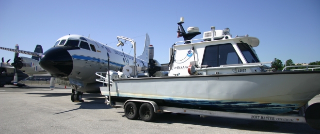
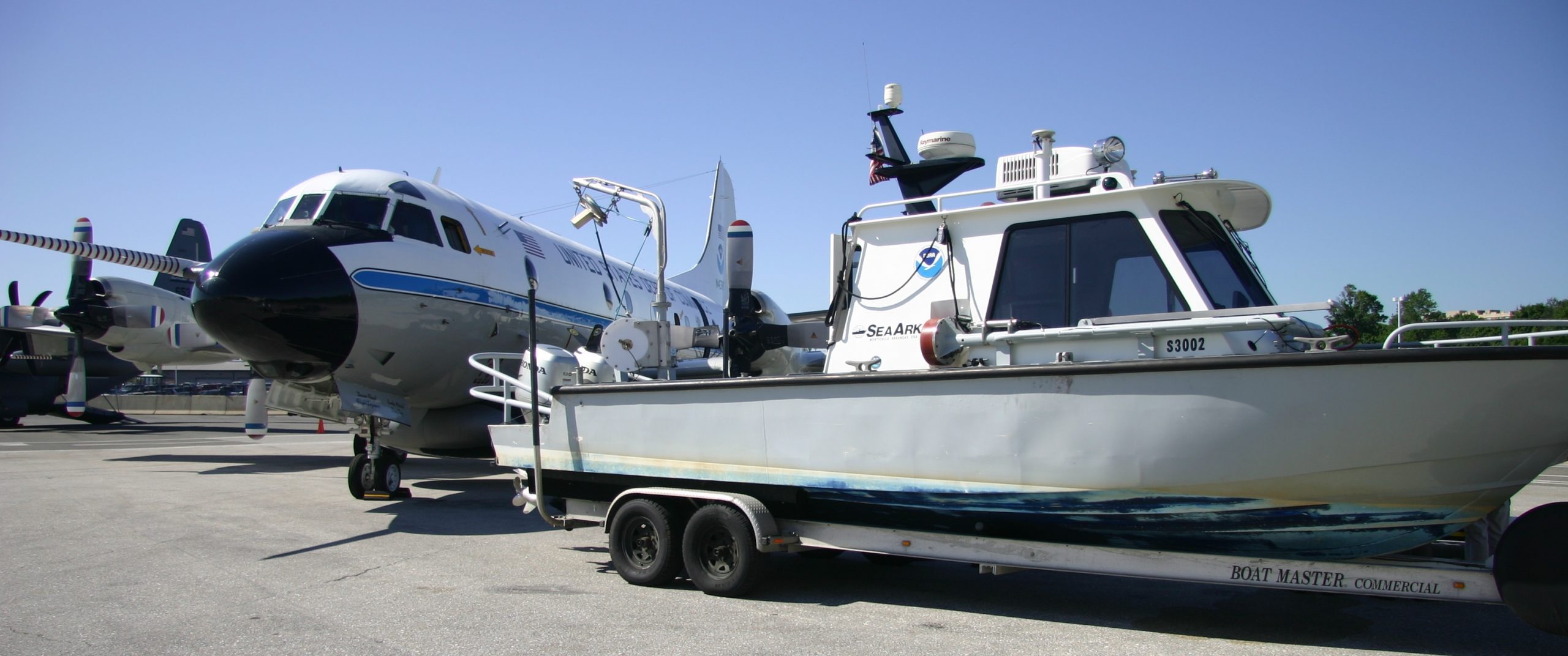
Hurricane Danny is churning in the Atlantic. NOAA hurricane models are churning through data, and two NOAA sensor-packed Hurricane Hunters — a Lockheed WP-3D Orion and a Gulfstream IV — are in Barbados, flying into the storm to collect storm data. Over the next few days, scientists on the ground and in the air will help us determine where Danny will go, and how big the hurricane will get.
In the meantime, NOAA Office of Coast Survey is tracking the NOAA forecasts and making initial preparations for deployment of hydrographic survey equipment to Puerto Rico or the U.S. Virgin Islands, if needed.


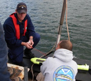
Coast Survey mobilizes survey teams to search for underwater debris and shoaling after hurricanes, to speed the resumption of ocean-going commerce. When we can’t reach the area with our navigation response team vessels, we send a special mobile integrated survey team (MIST) with the equipment. Then we find a “vessel of opportunity,” install the equipment, and the team goes into the water as soon as it is practicable. (A MIST operation in Maine, deployed for a different set of reasons, demonstrated its effectiveness when it assisted the fishing fleet out of Cobscook Bay.)
At almost the first suggestion that Danny would turn into a hurricane, the U.S. Coast Guard in San Juan was determining Coast Survey’s response capabilities. Does NOAA have the assets available to help re-open ports in Puerto Rico or the U.S. Virgin Islands, they asked Mike Henderson, Coast Survey’s navigation manager for Florida, PR, and USVI. Yes, he answered. The MIST is ready to go to any Caribbean location. In addition, the Navigation Response Branch chief, Lt. Cmdr. Holly Jablonski, reports that navigation response teams are preparing for possible mobilization on the Gulf Coast and East Coast, in case Danny maintains strength and heads to the mainland.
Additionally, Coast Survey’s coastal modeling experts are preparing to test a new storm surge model for predicting coastal flooding from Danny. This model, in experimental use this summer, would predict the flooding caused by the combined effects of hurricane-driven storm surges and tide signals. With a large, flexible grid that extends from South America to Canada, it provides an unprecedented scope for tracking the impact hurricanes have on coastal water levels as these storms cross the Atlantic Ocean and impact the U.S. coastline.


One Reply to “Coast Survey adds navigation assets to NOAA preparations for Hurricane Danny”