By Julia Powell, deputy chief of the Coast Survey Development Lab
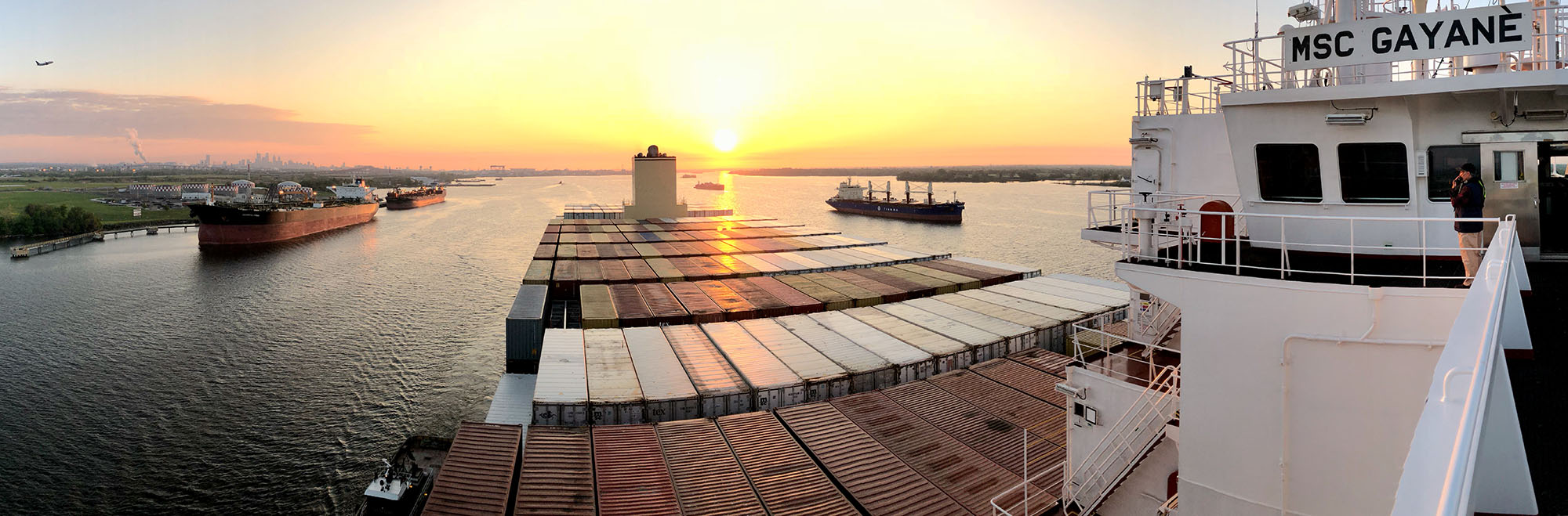
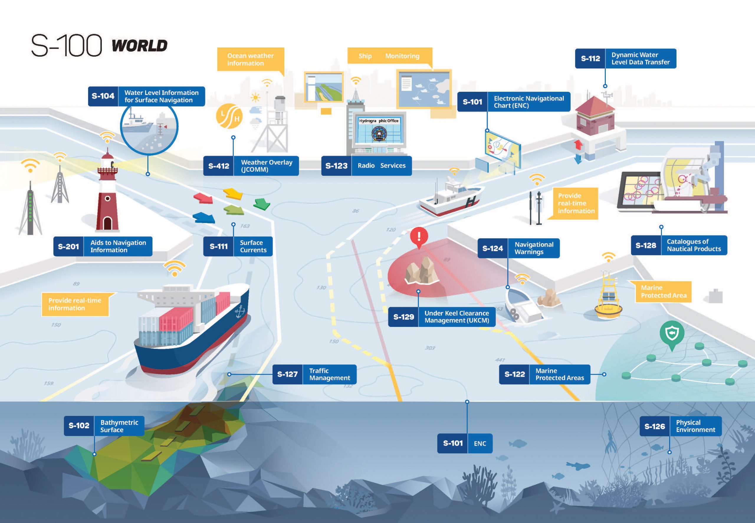
As e-Navigation becomes more popular, mariners are provided with streams of maritime data from multiple sources that allow them to more safely and efficiently navigate the seas. However, as the amount of information and number of sources grows, there is a need to standardize the data so it can be easily integrated and seamlessly displayed on navigation systems. Later this year, the International Hydrographic Organization (IHO) will publish edition 4.0.0 of S-100 – Universal Hydrographic Data Model. S-100 is the IHO’s framework for the standardization of maritime data products such as high resolution bathymetry, surface currents, marine protected areas, and the new standards for electronic navigational charts (ENCs).
Continue reading “The world of S-100: Updated framework of maritime data standards to be released in 2018”