NOAA’s latest mobile app provides free nautical charts for recreational boating

UPDATE: the beta testing period for MyNOAACharts has ended 

Public is invited to try beta version of MyNOAACharts

As recreational boaters gear up for a summer of fun on coastal waters and the Great Lakes, NOAA is testing MyNOAACharts, a new mobile application that allows users to download NOAA nautical charts and editions of the U.S. Coast Pilot. The app, which is only designed for Android tablets for the testing period, was just released.
MyNOAAChart, which can be used on land and on the water, lets users find their positions on a NOAA nautical chart. They can zoom in any specific location with a touch of the finger, or zoom out for the big picture to plan their day of sailing. The Coast Pilot has geo-tagged some of the major references and provides links to appropriate federal regulations.
Continue reading “NOAA’s latest mobile app provides free nautical charts for recreational boating”

U.S. Chart No. 1 moves into electronic age

For the 65 years since the U.S. Coast and Geodetic Survey issued the first edition of U.S. Chart No.1 in 1948, mariners have had a standard guide for understanding the symbols, abbreviations and terms used on paper nautical charts. In a major step forward, a new edition of that guide also describes the symbols specified by the International Hydrographic Organization for the display of electronic navigational charts (ENC) on Electronic Chart Display and Information Systems (ECDIS).
SymbolGlobeSeveral maritime nations produce their own versions of Chart 1. The U.S. Chart No. 1 describes the symbols used on paper nautical charts produced by NOAA and the National Geospatial-Intelligence Agency (NGA). The new U.S. Chart No. 1 is the first “Chart 1” produced by any country to show paper and electronic chart symbology side by side.
Continue reading “U.S. Chart No. 1 moves into electronic age”

Recreational boaters get – and give – free nautical information

Getting free information

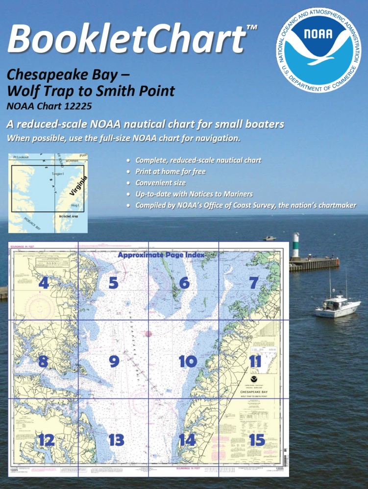
One of NOAA’s handiest navigation products, especially for recreational boaters, has been Coast Survey’s experimental BookletCharts™ — nautical charts that are easy to download and print from home computers. We have now moved the BookletCharts from experimental stage into official production.
BookletChart 12225Nearly a thousand newly updated BookletCharts are available free on the Web. The BookletCharts, which cover the 95,000 miles of U.S. coastline and the Great Lakes, are smaller scale than our traditional paper charts, but they contain most of the information found on a full-scale nautical chart. They are in an 8 1/2 x 11 inch PDF format for home printing.
“It is especially appropriate that we unveil these easy-to-use nautical charts as recreational boaters begin to think about their boating adventures for 2013,” explained Capt. Jon Swallow, chief of NOAA Coast Survey’s Navigation Services Branch. “NOAA’s nautical charts help to protect lives and property, and boaters should take advantage of these free nautical products.”
Continue reading “Recreational boaters get – and give – free nautical information”