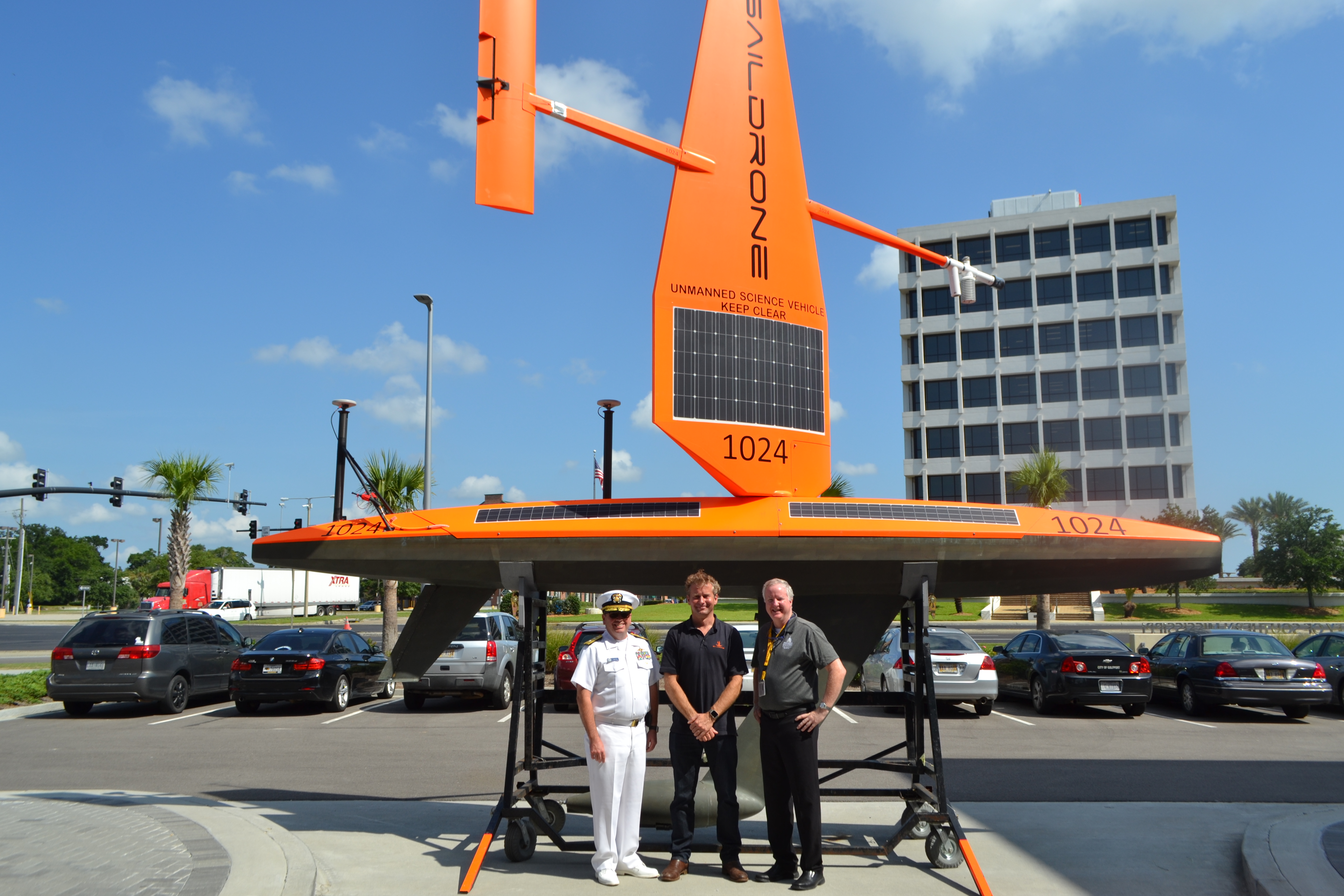
NOAA’s Office of Coast Survey, the University of Southern Mississippi (USM), and Saildrone accomplished a key milestone in the research and testing of unmanned technology that can lead to enhanced seafloor mapping capabilities with the launch of the first Saildrone — a wind-driven and solar-powered unmanned surface vehicle (USV) — equipped with multibeam echo sounder technology in the Gulf of Mexico. NOAA anticipates the success of this mission and technical achievement will lead to mapping projects in the Arctic.
Continue reading “Saildrone launched with seafloor mapping capabilities in the Gulf of Mexico shows promise for remote Arctic mapping”NOAA hosts 2019 Nautical Cartography Open House and Chart Adequacy Workshop
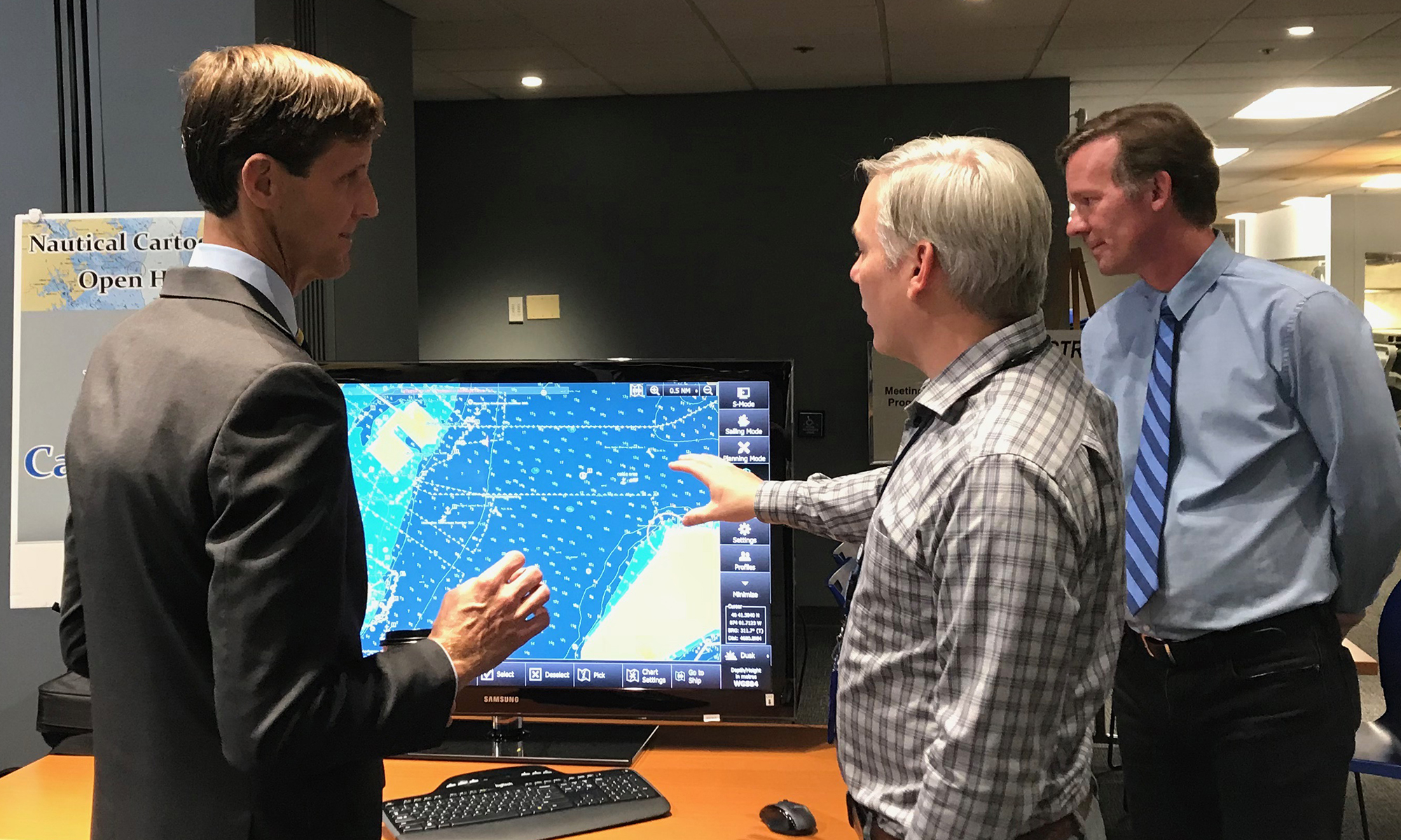
Last week, NOAA’s Office of Coast Survey held its third annual Nautical Cartography Open House welcoming over 250 attendees from the U.S. and abroad. Government agencies, industry and academic partners, and members of the public attended. The open house featured posters, presentations, tours, and exhibits centered around four themes: Bathymetric Databases, Custom Charting, Innovative Cartography, and Precision Navigation. Dr. Shachak Pe’eri, organizer of the event and chief of the Cartographic Support Branch in the Marine Chart Division, welcomed attendees in the morning and John Nyberg, chief of the Marine Chart Division, gave the keynote speech.
Continue reading “NOAA hosts 2019 Nautical Cartography Open House and Chart Adequacy Workshop”NOAA releases 2019 hydrographic survey plans
NOAA’s Office of Coast Survey is the nation’s nautical chartmaker, and maintains a suite of more than a thousand nautical charts. Coast Survey is responsible for charting U.S. waters and Great Lakes covering 3.4 million square nautical miles (SNM) of water and 95,000 miles of coastline.
NOAA’s hydrographic survey ships along with hydrographic contractor vessels, recently kicked off the 2019 hydrographic survey season. These surveys not only update the suite of nautical charts, but also help to maintain the safety of maritime commerce, recreational boaters, natural ecosystems, and much more. Operations are scheduled for maritime priority areas around the country and are outlined in Coast Survey’s “living” story map. Here is a list of where they are headed this year:
Continue reading “NOAA releases 2019 hydrographic survey plans”NOAA releases new edition of nautical chart symbol guide
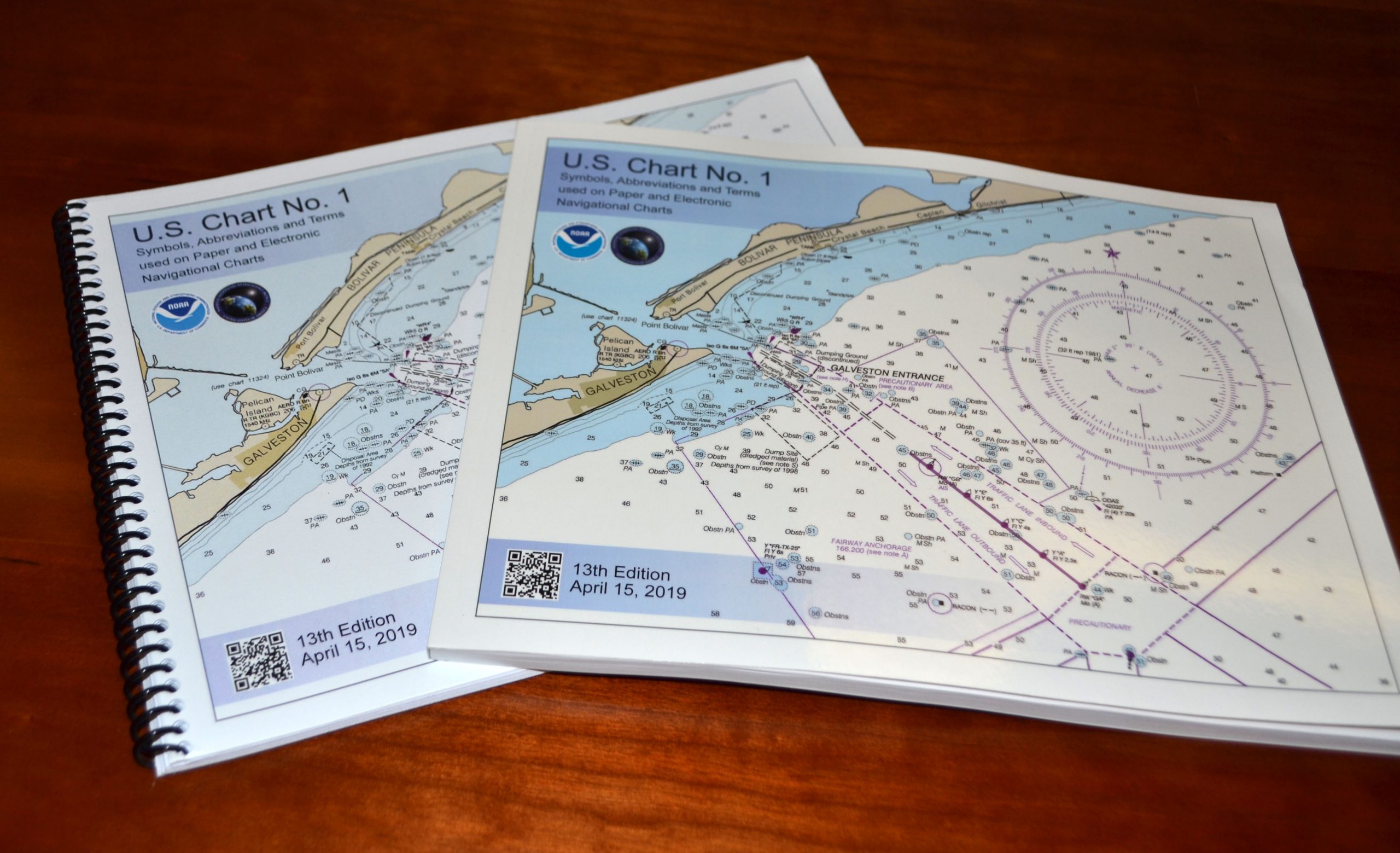
Edition 13 of U.S. Chart No. 1 is now available to download for free on Coast Survey’s website. Paper copies may also be purchased from any of four NOAA Chart No. 1 publishing agents.
This 130-page book describes the symbols, abbreviations, and terms used on paper NOAA nautical charts and for displaying NOAA electronic navigational chart (NOAA ENC®) data on Electronic Chart Display and Information Systems (ECDIS). The document also shows paper chart symbols used by the National Geospatial-Intelligence Agency and symbols specified by the International Hydrographic Organization.
Continue reading “NOAA releases new edition of nautical chart symbol guide”NOAA encourages all mariners to use NOAA ENC® for latest updates and other advantages
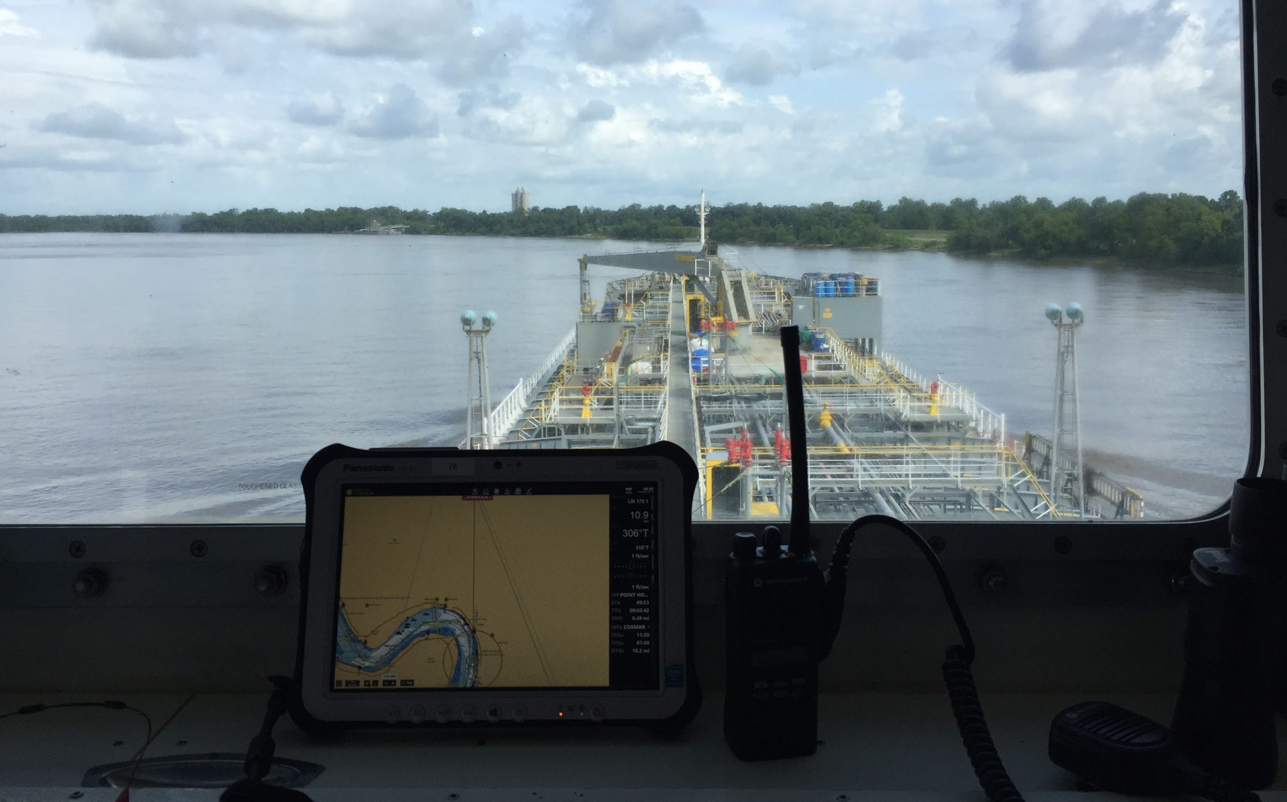
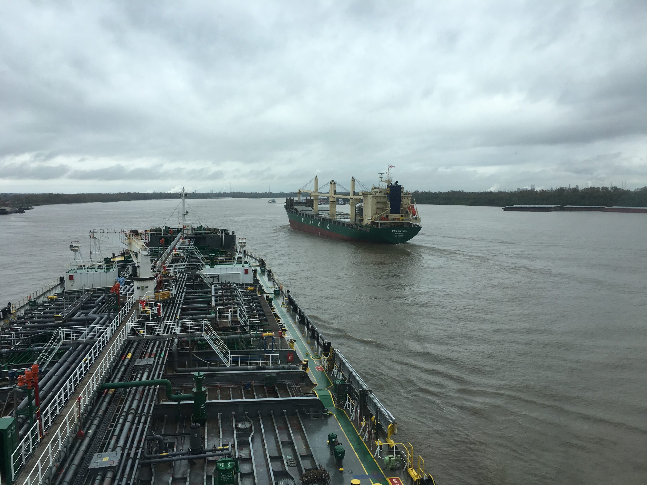
NOAA’s Office of Coast Survey maintains a suite of over 1,000 NOAA electronic navigational charts (ENC) and paper nautical charts, and like many other chart producing nations, maintains an ENC focused production process called “ENC-first.” That is, ENCs are the “first” or primary nautical product, and new data is compiled onto ENCs before all other products.
Continue reading “NOAA encourages all mariners to use NOAA ENC® for latest updates and other advantages”NOAA Improves Etolin Strait Data with New NOAA ENC® Layout
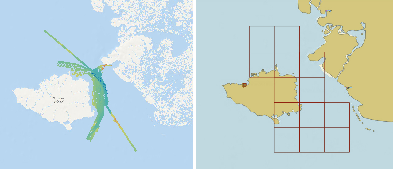
NOAA recently released 13 new large-scale electronic navigational charts (NOAA ENC®) of Etolin Strait, Alaska. These charts provide a nearly twenty-fold increase in scale over the previous ENC coverage. New Etolin Strait hydrographic surveys and the resulting ENCs served as a pilot project for the overall rescheming of the entire NOAA ENC suite with a regular, gridded layout for ENC charts, as outlined in NOAA’s National Charting Plan. No corresponding NOAA raster nautical chart products in Etolin Strait will be produced. This is in keeping with Coast Survey’s “ENC-only” production concept, which generally maintains the current raster chart product coverage, but only creates new larger scale coverage in the ENC product line.
Continue reading “NOAA Improves Etolin Strait Data with New NOAA ENC® Layout”
NOAA announces change in channel depths on raster nautical chart products
NOAA’s Office of Coast Survey recently announced plans to change the U.S. Army Corps of Engineers (USACE) maintained channel depth values on raster nautical chart products, which include paper nautical charts and the corresponding digital raster navigational charts (NOAA RNC®). Minimum depths (also called controlling depths) are collected during periodic USACE sonar surveys of channels. In the past, these depths were provided on raster charts, but controlling depths will now be replaced with the original channel design dredging depths used by the USACE (called project depths). Standardizing depth presentation on these products will improve data consistency and overall safety. Implementation begins in early 2019.
Continue reading “NOAA announces change in channel depths on raster nautical chart products”NOAA hosts Navigation Industry Day 2018
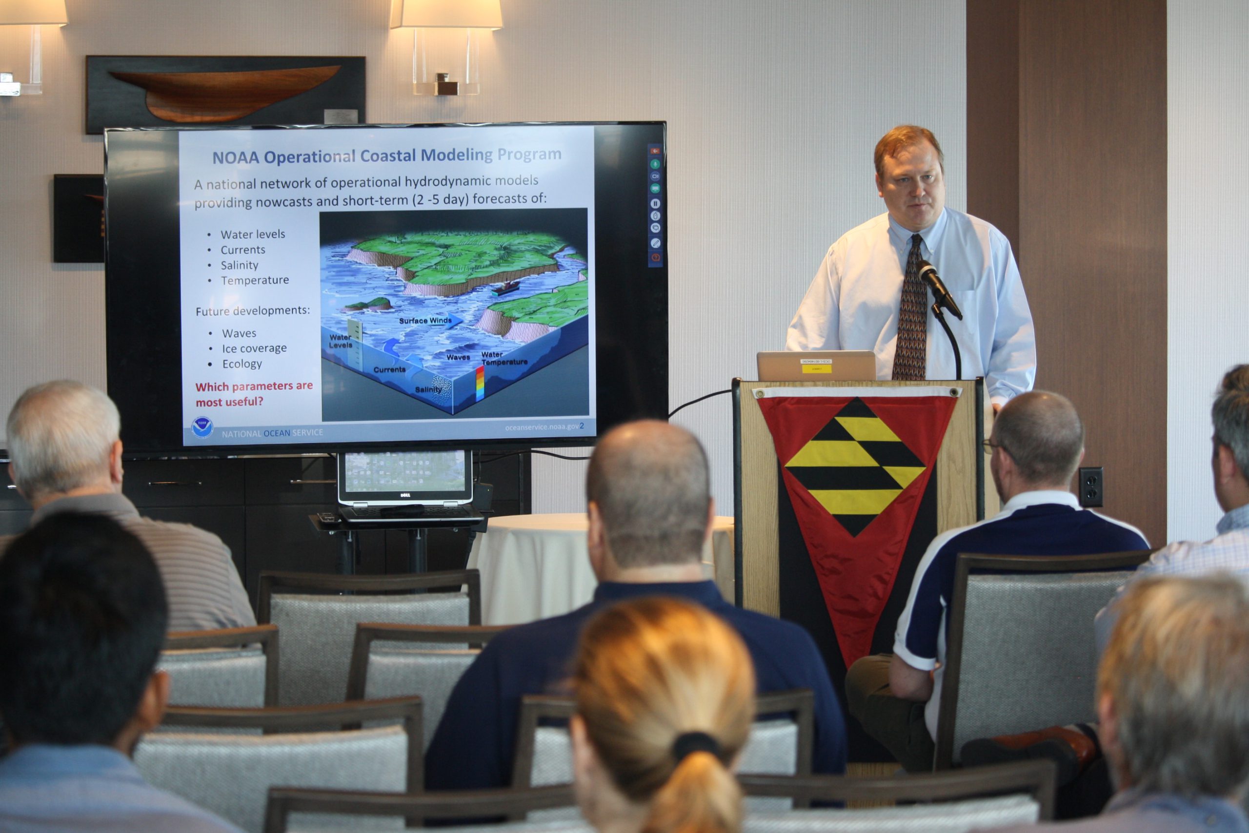
NOAA recently hosted its fourth NOAA Navigation Industry Day at the Annapolis Yacht Club adjacent to this year’s Annapolis Boat Show. This annual event welcomed maritime application and navigation system developers interested in learning about the latest freely-available navigation-related data streams, models, and products that NOAA offers. Continue reading “NOAA hosts Navigation Industry Day 2018”
NOAA welcomes local and international attendees at 2018 Nautical Cartography Open House
Last week NOAA Coast Survey welcomed approximately 170 attendees representing 17 countries to the 2018 Nautical Cartography Open House. Industry partners, members of the public, and other government agencies attended, including the Bureau of Ocean Energy Management, Naval Hydrographic and Oceanic Service (SHOM) from France, Canadian Hydrographic Service, Dalian Naval Academy, National Taiwan Ocean University, and the Joint Hydrographic Center/Center for Coastal and Ocean Mapping (JHC/CCOM).
Continue reading “NOAA welcomes local and international attendees at 2018 Nautical Cartography Open House”
Poster symposium marks milestone for inaugural class of the NOAA certification program in nautical cartography

Students of NOAA’s certification program in nautical cartography completed their final projects and presented them along with other Master of Professional Studies in GIS students during a poster symposium at the University of Maryland’s Department of Geographical Sciences. At the event, NOAA students explained their capstone projects and described how their research benefits nautical charting at NOAA. Project topics included:
- Improving Shoreline Application to NOAA Electronic Navigational Charts, Megan Bartlet
- An Automated Approach to Generate Nautical Vector Features from Raster Bathymetric Attributed Grid Data, Noel Dyer
- Developing a Rasterization Procedure for Vector Chart Data, Christie Ence
- NOAA Chart Discrepancies: A Temporal and Spatial Analysis for Navigation Response Teams, Lt. Cmdr. Matt Forney
- Airborne Lidar Bathymetry’s Impact on NOAA Charts, Andres Garrido
- Validating and Refining the Proposed Rescheming of NOAA Electronic Navigational Charts, Colby Harmon
- High Resolution Bathymetry as an Alternative to Charting Controlling Depths in U.S. Army Corps of Engineers Channels, Craig Winn
- Satellite Derived Bathymetry: An Alternative Analysis to Nautical Chart Updates, Aleah Worthem

