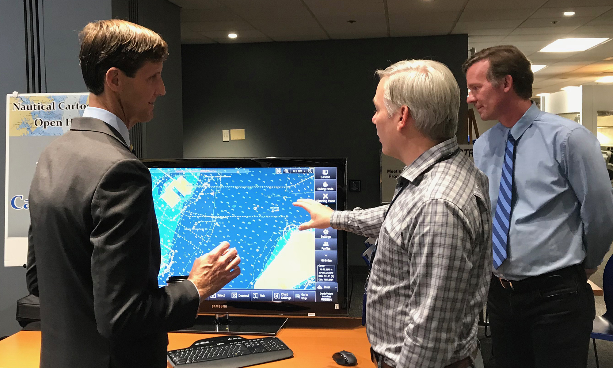
Last week NOAA Coast Survey welcomed approximately 170 attendees representing 17 countries to the 2018 Nautical Cartography Open House. Industry partners, members of the public, and other government agencies attended, including the Bureau of Ocean Energy Management, Naval Hydrographic and Oceanic Service (SHOM) from France, Canadian Hydrographic Service, Dalian Naval Academy, National Taiwan Ocean University, and the Joint Hydrographic Center/Center for Coastal and Ocean Mapping (JHC/CCOM).
This one-day event featured posters, presentations, tours, and exhibits centered around four themes: Applied Cartography within the U.S., International Cartography, Electronic Navigational Chart Production and Validation, and Capacity Building. Capt. Marc van der Donck from the Royal Netherlands Navy gave the keynote speech, and Coast Survey’s Rear Adm. Shep Smith welcomed the attendees.

The 2018 open house built on the success of last year’s inaugural event. This year, the event included informational stations on historic pen and ink cartographic processes as well as modern cartographic techniques and displays. Attendees were also able to join tours of NOAA Science on the Sphere® and see cartographic visualizations of oceanic and atmospheric data.

The goals of open house were to report on current and future activities in cartography and GIS, establish a regional and international network of cartographers in the field of nautical charting, create collaborative activities between international members, and identify challenges in generating, producing, maintaining, and distributing nautical charts. The open house provided the opportunity for international colleagues in marine cartography to network and share ideas.

The open house followed the International Cartographic Association (ICA) Working Group on Marine Cartography meeting and a three-day Chart Adequacy Workshop hosted by NOAA.

News and Updates
