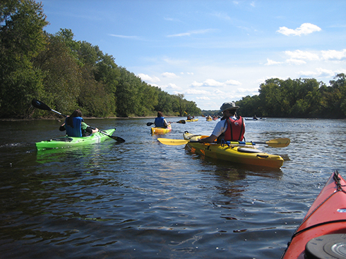
It is not an exaggeration to say that ALL types of vessels use NOAA charts. We know that large commercial ships, such as tankers and freighters, rely on NOAA charts in U.S. waters, and for that matter, so do recreational boaters. But kayakers? Some of the most enthusiastic and appreciative comments we receive are sent to us by kayakers. The following are a few examples. Continue reading “Tankers, Freighters, and….Kayaks?”
NOAA Improves Etolin Strait Data with New NOAA ENC® Layout
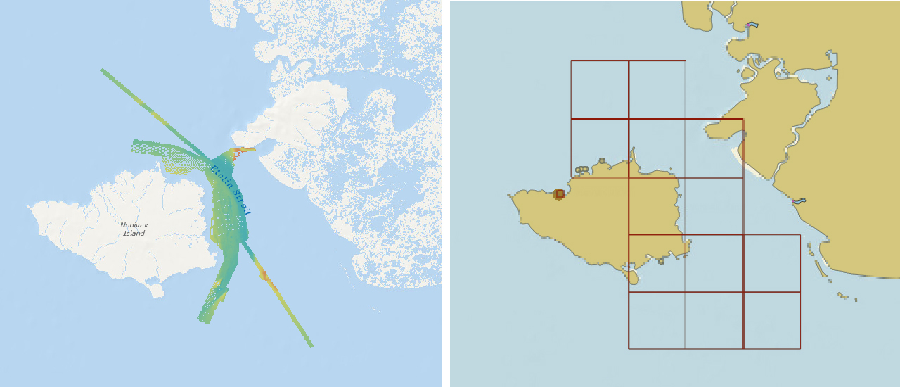
NOAA recently released 13 new large-scale electronic navigational charts (NOAA ENC®) of Etolin Strait, Alaska. These charts provide a nearly twenty-fold increase in scale over the previous ENC coverage. New Etolin Strait hydrographic surveys and the resulting ENCs served as a pilot project for the overall rescheming of the entire NOAA ENC suite with a regular, gridded layout for ENC charts, as outlined in NOAA’s National Charting Plan. No corresponding NOAA raster nautical chart products in Etolin Strait will be produced. This is in keeping with Coast Survey’s “ENC-only” production concept, which generally maintains the current raster chart product coverage, but only creates new larger scale coverage in the ENC product line.
Continue reading “NOAA Improves Etolin Strait Data with New NOAA ENC® Layout”
NOAA announces change in channel depths on raster nautical chart products
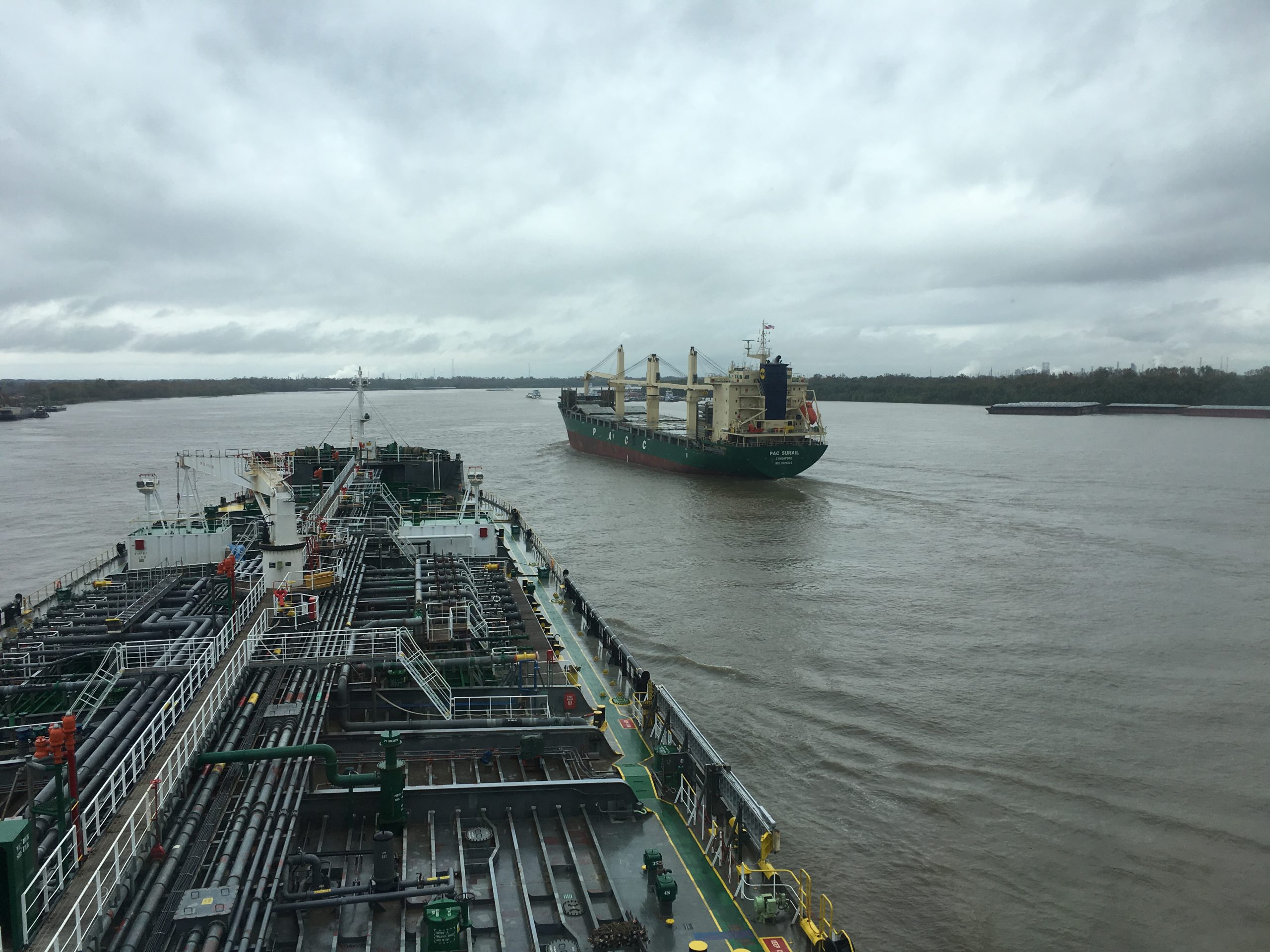
NOAA’s Office of Coast Survey recently announced plans to change the U.S. Army Corps of Engineers (USACE) maintained channel depth values on raster nautical chart products, which include paper nautical charts and the corresponding digital raster navigational charts (NOAA RNC®). Minimum depths (also called controlling depths) are collected during periodic USACE sonar surveys of channels. In the past, these depths were provided on raster charts, but controlling depths will now be replaced with the original channel design dredging depths used by the USACE (called project depths). Standardizing depth presentation on these products will improve data consistency and overall safety. Implementation begins in early 2019.
Continue reading “NOAA announces change in channel depths on raster nautical chart products”Coast Survey spotlight: Meet John Doroba
Ever wonder what it’s like to be a member of the NOAA Coast Survey team? We use the Coast Survey spotlight blog series as a way to periodically share the experiences of Coast Survey employees as they discuss their work, background, and advice.
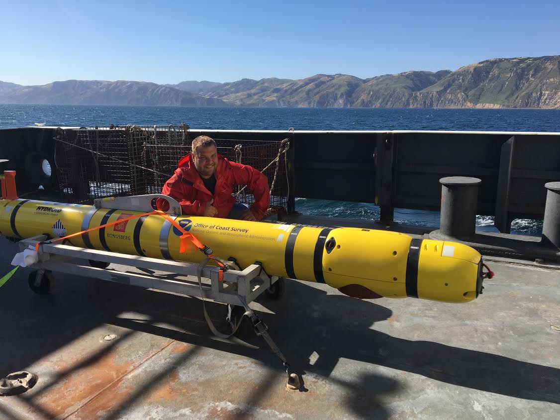
John Doroba, physical scientist
“Once I saw the mission I was hooked. It was the best job a recent graduate who loved being in the field could ask for, especially when you get to travel all around the country. Where else could I practice my love for science, utilize my education, solve real world problems that serve a purpose, and directly impact people in a positive way?”
NOAA Ship Thomas Jefferson tests drone use for shoreline mapping
By, Lt. j.g. Matt Sharr, NOAA, and Lt. Charles Wisotzkey, NOAA
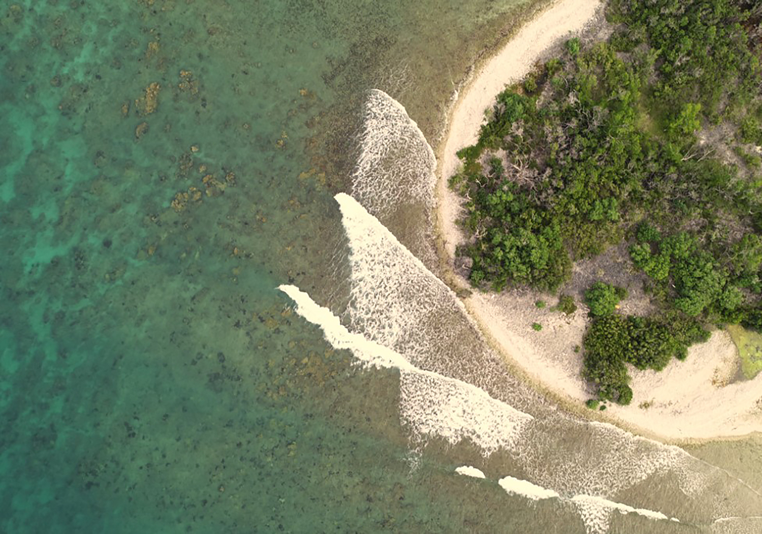
NOAA’s Office of Coast Survey and the National Geodetic Survey (NGS) recently conducted operational tests of small unmanned aerial systems — or drones — on board NOAA Ship Thomas Jefferson in support of survey operations conducted along the south coast of Puerto Rico. The tests show the potential of imagery from low-cost off-the-shelf drones to meet NOAA survey specifications for near-shore and shoreline feature mapping. This could replace traditional shoreline verification and mapping techniques used by NOAA hydrographic survey field units. Potential benefits of using drones for shoreline mapping include: improved data collection efficiency compared to data collection from small skiffs; more accurate feature investigation than traditional techniques; and, most importantly, removal of personnel from potentially dangerous situations (i.e. survey in close proximity to features being mapped). Continue reading “NOAA Ship Thomas Jefferson tests drone use for shoreline mapping”
NOAA makes it easier to submit a comment or report a nautical chart error
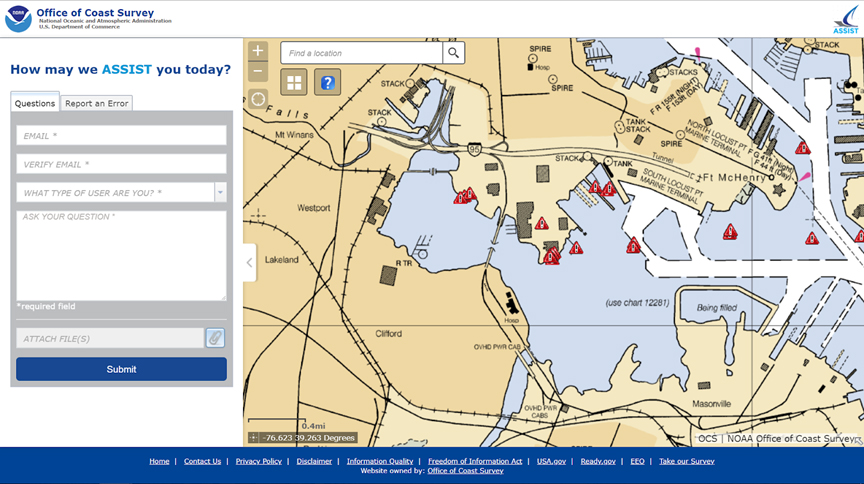
On November 16, 2018, NOAA released ASSIST, a new system for submitting questions and reporting nautical chart errors to NOAA’s Office of Coast Survey. ASSIST has a mobile-friendly design and improved user interface that allows customers to access the system conveniently from any device. This new tool replaces Coast Survey’s Inquiry and Discrepancy Management System (IDMS), a database that collected nearly 20,000 comments, inquiries, and discrepancy reports since 2008. ASSIST is available from: https://www.nauticalcharts.noaa.gov/customer-service/assist/ Continue reading “NOAA makes it easier to submit a comment or report a nautical chart error”
Coast Survey spotlight: Meet Tsering Chuki
Ever wonder what it’s like to be a member of the NOAA Coast Survey team? We use the Coast Survey spotlight blog series as a way to periodically share the experiences of Coast Survey employees as they discuss their work, background, and advice.
Tsering Chuki, financial management specialist
“I find it rewarding when all our procurement actions are awarded on time and contracts are fully funded. By having fully funded contracts (software licenses, hardware, or manpower) our division is able to fulfill all the tasks skillfully and timely.”
Continue reading “Coast Survey spotlight: Meet Tsering Chuki”
NOAA preserves history of Washington, DC, with reproduced L’Enfant maps
By Capt. Albert “Skip” Theberge (NOAA, ret.)
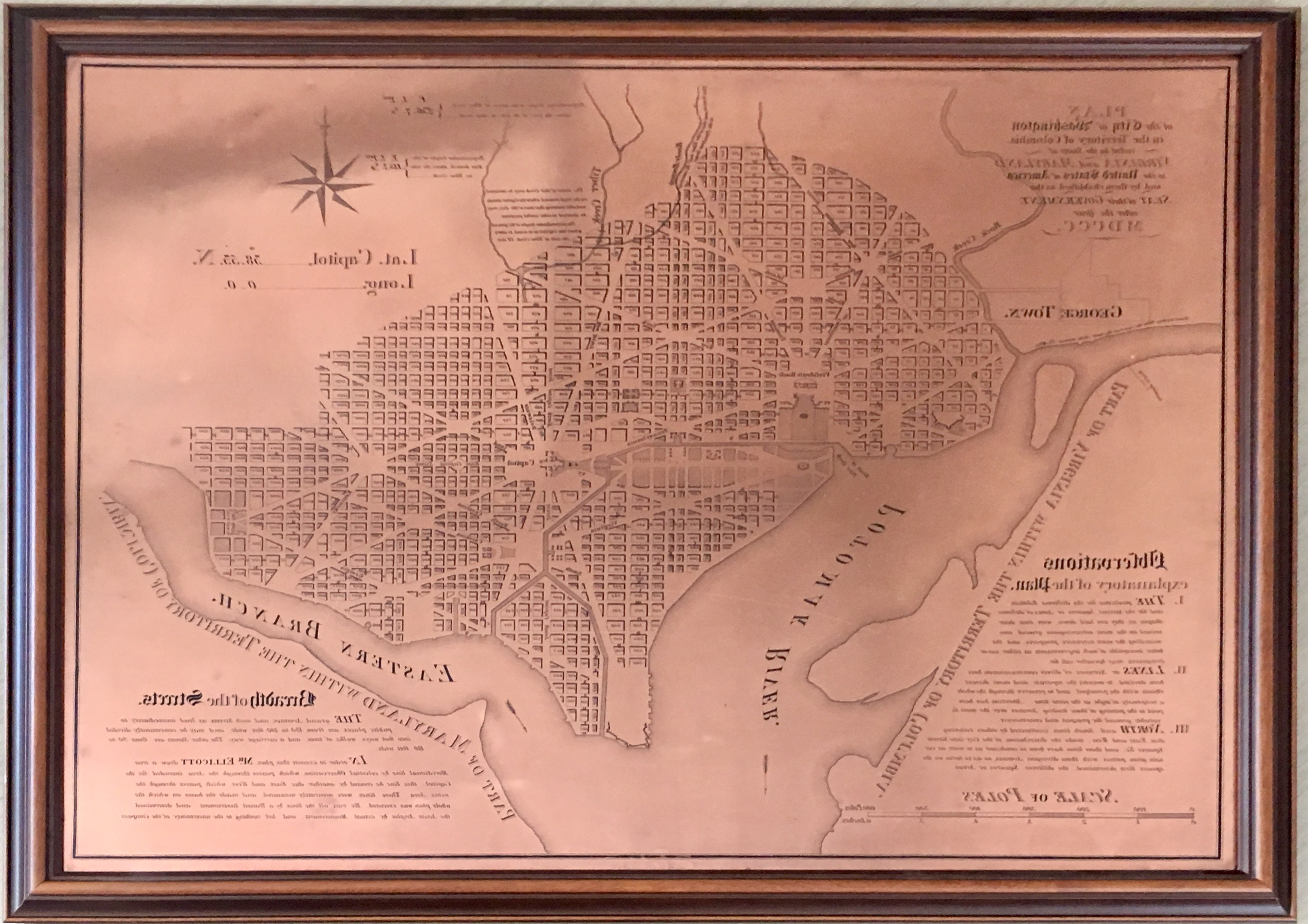
Research conducted by the NOAA Central Library uncovered a little known fact that NOAA Coast Survey’s skill in reproducing maps helped ensure that early maps of Washington, DC, and an interesting piece of history, weren’t lost. Coast Survey reproduced three historically significant maps from a copper plate engraving of Washington, DC, as surveyed by Pierre L’Enfant and Andrew Ellicott.
Continue reading “NOAA preserves history of Washington, DC, with reproduced L’Enfant maps”
Seismic inter-agency collaborations on NOAA Ship Rainier
By Ensign Airlie Pickett, NOAA
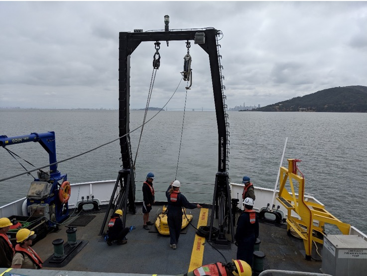
NOAA Ship Rainier spent September completing a multi-leg, joint collaboration project investigating deep offshore areas of the southern California coast. The U.S. Geological Survey (USGS) and Bureau of Ocean Energy Management (BOEM) partnered with NOAA to support a month-long mission to collect geophysical data along the outer continental shelf of California where the area in question features a number of different geologic structures and processes. Continue reading “Seismic inter-agency collaborations on NOAA Ship Rainier”
NOAA hosts Navigation Industry Day 2018
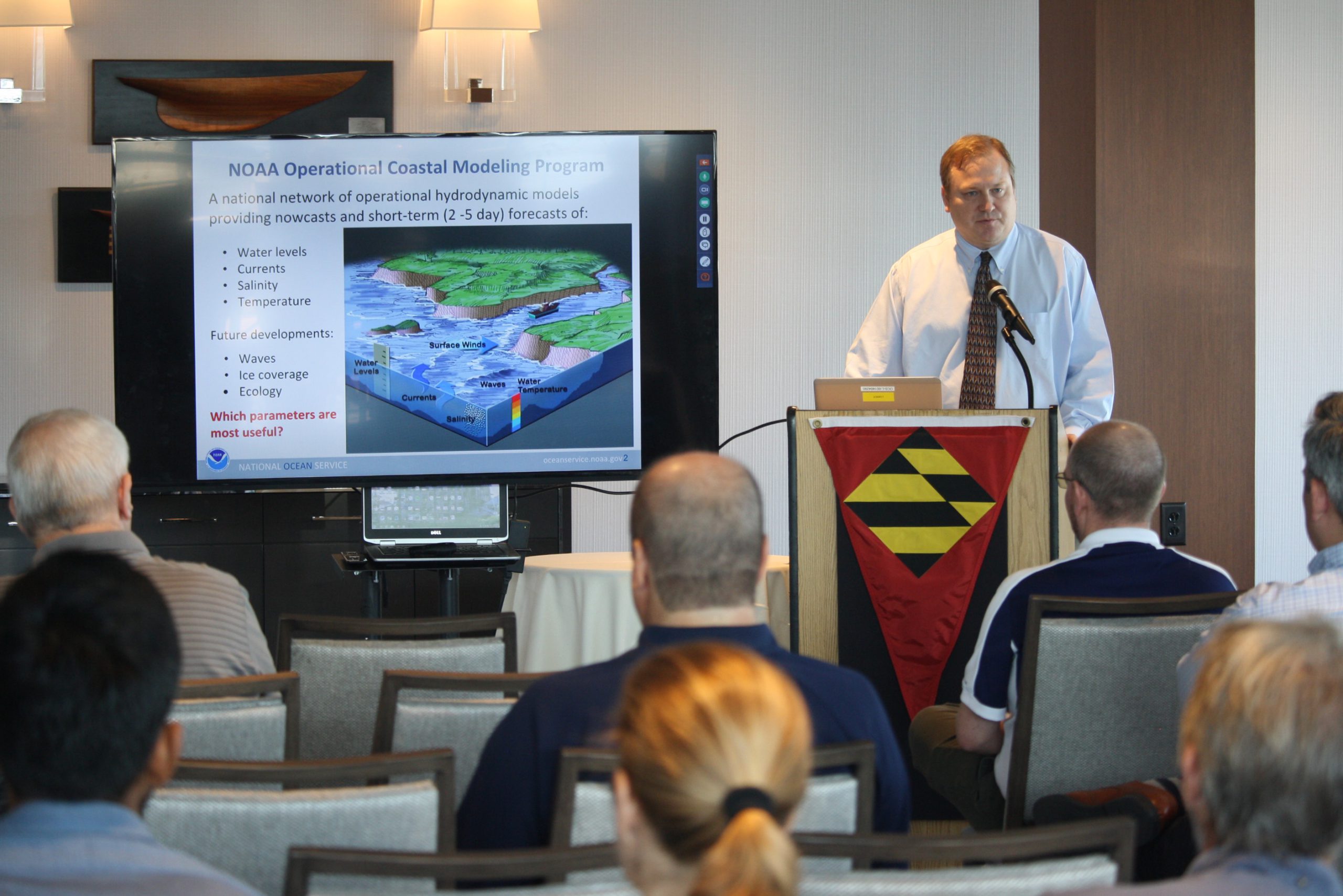
NOAA recently hosted its fourth NOAA Navigation Industry Day at the Annapolis Yacht Club adjacent to this year’s Annapolis Boat Show. This annual event welcomed maritime application and navigation system developers interested in learning about the latest freely-available navigation-related data streams, models, and products that NOAA offers. Continue reading “NOAA hosts Navigation Industry Day 2018”

