By Ensign Airlie Pickett, NOAA
NOAA Ship Rainier spent September completing a multi-leg, joint collaboration project investigating deep offshore areas of the southern California coast. The U.S. Geological Survey (USGS) and Bureau of Ocean Energy Management (BOEM) partnered with NOAA to support a month-long mission to collect geophysical data along the outer continental shelf of California where the area in question features a number of different geologic structures and processes.

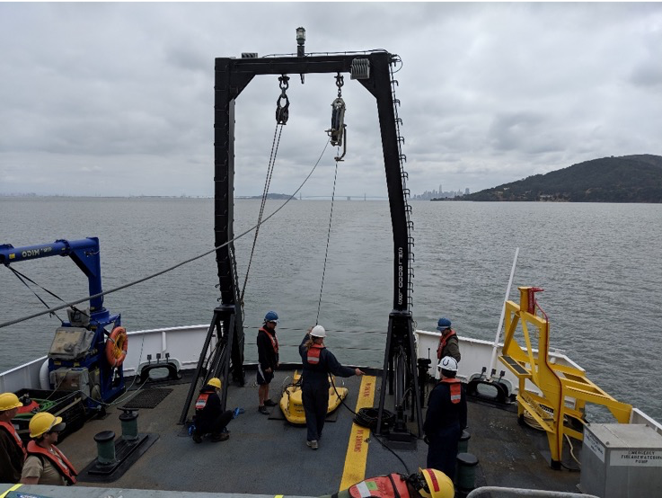
A team of USGS scientists was on board collecting subsurface seismic data bringing with them a wealth of experience and some exciting equipment for Rainier. In order to collect the seismic data, a sound wave of lower frequency and higher intensity (than what is used for bathymetry collection) must be generated. This enables the sound to penetrate through the material of the ocean floor and provide a snapshot of the layers and formations hiding below the surface. In addition, multibeam echo sounder mapping operations where conducted to collect bathymetry, acoustic backscatter data, and water column data.

Scientists will use this information to develop a greater understanding of the “geohazards” like submarine landslides and earthquakes in this region. NOAA will use the bathymetric data from this project to update nautical charting products in the area. This project also supports the Expanding Pacific Research and Exploration of Submerged Systems (EXPRESS) campaign, which comprises a large and diverse team of federal and non-federal partners targeting deepwater areas off of the U.S. Pacific coast.
 The USGS team with the “Chirp.” From left to right: Dr. Maureen Walton, Dr. Jared Kluesner, Jackson Currie, Dr. Guy Cochrane, Dan Kennedy, Ray Sliter. Credit: Dr. Maureen Walton, USGS

The bathymetry and seismic data collected during this project revealed a number of underwater channels in the seabed that transport sediment. Pockmarks in the northern part of the survey area are being investigated as potential methane seeps.

Credit: USGS
BOEM is investigating the survey site as a potential location for offshore alternative energy projects and infrastructure; specifically, floating wind farms. BOEM will consider the fault lines, landslides, and other “geohazards” located by Rainier’s work in choosing potential locations. The southern California coast experiences high velocity winds throughout the year, making wind farms a viable option for large-scale energy production.

On an aside, during the first leg of the project, the U.S. Coast Guard requested that Rainier divert to assist a disabled sailing vessel caught in 8-10’ seas approximately 30 miles from shore. Rainier passed a tow line over and successfully towed the sailboat to sheltered waters and to an awaiting commercial salvage vessel. Rainier was proud to be of service to our USCG partners, and glad that the incident ended safely for the master of the disabled vessel.

