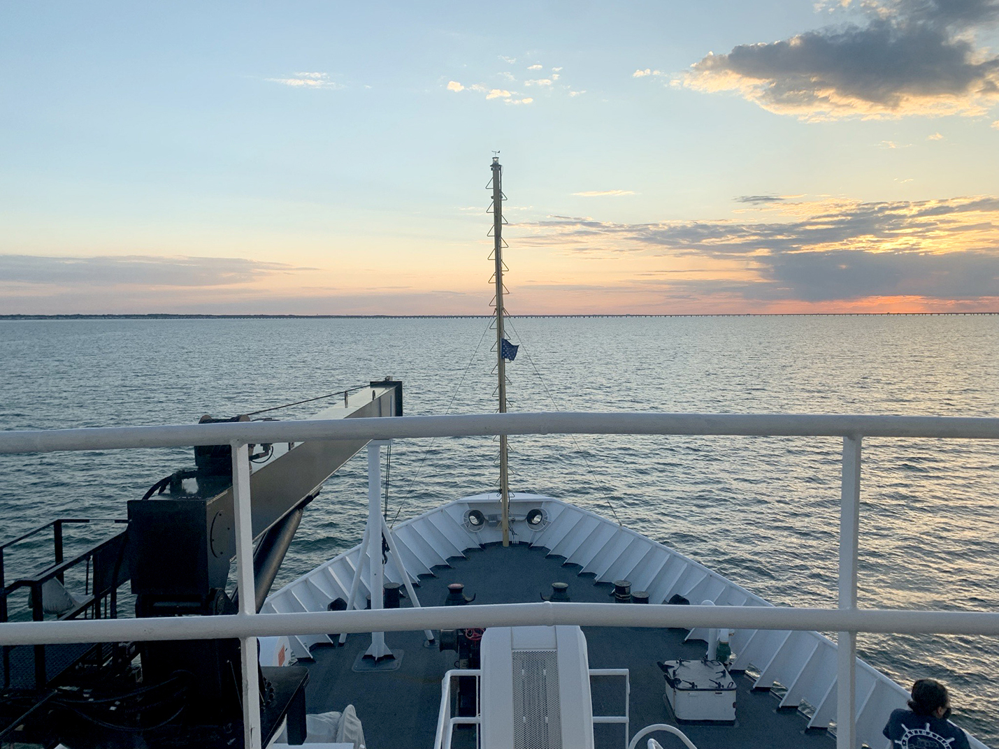
After a busy winter in port, NOAA Ship Thomas Jefferson started the 2021 field season in familiar waters, returning to survey the approaches of the Chesapeake Bay. Towards the end of the 2020 field season, the crew of the Thomas Jefferson spent their first 45-day “COVID-19 bubble” on this project. A bubble is formed when crew quarantine and test for COVID-19 prior to crewing the ship, staying isolated onboard until the end of the 45-day period. This protocol is part of the Office of Marine and Aviation Operations (OMAO) COVID-19 mitigation strategy. In April and May of 2021 Thomas Jefferson spent an additional 28 days surveying an area approximately 40 nautical miles east of Virginia Beach, Virginia.
NOAA’s Office of Coast Survey is the nation’s nautical chartmaker, and maintains a suite of more than a thousand nautical charts. Coast Survey is responsible for charting U.S. waters and Great Lakes covering 3.4 million square nautical miles (SNM) of water and 95,000 miles of coastline.
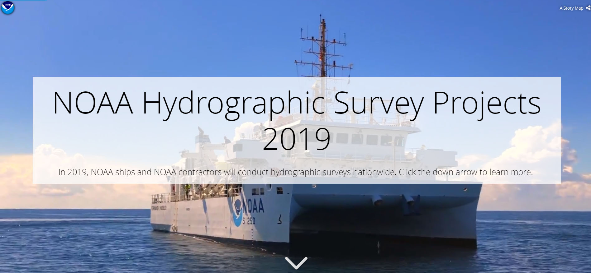
NOAA’s hydrographic survey ships along with hydrographic contractor vessels,recently kicked off the 2019 hydrographic survey season. These surveys not only update the suite of nautical charts, but also help to maintain the safety of maritime commerce, recreational boaters, natural ecosystems, and much more. Operations are scheduled for maritime priority areas around the country and are outlined in Coast Survey’s “living” story map. Here is a list of where they are headed this year:
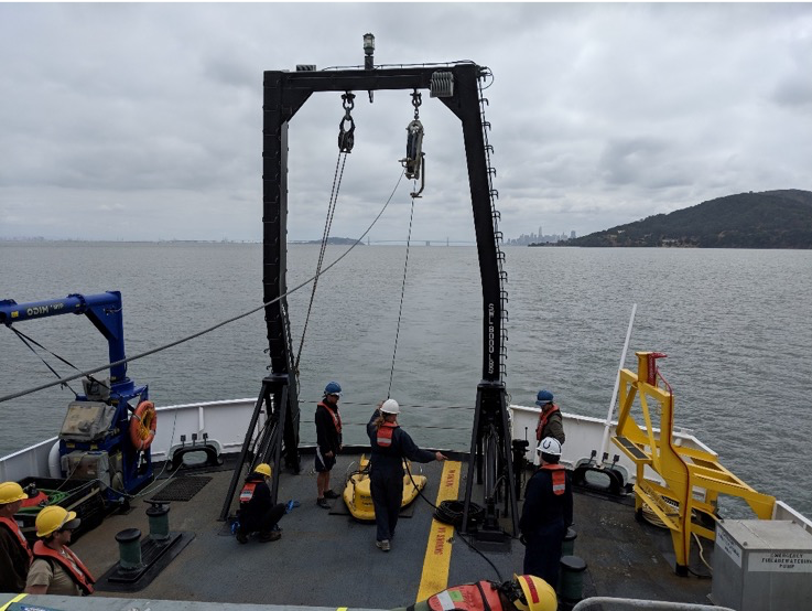
NOAA Ship Rainier spent September completing a multi-leg, joint collaboration project investigating deep offshore areas of the southern California coast. The U.S. Geological Survey (USGS) and Bureau of Ocean Energy Management (BOEM) partnered with NOAA to support a month-long mission to collect geophysical data along the outer continental shelf of California where the area in question features a number of different geologic structures and processes.
By David McIntire, survey technician, Coast Survey Navigation Response Team 4
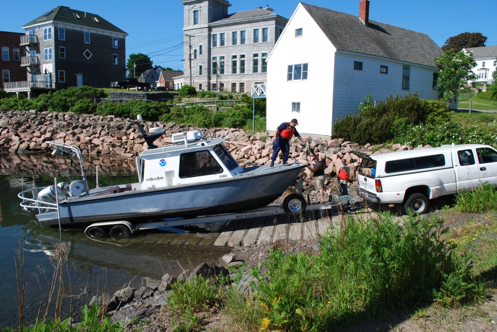
Down East Maine. For many, this conjures up imagery of rugged, fog-enshrouded coastline carved for centuries by relentless waves and violent nor’easters, where quaint fishing villages and misty lighthouses hug the shoreline, inhabited by hardy mariners who for generations have braved fierce storms and unimaginable winters to make a living where land and sea meet in perhaps the most spectacular way. Yet this is only part of the story where a nostalgic past embraces an innovative future. Eastport, Maine is no exception and NOAA’s Office of Coast Survey is proud to partner in that endeavor.
Fishing has been the lifeblood of Eastport’s economy for generations and, despite the influx of tourism in recent decades, many Down East families still derive their income from the sea. This may sound quaint and romantic, until you realize that the Bay of Fundy is not the idyllic, placid water of postcards and paintings. With tides ranging nearly 30 feet every few hours, inlets become rife with ripping currents as the back bays fill and empty through these narrow, rocky channels. It is within this treacherous environment that the local commercial fishermen risk their lives – and, over the past decade, a number of them have paid the ultimate price. A navigation response team deployed to Maine’s dangerous Cobscook Bay in 2010. The Eastport fishing community asked for full bottom surveys and updates to nautical charts after several men lost their lives when their boats capsized. Continue reading “Surveys for Maine fishing community buttress new energy technology”