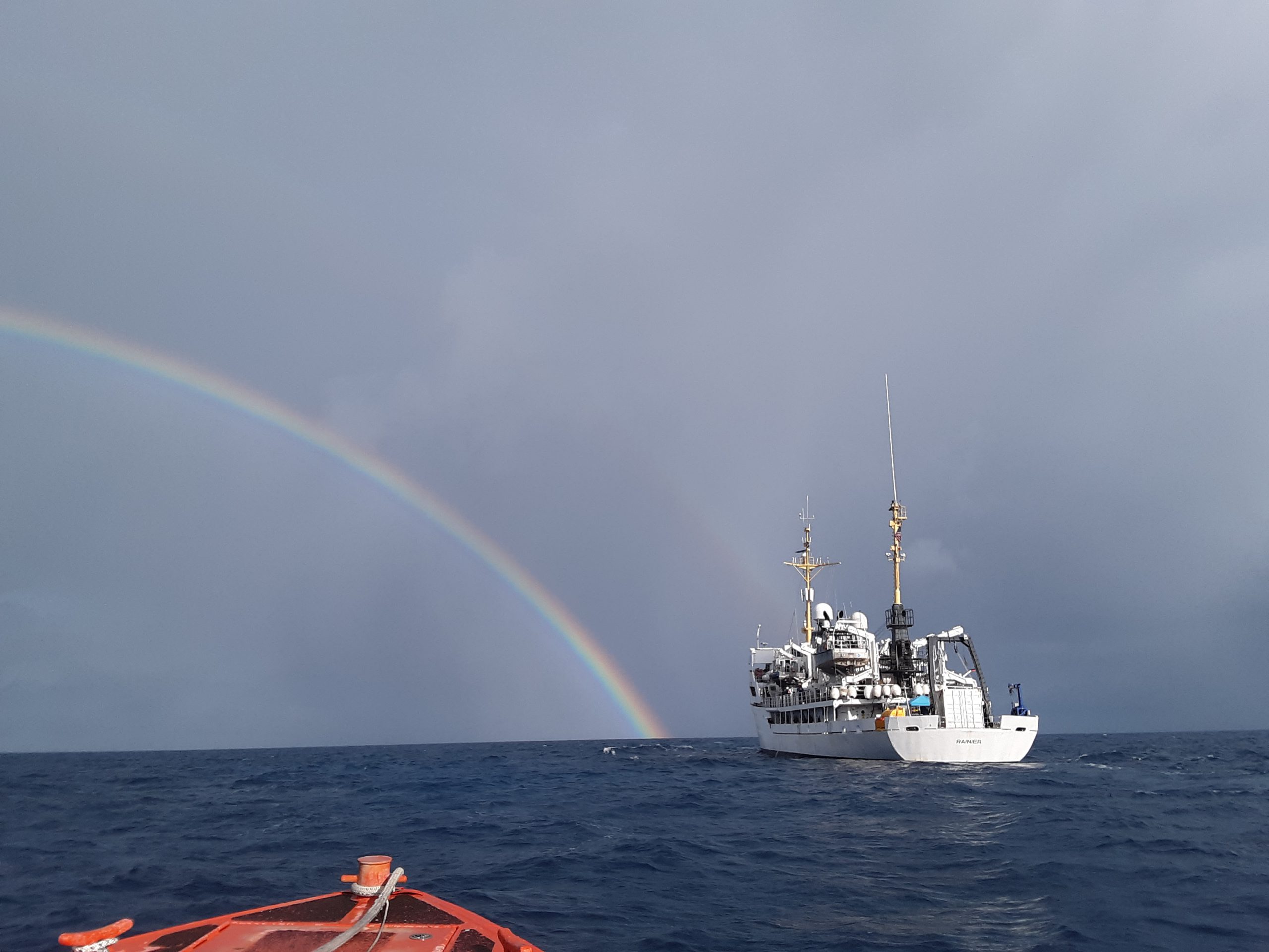
In three weeks, NOAA Ship Rainier will depart on the farthest journey of its 52-year history as it embarks on a multidisciplinary mapping trip to the Western Pacific. Rainier and a diverse team of scientists on board will map the waters from shore to almost 2000 meters deep around Guam and the Commonwealth of the Northern Mariana Islands including Saipan, Rota, and Tinian. The data and observations collected will support safe navigation, coral habitat and fisheries conservation, and storm surge and tsunamis modeling. The data will also be made available to those at the local level and contribute to the larger national and global initiatives regarding comprehensive seafloor mapping.
Continue reading “NOAA ship readies for historic deployment to the Western Pacific to map the oceans”NOAA hydrographic community prepares for field season at annual workshop
The field of hydrography, like most sciences, is comprised of experts honing their craft, improving their tools, building upon the successes of previous years, and learning from their mistakes. Hydrographers typically accomplish this iterative process in the field, publishing papers, presenting at industry conferences, and often through discussions over the phone or via email. However, once a year, the NOAA hydrographic community — those who measure and describe the features of the seafloor to update nautical charts and support a variety of sciences — meets at the Field Procedures Workshop to not only share information, but have frank discussions about their challenges and the path forward in preparation for the upcoming hydrographic field season.
Continue reading “NOAA hydrographic community prepares for field season at annual workshop”NOAA releases 2020 hydrographic survey season plans
NOAA hydrographic survey ships and contractors are preparing for the 2020 hydrographic survey season. The ships collect bathymetric data (i.e. map the seafloor) to support nautical charting, modeling, and research, but also collect other environmental data to support a variety of ecosystem sciences. NOAA considers hydrographic survey requests from stakeholders such as marine pilots, local port authorities, the Coast Guard, and the boating community, and also consider other hydrographic and NOAA science priorities in determining where to survey and when. Visit our “living” story map to find out more about our mapping projects and if a hydrographic vessel will be in your area this year!
Continue reading “NOAA releases 2020 hydrographic survey season plans”Change of command for NOAA Ship Rainier
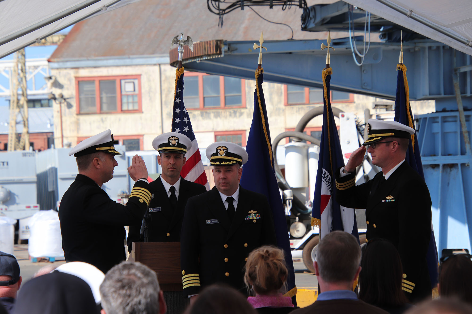
On November 15, 2019, the crew of NOAA Ship Rainier hosted a change of command in Valejo, California. Cmdr. Sam Greenaway accepted command of Rainier, relieving Capt. Ben Evans in a ceremony led by Capt. Michael Hopkins, commanding officer of NOAA’s Office of Marine and Aviation Operations (OMAO) Marine Operations Center-Pacific.
Continue reading “Change of command for NOAA Ship Rainier”NOAA Ship Rainier returns to survey the Hawaiian coast, provides update on lava flow development
By Ens. Harper Umfress
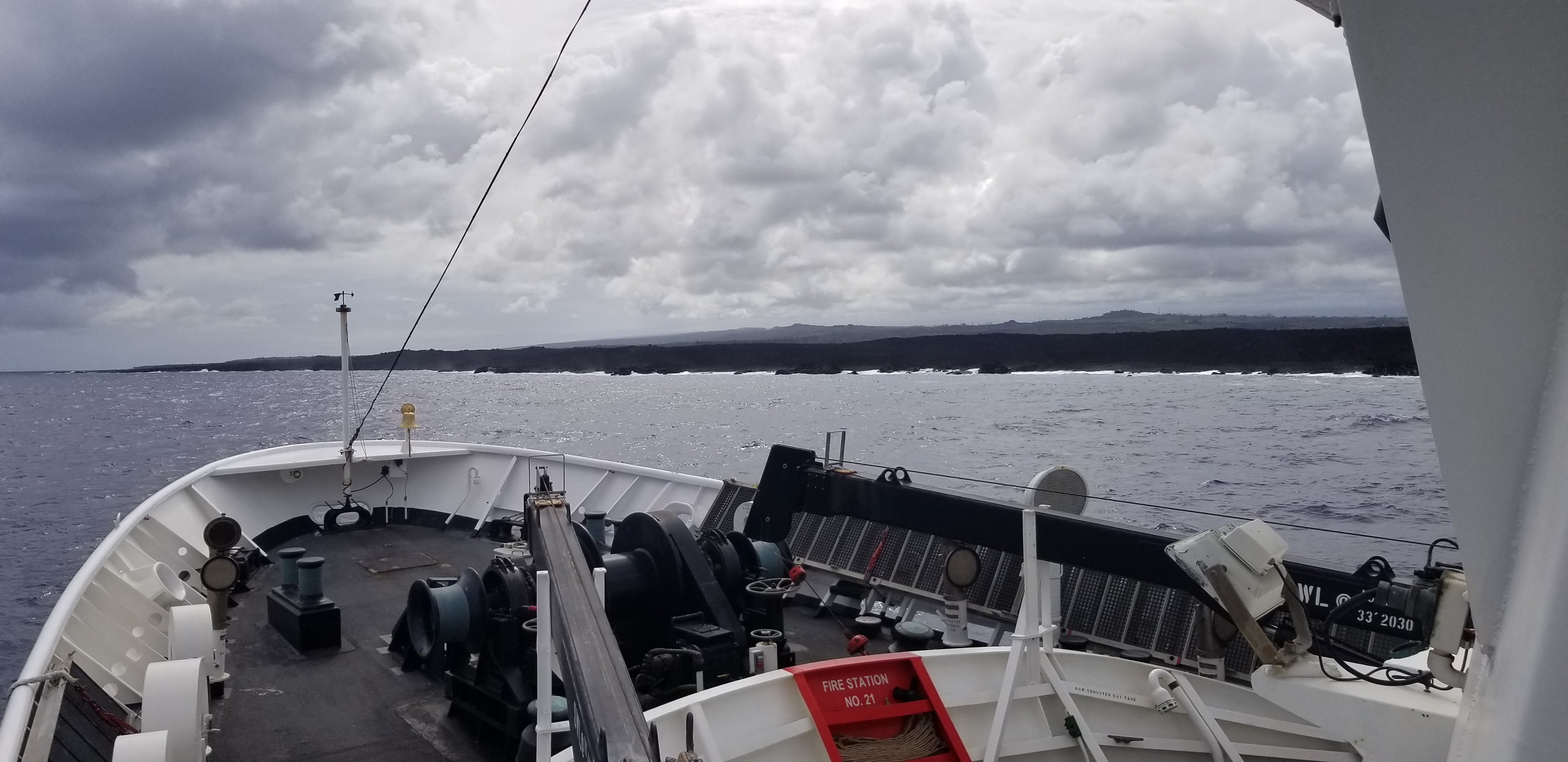
NOAA Ship Rainier’s four-decade tropical sonar silence is over and Hawaiian hydrography is back! The 2019 field season was productive, challenging, and geographically diverse. After starting the season with traditional hydrographic surveys in Alaska, Rainier was re-tasked to support science diving operations in the Papahānaumokuākea Marine National Monument that surrounds the Northwestern Hawaiian Islands. Though the primary purpose of this dispatch was to support coral reef research, the world’s most productive coastal hydrographic survey platform would have been remiss to forego this opportunity to ping new waters.
Continue reading “NOAA Ship Rainier returns to survey the Hawaiian coast, provides update on lava flow development”NOAA Ship Thomas Jefferson tests innovative DriX unmanned surface vehicle
By Ens. Taylor Krabiel
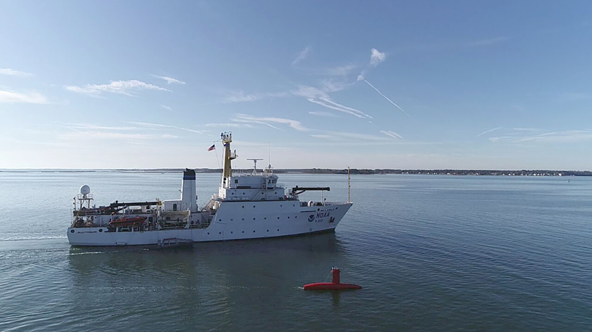
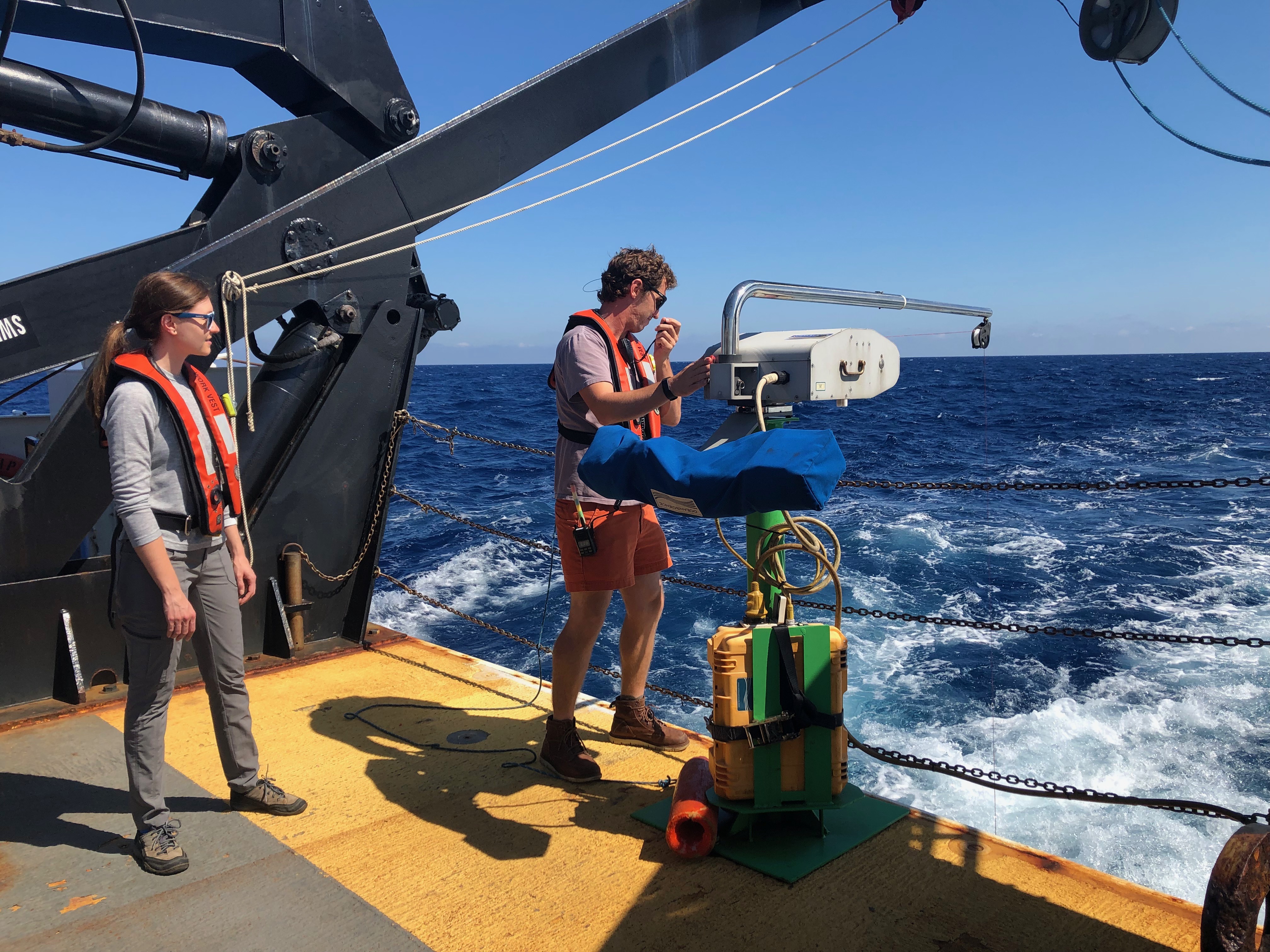
During the month of October, NOAA Ship Thomas Jefferson integrated and operated a DriX, an Unmanned Surface Vessel (USV) created by the French technology company iXblue. The primary goal of the project was to test iXblue’s unique deployment and recovery solution specifically designed for Thomas Jefferson’s on board survey launch davit. Survey launches are limited to daylight operations and deployment and recovery are the most challenging operations the ship undertakes. Utilizing a DriX for continuous survey operations without having to recover and/or service it for up to four days straight would significantly increase the ship’s efficiency.
Continue reading “NOAA Ship Thomas Jefferson tests innovative DriX unmanned surface vehicle”NOAA Ship Nancy Foster performs full-coverage mapping survey of Northern Blake Plateau
By Julia Wallace and Lt. j.g. Michelle Levano
NOAA Ship Nancy Foster conducted survey operations offshore of coastal South Carolina from August 12-30, 2019, as a joint effort between NOAA’s Office of Coast Survey and Office of Ocean Exploration and Research. This survey encompassed portions of the Blake Plateau, and was particularly special because this region has never been mapped using contemporary sonar systems. The project served Coast Survey’s mission of providing contemporary data to update nautical charting products and supported the U.S. contribution to Seabed 2030, a multi-national initiative to map the world ocean by 2030. NOAA’s contribution to this project includes providing continuous multibeam survey coverage within the U.S. Exclusive Economic Zone.
Continue reading “NOAA Ship Nancy Foster performs full-coverage mapping survey of Northern Blake Plateau”Hawaiian island surveys will update nautical charts and support habitat mapping efforts
By Ens. Lyle I. Robbins
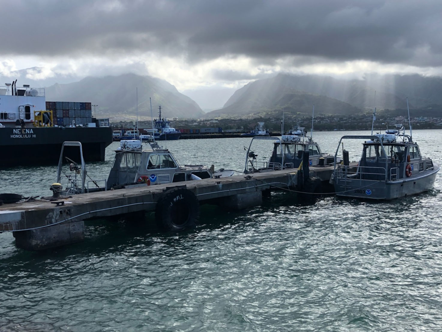
For more than 50 years, NOAA Ship Rainier and its hydrographic survey launches have surveyed the Pacific seafloor. During this time, Rainier sailed thousands of miles, including the entire U.S. west coast, Alaska, and Hawaii. This year, Rainier expands on its traditional role of hydrographic survey and is supporting dive operations in the Northwest Hawaiian Islands and in the Papahānaumokuākea Marine National Monument. While Rainier is sailing these remote coral atolls, the survey launches — that are usually in its davits and deployed directly from the ship — are tasked to their own surveys around the islands of Maui, Moloka’i, and O’ahu.
Continue reading “Hawaiian island surveys will update nautical charts and support habitat mapping efforts”NOAA Ship Rainier successfully field tests autonomous hydrographic survey launch
By Lt. j.g. Airlie Picket
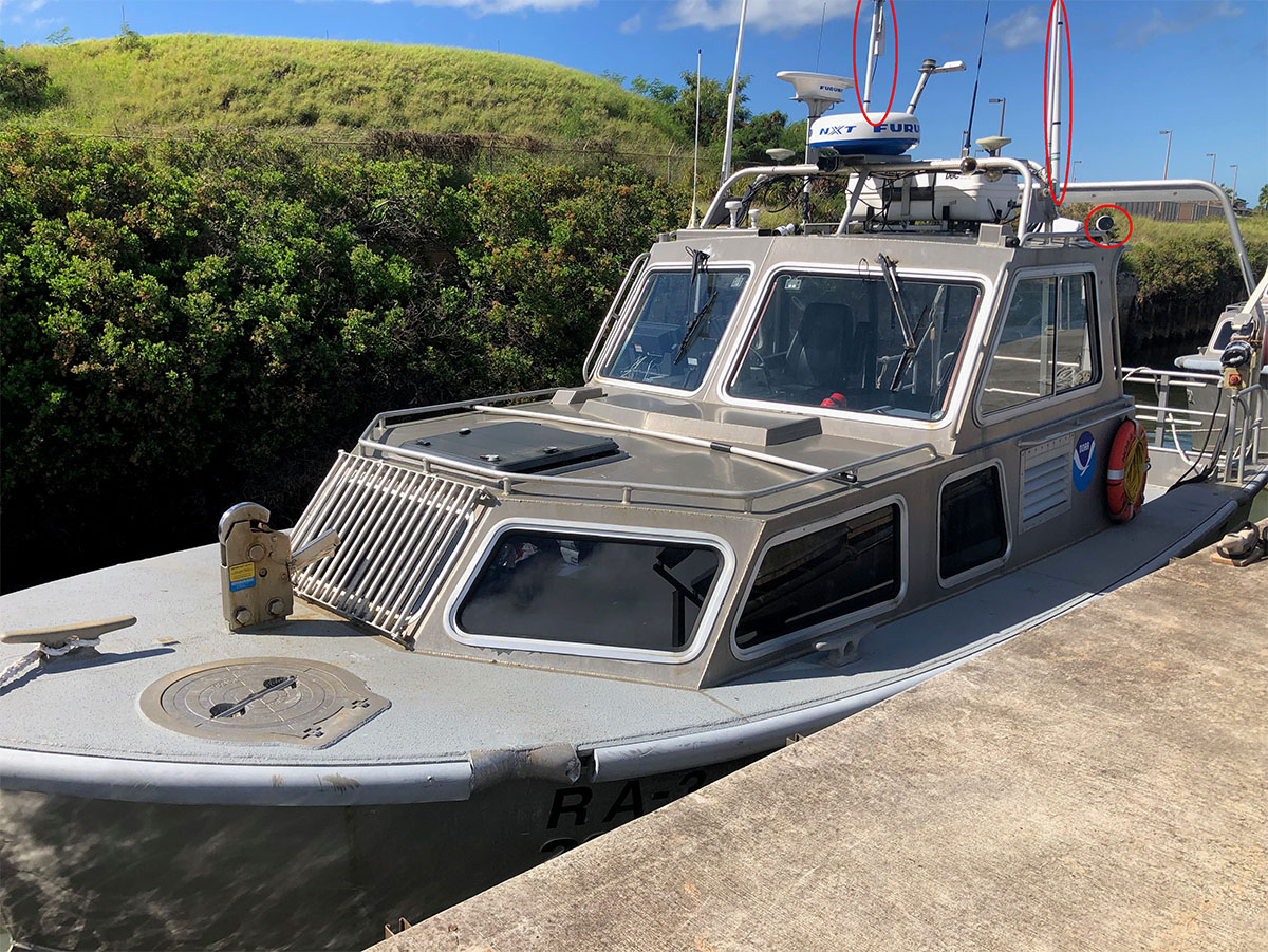
NOAA Ship Rainier field tested a new hydrographic survey platform this season. Last winter, one of the ship’s hydrographic survey launches was converted into a semi-autonomous vessel, allowing it to be operated remotely. Hydrographic surveying is, by nature, dangerous. Autonomous systems have the potential to augment traditional surveying methods, improving efficiency and decreasing (or eliminating) risk to the surveyors themselves. As such, this technology is an exciting step toward fully-autonomous hydrographic survey systems.
Continue reading “NOAA Ship Rainier successfully field tests autonomous hydrographic survey launch”From historic air disasters to hurricane response, NOAA uses cutting edge science to survey the seafloor
By Christine Burns
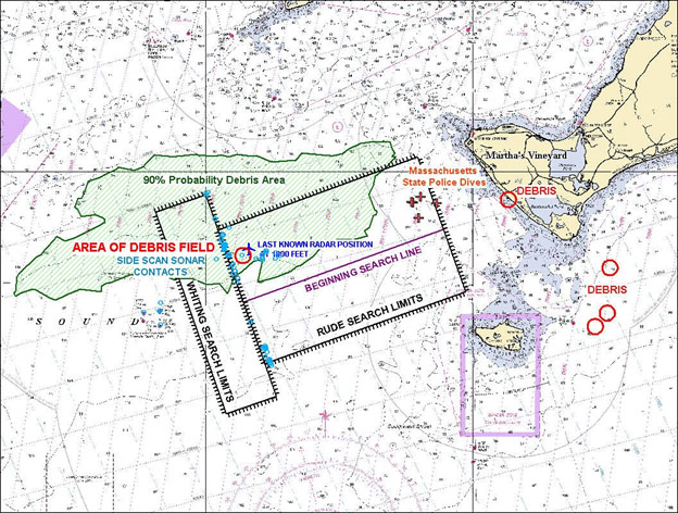
Hydrographic surveying continually evolves to improve safety, efficiency, and accuracy in data collection. From using side scan sonar equipment during hydrographic survey response efforts following air disasters in the late 1990s, to recent hurricane response efforts to re-open ports to maritime commerce, our science always strives to be cutting edge.
Continue reading “From historic air disasters to hurricane response, NOAA uses cutting edge science to survey the seafloor”
