Learning the ropes aboard a NOAA hydrographic survey vessel

By Natalie Cook

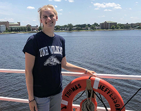
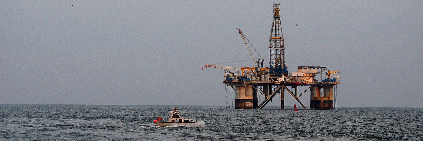
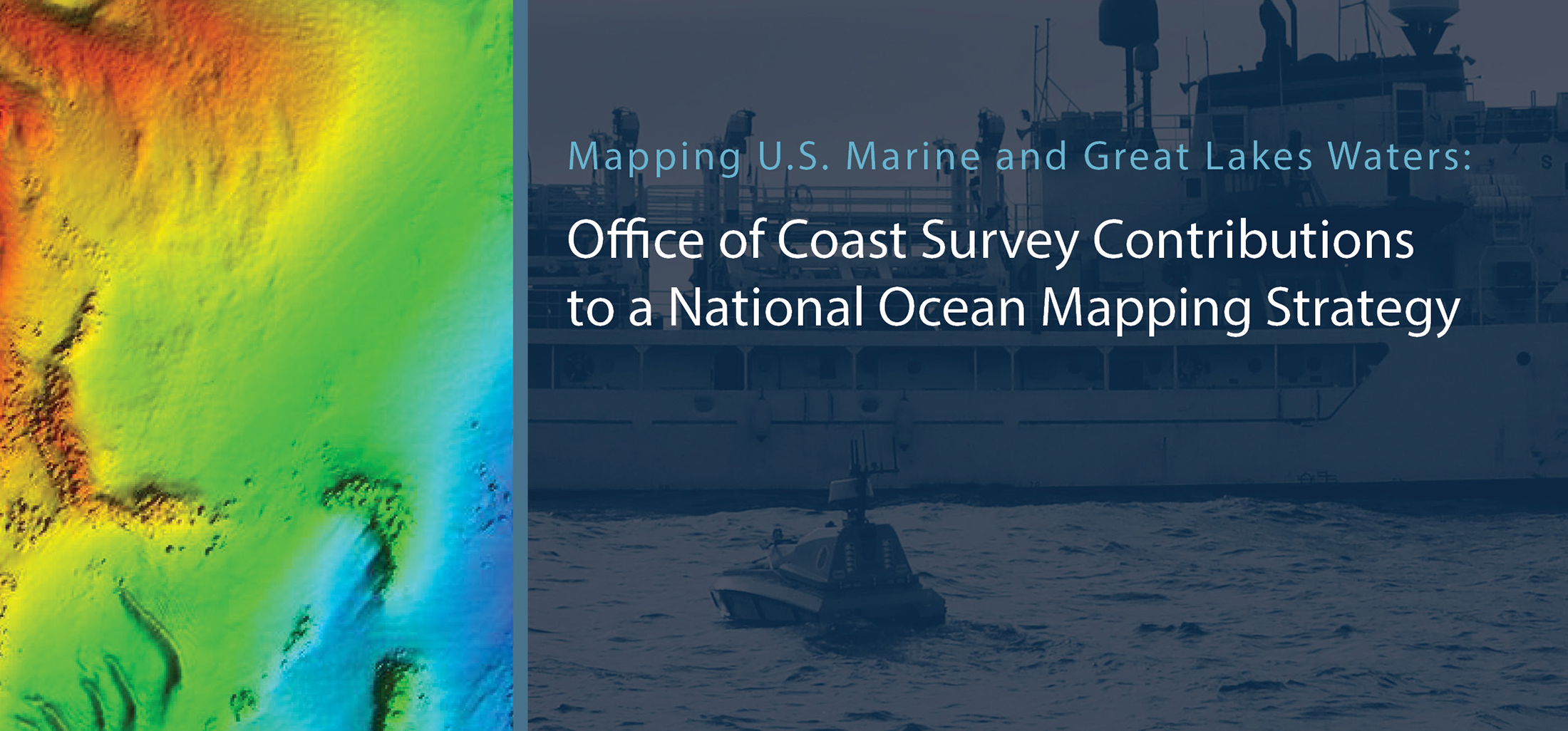
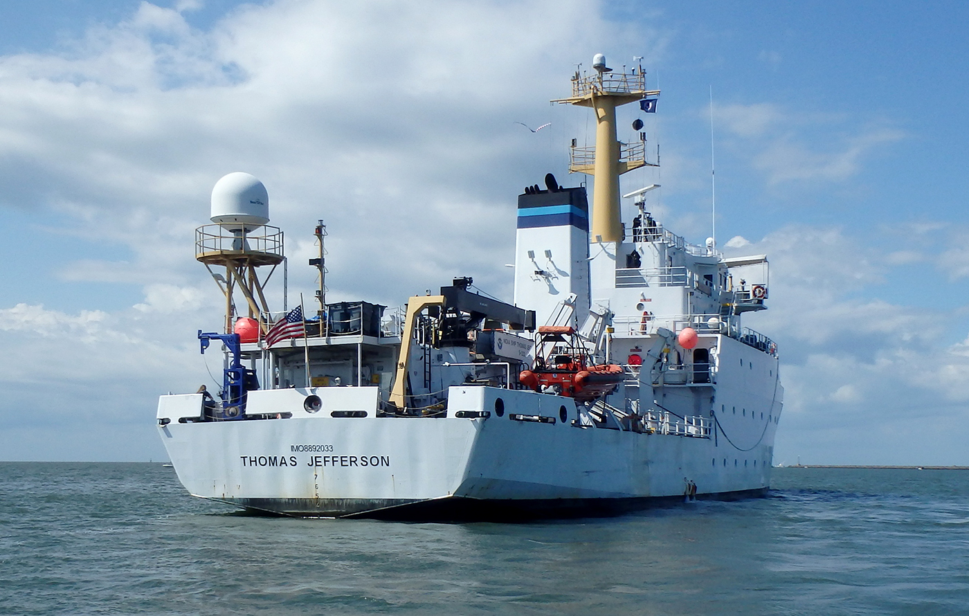
University of New Hampshire’s Center for Coastal and Ocean Mapping and NOAA are giving undergraduate students the opportunity to participate in seafloor mapping and associated exercises aboard a survey vessel this summer. Natalie Cook, a junior in the Ocean Engineering program, is spending eight weeks aboard NOAA Ship Thomas Jefferson, a 208-foot hydrographic survey vessel, experiencing all aspects of hydrography. Natalie is standing survey watch, processing data, working on survey launches, and serving as an active member of the hydrographic survey team.

Continue reading “Learning the ropes aboard a NOAA hydrographic survey vessel”

Surveying the approaches to the Chesapeake Bay

Thomas Jefferson at anchor in Lynnhaven anchorage
By Ensign Gabriella McGann

After a busy winter in port, NOAA Ship Thomas Jefferson started the 2021 field season in familiar waters, returning to survey the approaches of the Chesapeake Bay. Towards the end of the 2020 field season, the crew of the Thomas Jefferson spent their first 45-day “COVID-19 bubble” on this project.  A bubble is formed when crew quarantine and test for COVID-19 prior to crewing the ship, staying isolated onboard until the end of the 45-day period. This protocol is part of the Office of Marine and Aviation Operations (OMAO) COVID-19 mitigation strategy. In April and May of 2021 Thomas Jefferson spent an additional 28 days surveying an area approximately 40 nautical miles east of Virginia Beach, Virginia.

Continue reading “Surveying the approaches to the Chesapeake Bay”

Surveying in the Strait of Juan de Fuca during a global pandemic

By Ensign Jessie Spruill and Hydrographic Senior Survey Technician Simon Swart, NOAA Ship Fairweather

Last Thanksgiving, the crew of NOAA Ship Fairweather were busy surveying in one of the country’s busiest waterways. A global maritime entryway to the Pacific Northwest, the Strait of Juan de Fuca sees over 8,000 transits of deep-draft container ships, cargo and chemical carriers, oil tankers, and barges coming to and from Puget Sound and Canada. In addition to industrial shipping, the Strait of Juan de Fuca also supports over 200,000 transits of recreational vessels and Washington State Ferries. Located north of the Olympic Peninsula, the Strait forms the northwestern most border between the contiguous U.S. and Canada. On the American side, the region is home to eight million people including 50 First Nation communities with centuries old cultural ties to traditional fishing.

Continue reading “Surveying in the Strait of Juan de Fuca during a global pandemic”

The Interagency Working Group on Ocean and Coastal Mapping announces progress report on mapping U.S. ocean, coastal, and Great Lakes waters

The Interagency Working Group on Ocean and Coastal Mapping (IWG-OCM) released the second annual report on the progress made in mapping U.S. ocean, coastal, and Great Lakes waters. The depth, shape, and composition of the seafloor are foundational data elements that we need to understand in order to explore, sustainably develop, conserve, and manage our coastal and offshore ocean resources. The 2020 National Strategy for Mapping, Exploring, and Characterizing the United States Exclusive Economic Zone and the global Seabed 2030 initiative make comprehensive ocean mapping a priority for the coming decade. The Unmapped U.S. Waters report tracks progress toward these important goals.

Continue reading “The Interagency Working Group on Ocean and Coastal Mapping announces progress report on mapping U.S. ocean, coastal, and Great Lakes waters”

New hydrographic surveying matching fund announced

Update (2/19/21) – Notes and slides from the January 28, 2021, webinar on the NOAA Coast Survey Matching Fund Opportunity are now available.

NOAA’s Office of Coast Survey recently announced a new pilot program for a Hydrographic Surveying Matching Fund opportunity through a Federal Register Notice. The purpose of this notice is to encourage non-federal entities to partner with NOAA on jointly-funded hydrographic surveying, mapping, and related activities of mutual interest. The pilot program relates directly to Coast Survey’s Ocean Mapping Plan and a goal to expand U.S. EEZ mapping by also expanding use of Coast Survey’s hydrographic services contract vehicle.

Continue reading “New hydrographic surveying matching fund announced”

By the Numbers: Coast Survey’s 2020 Atlantic Hurricane Season

NOAA Office of Coast Survey 2020 hurricane season infographic

As the 2020 Atlantic hurricane season came to a close on November 30, NOAA’s Office of Coast Survey tallied a few numbers to see what the combined response effort of the navigation response teams, NOAA Ship Thomas Jefferson, and hydrographic survey contractor David Evans & Associates, Inc., looked like.  

Continue reading “By the Numbers: Coast Survey’s 2020 Atlantic Hurricane Season”

NOAA concludes hydrographic survey response following Hurricane Delta

NOAA Ship Thomas Jefferson Launch 2904 surveying the Bar Channel, Calcasieu, Louisiana Approach.

This week NOAA’s Office of Coast Survey concluded its hydrographic survey response following Hurricane Delta. At the immediate request of the U.S. Army Corps of Engineers (USACE), NOAA’s navigation response teams (NRTs) and NOAA Ship Thomas Jefferson surveyed areas within the Gulf Intracoastal Waterway (GIWW), Calcasieu Ship Channel, and the entrance to the channel. With lessons learned from the response to Hurricane Laura — the first major hurricane of the 2020 season and the first hurricane response during a pandemic — the teams and Thomas Jefferson successfully collected, processed, and delivered data to the USACE, identifying significant hazards to navigation and helping to ensure the timely reopening of waterways.

Continue reading “NOAA concludes hydrographic survey response following Hurricane Delta”

NOAA Coast Survey’s new strategy supports charting mandates and broader seafloor mapping

This week, NOAA’s Office of Coast Survey released the Mapping U.S. Marine and Great Lakes Waters: Office of Coast Survey Contributions to a National Ocean Mapping Strategy. This report is part of NOAA’s ongoing commitment to meet core surveying and nautical charting mandates while supporting broader needs to fill gaps in seafloor mapping and environmental sciences.

Continue reading “NOAA Coast Survey’s new strategy supports charting mandates and broader seafloor mapping”

Capturing scenes from hydrographic surveying

NOAA Ship Rainier kayak in Holkham Bay, Alaska

There are many benefits to working on a hydrographic survey project for NOAA’s Office of Coast Survey. Some would say having the opportunity to visit amazing landscapes, work with talented people, and collect important environmental data are just a few of them. Recently, Coast Survey’s Hydrographic Surveys Division hosted an internal photo contest inviting employees and contractors to submit images in the categories of Ships and Boats, Landscapes, People, and Data. On this Earth Day 2020, we thought we would share our contest winners with you.

Continue reading “Capturing scenes from hydrographic surveying”

NOAA announces new progress report on mapping U.S. ocean, coastal, and Great Lakes waters

Map showing the geographic distribution and extent of the unmapped areas within U.S. waters. Analysis conducted in January 2020.

NOAA released the first annual report on the progress made in mapping U.S. ocean, coastal, and Great Lakes waters. The depth, shape, and composition of the seafloor are foundational data elements that we need to understand in order to explore, sustainably develop, conserve, and manage our coastal and offshore ocean resources. The 2019 Presidential Memorandum on Ocean Mapping of the United States Exclusive Economic Zone and the Shoreline and Nearshore of Alaska and the global Seabed 2030 initiative make comprehensive ocean mapping a priority for the coming decade. The Unmapped U.S. Waters report tracks progress toward these important goals.

Continue reading “NOAA announces new progress report on mapping U.S. ocean, coastal, and Great Lakes waters”