By Ens. Harper Umfress
NOAA Ship Rainier’s four-decade tropical sonar silence is over and Hawaiian hydrography is back! The 2019 field season was productive, challenging, and geographically diverse. After starting the season with traditional hydrographic surveys in Alaska, Rainier was re-tasked to support science diving operations in the Papahānaumokuākea Marine National Monument that surrounds the Northwestern Hawaiian Islands. Though the primary purpose of this dispatch was to support coral reef research, the world’s most productive coastal hydrographic survey platform would have been remiss to forego this opportunity to ping new waters.
While Rainier was supporting coral reef research in the Northwestern Hawaiian Islands in July and August, the ship left a team of hydrographers and three survey launches to work in the “Main Eight” Hawaiian Islands. Once the ship returned to Oahu in September, the field team rejoined the ship. With the ship, crew, and survey launches reunited, Rainier undertook a week of mapping in the islands before departing to California for the winter shipyard maintenance period.
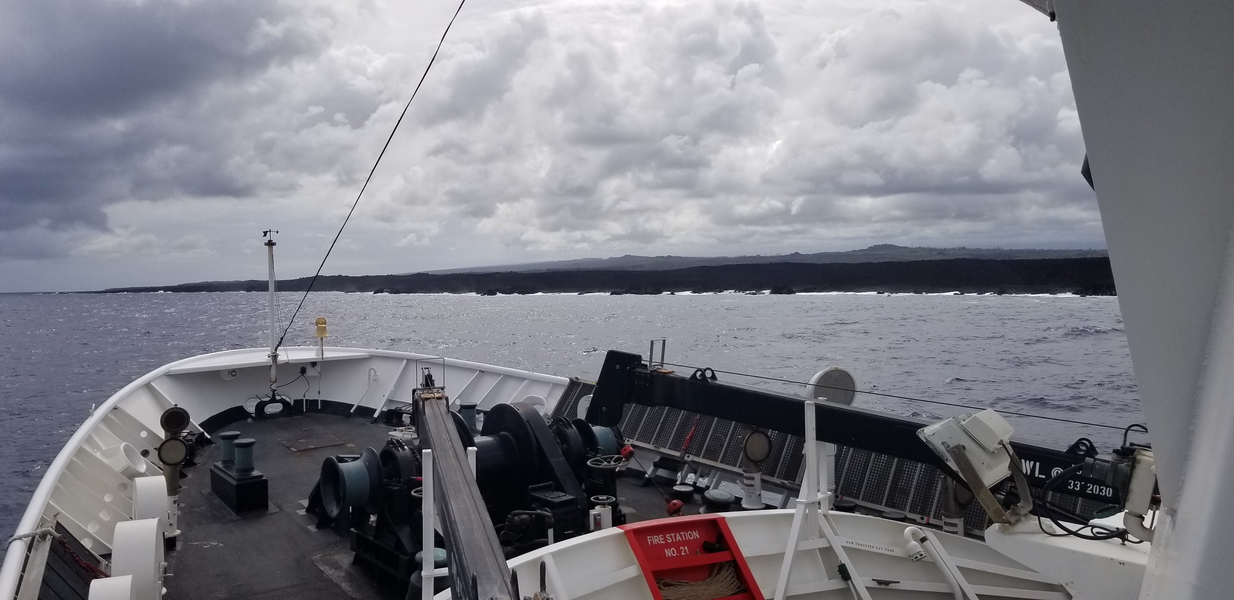
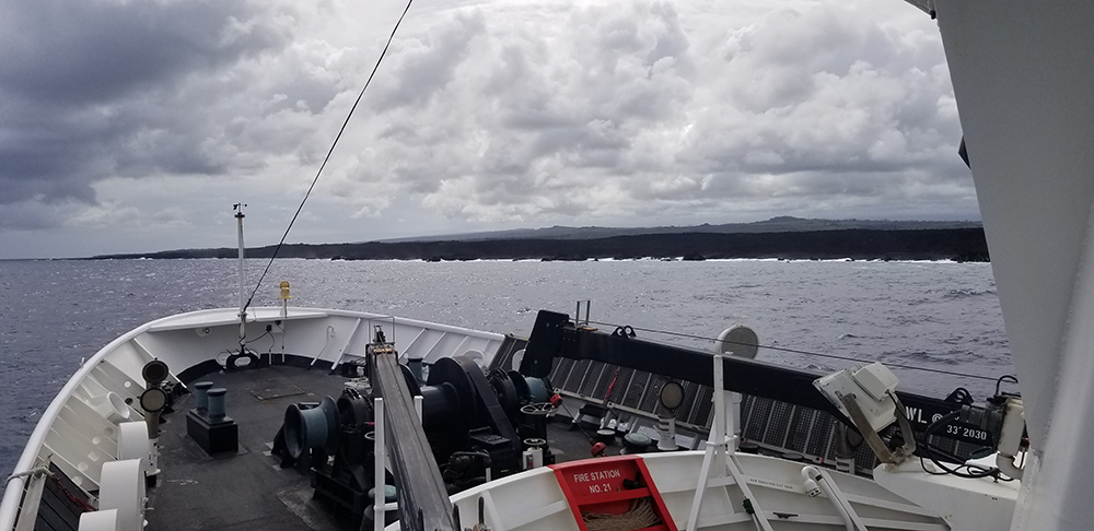
The ensuing survey in September took Rainier and her crew to several locations throughout the main Hawaiian archipelago, including the busy energy products port of Barbers Point on Oahu, the approaches to the cruise ship and cargo port of Kahalui on Maui, and inner Hilo Harbor on the Big Island. All of these areas have seen increased deep draft traffic density and seafloor changes since the last surveys performed by NOAA ships Fairweather and Rainier in the early 1980s. However, Rainier’s most extreme survey in 2019 was along the Big Island’s Puna Coast. This is the area of the lava spillway associated with the Kīlauea volcano that infamously erupted in 2018. In addition to updating nautical charts, Rainier’s work will provide scientists from the United States Geological Survey (USGS) and other researchers with a high-resolution bathymetric model of a sparsely studied lava flow.
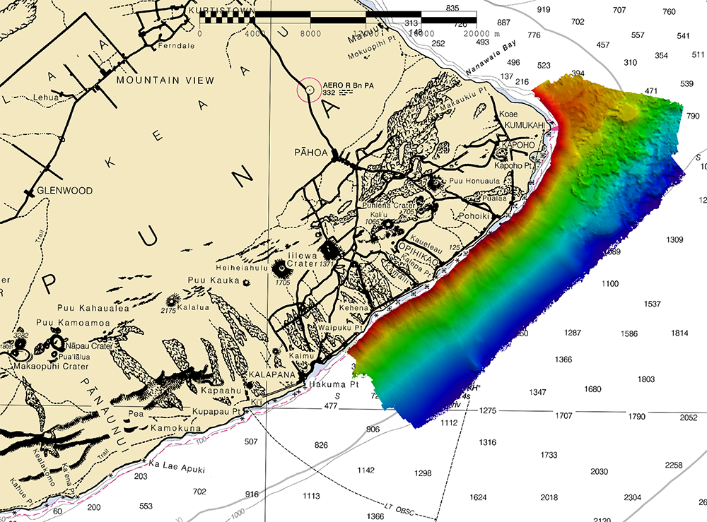
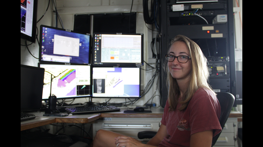
The Puna Coast stretches along the southeast side of the Big Island of Hawaii. The 2018 Kīlauea eruption, like many past eruptions, resulted in a devastating lava flow that ran across the Puna Coast, reshaping the coastline and seabed. Immediately after the eruption, the Exploration Vessel Nautilus conducted a multibeam sonar survey to establish a baseline of this newly crystallized flow. Even though the eruption had ceased at the time of the E/V Nautilus survey, the geologic structures had only begun forming. With Rainier fortuitously in the area a year later, there was a unique opportunity to collect another multibeam dataset focused on a short-term phase in geologic development that is often difficult to capture. Also, while E/V Nautilus and her mapping systems are optimized for deep ocean exploration, Rainier’s survey systems are designed for high resolution surveys of relatively shallow, coastal waters. Rainier and its launch multibeam echo sounder systems acquired a dataset which will complement that collected by Natulilus a year earlier, in particular revealing more detail of the submerged structure of the lava flow where it flowed into the sea. Providing accurate scientific data is a fundamental pillar of NOAA’s existence, so once the quality of Rainier’s dataset is verified, it will be available to the public — from the mariner operating a tour boat offshore of the Puna Coast to the university professor researching this dynamic area.
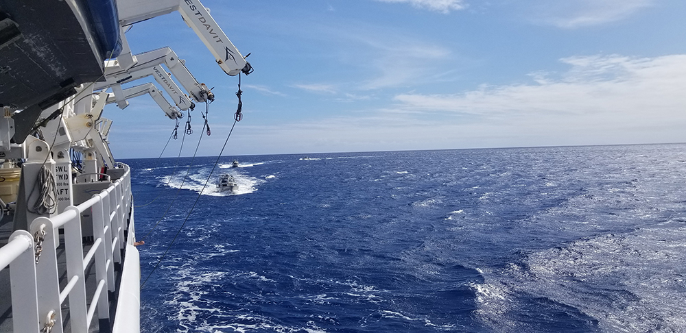
In addition to operations along the Puna Coast, Rainier surveyed around Kalaeloa Barbers Point Harbor on Oahu and around Kahului Bay on Maui. Both Kalaeloa and Kahului see significant deep draft vessel traffic and serve as economically important cargo hubs for their respective islands. For local mariners, Rainier’s survey work will provide vital chart updates and improve vessel safety; for the Rainier crew, the virtues of the 2019 survey work extend well beyond that. To finish the season with hydrographic survey operations was to watch a purpose-built survey ship fire on all cylinders. Next field season will be as operationally dynamic as that of 2019, with a host of new missions and new places to push the ship to its full multi-mission capabilities. Conducting dive operations in conjunction with survey operations will leverage the ships hydrographic roots to venture into operational frontiers as of yet unknown.
The Puna Coast survey project was conducted in close collaboration with the USGS Hawaiian Volcano Observatory for their support in the Puna Coast survey project. For more information, see the recent article, Volcano Watch, 10-17-19.

