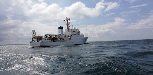
The Empowering Women in Hydrography project is a global effort led by the International Hydrographic Organization and Canada that seeks to initiate, organize and track a series of activities and initiatives which will enable more women to participate equitably in the field of hydrography and to assume leadership roles within the hydrographic community. NOAA is contributing to the project via an ‘at-sea experience’ on NOAA hydrographic ships for three women each year over the four year lifespan of the project. After a global call for nominations, three women were selected to join NOAA ships for the 2022 survey season. Firosa Tomohamat from Suriname’s Maritime Authority, joined NOAA Ship Thomas Jefferson from August 8 to 26, 2022 while surveying the Great Lakes.
By Firosa Tomohamat
Have you ever wondered what women in the marine or hydrography sector aboard the great NOAA Ship Thomas Jefferson do? I’m Firosa Tomohamat, the only female from the hydrography branch in the nautical department of Maritime Authority Suriname. I would like to thank the International Hydrographic Organization (IHO) and National Oceanic and Atmospheric Administration (NOAA) for this wonderful opportunity. Also a great thanks to NOAA Ship Thomas Jefferson and all the crew members who were kind, caring and supportive for letting me have this experience and knowledge.
My at sea experience
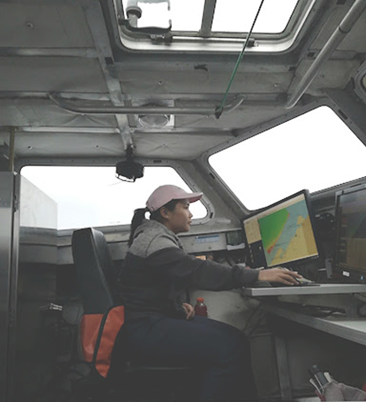
I met NOAA Ship Thomas Jefferson in the Port of Cleveland, Ohio and before I was assisted to my room, I took a COVID-19 test, followed by receiving my room bedding. Afterwards, we assembled in the mess deck for new crew orientation which impressed upon us the importance of communicating with the bridge and crew members during emergency drills. I learned for the first time and also had a duty in the different emergency drills: fire and emergency, abandon ship and man overboard. We proceeded on with a ship tour which helped in familiarizing myself with the ship’s layout. Once in transit to Erie, Pennsylvania, I introduced myself to the survey team and other members and was assigned the duty of hydrographer in charge, in training.
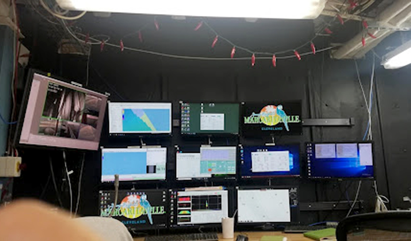
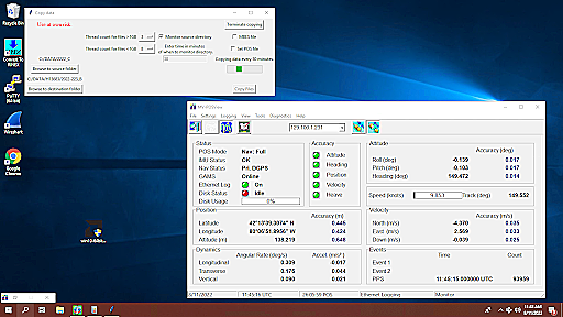
Of importance to me was the understanding of how they survey, what kind of hydrographic devices they use and what are the standards. Chief Hydrographic Survey Technician Erin Cziraki kindly explained what screen acquisition was and the purpose of each screen. The four screens that really took my attention were the camera screen, moving vessel profiler, positioning and attitude system and the seafloor information system. I was assigned to monitor the different screens, communicating with the bridge, casting and receiving the profiler, transferring the profiler data to the seafloor information system, logging and end logging data on Hypack and the seafloor information system, updating the acquisition log sheet and monitoring the positioning system. All the data that they are collecting will be processed by the software CHARLENE and pre-processed in CARIS HIPS and SIPS. I got to understand the different hydrographic procedures and NOAA Hydrographic Survey Specification and Deliverables.
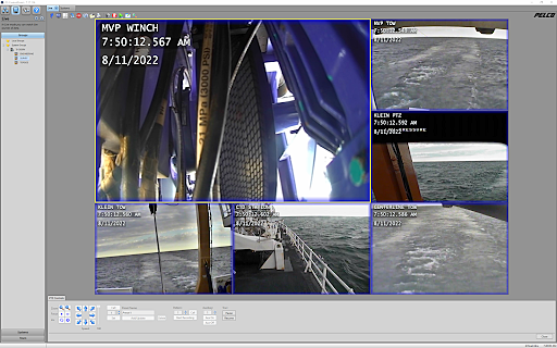
The camera screen is very handy for monitoring how the moving vessel profiler and side scan sonar are doing while surveying. Also if you want to cast a moving vessel profiler, always ask the bridge first, and always communicate when the cast is away and complete.
The second screen is the positioning and attitude system. This system corrects the movement of the ship and collects real time positioning data that is paired with the multibeam echo sounder data, so you always have real time sounding data.
The moving vessel profiler is used for measuring the speed of sound in water by knowing the conductivity, temperature and depth. Good profiler sounding data will be transferred and corrected in the seafloor information system, which is why they frequently use the moving vessel profiler. You can deploy and receive the profiler equipment through the profiler system.
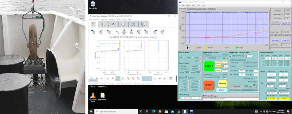
With the seafloor information system, you can log in and receive raw sounding data. I learned how to discern when the data is looking like a frown or a smile, if the data looks like that, a profiler will be cast and the data will be transferred to the seafloor information system.
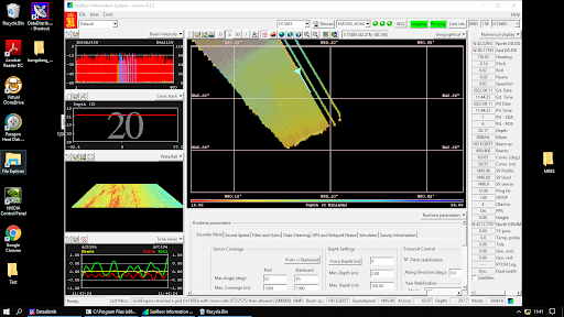
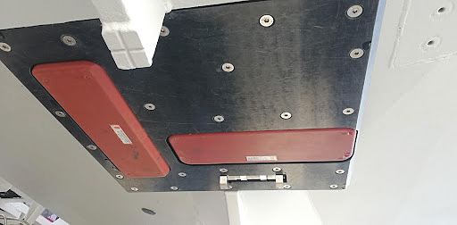
The side scan sonar Klein 5000 system is used for searching and detecting objects on the seafloor, but it doesn’t give you depth. You can simultaneously run the side scan, moving vessel profiler and multibeam echo sounder EA2040 together, that way you have an image of the seafloor and multibeam echo sounder data. To launch the side scan sonar, you need two to three people and always practice safety first.
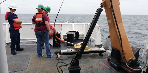
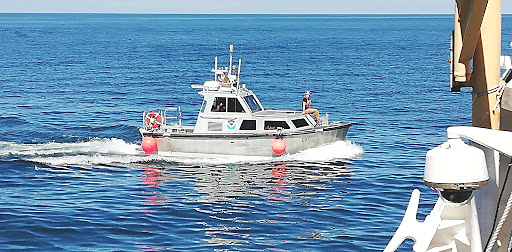
My launch 2903 experience
The extra fun thing that I loved to do on survey launch 2903 was to experience the preparation during the deployment and recovering – how to tie the orange fenders, clamp and release the hook and throw the front line to the ship.
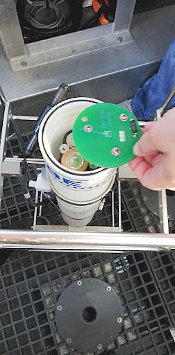
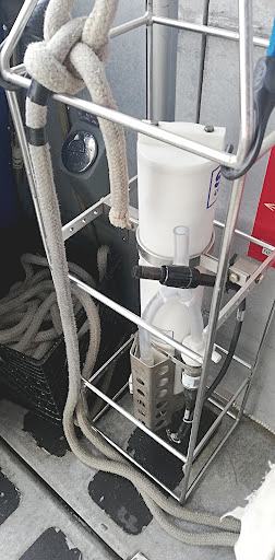
The difference in procedures aboard the survey launch versus the ship is taking a conductivity, temperature and depth cast. This process is similar in function to the moving vessel profiler on Thomas Jefferson. The cast weighs less and is deployed manually. I had the opportunity to do a cast, download the data and transfer this data to the seafloor information system. In order to collect the data, a rope is fastened to a cage housing the sensor and placed in the water just above the water surface. After waiting for two minutes, it is lowered slowly down to the seafloor and brought back up to retrieve the collected data and transfer to the seafloor information system.
Personal log
It was really exciting and challenging for me aboard Thomas Jefferson, because I was in a different country, surrounded by interesting people and a different environment, but I slowly adapted to it. There are a lot of things I noticed while I was there. Foremost was the fact that the ship’s crew is made up of both females and males from different cultures and ages, and in order to complete the tasks it’s important to respect each other. Team work makes the dream work! You really see that the crew is working and communicating with each other and surprisingly there were a lot of women with different roles aboard. It was a big inspiration and motivation for me, as they participate in many of the activities like deploying and recovering launches, side scan sonar and moving vessel profiler deployment. Also safety first is a must.
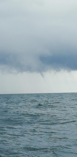
First time experiencing a water spout growing in Lake Erie while we were surveying. We went the opposite way when it looked like it was growing bigger.
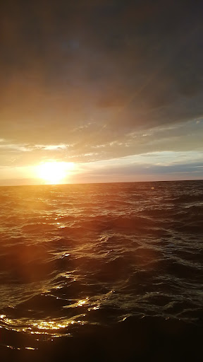
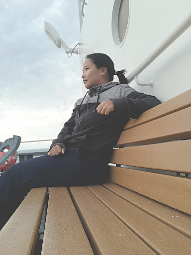
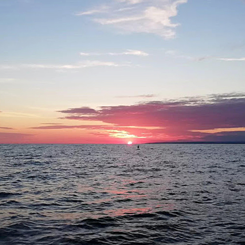
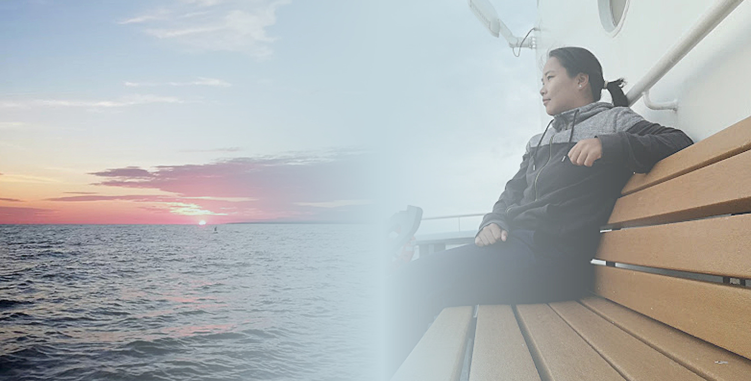
Everybody was kind to me, I had the time to explore the ship and one of my favorite places was outside Deck 02, because I really enjoyed the fresh air and sunset. Sunrise and sunset are the most beautiful views on Thomas Jefferson and launches.