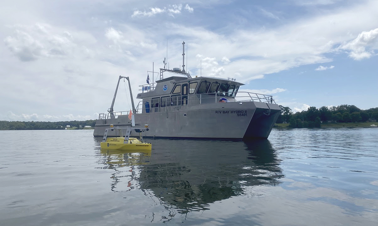
Historical Hydrography on the St. Mary’s River

An image of NOAA's Bay Hydro II on the water with the Echoboat 240, uncrewed system in the foreground.

By Riley O’Connor

In November 1633, the Ark and the Dove set sail from the Isle of Wight—an island off the south coast of England—carrying English and Irish settlers bound for the new colony of Maryland. By January 1634, both vessels arrived at the Island of Barbados and began heading for the colony of Maryland. These settlers sailed into the Chesapeake Bay, the Potomac River, and eventually, the St. Mary’s River.  They stopped roughly 12 miles (19 km) northwest from Point Lookout, where the Potomac River enters the Chesapeake Bay. This group of settlers would go on to found Maryland’s first European settlement and future provincial capital, St. Mary’s City.

Continue reading “Historical Hydrography on the St. Mary’s River”
NOAA helps develop undergraduate course in lakebed mapping

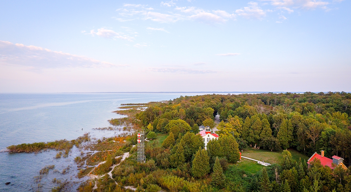
Grand Traverse Light aerial of Northport Michigan.

As the New Blue Economy grows along with demands for a climate-ready workforce, NOAA is connecting the dots between climate resilience and the need for a workforce skilled in science and technology supporting ocean and coastal mapping. Exposure to key disciplines, from geodesy, oceanography, and science data management to modeling, hydrography and GIS-based cartography, is critical to building robust interest, opportunities and expertise in the government and industry geospatial careers supporting climate resilience. NOAA works with a variety of partners to advance workforce development in these foundational geospatial areas. In particular, hydrography – measuring water depths, locating hazards, and describing the seafloor – is a challenging but exciting field dependent on skilled technicians, surveyors, and scientists to acquire mapping data using state-of-the-art technologies. With only 50% of U.S. coastal, ocean and Great Lakes waters mapped, there is a lot of work to do! Read on to learn about a hydrographic surveying project NOAA is supporting with Northwestern Michigan College in the Great Lakes.

Continue reading “NOAA helps develop undergraduate course in lakebed mapping”

Research vessel Bay Hydro II makes history on Mayland’s Elk River

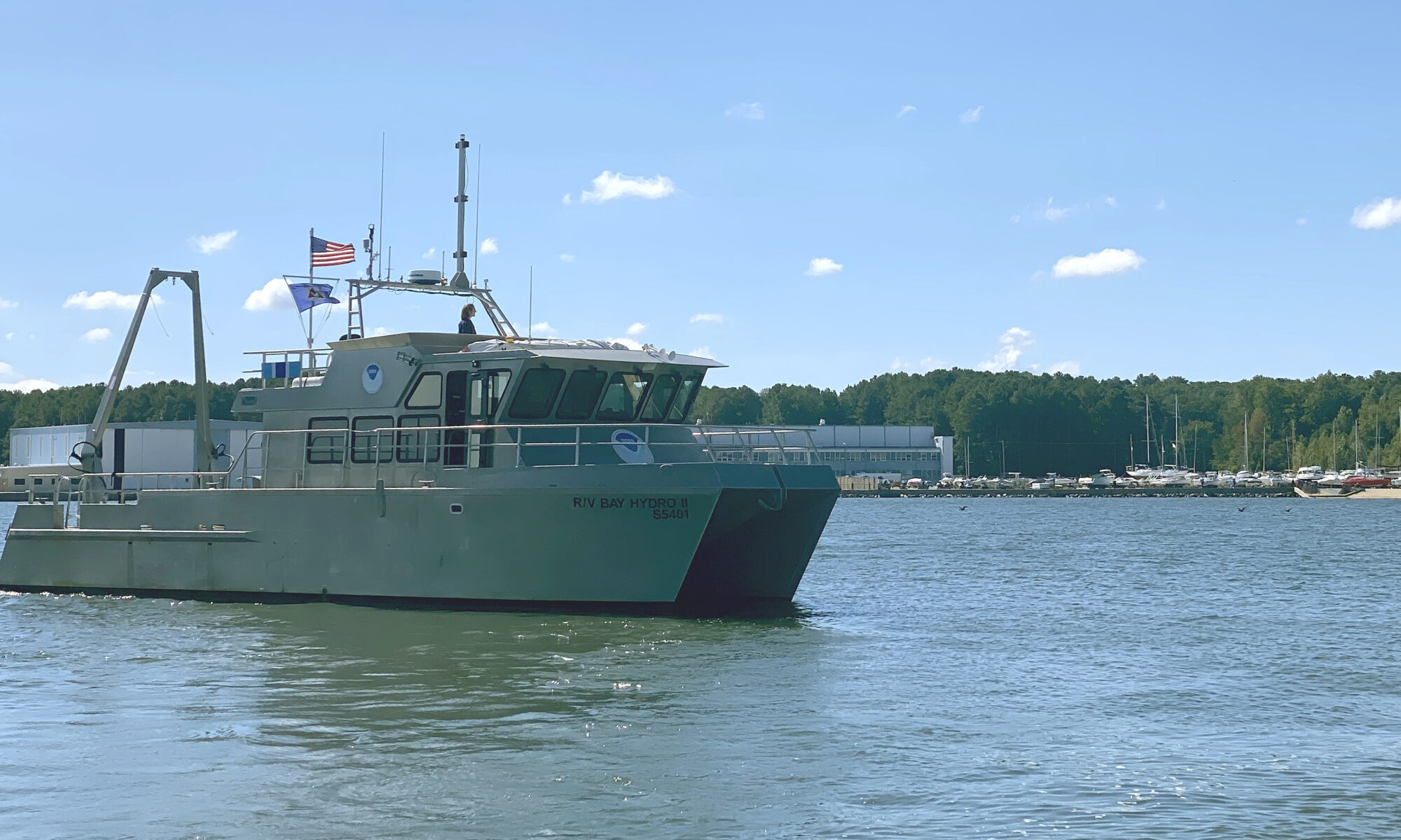
NOAA survey vessel Bay Hydro II in it's homeport at the Patuxent River Naval Air Station.
By Lt.j.g. Carly Robbins, junior officer in charge R/V Bay Hydro II

Situated on the east side of the Chesapeake Bay, 162 nautical miles above the Virginia Capes, Elk River is the western approach to the Chesapeake and Delaware Canal. The canal is one of the busiest waterways in the country. It connects the Chesapeake and Delaware Bays, servicing the ports of Baltimore, Wilmington, and Philadelphia. The U.S. Army Corps of Engineers regularly surveys the dredged channels in the approaches and in the canal, but they are not responsible for the remaining waters of the Elk River. The Elk River was last surveyed in the early 1900s, making depths on the nautical chart close to 100 years old! As a result, NOAA R/V Bay Hydro II was tasked to conduct a modern hydrographic survey of Elk River in Spring 2023.

Continue reading “Research vessel Bay Hydro II makes history on Mayland’s Elk River”

NOAA-NSF collaboration – evaluating coastal models utilizing Texas Advanced Computing Center services

The Unified Forecast System (UFS) is a proposed community-based earth modeling system that is designed to incorporate oceanographic forecast model core(s) into a simplified NOAA modeling suite. This simplification is intended to reduce the footprint of the number of NOAA models and thus reduce development, operations, and maintenance.

Continue reading “NOAA-NSF collaboration – evaluating coastal models utilizing Texas Advanced Computing Center services”

NOAA awards cooperative agreement to UNH/NOAA Joint Hydrographic Center

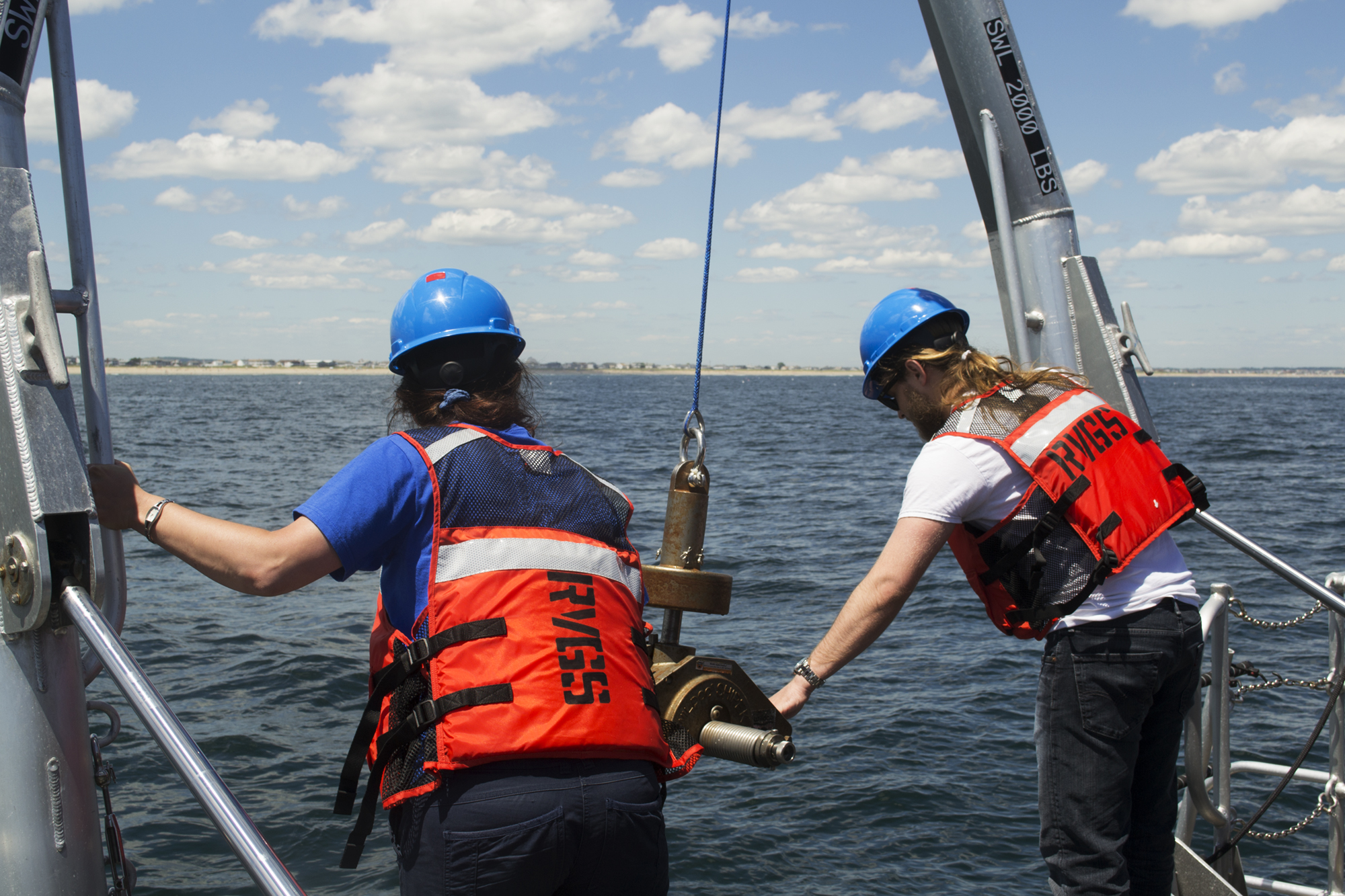
Students from the Center recovering a seafloor grab sampler.

NOAA’s Office of Coast Survey awarded a 5-year cooperative agreement to the University of New Hampshire for the continuation of the Joint Hydrographic Center. The Joint Hydrographic Center is a NOAA/University research and education partnership aimed at maintaining a world-leading center of excellence in hydrography and ocean mapping. The new award, which will begin in January 2021, will build on the work of the Center since its founding in 1999. 

Continue reading “NOAA awards cooperative agreement to UNH/NOAA Joint Hydrographic Center”

Coast Survey Spotlight: Meet Kolleen Mortimer

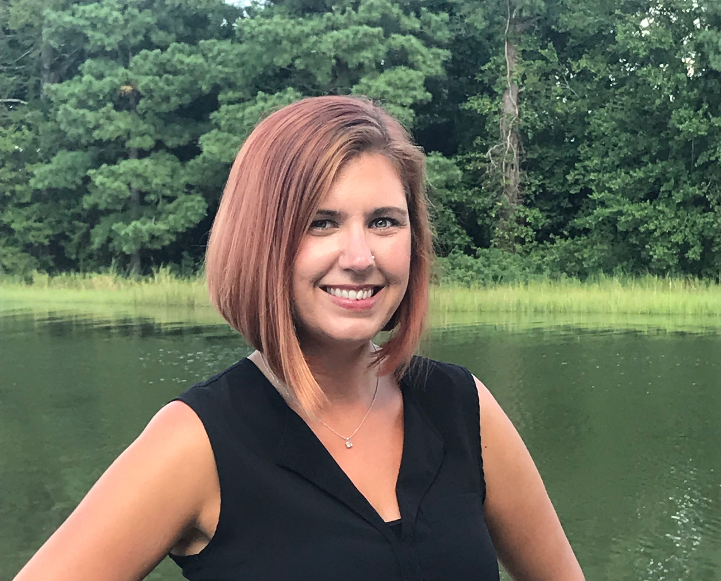
Kolleen Mortimer standing on the banks of the Elizabeth River in Portsmouth, Virginia.

Ever wonder what it’s like to be a member of the NOAA Coast Survey team? We use the Coast Survey spotlight blog series as a way to periodically share the experiences of Coast Survey employees as they discuss their work, background, and advice.


Kolleen Mortimer, Physical Scientist

“Knowing the data we examine every day contributes to safe navigational products is greatly rewarding. It’s also rewarding to see the process come to life in a greater scope. When the data leaves my desk and makes it to a chart product, I can say that my work contributed to that.”

Continue reading “Coast Survey Spotlight: Meet Kolleen Mortimer”

NOAA hosts 2019 Nautical Cartography Open House and Chart Adequacy Workshop

Sean Legeer shows a digital cartography display to visiting students.

Last week, NOAA’s Office of Coast Survey held its third annual Nautical Cartography Open House welcoming over 250 attendees from the U.S. and abroad. Government agencies, industry and academic partners, and members of the public attended. The open house featured posters, presentations, tours, and exhibits centered around four themes: Bathymetric Databases, Custom Charting, Innovative Cartography, and Precision Navigation. Dr. Shachak Pe’eri, organizer of the event and chief of the Cartographic Support Branch in the Marine Chart Division, welcomed attendees in the morning and John Nyberg, chief of the Marine Chart Division, gave the keynote speech.

Continue reading “NOAA hosts 2019 Nautical Cartography Open House and Chart Adequacy Workshop”

NOAA hosts 2018 Chart Adequacy Workshop

On July 23, NOAA Coast Survey hosted a three-day Chart Adequacy Workshop that included participants from 13 countries. This is the fourth Chart Adequacy Workshop held at NOAA’s Silver Spring, Maryland campus.

The participants of the 2018 Chart Adequacy Workshop.
Participants and instructors of the 2018 Chart Adequacy Workshop.

The main goal of the workshop is to provide training for professional cartographers and hydrographers on techniques for assessing nautical chart adequacy using publicly-available information, such as satellite images and maritime automatic identification system (AIS) data. The participants received an overview on Coast Survey datasets, processes, and requirements for nautical charts. They also learned about preprocessing hydrographic data, such as loading charts, uploading imagery, and applying electronic navigation charts (ENCs) and AIS point data. Through a series of lab units, the attendees practiced performing the concepts they learned. Continue reading “NOAA hosts 2018 Chart Adequacy Workshop”

Coast Survey spotlight: Meet Starla Robinson

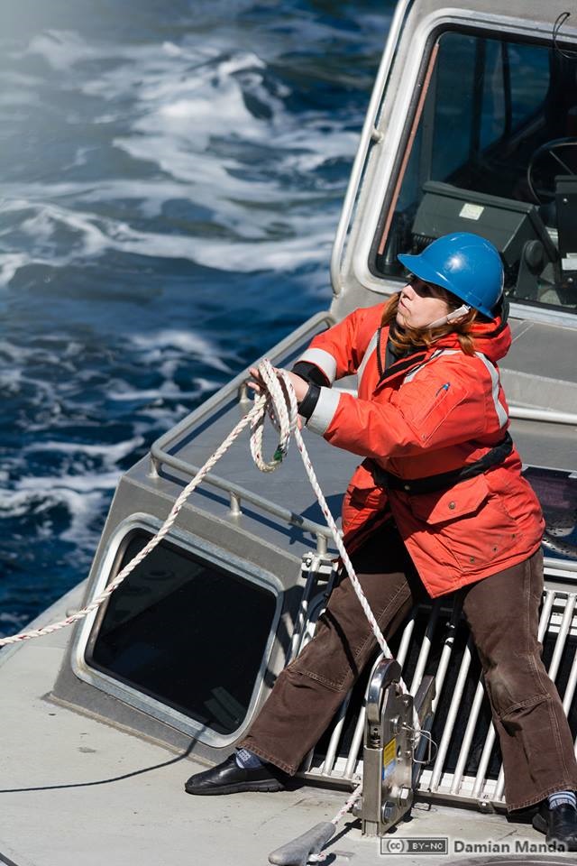
Starla Robinson served as a crew member on the NOAA Ship Rainier. Photo credit: Lt. Damian Manda, NOAA Corps

Ever wonder what it’s like to be a member of the NOAA Coast Survey team? We will use the Coast Survey spotlight blog series as a way to periodically share the experiences of Coast Survey employees as they discuss their work, background, and advice.


Starla Robinson, Physical Scientist

The work we do has real value and every sounding takes a team of professionals from multiple disciplines. I like being a part of something greater.

Continue reading “Coast Survey spotlight: Meet Starla Robinson”

Poster symposium marks milestone for inaugural class of the NOAA certification program in nautical cartography

NOAA’s Christie Ence (left), Megan Bartlett (third from left), and Noel Dyer (right) explain their posters to attendees of the poster symposium at the University of Maryland.

Students of NOAA’s certification program in nautical cartography completed their final projects and presented them along with other Master of Professional Studies in GIS students during a poster symposium at the University of Maryland’s Department of Geographical Sciences. At the event, NOAA students explained their capstone projects and described how their research benefits nautical charting at NOAA. Project topics included:

  • Improving Shoreline Application to NOAA Electronic Navigational Charts, Megan Bartlet
  • An Automated Approach to Generate Nautical Vector Features from Raster Bathymetric Attributed Grid Data, Noel Dyer
  • Developing a Rasterization Procedure for Vector Chart Data, Christie Ence
  • NOAA Chart Discrepancies: A Temporal and Spatial Analysis for Navigation Response Teams, Lt. Cmdr. Matt Forney
  • Airborne Lidar Bathymetry’s Impact on NOAA Charts, Andres Garrido
  • Validating and Refining the Proposed Rescheming of NOAA Electronic Navigational Charts, Colby Harmon
  • High Resolution Bathymetry as an Alternative to Charting Controlling Depths in U.S. Army Corps of Engineers Channels, Craig Winn
  • Satellite Derived Bathymetry: An Alternative Analysis to Nautical Chart Updates, Aleah Worthem

Continue reading “Poster symposium marks milestone for inaugural class of the NOAA certification program in nautical cartography”