Poster symposium marks milestone for inaugural class of the NOAA certification program in nautical cartography

NOAA’s Christie Ence (left), Megan Bartlett (third from left), and Noel Dyer (right) explain their posters to attendees of the poster symposium at the University of Maryland.

Students of NOAA’s certification program in nautical cartography completed their final projects and presented them along with other Master of Professional Studies in GIS students during a poster symposium at the University of Maryland’s Department of Geographical Sciences. At the event, NOAA students explained their capstone projects and described how their research benefits nautical charting at NOAA. Project topics included:

  • Improving Shoreline Application to NOAA Electronic Navigational Charts, Megan Bartlet
  • An Automated Approach to Generate Nautical Vector Features from Raster Bathymetric Attributed Grid Data, Noel Dyer
  • Developing a Rasterization Procedure for Vector Chart Data, Christie Ence
  • NOAA Chart Discrepancies: A Temporal and Spatial Analysis for Navigation Response Teams, Lt. Cmdr. Matt Forney
  • Airborne Lidar Bathymetry’s Impact on NOAA Charts, Andres Garrido
  • Validating and Refining the Proposed Rescheming of NOAA Electronic Navigational Charts, Colby Harmon
  • High Resolution Bathymetry as an Alternative to Charting Controlling Depths in U.S. Army Corps of Engineers Channels, Craig Winn
  • Satellite Derived Bathymetry: An Alternative Analysis to Nautical Chart Updates, Aleah Worthem

Continue reading “Poster symposium marks milestone for inaugural class of the NOAA certification program in nautical cartography”

Have a question for NOAA Coast Survey? Meet our “Answer Man”

By Nick Perugini

Nick PeruginiAs the nation’s nautical chartmaker, NOAA Office of Coast survey serves a wide range of customers ranging from recreational boaters and operators of cargo ships, to historical chart enthusiasts. Customers throughout the world send us questions, comments, and also chart discrepancy reports, letting us know they found an error on a chart. As the Coast Survey “Answer Man,” I manage this communication, including Coast Survey’s response. Customers submit inquiries through our Inquiry and Discrepancy Management System (IDMS) database. Continue reading “Have a question for NOAA Coast Survey? Meet our “Answer Man””

NOAA hosts first open house on nautical cartography

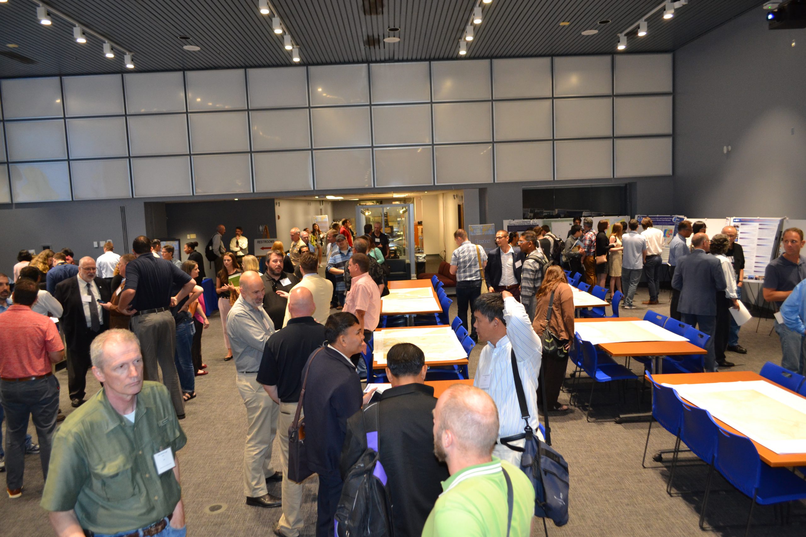
Over 25 posters were displayed along with NOAA current and historical nautical charts, and NOAA Chart Tile Service in NOAA’s Science Center.

NOAA’s Office of Coast Survey hosted the first NOAA open house on nautical cartography on Friday, July 7th. The event featured posters, presentations, and tours focusing on nautical cartography, highlighting the field of charting and GIS. Industry partners such as ESRI, CARIS, Fugro Palegos, Inc., and IIC Technologies, international mapping groups such as Cartography and Geographic Information Society (CaGIS) and General Bathymetric Chart of the Oceans (GEBCO), government agencies such as U.S. Army Corps of Engineers and the Navy, and many international charting offices were in attendance. The open house welcomed a total of 200 visitors, representing 24 countries. Continue reading “NOAA hosts first open house on nautical cartography”

NOAA announces open house on nautical cartography

NOAA’s Office of Coast Survey is pleased to announce its first one-day open house in conjunction with the International Cartographic Conference (held this year in Washington, DC, at Marriott Wardman Park). This one-day event will focus on nautical cartography, highlighting the field of charting and GIS. It will offer nautical cartography-themed posters, presentations, tours, and exhibits. Participants will include industry partners, government agencies, and charting offices from around the world. This event is open to the public. Continue reading “NOAA announces open house on nautical cartography”

NOAA Coast Survey offers new certification program in nautical cartography

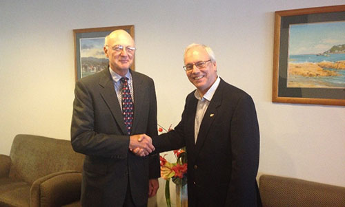
Capt. (NOAA ret.) Andy Armstrong (left) with IBSC Chair, Mr. Adam Greenland (right) at the 40th meeting of the IBSC in Willington, New Zealand.

The International Board on Standards and Competence for Hydrographic Surveyors and Nautical Cartographers (IBSC) recognized and approved Coast Survey’s new certification program in cartography (CAT-B) at their 40th meeting in Willington, New Zealand. Capt. Andy Armstrong (NOAA, ret.), co-director of the Center for Coastal & Ocean Mapping/Joint Hydrographic Center at the University of New Hampshire, presented the program at the meeting. Continue reading “NOAA Coast Survey offers new certification program in nautical cartography”

Get your hands on science at the NOAA Open House

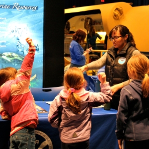
These kids had a great time getting their hands on science at last year's Open House.
These kids had a great time getting their hands on science at last year’s Open House.

Explore your world and learn how NOAA takes the pulse of the planet every day and protects and manages ocean and coastal resources. Join us on NOAA’s Silver Spring, Maryland, campus for a series of free activities, including engaging talks by NOAA experts, interactive exhibits, special tours, and hands-on activities for ages 5 and up. Meet and talk with cartographers, scientists, weather forecasters, hurricane hunters, and others who work to understand our environment, protect life and property, and conserve and protect natural resources. Learn some of Coast Survey’s heritage and see a historic printing press that we actually used to print charts in the 1800s.
Visit www.noaa.gov/openhouse for details or call 240-533-0710 for more information.
Continue reading “Get your hands on science at the NOAA Open House”

Coast Survey helps scientists sharpen hydrographic skills

NOAA hydro class at USCG Training Center

By Lt.j.g. Eric Younkin
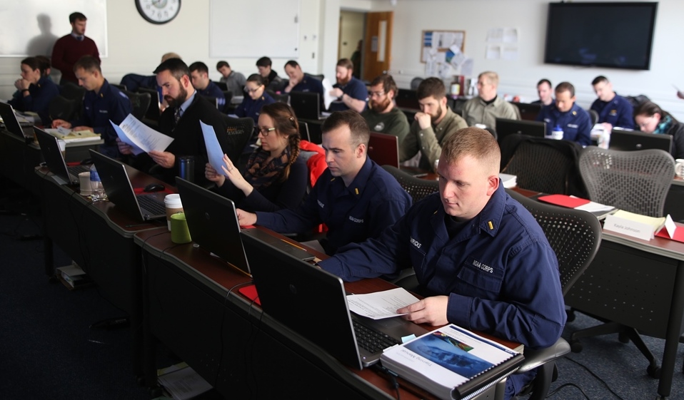
For four weeks in February, NOAA’s Office of Coast Survey offers formal hydrographic training to newly hired survey technicians and physical scientists, using the beautiful campus at the United States Coast Guard Training Center in Yorktown, Virginia. This year, dozens of NOAA employees and others took the extensive training, covering everything from acoustics and statistics to the processing of hydrographic survey data within the CARIS software package.
Two dozen people attended in person. They came from a wide range of duty assignments: NOAA ships Rainier, Fairweather, Thomas Jefferson, Pisces, and Oscar Dyson; Coast Survey’s R/V Bay Hydro II, Navigation Response Team 1, and the Atlantic Hydrographic Branch; NOAA’s National Geospatial Data Center; and the Washington State Energy Office. In addition, we had “virtual” attendance from the NOAA ships as well as from the Olympic Coast National Marine Sanctuary, the Integrated Ocean and Coastal Mapping Center, Washington State Energy Office, and United States Coast Guard District 17.
Continue reading “Coast Survey helps scientists sharpen hydrographic skills”

Celebrating Abe’s birthday! Lincoln’s slave density map is home again in President Lincoln Cottage

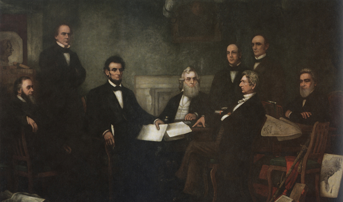
The “slave density map,” created by the men of U.S. Coast Survey in 1861, is one of Coast Survey’s most treasured historical maps. Artist Francis Bicknell Carpenter included it in his painting, “First Reading of the Emancipation Proclamation of President Lincoln,” because Lincoln consulted it so often in devising his military strategy. According to Carpenter, President Lincoln used the map in his decisions to send his armies to free blacks in some of the highest density areas in order to destabilize Southern order.
Continue reading “Celebrating Abe’s birthday! Lincoln’s slave density map is home again in President Lincoln Cottage”

NOAA Open House to share scientific awesomeness

Explore your world and learn how NOAA — the National Oceanic and Atmospheric Administration — takes the pulse of the planet every day and protects and manages ocean and coastal resources. 2015 NOAA Open House Ad

Join us on NOAA’s Silver Spring, Maryland, campus for a day of discovery. Listen to engaging talks by NOAA experts, explore interactive exhibits, take special tours, and have fun with hands-on activities for ages 5 and up. Meet and talk with scientists, weather forecasters, hurricane hunters, cartographers, and others who work to understand our environment, protect life and property, and conserve and protect natural resources.
Continue reading “NOAA Open House to share scientific awesomeness”

NOAA Ship Rainier + enthusiastic students = future hydrographers?

Cold Bay's elementary school student visit the NOAA Ship Rainier
Cold Bay Elementary School students visit the NOAA Ship Rainier

On September 13, NOAA Ship Rainier began surveying Cold Bay, its fourth project of the summer. Cold Bay is a small town on the Aleutian Peninsula approximately 540 miles southwest of Anchorage, Alaska. The town currently has approximately 88 full-time residents and boasts an airport with one of the longest runways in Alaska.
Continue reading “NOAA Ship Rainier + enthusiastic students = future hydrographers?”