Ever wonder what it’s like to be a member of the NOAA Coast Survey team? We will use the Coast Survey spotlight blog series as a way to periodically share the experiences of Coast Survey employees as they discuss their work, background, and advice.
Starla Robinson, Physical Scientist
The work we do has real value and every sounding takes a team of professionals from multiple disciplines. I like being a part of something greater.

What were your experiences prior to working for NOAA Office of Coast Survey?
I worked a decade as a GIS Analyst and then four years as a Survey Technician on NOAA Ship Rainier. I have been working as a Physical Scientist for Coast Survey for three years, and in this position I plan hydrographic surveys.
What is a day in your job like?
Varied. I am a project manager. My responsibility is to plan surveys, identify risks and opportunities, and see the surveys through completion. I spend time on land researching existing data, analyzing opportunities, facilitating communication, and defining plans. Once a project is started I assist in answering questions, monitoring progress, and communicating the value of what we do.
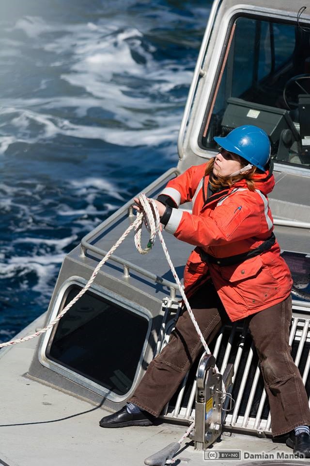
I also have the great privilege to sail on our ships as both a project manager and survey crew. At sea I act as a liaison to land, maintain my skills, experiment with new methods, and stand a survey watch. Working on a ship allows me to see things that very few people get to see. We are explorers in a strange land, uncovering an environment no one has seen before.
Why is this work important?
Project managers are the opportunity makers and the communicators that stitch the team together for the execution of the surveys that maintain the nation’s charts. We get to be the experts, defining the requirements for national hydrography, and safeguarding quality, while making sure we effectively manage the taxpayer’s resources.
What aspects of your job are most rewarding to you?
I work with teams of brilliant, dedicated professionals who are passionate about our work. Our work provides me with a sense of purpose. I know the importance of our data to mariners. I have been in a ship looking for safe harbor. I know the importance of our data to commerce, fisheries, habitat analysis, offshore energy, sand mining, and resource management. I use my expertise in hydrography and GIS to answer questions and strategize for the future. The work we do has real value and every sounding takes a team of professionals from multiple disciplines. I like being a part of something greater.
We are celebrating World Hydrography Day all week! Check our website to see new hydrography- and bathymetry-related stories added each day.

