NOAA Improves Etolin Strait Data with New NOAA ENC® Layout

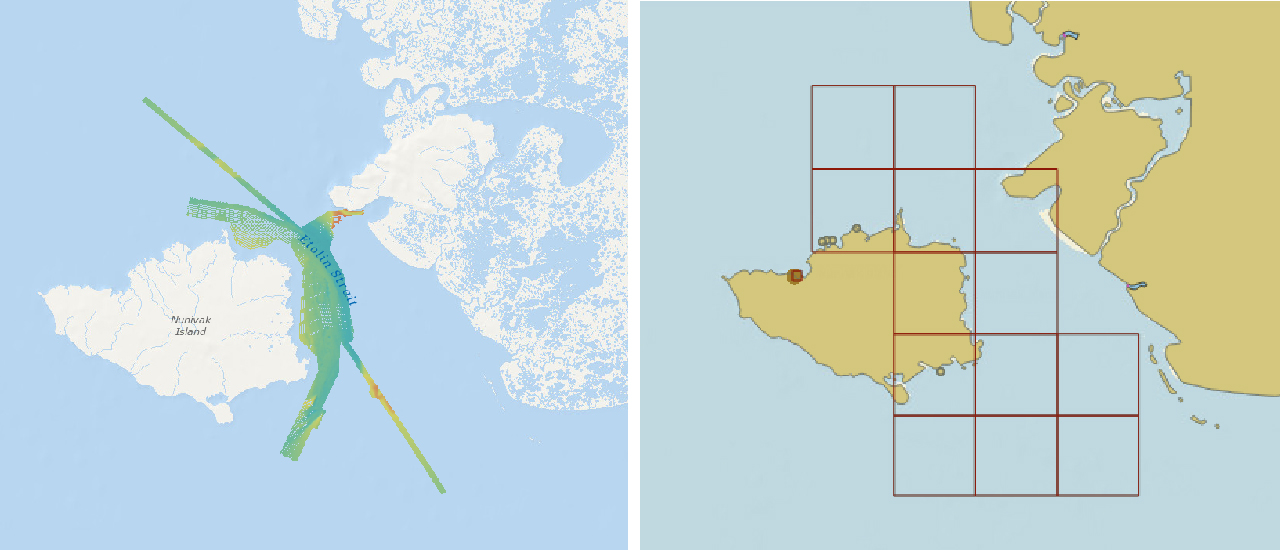
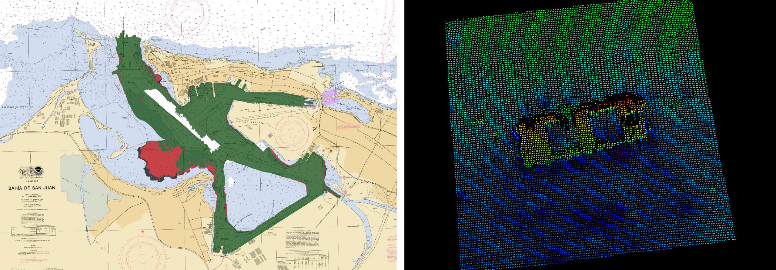
Etolin Strait survey area and reschemed grid

NOAA recently released 13 new large-scale electronic navigational charts (NOAA ENC®) of Etolin Strait, Alaska. These charts provide a nearly twenty-fold increase in scale over the previous ENC coverage. New Etolin Strait hydrographic surveys and the resulting ENCs served as a pilot project for the overall rescheming of the entire NOAA ENC suite with a regular, gridded layout for ENC charts, as outlined in NOAA’s National Charting Plan. No corresponding NOAA raster nautical chart products in Etolin Strait will be produced. This is in keeping with Coast Survey’s “ENC-only” production concept, which generally maintains the current raster chart product coverage, but only creates new larger scale coverage in the ENC product line.

Continue reading “NOAA Improves Etolin Strait Data with New NOAA ENC® Layout”

Coast Survey spotlight: Meet John Doroba

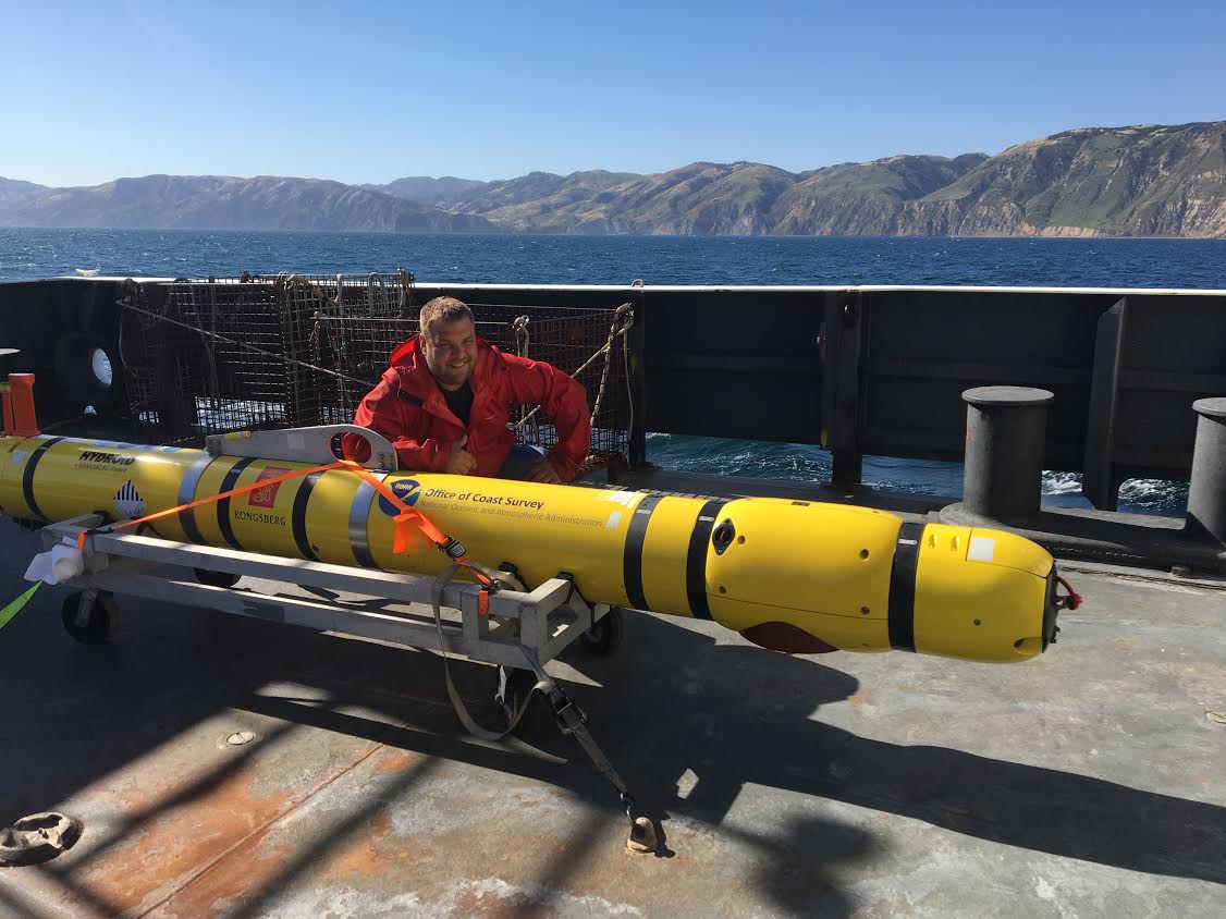
John aboard the NOAA Ship Bell M. Shimada as they perform autonomous underwater vehicle operations near Channel Islands National Marine Sanctuary.

Ever wonder what it’s like to be a member of the NOAA Coast Survey team? We use the Coast Survey spotlight blog series as a way to periodically share the experiences of Coast Survey employees as they discuss their work, background, and advice.


John Doroba, physical scientist

“Once I saw the mission I was hooked. It was the best job a recent graduate who loved being in the field could ask for, especially when you get to travel all around the country. Where else could I practice my love for science, utilize my education, solve real world problems that serve a purpose, and directly impact people in a positive way?”

Continue reading “Coast Survey spotlight: Meet John Doroba”

NOAA Ship Thomas Jefferson tests drone use for shoreline mapping

By, Lt. j.g. Matt Sharr, NOAA, and Lt. Charles Wisotzkey, NOAA

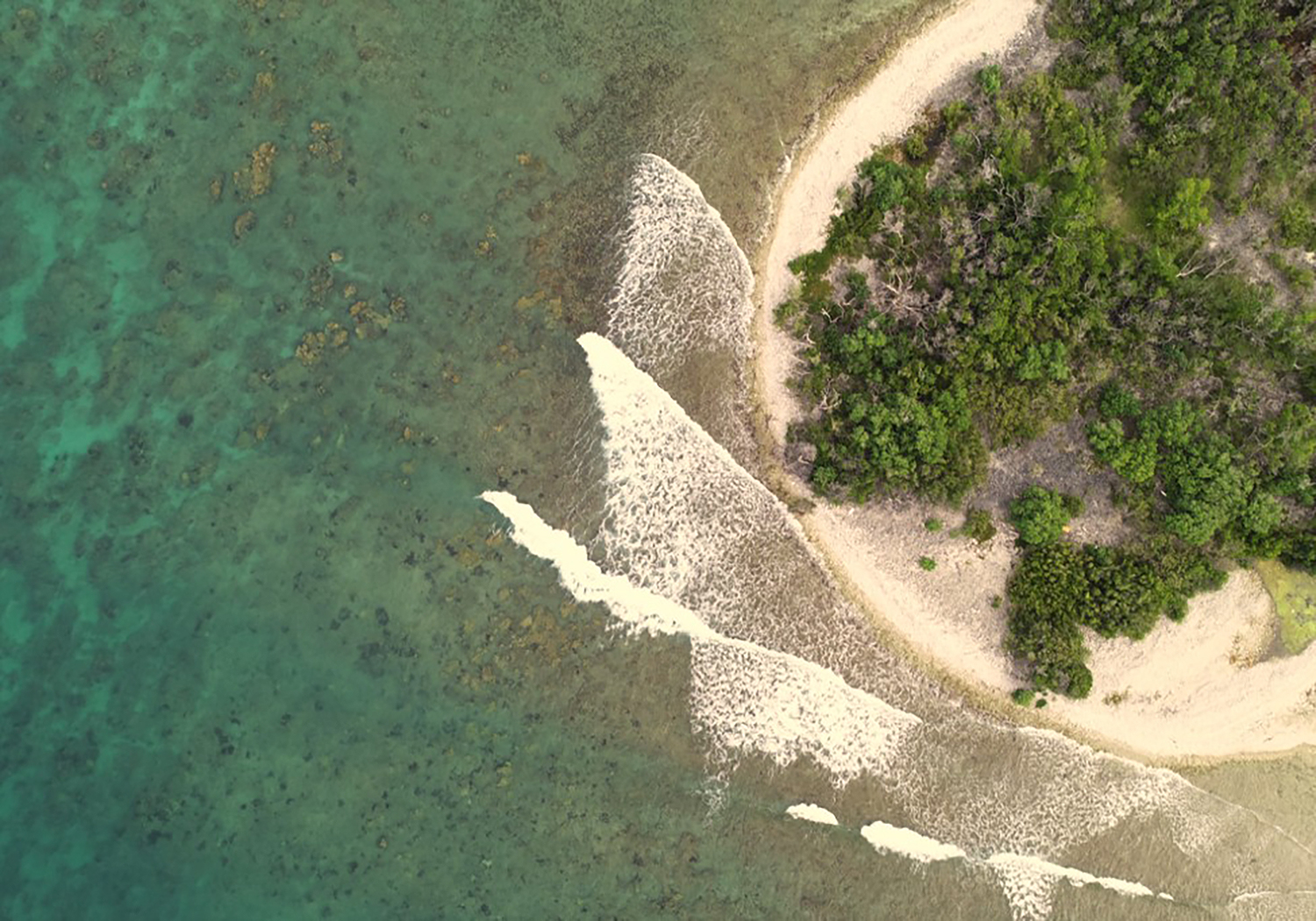
NOAA’s Office of Coast Survey and the National Geodetic Survey (NGS) recently conducted operational tests of small unmanned aerial systems — or drones — on board NOAA Ship Thomas Jefferson in support of survey operations conducted along the south coast of Puerto Rico. The tests show the potential of imagery from low-cost off-the-shelf drones to meet NOAA survey specifications for near-shore and shoreline feature mapping. This could replace traditional shoreline verification and mapping techniques used by NOAA hydrographic survey field units. Potential benefits of using drones for shoreline mapping include: improved data collection efficiency compared to data collection from small skiffs; more accurate feature investigation than traditional techniques; and, most importantly, removal of personnel from potentially dangerous situations (i.e. survey in close proximity to features being mapped). Continue reading “NOAA Ship Thomas Jefferson tests drone use for shoreline mapping”

Seismic inter-agency collaborations on NOAA Ship Rainier

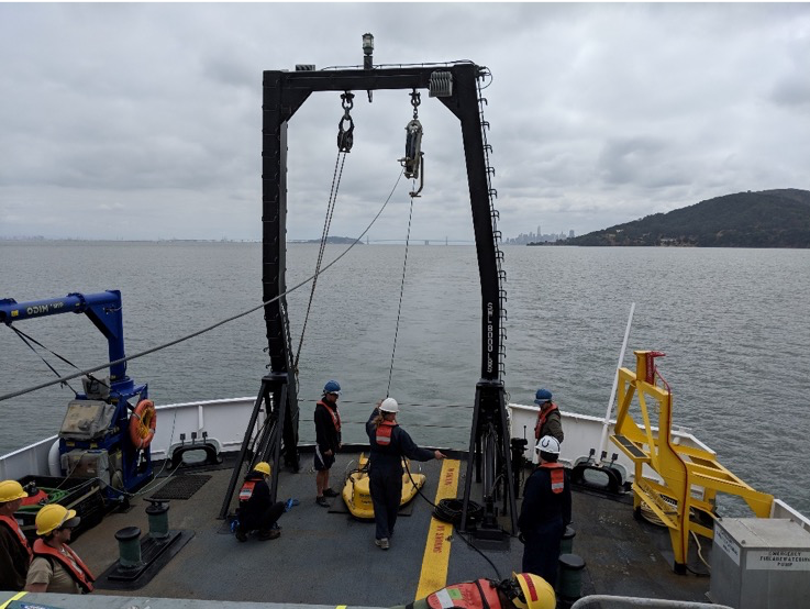
Rainier crew practice deploying the Edgetech Sub-bottom 512 Chirp profiler

By Ensign Airlie Pickett, NOAA

NOAA Ship Rainier spent September completing a multi-leg, joint collaboration project investigating deep offshore areas of the southern California coast. The U.S. Geological Survey (USGS) and Bureau of Ocean Energy Management (BOEM) partnered with NOAA to support a month-long mission to collect geophysical data along the outer continental shelf of California where the area in question features a number of different geologic structures and processes. Continue reading “Seismic inter-agency collaborations on NOAA Ship Rainier”

NOAA Ship Thomas Jefferson successfully tests new wireless system that aids remote vessel operation

By Lt. Charles Wisotzkey, NOAA

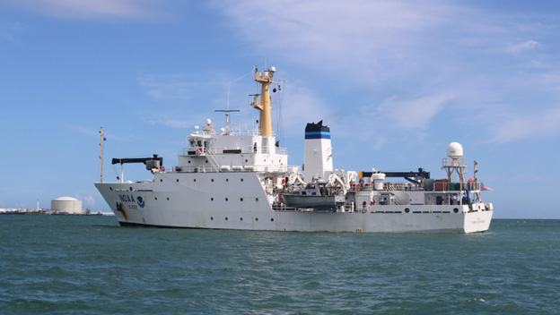
NOAA Ship Thomas Jefferson successfully tested a new wireless networking system while working in the Approaches to Houston/Galveston and around Puerto Rico during the 2018 field season. This new system connects the ship and its two hydrographic survey launches, providing a level of wireless connectivity previously unobtainable with traditional wireless communications systems. NOAA anticipates this will increase unmanned system productivity while conducting hydrographic surveys. Continue reading “NOAA Ship Thomas Jefferson successfully tests new wireless system that aids remote vessel operation”

NOAA and USGS collaborate to fulfill important agency missions in offshore areas along the West Coast

This summer, the Coastal and Marine Geology Program of the U.S. Geological Survey (USGS) and NOAA’s Office of Coast Survey together ran an interagency ocean mapping project across several large portions of the Cascadia Margin, offshore of California, Oregon, and Washington states.
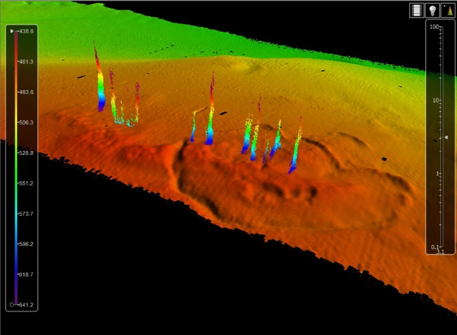
This collaboration,  conducted aboard the NOAA Ship Rainier, used hydrographic surveying equipment to collect swath bathymetry, backscatter intensity data, and full water column data within the project areas. The high-resolution geospatial data acquired will provide key baseline data for targeted USGS studies to improve hazard assessment and forecasting for marine geohazards offshore of northern California, Oregon, and Washington.  NOAA will also use the data to update nautical charts for safe navigation in the region. Continue reading “NOAA and USGS collaborate to fulfill important agency missions in offshore areas along the West Coast”

NOAA Ship Thomas Jefferson presents survey work to Puerto Rico South Coast stakeholders

By Cmdr. Chris van Westendorp, Commanding Officer of NOAA Ship Thomas Jefferson

Almost one year following the passage and destruction of Hurricane Maria, NOAA Ship Thomas Jefferson has returned to Puerto Rico. Following the storm, Thomas Jefferson deployed in September 2017 for hydrographic hurricane response work in Puerto Rico and the U.S. Virgin Islands (PR/USVI). The ship and crew surveyed 18 individual port facilities to ensure safety of navigation and help re-open the region for maritime commerce. Thomas Jefferson’s second major project of 2018 has brought the ship back to Puerto Rico from August to November, conducting follow-up survey work along the north and south coasts. Continue reading “NOAA Ship Thomas Jefferson presents survey work to Puerto Rico South Coast stakeholders”

NOAA surveys the unsurveyed, leading the way in the U.S. Arctic

President Thomas Jefferson, who founded Coast Survey in 1807, commissioned Lewis and Clark’s Corps of Discovery Expedition in 1803, the first American expedition to cross the western portion of the contiguous United States. Today there remains a vast western America territory that is largely unknown and unexplored – the U.S. waters off the coast of Alaska. As a leader in ocean mapping, NOAA Coast Survey launches hydrographic expeditions to discover what lies underneath the waves.
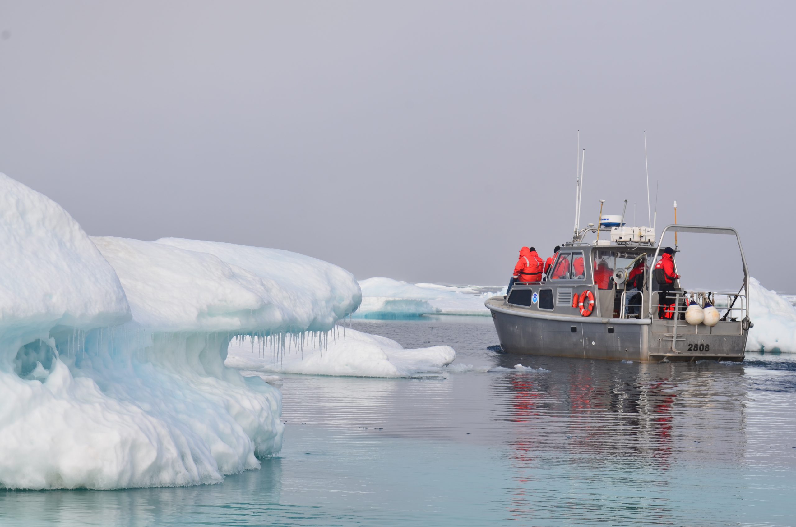
Alaska is one-fifth the size of the contiguous United States, and has more than 33,000 miles of shoreline. In fact, the Alaskan coast comprises 57 percent of the United States’ navigationally significant waters and all of the United States’ Arctic territory. Alaskan and Arctic waters are largely uncharted with modern surveys, and many areas that have soundings were surveyed using early lead line technology from the time of Capt. Cook, before the region was part of the United States. Currently only 4.1 percent of the U.S. maritime Arctic has been charted to modern international navigation standards. Continue reading “NOAA surveys the unsurveyed, leading the way in the U.S. Arctic”

Everyday actions keep mariners safe aboard NOAA hydrographic survey vessels

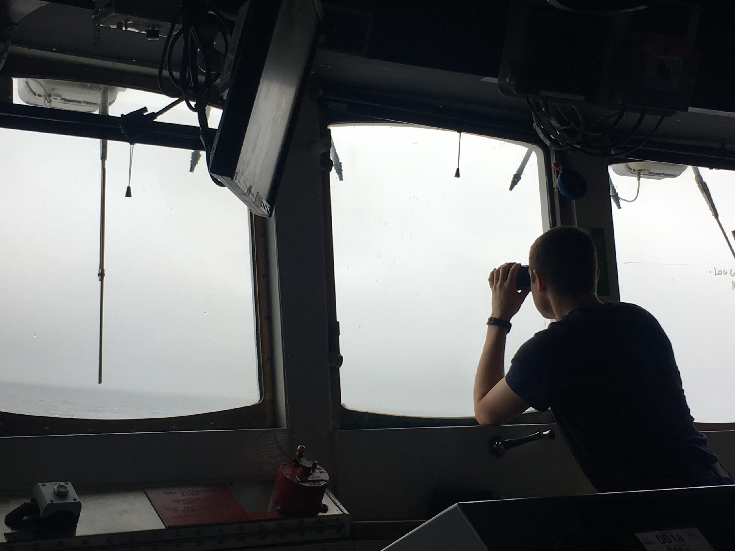
A NOAA Corp officer watches for hazards to navigation on board NOAA Ship Fairweather.

Collecting bathymetric data for our nation’s nautical charts requires skilled work on the water. Whether survey data is actively being collected or the ship is transiting to its next destination, NOAA crews perform a number of ancillary tasks as they operate NOAA hydrographic ships 24 hours a day, 7 days a week. Atmospheric and ecological observations provide context for the crew so they can avoid dangerous situations, while also supporting NOAA environmental databases and records. Drills and training are necessary to keep people and property safe. The following are some of the actions the mariners take while they are aboard the vessel.
Continue reading “Everyday actions keep mariners safe aboard NOAA hydrographic survey vessels”

NOAA and Coast Guard survey shallow channels in eastern Chesapeake Bay to update aids to navigation

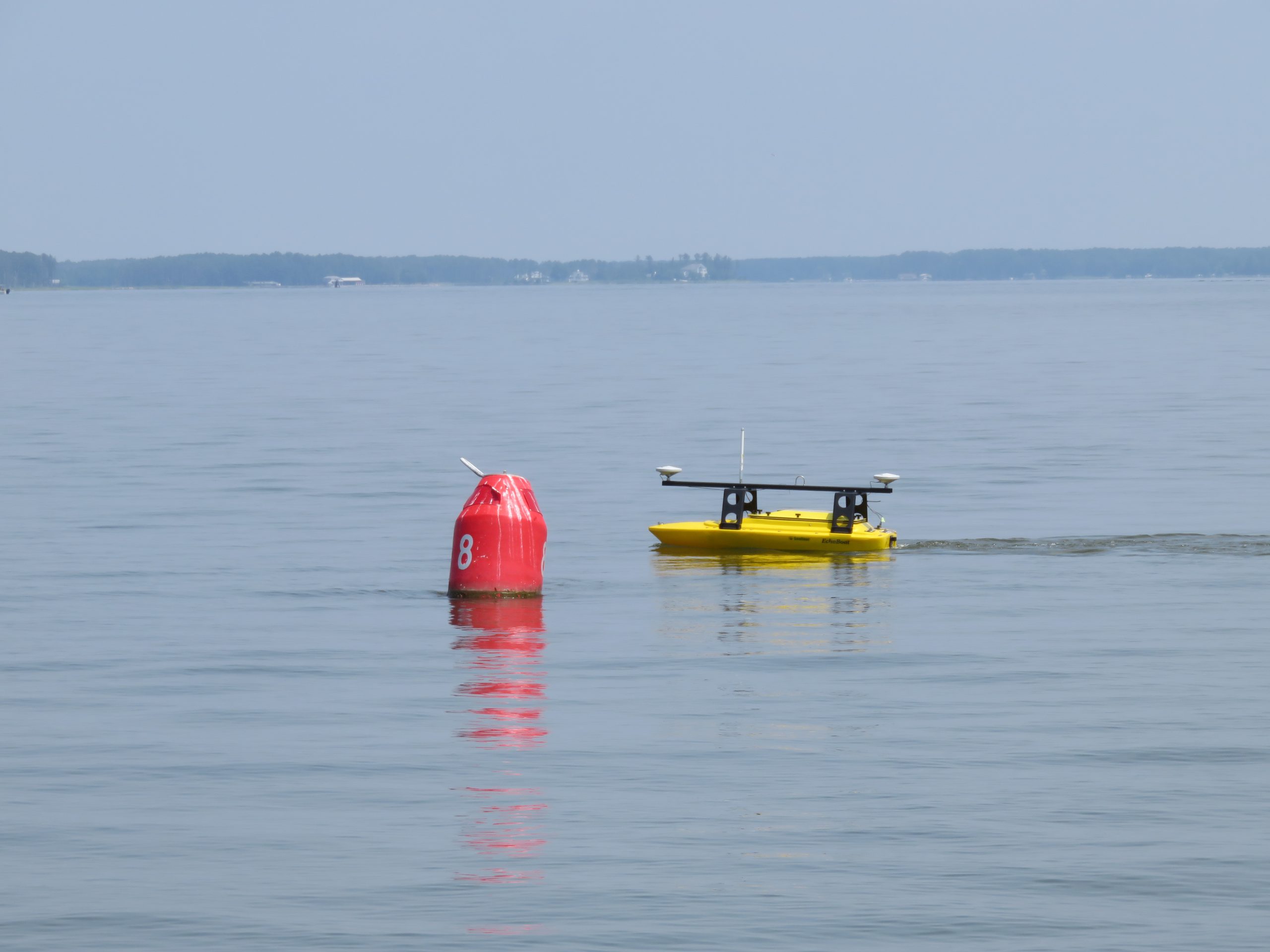
Echoboat ASV surveys in the Pocomoke River Channel to investigate possible shoaling.

By Lt j.g. Patrick Debroisse

The area of the Chesapeake Bay along the Eastern Shore of Maryland is one of our nation’s treasures. Home to unique underwater grasses, fish, and shellfish, this complex transition from river to sea is also home to millions of tons of sediment delivered annually from eroding land and streams. Recreational boaters, fisherman, and cruising vessels are keenly aware of the shifting sands and sediment deposits in these shallow waters and rely on aids to navigation (ATON) — a system of beacons and buoys — to travel safely to and from the harbors and docks along the shoreline.
Continue reading “NOAA and Coast Guard survey shallow channels in eastern Chesapeake Bay to update aids to navigation”