A message to hydrographers: Your time is now

A global view of mapped and unmapped portions of the world ocean.

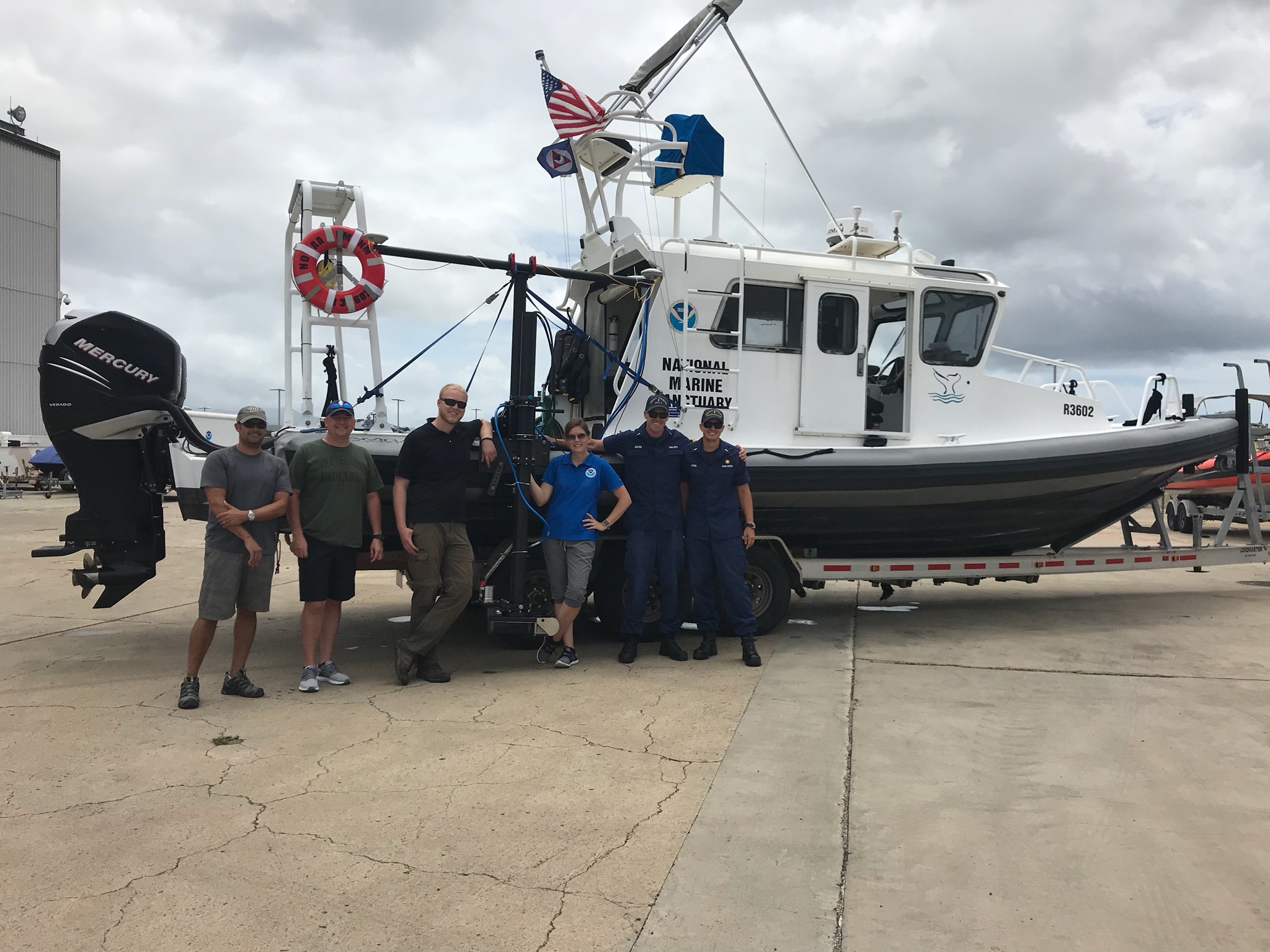
By Rear Adm. Shep Smith, Director of NOAA’s Office of Coast Survey

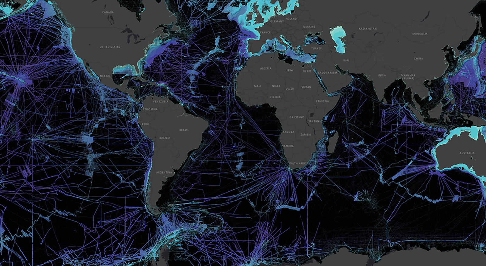
There has never been a better time to be a hydrographer. Our skills, data, and technology are in high demand globally, driven by an increased emphasis both on supporting the blue economy and of protecting the ocean upon which all life on earth depends. The UN declared this decade the “Decade of Ocean Science for Sustainable Development,” and that vision specifically calls out the need to map the world’s oceans. The Nippon Foundation has breathed new energy into the century-long project to create a General Bathymetric Chart of the Oceans (GEBCO) with a supporting campaign called Seabed 2030. Hydrography is now invaluable for habitat mapping, for mineral and energy exploration, for offshore wind development, and for ocean modeling supporting everything from predicting local harmful algal blooms to understanding the earth system itself at a global scale.

Continue reading “A message to hydrographers: Your time is now”

NOAA joins federal and state partners in signing MOU on emergency maritime response in Hawaii

Coast Survey’s hydrographic survey experts along with the Office of National Marine Sanctuary staff are ready to survey Honolulu Channel following Hurricane Lane.

NOAA’s Office of Coast Survey, United States Coast Guard (USCG) Sector Honolulu, State of Hawaii Department of Transportation and United States Army Corps of Engineers (USACE) Honolulu Division established a memorandum of understanding (MOU) outlining each signatory’s area of responsibility in the event of a disaster in the Hawaii region. The intent of the MOU is to improve the efficiency and effectiveness of response efforts and speed the reopening of the ports and waterways following an emergency. 

Continue reading “NOAA joins federal and state partners in signing MOU on emergency maritime response in Hawaii”

Explore the refreshed ENC-based NOAA Custom Chart Tool

Updated user interface of the NOAA Custom Chart (NCC) prototype web application displaying the Cape Cod, Massachusetts, region.

Recently, NOAA released an improved user interface for the NOAA Custom Chart (NCC) prototype web application, a tool that allows users to create their own charts from the latest NOAA electronic navigational chart (NOAA ENC®) data. In this refreshed version, NCC settings are simplified and more logically organized, appropriate default values for depth contour labels, depth shades, and compass roses are set, and the NOAA color palette from traditional NOAA paper charts is implemented.

Continue reading “Explore the refreshed ENC-based NOAA Custom Chart Tool”

Coast Survey Spotlight: Meet Martha Herzog

Martha Herzog enjoying the view of Sawyer Glacier in Tracy Arm, Alaska while aboard the "NOAA Ship Rainier."

Ever wonder what it’s like to be a member of the NOAA Coast Survey team? We use the Coast Survey spotlight blog series as a way to periodically share the experiences of Coast Survey employees as they discuss their work, background, and advice.


Martha Herzog, Physical Scientist

“…collecting the most accurate and up-to-date seafloor data to create nautical charting products is essential for ensuring public safety, commerce, and preventing human and environmental catastrophes.” 

Continue reading “Coast Survey Spotlight: Meet Martha Herzog”

Capturing scenes from hydrographic surveying

NOAA Ship Rainier kayak in Holkham Bay, Alaska

There are many benefits to working on a hydrographic survey project for NOAA’s Office of Coast Survey. Some would say having the opportunity to visit amazing landscapes, work with talented people, and collect important environmental data are just a few of them. Recently, Coast Survey’s Hydrographic Surveys Division hosted an internal photo contest inviting employees and contractors to submit images in the categories of Ships and Boats, Landscapes, People, and Data. On this Earth Day 2020, we thought we would share our contest winners with you.

Continue reading “Capturing scenes from hydrographic surveying”

NOAA supports arrival of USNS Comfort to New York City

USNS Comfort

For more than 200 years, nautical cartographers have methodically charted our nation’s coastline, adding new features or hazards and updating meandering shorelines, all in an effort to aid safe navigation. However, occasions do arise that require immediate charting, particularly in response to national emergencies. Notable examples include charting the projected oil spill zone during the Deepwater Horizon oil spill disaster, as well as hazards during hurricane response efforts. Most recently, NOAA’s Office of Coast Survey was called upon to support the arrival of USNS Comfort to New York City.

Continue reading “NOAA supports arrival of USNS Comfort to New York City”

NOAA certifies San Francisco Bay shipping channel with top survey rating, increasing confidence for deep draft vessel navigation

Tanker heading west and approaching the Richmond–San Rafael Bridge and Pinole Shoal Channel.

There is a risk factor when navigating in and out of our nation’s busiest ports, particularly at the helm of some of the world’s largest deep draft vessels. Mariners rely on tide and water level information, wind and weather data, but perhaps most importantly, they rely on electronic navigational charts and the quality of depth measurements that comprise them. Recently, NOAA’s Office of Coast Survey certified the U.S. Army Corps of Engineers (USACE) hydrographic surveys for the Pinole Shoal Channel in San Francisco Bay —  a critical waterway for bulk carriers and tankers to reach the ports of Sacramento, Stockton, Martinez, and Benicia — the highest possible data quality rating, Category Zone of Confidence (CATZOC) A1, for two years. This is the first USACE federally-maintained channel to receive the highest-level certification. NOAA anticipates the increased CATZOC rating will dramatically increase shipping efficiency.

Continue reading “NOAA certifies San Francisco Bay shipping channel with top survey rating, increasing confidence for deep draft vessel navigation”

Follow the status of electronic navigational chart improvements with NOAA’s new map viewer

New Jersey and surrounding area displayed in the new web map service.

NOAA’s Office of Coast Survey released a new and improved map viewer featuring the status of NOAA electronic navigational charts (NOAA ENC®) as they undergo major improvements. The data is also available as a GIS map service. The public can now view ENC project status from the planning and creation stages all the way to completion, keeping them better informed when these enhanced navigational charts become available.

Continue reading “Follow the status of electronic navigational chart improvements with NOAA’s new map viewer”

NOAA announces new progress report on mapping U.S. ocean, coastal, and Great Lakes waters

Map showing the geographic distribution and extent of the unmapped areas within U.S. waters. Analysis conducted in January 2020.

NOAA released the first annual report on the progress made in mapping U.S. ocean, coastal, and Great Lakes waters. The depth, shape, and composition of the seafloor are foundational data elements that we need to understand in order to explore, sustainably develop, conserve, and manage our coastal and offshore ocean resources. The 2019 Presidential Memorandum on Ocean Mapping of the United States Exclusive Economic Zone and the Shoreline and Nearshore of Alaska and the global Seabed 2030 initiative make comprehensive ocean mapping a priority for the coming decade. The Unmapped U.S. Waters report tracks progress toward these important goals.

Continue reading “NOAA announces new progress report on mapping U.S. ocean, coastal, and Great Lakes waters”