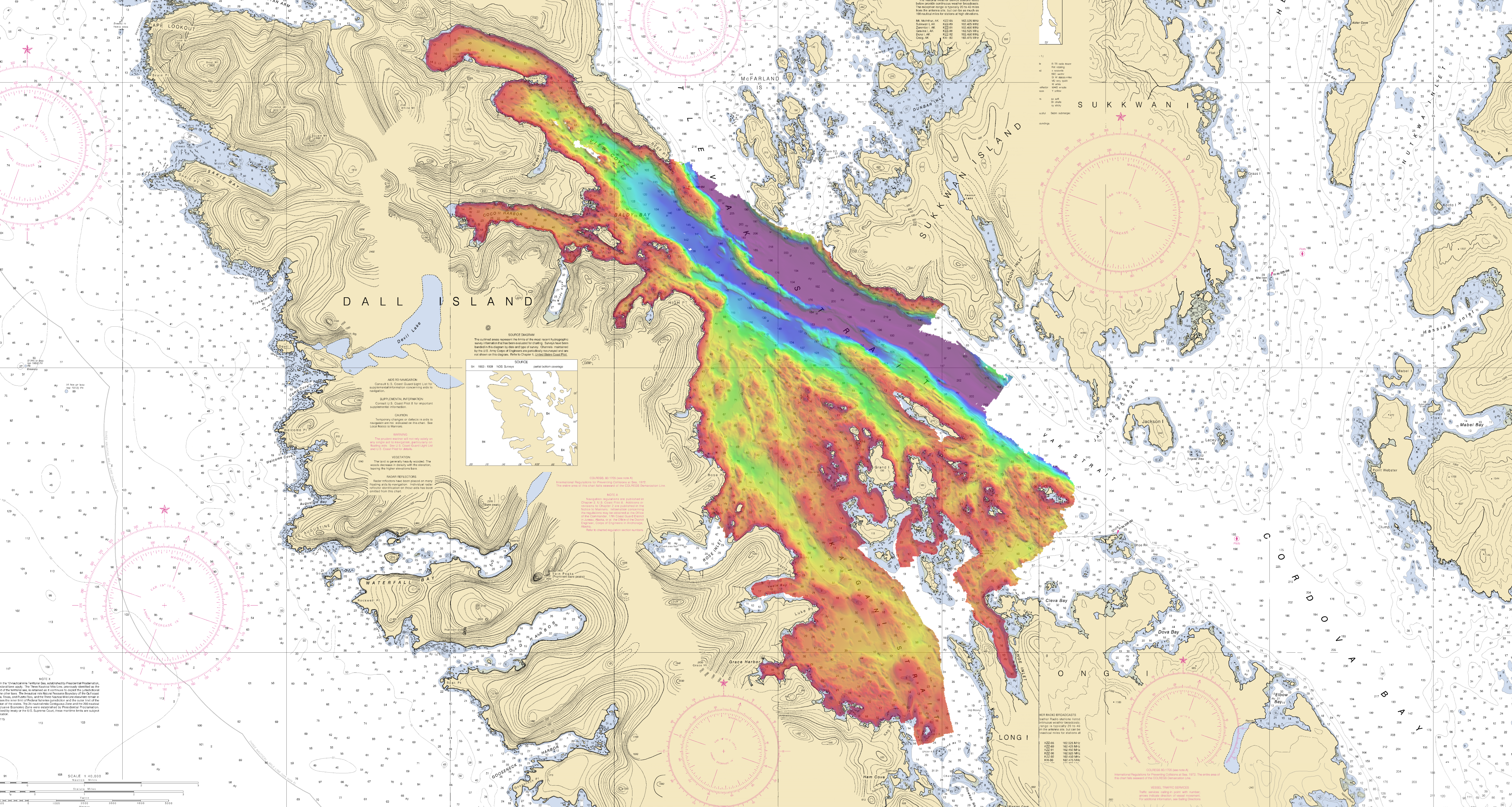
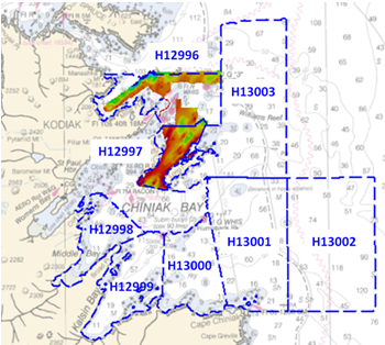
NOAA Ship Rainier surveys the waters around Kodiak Island

by ENS Michelle Levano

Kodiak Island is the 2nd largest island in the United States; it is part of the Kodiak Island Archipelago, a group of islands roughly the size of Connecticut. Due to the island’s location in the Gulf of Alaska and North Pacific Ocean, Kodiak is ranked as third in commercial fishing ports in the U.S. in terms of value of seafood landed. In 2015, the Port of Kodiak was responsible for 514 million pounds of fish and $138 million of product. More than one-third of the jobs in Kodiak are related to the fishing industry.
The Port of Kodiak is home to more than 700 commercial fishing vessels, and has more than 650 boat slips and three commercial piers that can dock vessels up to 1,000 feet. In addition to fishing, Kodiak is the hub of the Gulf of Alaska container logistics system, serving the southwest Alaskan communities with consumer goods and outbound access to the world’s fish markets. Continue reading “NOAA Ship Rainier surveys the waters around Kodiak Island”

Teaming up with small business to expand hydrographic technology

Sandy shoals in certain near shore areas shift continuously and present a danger to navigation. It is logistically impossible to keep nautical charts current using the traditional survey methods when the bottom contours change so rapidly. NOAA’s Office of Coast Survey leverages remote sensing data in new ways to derive bathymetry for the purposes of updating nautical charts in dynamic coastal areas. An exciting new method Coast Survey is exploring is X-band radar wave imaging. Marine radar is not a new technology, however, there are advantages to exploring old technology for new purposes. Many NOAA vessels and other coastal installations are already equipped with the hardware to facilitate this type of data acquisition. Continue reading “Teaming up with small business to expand hydrographic technology”

Collaborative effort to create new nautical chart returns recreational boaters to Haverhill, Massachusetts

NOAA’s Office of Coast Survey released a new electronic navigation chart (NOAA ENC®) of Haverhill, Massachusetts, and the Merrimack River (US5MA1AM). With this new chart, recreational boaters now can safely navigate the Merrimack River from the entrance at Newburyport all the way to Haverhill, just in time for boating season.
Haverhill is a historic New England town that has recently undergone an urban renewal with new federal, state, and private investment in the downtown and waterfront areas. Until now, this area of the river was not depicted at an appropriate scale on a nautical chart for recreational boaters to navigate safely. The community of Haverhill recognized the importance of recreational boaters to their local economy and led a grassroots effort to have a new chart created. Continue reading “Collaborative effort to create new nautical chart returns recreational boaters to Haverhill, Massachusetts”

NOAA releases 2017 hydrographic survey season plans

NOAA’s Office of Coast Survey maintains the nautical charts and publications for U.S. coasts and the Great Lakes. This is over a thousand charts covering 95,000 miles of shoreline and 3.4 million square nautical miles of waters. Measuring depths and determining new dangers to navigation in this large area is a monumental job given the seafloor is constantly changing.
One of NOAA Coast Survey’s biggest tasks during the winter months is to plan hydrographic survey projects for the coming field season. Survey planners consider requests from stakeholders such as marine pilots, local port authorities, the Coast Guard, and the boating community, and also consider other hydrographic priorities in determining where to survey and when. Continue reading “NOAA releases 2017 hydrographic survey season plans”

NOAA navigation response teams improve charts for ships transiting Miami and San Francisco

Coast Survey’s navigation response teams, which are 3-person hydrographic survey teams on small boats, have made a fast start on this year’s survey season.
In Florida, where Coast Survey is preparing to issue a “new and improved” Miami Harbor Chart 11468 to alleviate vessel congestion at the Port of Miami, a navigation response team finished final hydrographic surveys to ensure the new chart has the latest and most accurate depth measurements around several areas identified as critical within the port. In just ten days, team members Erik Anderson, James Kirkpatrick, and Kurt Brown acquired, processed, and submitted the multibeam survey data covering 64 nautical miles.

NRT2 Miami survey
NOAA Navigation Response Team 2 just finished up this survey in Miami

Continue reading “NOAA navigation response teams improve charts for ships transiting Miami and San Francisco”

Great Lakes mariners get new NOAA nautical chart for St. Mary’s River

Vessel operators transiting St. Mary’s River, between Lake Superior and the lower Great Lakes, have a new nautical chart to help lessen the dangers inherent in this narrow and complicated waterway. The first edition of Chart 14887 (St. Marys River – Vicinity of Neebish Island) is available this week as a paper print-on-demand chart, PDF, and raster navigational chart. The electronic navigational chart will be available by March, in time for the beginning of the shipping season. (UPDATE, 2/12/14: NOAA ENC US5MI50 is now available.)
Coast Survey has built the chart from original sources, providing the highest standard of accuracy for hydrographical and topographical features and aids to navigation. The chart provides large-scale (1:15,000) coverage of the up bound and down bound channels of the St. Mary’s River – one of the busiest waterways in the nation. Over 4,100 transits of commercial and government vessels move about 75 million tons of cargo through the 300-day shipping season.
Continue reading “Great Lakes mariners get new NOAA nautical chart for St. Mary’s River”