By Rebecca Formanek
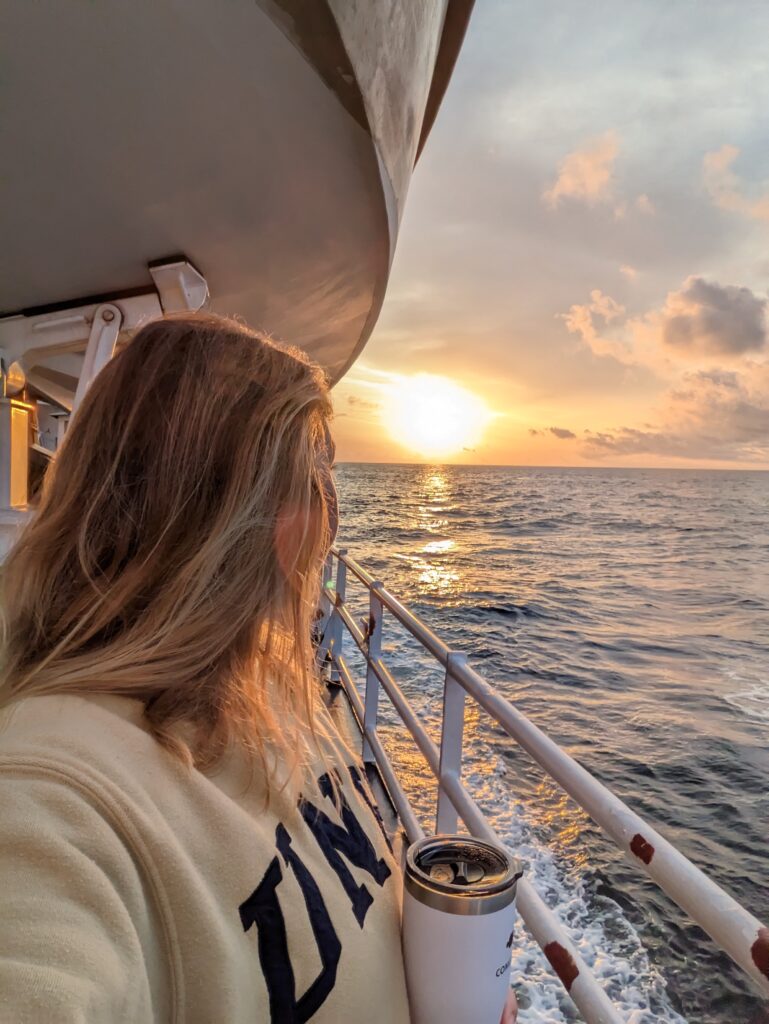
Staring off into the seemingly infinite blue horizon something inside me asks, what secrets lie beneath the last frontier of this planet? Three weeks aboard NOAA Ship Thomas Jefferson showed me I am not the only one to think this. The talented individuals that comprise the crew of Thomas Jefferson demonstrated the range and dedication to discovering these secrets, and I thank them for sharing their time, knowledge, and experiences. If there is anything that can unite a diverse group of people, it is the sea.
My name is Rebecca Formanek, and I am currently a Nippon Foundation/GEBCO scholar undertaking a postgraduate degree in ocean mapping at the University of New Hampshire (UNH). I previously completed a degree in marine science at James Cook University in Townsville, Australia. My home is a 24-hour drive south from Townsville, in a town called Shellharbour, New South Wales, along the southeast coast of Australia. Growing up by the ocean provided me with an ever-changing playground to explore and ultimately shape my future. After completing my degree, I worked for a small hydrographic company in Wollongong, Australia undertaking a variety of surveys as project manager and survey technician, training and mentoring junior staff. Realizing I needed more education, I applied and successfully received a scholarship at UNH. NOAA and GEBCO facilitated my visit aboard a NOAA survey vessel and I am thankful for the experience.
At-sea experience
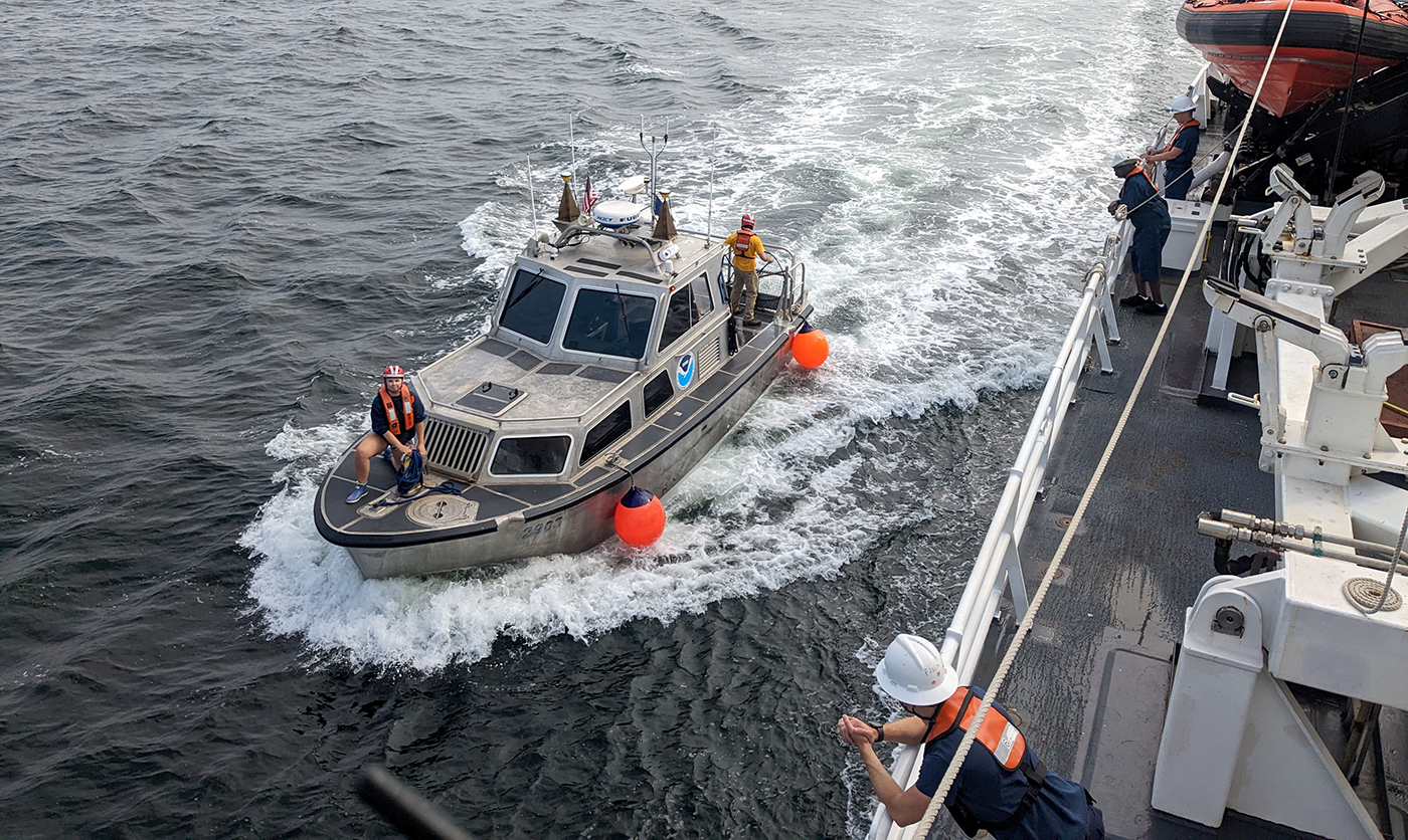
I boarded the Thomas Jefferson on April 16, 2023 to spend three weeks surveying the approaches and channels in Galveston, Texas. The task was to collect multibeam and side scan data for nautical charting. Unfortunately, a few constraints hindered our efforts to do so. Staffing shortages and engine issues saw many of the allocated sea days spent dockside, yet this did not stop surveying attempts. Communications and survey requests from the port resulted in launching a small survey vessel to undertake shallow water surveys. These areas included shallow channel areas, ship berthing space alongside docks, and the Intracoastal Waterway, all while cautiously chasing the inshore limit of hydrography and feature verification, or the navigable area limit line.
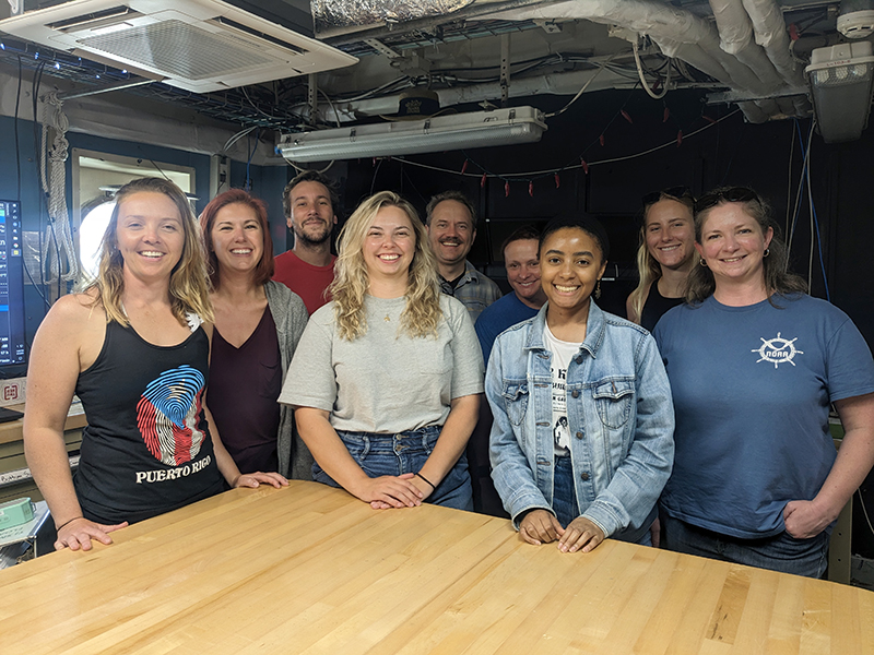
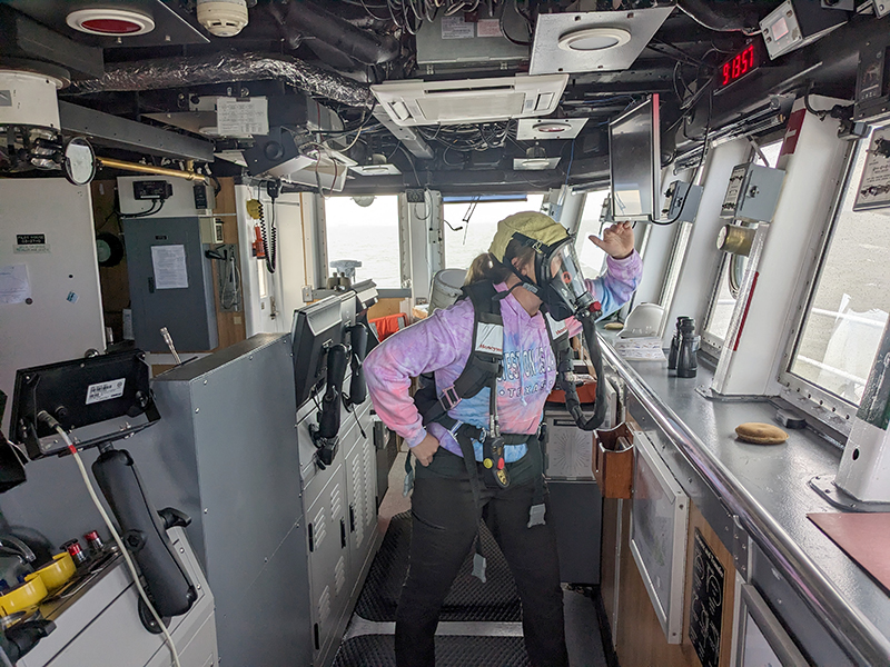
Fortunately, while I was aboard the Thomas Jefferson, Steve Loy from operations and planning, and Kolleen Mortimer who prepares hydrographic data for ingestion into the National Bathymetric Source were also aboard. This allowed me to get a holistic view on NOAA processes, procedures, and products. Moreover, presentations were given on the vessel which provided in-depth understanding of topics such as weather and deliverables. The Thomas Jefferson crew used the dockside time in training and rehearsing fire, abandon ship, and emergency drills which I was encouraged to participate in.
Survey launch experience
Deploying the survey launch was an experience in itself. Prior to the launch, a safety briefing was conducted wherein the departing crew was briefed on the survey areas, weather and tide expectations, followed by an open conversation about vessel maintenance and risk analysis of the day. I was impressed by everyone’s focus on following procedures to ensure a safe working environment. When aboard the launch, either a combination of side scan and multibeam or multibeam only data was collected. I participated in data acquisition and conductivity-temperature-depth profiles. I enjoyed the experience of being on the launch when the waves weren’t too big—when they were, it made for an interesting ride.
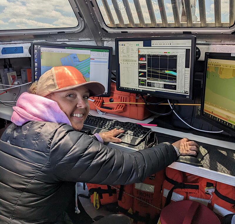
Thomas Jefferson surveying
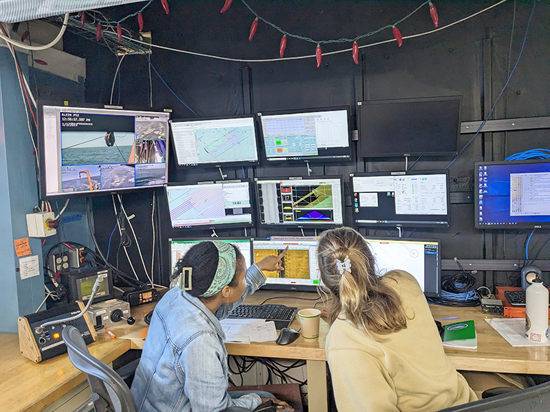
When the vessel was staffed and sorted, Thomas Jefferson headed out to the survey area for general survey operations. During surveying, each team member was allocated a four-hour period to sit on the acquisition station and entrusted with the role of monitoring all data inflows, side scan imagery, and the responsibility for deployment and recovery of towed objects. The layout of the acquisition station can be a little intimidating but after a thorough demonstration from Senior Hydrographic Survey Technician Sarah Thompson, it was much more digestible.
Quite impressively, a surveyor aboard Thomas Jefferson can conduct all duties without leaving the comfort of the acquisition station, albeit to retrieve the side scan during launch and recovery operations of the survey vessel. This is largely due to the use of a moving vessel profiler—a self-contained profiling system capable of sampling water column profiles to 200 meters from a vessel moving up to 12 knots, and deeper depths at slower speeds. One of the variables surveyors are most challenged by is sound speed variations in the water. Numerous sound velocity profiles are required to accurately measure the water’s depth. However, Thomas Jefferson made this simple and the multi-screen display and camera station allows for monitoring the deployment and recovery of the moving vessel profiler.
Personal log
I really enjoyed being aboard Thomas Jefferson and learnt a lot about the way the NOAA fleet not only conducts hydrographic surveys for nautical charting, but also their planning and production stages as well. The crew really welcomed me, and the survey team were very informative and encouraging, a special thanks to Chief Surveyor Erin Cziraki who really made me feel part of the team.
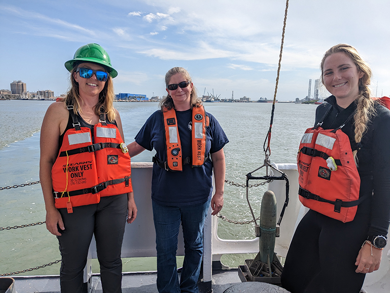
I was happily surprised by the number of female survey personnel aboard. The initiative of this experience was to encourage and empower women in hydrography and NOAA is really leading by example in that regard. I think this initiative is so important and when paired with a strong female crew and a female chief surveyor, it made me realize how diverse workplaces can really be.

