U.S. and Canada eliminate overlapping ENC coverage in the Great Lakes

Countries issue advance notice for changes in electronic charts

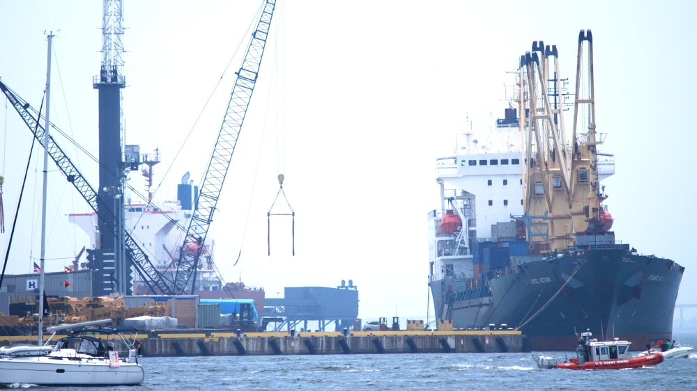
To comply with internationally agreed practices, Canada and the U.S. have been eliminating overlapping coverage of electronic navigational charts (ENCs). New changes will soon take effect in the Great Lakes. Under the new ENC coverage scheme, each country is changing their areas of coverage so that only one country’s ENC is available for any given area at a particular scale.
These changes come into effect 0000 Coordinated Universal Time (UTC), on 22 February, 2013.
Continue reading “U.S. and Canada eliminate overlapping ENC coverage in the Great Lakes”

Coast Survey supports inauguration preparations

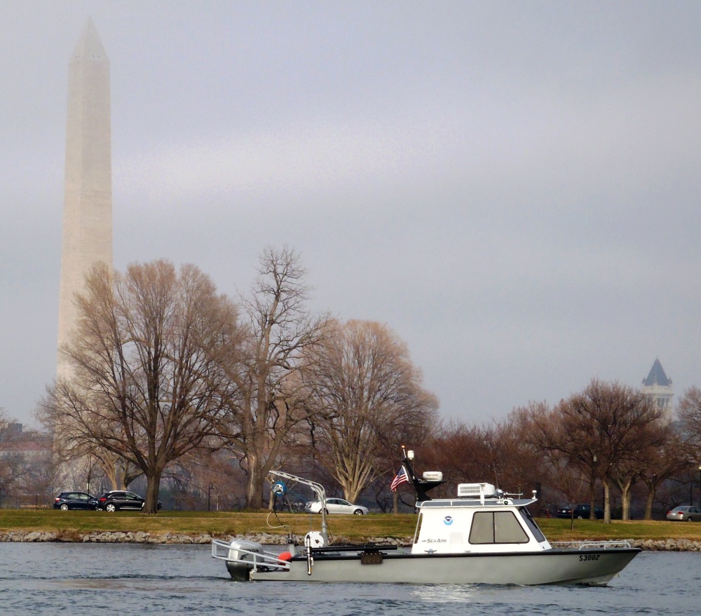
It was an honor to assist with preparations for the Presidential Inaugural.  Our assistance, provided before the event, was a combined effort by one of our navigation response teams, survey technicians, cartographers, and several NOAA officers. Coast Survey’s work was additionally supported by colleagues at NOAA’s Center for Operational Oceanographic Products and Services.

NRT5 surveys the Potomac River

For more about navigational planning for the Potomac River, see Coast Guard to establish security zone for the presidential inauguration.

What is the future of e-Navigation? CMTS wants to hear from you

The U.S. Committee on the Marine Transportation System, a federal inter-agency partnership that develops national MTS policy, is asking for your ideas on the future of e-navigation.
They’ve set up a unique online site to facilitate the conversation, and they invite anyone with an interest in the U.S. marine transportation system to join the discussion. (Deadline for comments is February 28.) For background, you might want to read the committee’s e-Navigation Strategic Action Plan.
DSC_0049As defined by the International Maritime Organization (IMO), e-navigation is “the harmonized collection, integration, exchange, presentation, and analysis of maritime information onboard and ashore by electronic means to enhance berth-to-berth navigation and related services for safety and security at sea and protection of the marine environment.”
Continue reading “What is the future of e-Navigation? CMTS wants to hear from you”