
In June 2011, Coast Survey issued the first edition of the Arctic Nautical Charting Plan, a major effort to improve Arctic chart coverage that is inadequate for modern needs. After consultations with maritime interests and the public, as well as with other federal, state, and local agencies, we have issued the updated Arctic Nautical Charting Plan: A plan to support sustainable marine transportation in the Alaska and the Arctic.
“Maritime challenges are increasing in the Arctic. As multi-year sea ice continues to disappear at a rapid rate, vessel traffic in the Arctic is on the rise,” said Rear Admiral Gerd Glang, Coast Survey’s director. “This is leading to new maritime concerns, especially in areas increasingly transited by the offshore oil and gas industry and cruise liners.”
Continue reading “Coast Survey issues new Arctic Nautical Charting Plan”
Hydro survey plans coming together for 2013
Survey ships and contractors are preparing for NOAA’s 2013 hydrographic survey season. Operations are tentatively scheduled for maritime priority areas from Maine’s Penobscot Bay, down the coast to New York and Rhode Island, and further south to coastal Virginia and approaches to Chesapeake Bay. In the Gulf, current plans are for surveying approaches to Mississippi Sound, Barataria Bay, and the Louisiana coast. Pacific Northwest surveys include Strait of Juan De Fuca and offshore Oregon and Washington. Alaskan survey plans include numerous locations, from the extreme southeastern canals, through the islands, and up to Port Clarence, Red Dog Mine, and Point Barrow.
Additionally, Coast Survey’s navigation response teams are lined up to survey in Panama City, Jacksonville, and St. Augustine, Florida; Galveston and Sabine Pass, Texas; Eastern Long Island Sound; and San Francisco Bay.
Continue reading “Hydro survey plans coming together for 2013”
Recreational boaters get – and give – free nautical information
Getting free information
One of NOAA’s handiest navigation products, especially for recreational boaters, has been Coast Survey’s experimental BookletCharts™ — nautical charts that are easy to download and print from home computers. We have now moved the BookletCharts from experimental stage into official production.
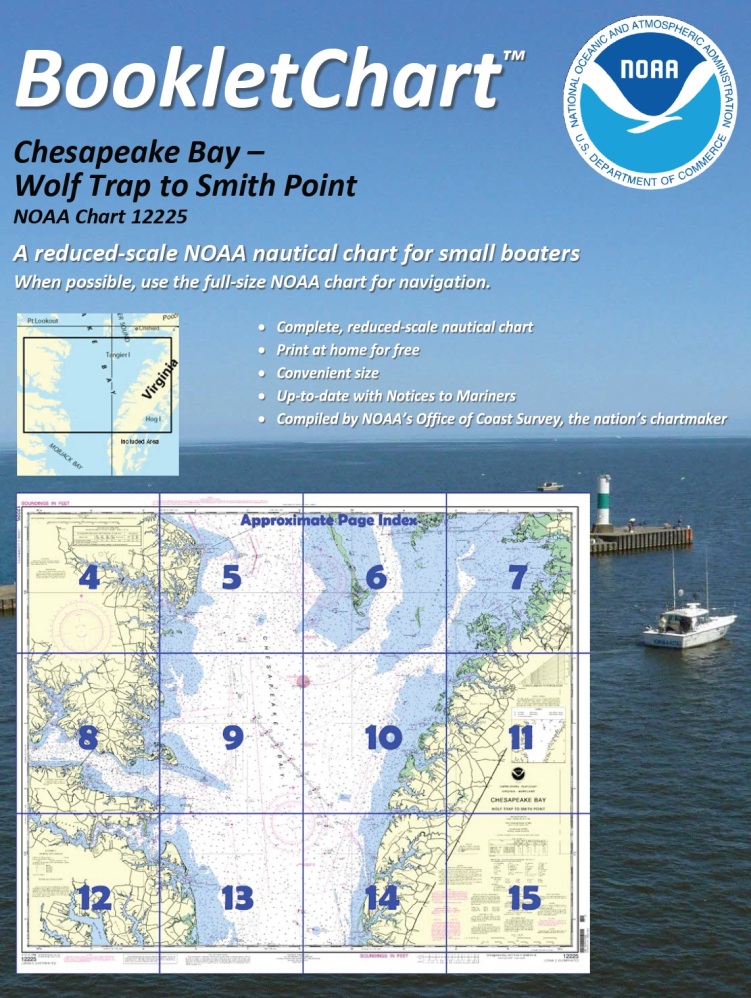 Nearly a thousand newly updated BookletCharts are available free on the Web. The BookletCharts, which cover the 95,000 miles of U.S. coastline and the Great Lakes, are smaller scale than our traditional paper charts, but they contain most of the information found on a full-scale nautical chart. They are in an 8 1/2 x 11 inch PDF format for home printing.
“It is especially appropriate that we unveil these easy-to-use nautical charts as recreational boaters begin to think about their boating adventures for 2013,” explained Capt. Jon Swallow, chief of NOAA Coast Survey’s Navigation Services Branch. “NOAA’s nautical charts help to protect lives and property, and boaters should take advantage of these free nautical products.”
Continue reading “Recreational boaters get – and give – free nautical information”