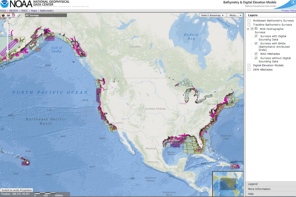
by Marcus Cole, Coast Survey’s Cartographic & Geospatial Technology Program
Many are familiar with hydrographic surveys used to update nautical charts.
It isn’t enough, however, to collect just bathymetry during a survey. Without the context, such as when the data was collected, what instrumentation was used, or which tide stations were used to adjust the bathymetry to a particular datum, the data can’t be compiled into a chart update. The data can’t be discovered for a fish habitat study, or an analysis of coastal erosion, or tsunami inundation modeling. And, until two years ago, this metadata (data about data) was collected in a paper document that hadn’t changed much during the last century.

Continue reading “NOAA improves public access to hydrographic survey descriptive reports”
Is your boat is ready: Remember your nautical chart
Ah, the boat is ready, the safety vests are stowed on board, the sky is blue, and the water beckons… But hold on a sec, sailor! Where is your nautical chart?
A terrific t-shirt is sold in tourist shops at some of our nation’s harbors. It has a “definition” of a nautical chart splayed across the front: “chärt, n: a nautical map that shows you what you just hit.” It’s funny… but unfortunately, too true too often.
Resolve to get your nautical chart this year and consult it before you hit something. Advancements in Coast Survey’s digital processes now allow us to review and update charts weekly, and get them to boaters’ fingertips faster − and with less expense − than was possible years ago.
Continue reading “Is your boat is ready: Remember your nautical chart”
NOAA Coast Survey, Coast Guard, and Army Corps of Engineers schedule public “listening sessions”
Over the past few decades, mariners have witnessed the rapid development, reliability, and availability of e-navigation components, such as the global positioning system (GPS) and electronic chart display and information systems (ECDIS). These systems, and other technology, have fundamentally changed mariners’ reliance on traditional navigation services. In addition, the ability to manage data and information provided to the mariner through the automatic identification system (AIS) and cellular service has enhanced the interconnectivity between shore side information providers and shipboard users. These technological advances and data flow will help the mariner receive data, transmit data, and generally improve bridge resource management, situational awareness, and navigational safety.
Continue reading “NOAA Coast Survey, Coast Guard, and Army Corps of Engineers schedule public “listening sessions””
