All aboard! NOAA’s Bay Hydro II opens its doors to the public at the Port of Baltimore’s National Maritime Day Event

Matt Carter, Survey Technician, answers questions about surveying and charting aboard the Bay Hydro II.

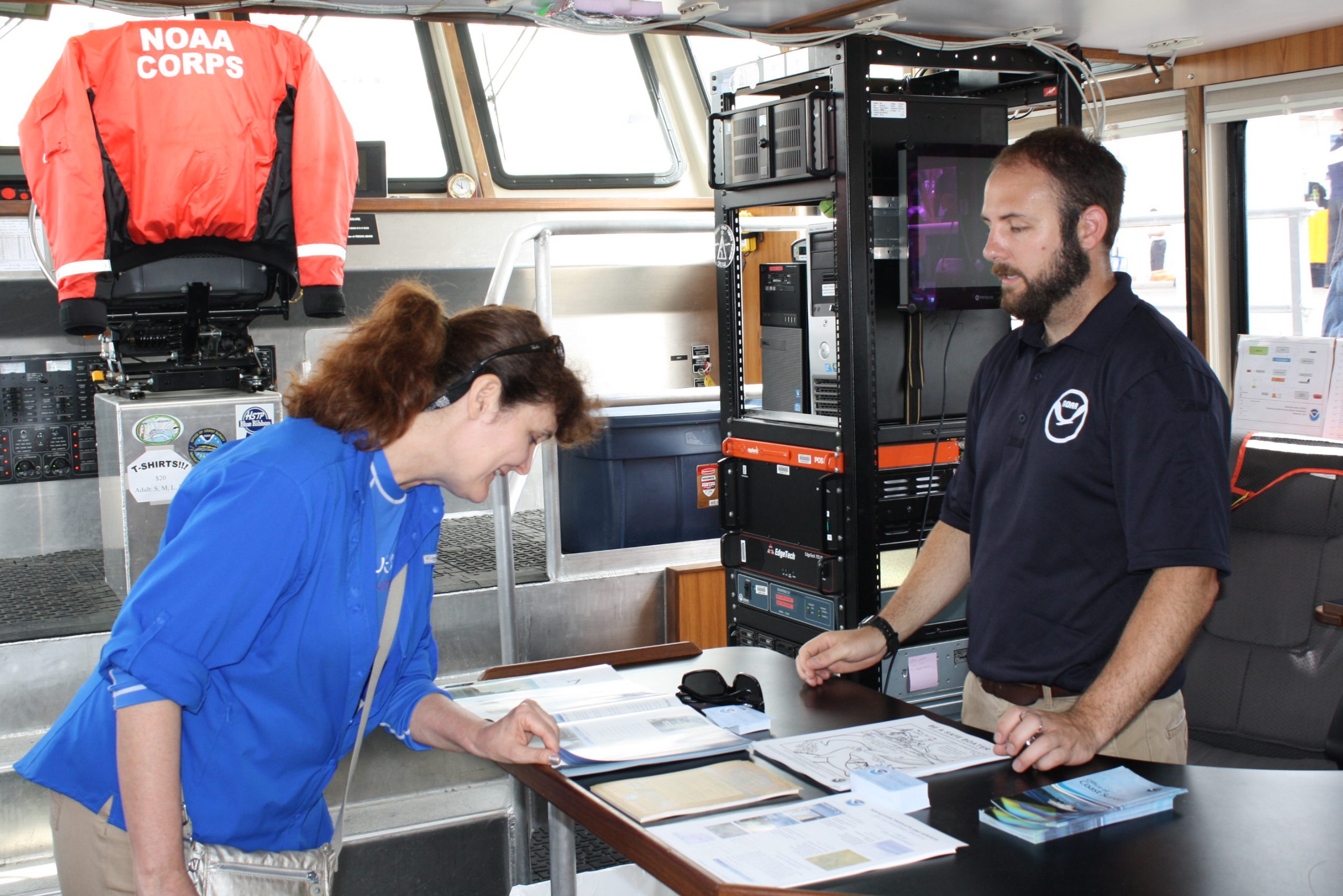
What better way to recognize National Maritime Day than to spend a day at the Port of Baltimore talking with the public about NOAA’s hydrographic survey work.  Coast Survey’s research vessel Bay Hydro II, moored at pier 13 Canton Marine Terminal across from the NS Savannah, participated in the Port of Baltimore’s National Maritime Day celebration on Sunday, May 17.
A great cross-section of visitors came on board throughout the day. From students and families with small children to retired Navy sonar operators, there was no shortage of enthusiastic people to talk to.
Continue reading “All aboard! NOAA’s Bay Hydro II opens its doors to the public at the Port of Baltimore’s National Maritime Day Event”

Coast Survey improves the U.S. Coast Pilot by providing geotags

The U.S. Coast Pilot, the supplement to raster navigational charts (NOAA RNC®) and electronic navigational charts (NOAA ENC®), now provides geotagged reference points. A geotag is simply geographical location information assigned to a type of media. In this case, a geotag conveniently assists mariners with landmark positions and displays the associated nautical chart inset in the HTML version of Coast Pilot. Currently, 75 percent of the nine Coast Pilot volumes have been geotagged, with more points available each week to the mariner. Coast Pilot is updated and available for download weekly, and can easily be used on mobile devices such as smart phones and tablets. To access the geotags, select a Coast Pilot book and click the HTML hyperlink adjacent to each individual chapter of the book.

Access to the HTML version of Coast Pilot, where the geotags are located, can be found within each Coast Pilot Book webpage.  This image shows the location of the HTML link for Coast Pilot Book 2.
Access to the HTML version of Coast Pilot, where the geotags are located, can be found within each Coast Pilot Book webpage. This image shows the location of the HTML link for Coast Pilot Book 2.

Continue reading “Coast Survey improves the U.S. Coast Pilot by providing geotags”