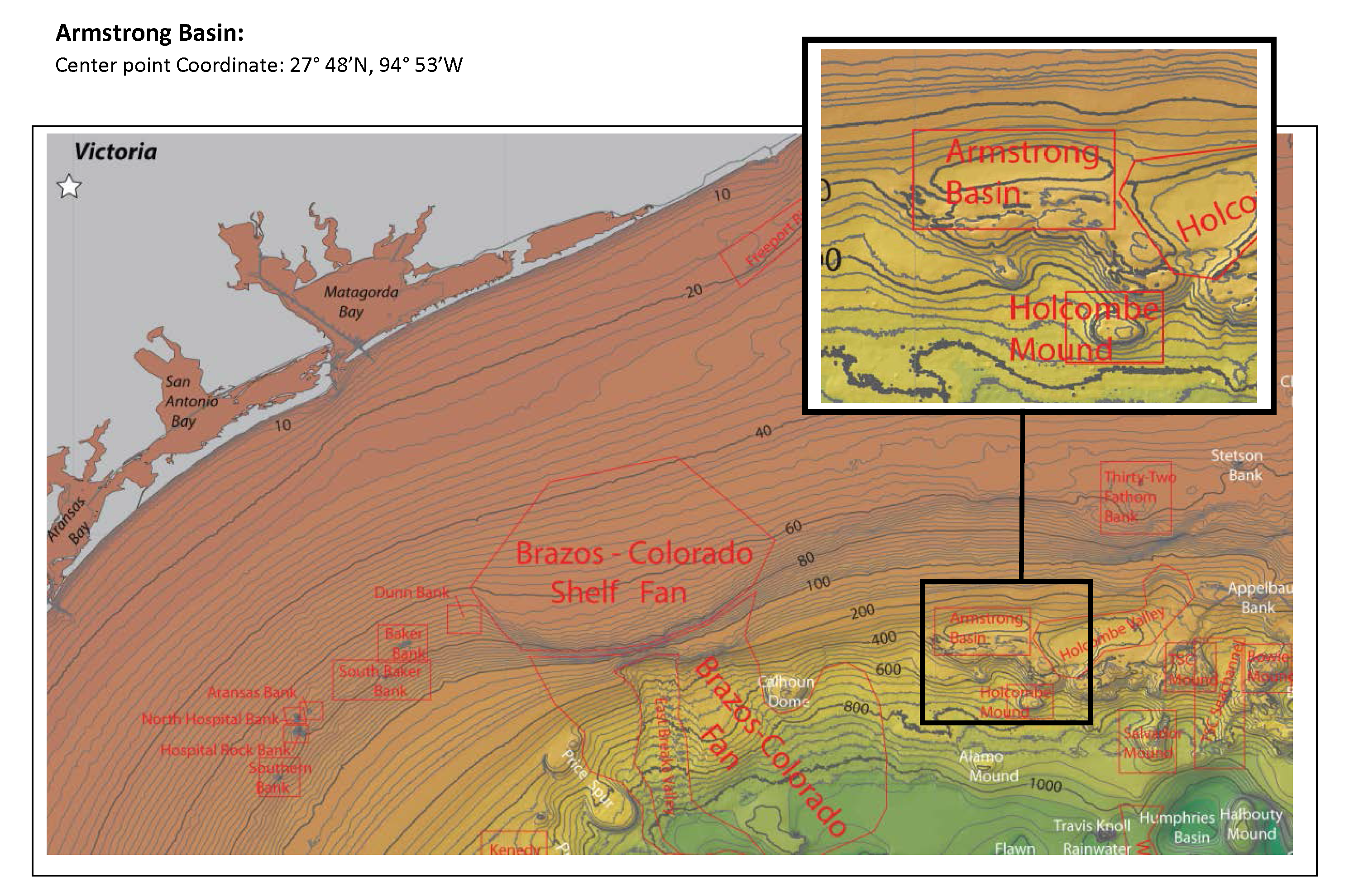
The U.S. Board on Geographic Names recently named four previously unknown basins in the United States Exclusive Economic Zone (EEZ) in the Gulf of Mexico, honoring retired NOAA officers who mapped the area in the late 1980s and early 1990s. The names — Armstrong Basin, Floyd Basin, Matsushige Basin and Theberge Basin — were proposed by Texas A&M University, based on their new compilation of bathymetry drawn largely from the NOAA multibeam mapping project conducted by now-decommissioned NOAA ships Whiting and Mt. Mitchell.
Retired NOAA Capt. Richard P. Floyd was the commanding officer of NOAA Ship Whiting from February 1990 to March 1992; he was followed by retired Capt. Andrew A. Armstrong III, who was CO from February 1992 to January 1994. Retired NOAA Capt. Roy K. Matsushige was commanding officer of NOAA Ship Mt. Mitchell from December 1988 to January 1991, followed by retired Capt. Albert E. Theberge, who served as CO from January to November 1991. The officers led the bathymetric mapping operations under the direction of NOAA’s Office of Charting and Geodetic Services, a predecessor of today’s Office of Coast Survey.
Continue reading “Four Gulf of Mexico basins named for officers who led EEZ bathymetric mapping”

News and Updates