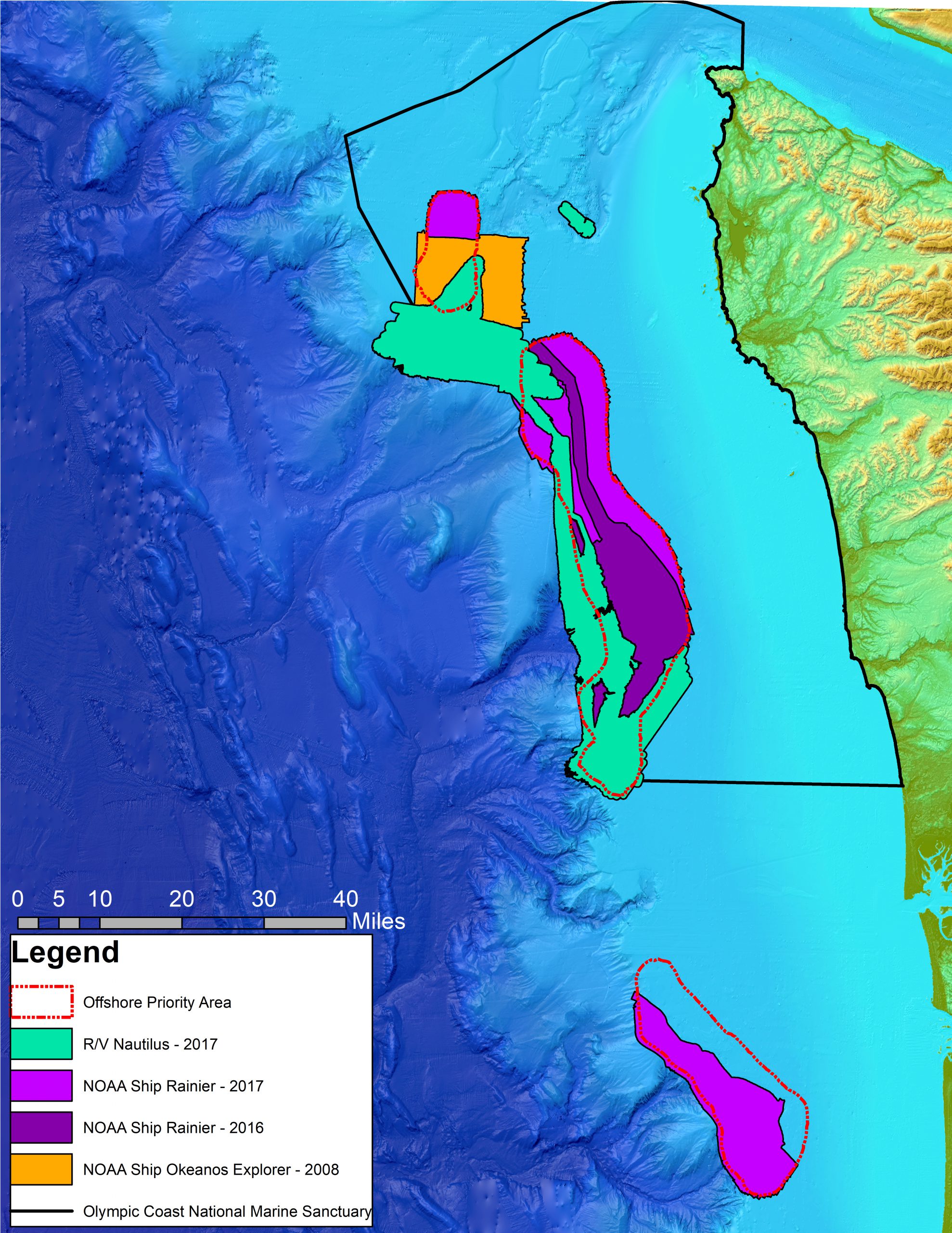
In September 2017, NOAA’s Integrated Ocean and Coastal Mapping Program completed a multi-year ocean mapping project off the coast of Washington in Olympic Coast National Marine Sanctuary. This project grew out of a seafloor mapping prioritization exercise led by NOAA’s National Centers for Coastal Ocean Science on behalf of the State of Washington in May 2015. The prioritization exercise integrated the priorities of coastal stakeholders representing numerous federal and state (Oregon and Washington) agencies, coastal treaty tribes, and academic institutions to determine where to concentrate future survey efforts. One identified priority was the need for a better understanding of the bathymetry and habitats of Washington’s submarine canyons, particularly three offshore areas in need of enhanced data collection efforts. Continue reading “NOAA completes multi-year ocean mapping project off the Olympic Coast”
NOAA completes multi-year ocean mapping project off the Olympic Coast