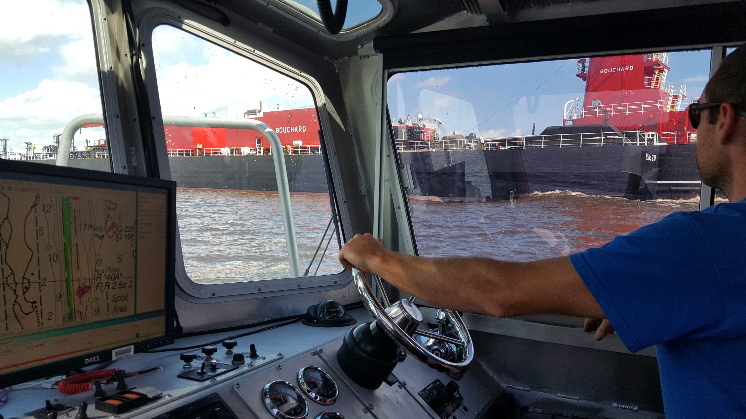
While conducting hydrographic surveys at the request of the U.S. Coast Guard following Hurricane Florence, NOAA’s Office of Coast Survey navigation response teams (NRT) identified hazardous obstructions in the Cape Fear River channel. Since these dangers to navigation will remain in place while the port reopens, NOAA updated its charts with the new hazards and distributed them to the port, Coast Guard, and key stakeholders. The time from the survey to the publication of the chart was less than 24 hours, an unprecedented accomplishment for Coast Survey. Continue reading “NOAA charts new hazards and helps ports recover following Hurricane Florence”
NOAA Ship Thomas Jefferson presents survey work to Puerto Rico South Coast stakeholders
By Cmdr. Chris van Westendorp, Commanding Officer of NOAA Ship Thomas Jefferson
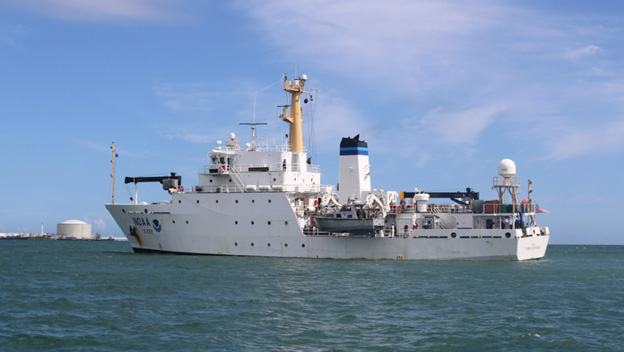
Almost one year following the passage and destruction of Hurricane Maria, NOAA Ship Thomas Jefferson has returned to Puerto Rico. Following the storm, Thomas Jefferson deployed in September 2017 for hydrographic hurricane response work in Puerto Rico and the U.S. Virgin Islands (PR/USVI). The ship and crew surveyed 18 individual port facilities to ensure safety of navigation and help re-open the region for maritime commerce. Thomas Jefferson’s second major project of 2018 has brought the ship back to Puerto Rico from August to November, conducting follow-up survey work along the north and south coasts. Continue reading “NOAA Ship Thomas Jefferson presents survey work to Puerto Rico South Coast stakeholders”
NOAA readies survey response teams ahead of Hurricane Florence
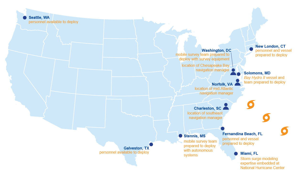
Hurricane Florence is due to make landfall on Friday morning, September 14, on the coast of North Carolina. While it creeps its way toward the East Coast, NOAA’s Office of Coast Survey is prepared to deploy its hydrographic survey assets to help speed the resumption of vessel traffic in our nation’s ports following the storm. Continue reading “NOAA readies survey response teams ahead of Hurricane Florence”
NOAA surveys support safe anchorage in the Columbia River
By Lt. j.g. Michelle Levano
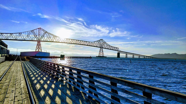
Starting in the Rocky Mountains of British Columbia, the Columbia River flows through Washington state and turns west to form the border of Washington and Oregon, serving as the largest river in the Pacific Northwest region.
The river and its tributaries are central to Pacific Northwest culture and the lifeblood of the regional economy. The Columbia River is the West Coast’s leader in foreign trade supporting 50 million tons of dry bulk, mineral bulk, wood, and auto imports and exports. It is also the nation’s leading wheat export gateway and second for corn and soybean exports. Continue reading “NOAA surveys support safe anchorage in the Columbia River”


