The field of hydrography, like most sciences, is comprised of experts honing their craft, improving their tools, building upon the successes of previous years, and learning from their mistakes. Hydrographers typically accomplish this iterative process in the field, publishing papers, presenting at industry conferences, and often through discussions over the phone or via email. However, once a year, the NOAA hydrographic community — those who measure and describe the features of the seafloor to update nautical charts and support a variety of sciences — meets at the Field Procedures Workshop to not only share information, but have frank discussions about their challenges and the path forward in preparation for the upcoming hydrographic field season.
Continue reading “NOAA hydrographic community prepares for field season at annual workshop”NOAA releases 2020 hydrographic survey season plans
NOAA hydrographic survey ships and contractors are preparing for the 2020 hydrographic survey season. The ships collect bathymetric data (i.e. map the seafloor) to support nautical charting, modeling, and research, but also collect other environmental data to support a variety of ecosystem sciences. NOAA considers hydrographic survey requests from stakeholders such as marine pilots, local port authorities, the Coast Guard, and the boating community, and also consider other hydrographic and NOAA science priorities in determining where to survey and when. Visit our “living” story map to find out more about our mapping projects and if a hydrographic vessel will be in your area this year!
Continue reading “NOAA releases 2020 hydrographic survey season plans”NOAA in the Great Lakes supports inter-agency search for WWII aircraft
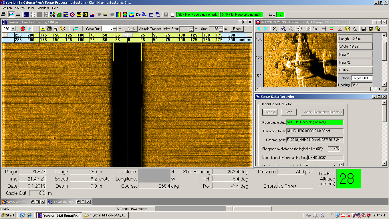
Did you know that there are about 120 World War II era aircraft lying at the bottom of Lake Michigan? The Navy used these aircraft to train and certify pilots to take off and land from aircraft carriers during World War II. U.S. Naval operations along Lake Michigan, one of the Great Lakes, began in 1923. Between 1923 and 1942, operations expanded as the Navy built hangars, airfields, and landing strips across the village of Glenview, Illinois. By 1942, the Navy had a robust presence on the shores of Lake Michigan. With the U.S. entrance into World War II, the Navy needed a location to train carrier pilots. The growing threat of enemy vessels and mines along the Pacific and Atlantic coastlines and an already strong Naval presence in the area made Lake Michigan the safest location for carrier training.
Continue reading “NOAA in the Great Lakes supports inter-agency search for WWII aircraft”


