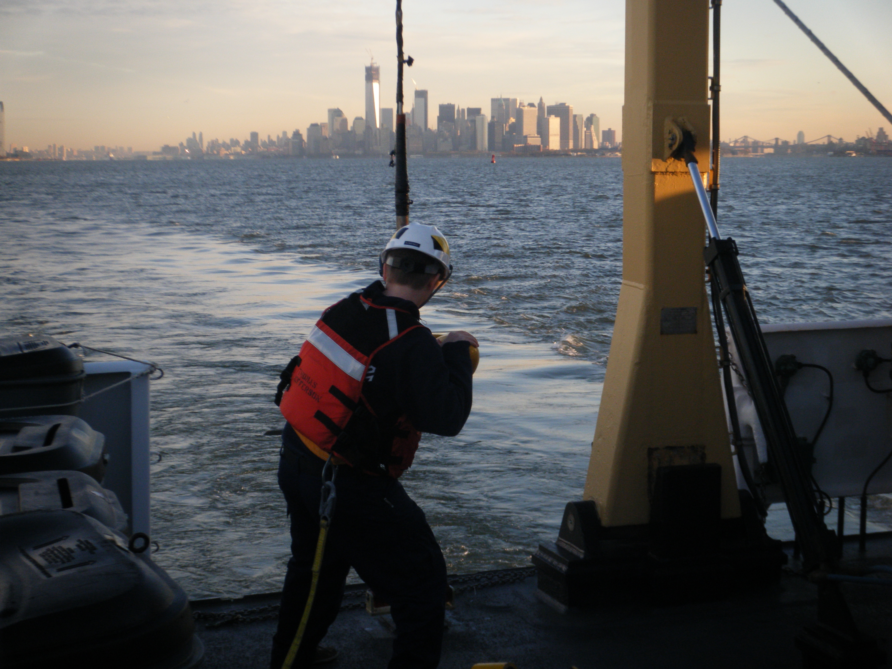
by Ensign Brittany Anderson, Junior Officer, NOAA Ship Thomas Jefferson
 The NOAA Ship Thomas Jefferson wrapped up her field season last week.
After 193 days away from home, the hydrographic survey vessel completed 14, 768.9 linear nautical miles of survey. This covered 352 square nautical miles of area in Long Island Sound and Block Island Sound. Due to this work, 38 dangers to navigation (DTONs) were issued, protecting maritime traffic in the area.
Continue reading “NOAA Ship Thomas Jefferson returns to homeport”
NOAA’s navigation assets complete primary post-Sandy assignments, remain available to assist
NOAA continues to work in partnership with other federal, state, and local partners in response to the devastation of Hurricane Sandy. NOAA’s efforts are focused on navigation surveys to restore maritime commerce; aerial surveys to assist in those efforts and to aid on-the-ground responders from FEMA and local authorities; and in oil spill cleanup and damage assessment. NOAA’s National Weather Service is also keeping authorities aware of changing weather conditions that could impact recovery and response efforts.
NOAA’s hydrographic survey vessels, including two three-person navigation response teams (NRTs) and the NOAA Ship Thomas Jefferson with her two survey launches, have completed surveys of the Port of New York and New Jersey. Working over the past five days, the high-tech vessels searched approximately 20 square nautical miles of shipping lanes, channels, and terminals to search for dangers to navigation.

Continue reading “NOAA’s navigation assets complete primary post-Sandy assignments, remain available to assist”
Surveys continue in Port of New York / New Jersey, completed in Virginia
Coast Survey’s major survey operations in response to Sandy are completed in Port of Virginia, allowing port operations to resume. That timely resumption is proving to be vital for East Coast shipping, as the port is now receiving cargo diverted from the Port of New York and New Jersey. Associated Press is reporting that more than a thousand containers were offloaded in Virginia yesterday, with more on the way.
Meanwhile, critical survey work continues in the Port of New York and New Jersey, with two of Coast Survey’s navigation response teams (NRT) and two of the Thomas Jefferson launches continuing their search for dangers to navigation in shipping channels and terminals. Today, the high tech survey boats attached to the Thomas Jefferson surveyed the East River, as the ship processes data for delivery to the Coast Guard. One of the boats then went to survey Church Hill Channel this afternoon, while the other went to Gravesend Bay. NRT 2 is surveying Port Elizabeth and Port Newark in Newark Bay. NRT 5 surveyed Kill Van Kull and then proceeded to Author Kill.
Continue reading “Surveys continue in Port of New York / New Jersey, completed in Virginia”
Thomas Jefferson night work gives go-ahead for fuel barge delivery into New York – New Jersey

Even before Sandy hit the New Jersey shore, NOAA’s Office of Coast Survey was mobilizing to respond to the emergency, preparing vessels, personnel, and equipment to conduct hydrographic surveys of hard-hit areas, searching for the underwater debris and shoaling that can paralyze shipping at the nation’s ports.
Continue reading “Thomas Jefferson night work gives go-ahead for fuel barge delivery into New York – New Jersey”
Post-SANDY navigation response in full swing
Continue reading “Post-SANDY navigation response in full swing”
NOAA Ship Thomas Jefferson mapping Long Island Sound seafloor: contributing to multi-level collaboration
How many geospatial products can be developed by one seafloor mapping project? As a phased-in project for Long Island Sound shows, a strong collaboration among diverse groups of researchers and technology developers can integrate temporal and geospatial data sources to produce dozens of products. In addition to updating NOAA’s nautical charts, ongoing collaborations in Long Island Sound will create products that depict physical, geological, ecological, geomorphological, and biological conditions and processes – all to balance the development of new ocean uses while protecting and restoring essential habitats.
Continue reading “NOAA Ship Thomas Jefferson mapping Long Island Sound seafloor: contributing to multi-level collaboration”
NOAA Ship Thomas Jefferson finds two divers in Block Island Sound
NOAA hydrographic survey vessels are valuable assets for search and rescue operations, as experienced crews use their knowledge of tides and ocean currents to develop science-based search patterns. Last month, two divers found out just how valuable NOAA’s expertise can be. — DF
Report submitted by Ensign Brittany Anderson, NOAA Ship Thomas Jefferson
On the morning of August 26, 2012, NOAA Ship Thomas Jefferson was conducting routine hydrographic survey operations south of Block Island. At 0904 hours, a distress call was made on the very high frequency (VHF) radio to the Coast Guard Station. The caller reported two divers lost in the water at Southwest Ledge, a popular recreational point off Block Island. The coordinates were a mere seconds north of the Thomas Jefferson.
Continue reading “NOAA Ship Thomas Jefferson finds two divers in Block Island Sound”
