How tall is that rock, really? Is that islet charted correctly? Mariners will have greater confidence in the location and height of charted features as NOAA’s hydrographic ships increase their use of newly adopted laser technology to measure and locate topographical features like rocks, islets, and small islands.
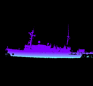
NOAA survey ships adopt laser scanners to improve safety at sea